Ayton Hill
Hill, Mountain in Berwickshire
Scotland
Ayton Hill

Ayton Hill is a prominent hill located in the picturesque region of Berwickshire, in the Scottish Borders of Scotland. Rising to an elevation of approximately 213 meters (699 feet), it is a notable landmark that offers breathtaking panoramic views of the surrounding countryside.
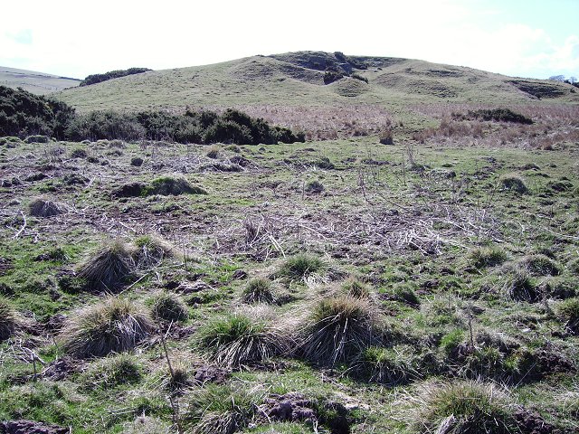
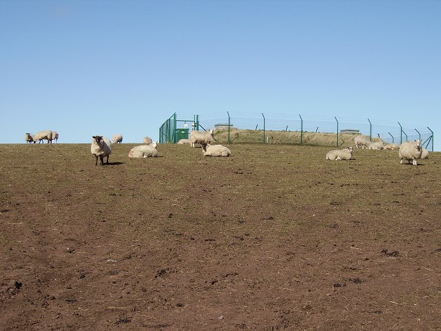
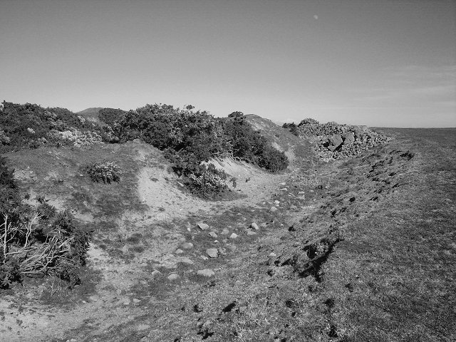
Covered in lush green vegetation, Ayton Hill is known for its gentle slopes and well-defined trails, making it a popular destination for hikers and nature enthusiasts. The hill is characterized by a mix of grassy meadows, heather moorlands, and scattered trees, creating a diverse and captivating landscape.
At the summit of Ayton Hill, visitors are rewarded with stunning vistas that stretch across the Berwickshire countryside, with glimpses of the North Sea in the distance. The hill's strategic location provides a unique vantage point to appreciate the natural beauty of the area, including the rolling hills, farmland, and quaint villages that dot the landscape.
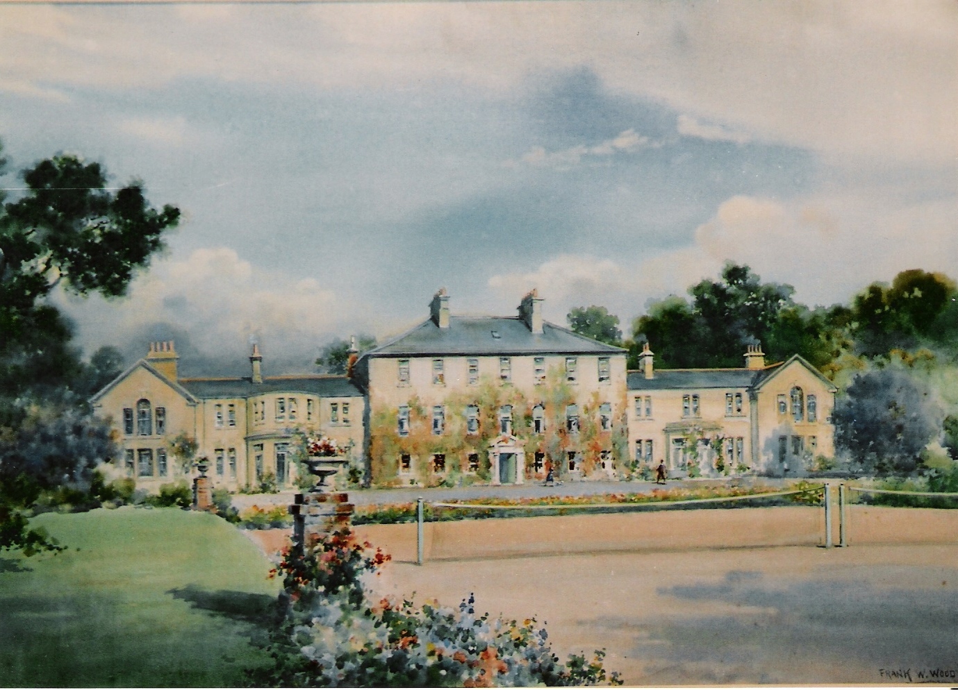
Aside from its natural appeal, Ayton Hill also holds historical significance. On its slopes lies the remains of Ayton Castle, a 19th-century mansion built in the Scottish Baronial style. Although the castle is largely in ruins, its remnants add an air of mystery and intrigue to the hill, attracting history buffs and curious explorers.
Overall, Ayton Hill in Berwickshire is a captivating natural landmark that offers a perfect blend of scenic beauty, outdoor recreation, and historical charm. Its accessibility, diverse terrain, and stunning views make it a must-visit destination for anyone seeking an authentic Scottish countryside experience.
If you have any feedback on the listing, please let us know in the comments section below.
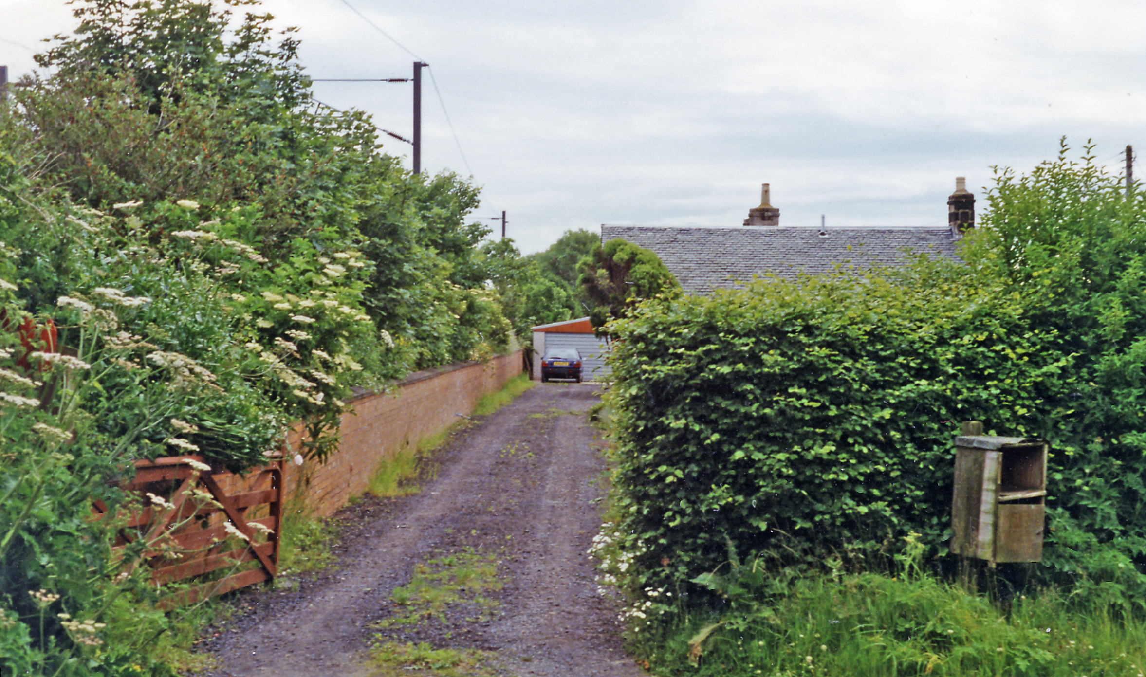
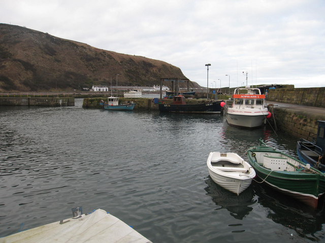
Ayton Hill Images
Images are sourced within 2km of 55.821322/-2.0899883 or Grid Reference NT9458. Thanks to Geograph Open Source API. All images are credited.


Ayton Hill is located at Grid Ref: NT9458 (Lat: 55.821322, Lng: -2.0899883)
Unitary Authority: The Scottish Borders
Police Authority: The Lothians and Scottish Borders
What 3 Words
///stove.speedily.flamed. Near Eyemouth, Scottish Borders
Nearby Locations
Related Wikis

Lamberton Castle
Lamberton Castle was a castle located at Lamberton, in Scottish Borders, Scotland. The castle was a stronghold of the Lindsay family. It was the caput...
Mordington
Mordington is an agricultural parish in the extreme south-east of Berwickshire in the Scottish Borders region. It is five miles from Berwick-upon-Tweed...
Ayton railway station
Ayton railway station was a station which served the village of Ayton in the Scottish area of Scottish Borders. It was located on what is now known as...

Lamberton Skerrs
Lamberton Skerrs is towards the southernmost point on the east coast of Scotland. It was the scene of a building known as the "Smuggler's Bothy" which...
Burnmouth
Burnmouth is a small fishing village located adjacent to the A1 road on the east coast of Scotland. It is the first village in Scotland on the A1, after...
Ross, Scottish Borders
Ross is a hamlet on the coast of the Scottish Borders area of Scotland, south of Burnmouth, in the parish of Ayton, and close to the A1. Ross is one of...

Burnmouth railway station
Burnmouth railway station served the village of Burnmouth, Ayton, Scotland from 1848 to 1962 on the East Coast Main Line. == History == There is some confusion...
Lamberton, Scottish Borders
Lamberton is a hilly, former landed estate in Berwickshire, Scotland, its eastern boundary being the North Sea. It is 4 miles (6.4 km) north of Berwick...
Nearby Amenities
Located within 500m of 55.821322,-2.0899883Have you been to Ayton Hill?
Leave your review of Ayton Hill below (or comments, questions and feedback).