Adziel Wood

Wood, Forest in Aberdeenshire

Scotland

Adziel Wood

Lest We Forget - Strichen The Strichen memorial out side the town hall.
Lest We Forget - Strichen Credit: Ralph Greig

Adziel Wood is a serene and enchanting forest located in Aberdeenshire, Scotland. Spanning over a vast area, this woodland is nestled within the stunning countryside, offering visitors a truly immersive and tranquil experience.

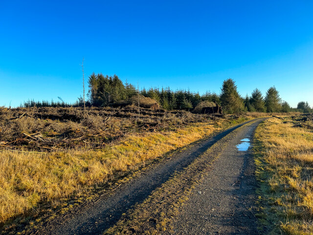
The forest is characterized by its dense and diverse vegetation, comprising a variety of trees including oak, beech, and birch. These majestic trees tower over the woodland, creating a captivating canopy that filters sunlight and creates a play of shadows on the forest floor. The vibrant colors of the leaves during autumn add an extra layer of beauty to this already picturesque location.

Adziel Wood is home to a rich array of wildlife, making it a haven for nature lovers and photographers. Visitors may be fortunate enough to spot red squirrels, roe deer, and a plethora of bird species including woodpeckers and owls. The forest's abundance of flora and fauna makes it an ideal spot for birdwatching and wildlife photography.

For those seeking outdoor adventures, Adziel Wood offers a network of well-maintained trails that wind their way through the forest. These trails vary in difficulty, catering to both casual strollers and more experienced hikers. Along the way, walkers can enjoy breathtaking views of the surrounding landscape and discover hidden gems such as small streams and cascading waterfalls.

Adziel Wood is a true gem of Aberdeenshire, providing a sanctuary of tranquility and natural beauty. Whether one seeks solace in nature, wishes to explore the diverse ecosystem, or simply desires to immerse themselves in the peacefulness of the forest, this enchanting woodland is a must-visit destination.

If you have any feedback on the listing, please let us know in the comments section below.
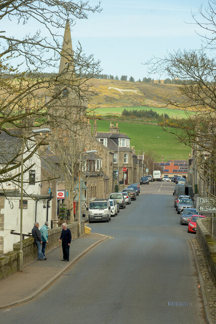
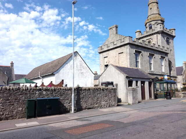
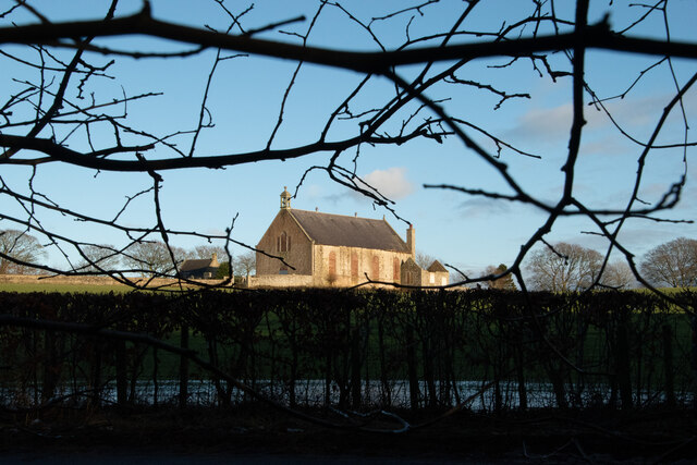
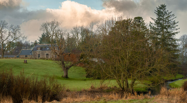
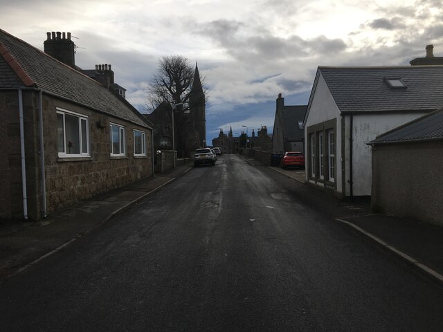
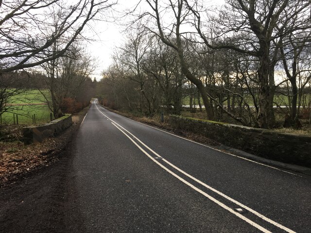
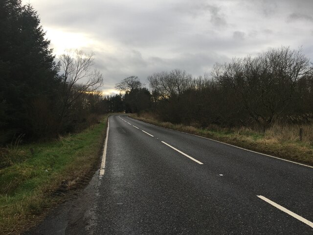
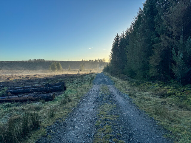
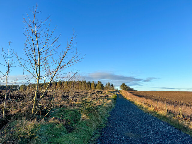
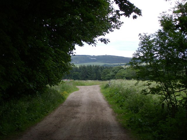
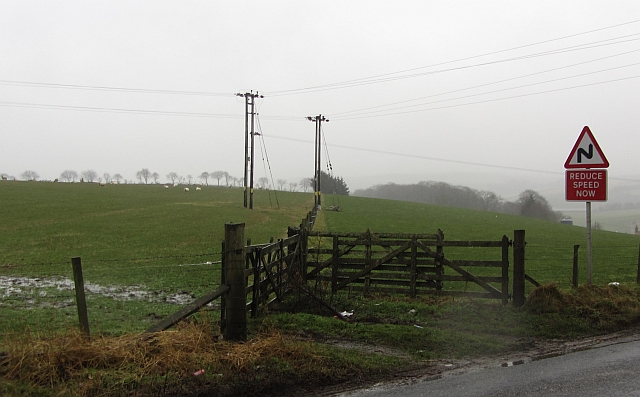
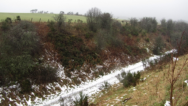
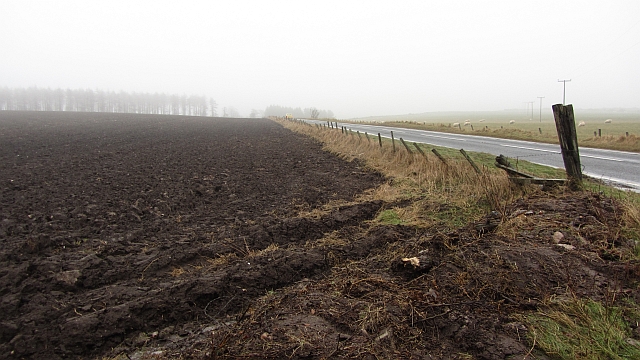
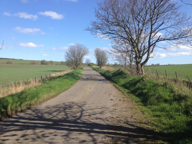
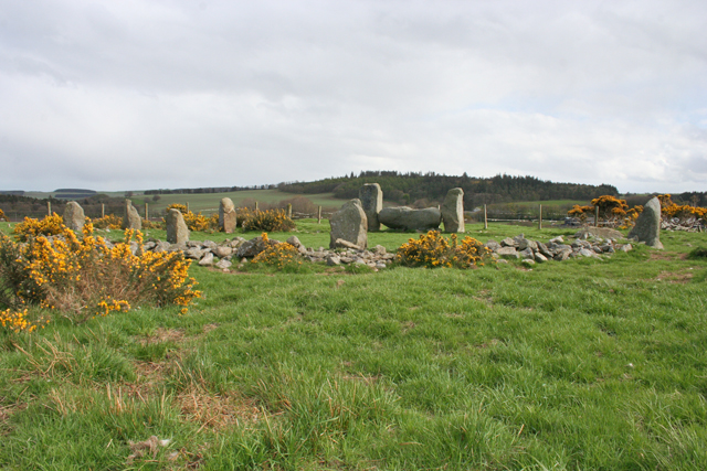
Adziel Wood Images

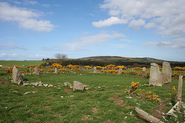
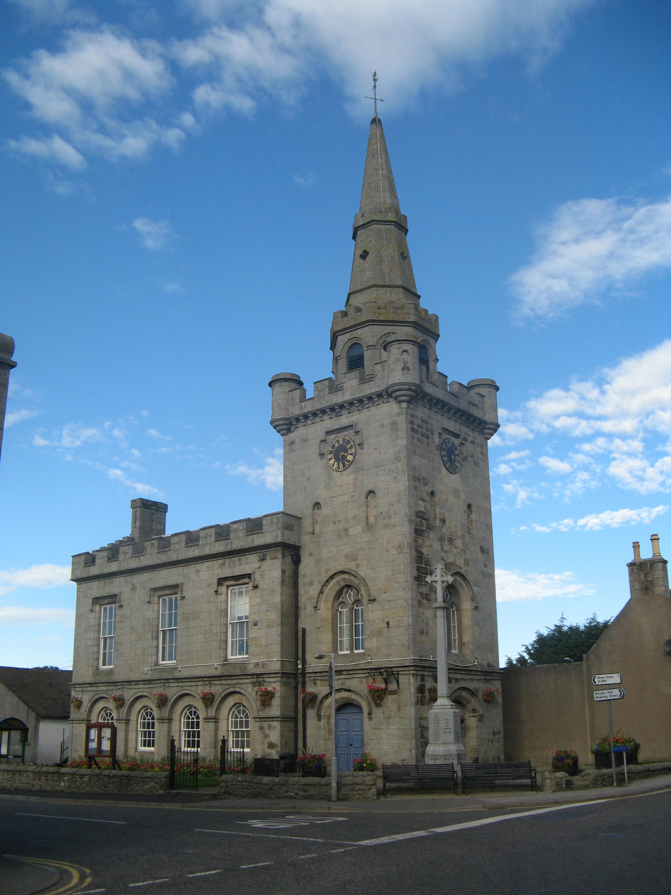
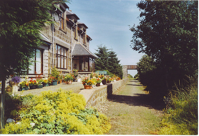
Images are sourced within 2km of 57.57164/-2.0975696 or Grid Reference NJ9453. Thanks to Geograph Open Source API. All images are credited.

Lest We Forget - Strichen The Strichen memorial out side the town hall.
Lest We Forget - Strichen
The Strichen memorial out side the town hall.
Bridge Street Strichen A view from the Community park up bridge street towards the White Horse of Mormond Hill
Bridge Street Strichen
A view from the Community park up bridge street towards the White Horse of Mormond Hill
Strichen telephone exchange Strichen telephone exchange is located in the centre of the village, hidden behind a wall.
Strichen telephone exchange
Strichen telephone exchange is located in the centre of the village, hidden behind a wall.
Church and graveyard for Strichen Village
Mill Farm
Mill Farm
B9093 in Strichen
B9093 in Strichen
A981 south of Strichen
A981 towards New Deer
White Cow Woods paths
White Cow woods paths
White Cow Woods paths
White Horse on Mormond Hill fae Strichen Mains
Fields above Strichen As usual in these parts, field boundaries are barbed wire fences. The road sign warns of the steep descent and bends required to get under the Formartine and Buchan Railway, now a path.
Fields above Strichen
As usual in these parts, field boundaries are barbed wire fences. The road sign warns of the steep descent and bends required to get under the Formartine and Buchan Railway, now a path.
Formartine and Buchan Railway Snow lingers in a deep cutting on the Fraserburgh Branch east of Strichen. The railway closed to passengers in 1965 but the line to Fraserburgh hung on as a freight service until 1979 due mainly to the oil industry. It is now a footpath and cycle path.
Formartine and Buchan Railway
Snow lingers in a deep cutting on the Fraserburgh Branch east of Strichen. The railway closed to passengers in 1965 but the line to Fraserburgh hung on as a freight service until 1979 due mainly to the oil industry. It is now a footpath and cycle path.
Ploughed  field  south of Strichen A dull day with fog formed by warm damp air encountering thawing snow.
Ploughed field south of Strichen
A dull day with fog formed by warm damp air encountering thawing snow.
Minor road near Viewbank
Strichen House Recumbent Stone Circle (1) This circle is a reconstruction. After a tenant farmer cleared it in 1830, the furious landlord made him rebuild it, but it was rebuilt in slightly the wrong place. This was completely removed in 1960. In 1979-1982 an archaeological investigation was undertaken, during which the correct positions of the stones were determined, and the circle was rebuilt on that basis. There are, however, some remaining anomalies in the alignment of some of the stones. See <span class="nowrap"><a title="http://canmore.rcahms.gov.uk/en/site/20754/details/strichen+house/" rel="nofollow ugc noopener" href="http://canmore.rcahms.gov.uk/en/site/20754/details/strichen+house/">Link</a><img style="margin-left:2px;" alt="External link" title="External link - shift click to open in new window" src="https://s1.geograph.org.uk/img/external.png" width="10" height="10"/></span> for more information. <a href="https://www.geograph.org.uk/photo/4468608">NJ9354 : Strichen House Recumbent Stone Circle (2)</a>
Strichen House Recumbent Stone Circle (1)
This circle is a reconstruction. After a tenant farmer cleared it in 1830, the furious landlord made him rebuild it, but it was rebuilt in slightly the wrong place. This was completely removed in 1960. In 1979-1982 an archaeological investigation was undertaken, during which the correct positions of the stones were determined, and the circle was rebuilt on that basis. There are, however, some remaining anomalies in the alignment of some of the stones. See LinkExternal link for more information. NJ9354 : Strichen House Recumbent Stone Circle (2)
Strichen House Recumbent Stone Circle (2) The circle from the corner of its fenced enclosure, with the recumbent and flankers to the right. The closest stone has fallen since the 1982 reconstruction. See <span class="nowrap"><a title="http://canmore.rcahms.gov.uk/en/site/20754/details/strichen+house/" rel="nofollow ugc noopener" href="http://canmore.rcahms.gov.uk/en/site/20754/details/strichen+house/">Link</a><img style="margin-left:2px;" alt="External link" title="External link - shift click to open in new window" src="https://s1.geograph.org.uk/img/external.png" width="10" height="10"/></span> for more information. <a href="https://www.geograph.org.uk/photo/4468630">NJ9354 : Strichen House Recumbent Stone Circle (3)</a>
Strichen House Recumbent Stone Circle (2)
The circle from the corner of its fenced enclosure, with the recumbent and flankers to the right. The closest stone has fallen since the 1982 reconstruction. See LinkExternal link for more information. NJ9354 : Strichen House Recumbent Stone Circle (3)
Show me another place!

Adziel Wood is located at Grid Ref: NJ9453 (Lat: 57.57164, Lng: -2.0975696)

Unitary Authority: Aberdeenshire

Police Authority: North East

What 3 Words

///corrosive.seat.toasted. Near New Pitsligo, Aberdeenshire

Nearby Locations

Adziel Wood

Related Wikis

Nearby Amenities

Located within 500m of 57.57164,-2.0975696
Power: pole
Lat/Long: 57.5677902/-2.0935339
Power: pole
Lat/Long: 57.5681685/-2.0926166
Power: pole
Lat/Long: 57.5685648/-2.0916885
Power: pole
Lat/Long: 57.56911/-2.0909067
Power: pole
Lat/Long: 57.5696544/-2.0900846
Power: pole
Lat/Long: 57.574815/-2.1034309
Power: pole
Lat/Long: 57.574411/-2.1037691
Power: pole
Lat/Long: 57.5739846/-2.1041232
Power: pole
Lat/Long: 57.5735943/-2.1044436
Power: pole
Lat/Long: 57.5747016/-2.102531
The data included in this document is from www.openstreetmap.org. The data is made available under ODbL.

Have you been to Adziel Wood?

Leave your review of Adziel Wood below (or comments, questions and feedback).