Charlton
Settlement in Somerset Mendip
England
Charlton
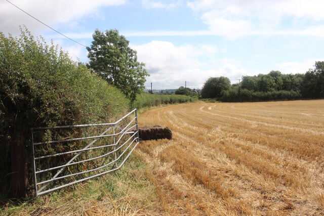
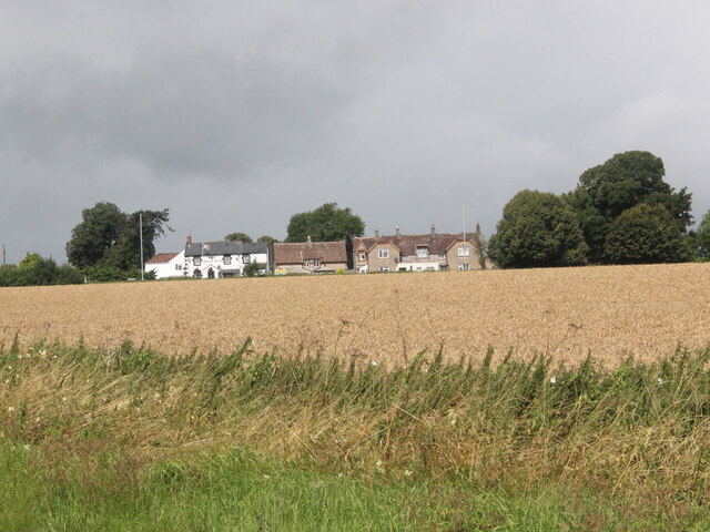
Charlton is a small village located in the county of Somerset, England. Situated in the South West of the country, it lies approximately 10 miles south of the city of Bath and 12 miles west of the town of Frome. The village is set amidst the picturesque countryside, surrounded by rolling hills and fields, offering residents and visitors a tranquil and scenic setting.
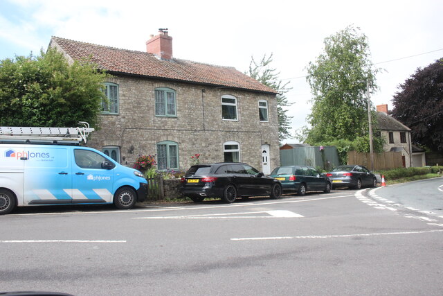
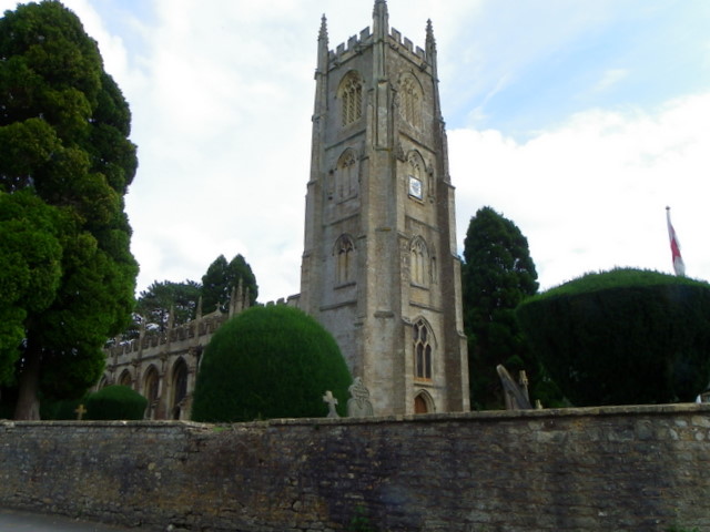
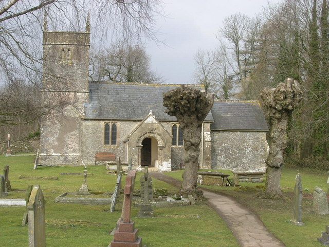
With a population of around 800 people, Charlton retains a close-knit community feel. The village is characterized by traditional stone houses and cottages, giving it a quintessentially English charm. The local church, St. Mary's, stands as a prominent landmark, dating back to the 12th century and showcasing architectural features from various periods.
Charlton boasts a range of amenities, including a village hall, a primary school, and a pub. The local pub, The Charlton Inn, serves as a popular meeting place for residents and visitors alike, offering a warm and welcoming atmosphere along with a selection of food and beverages.
The village is surrounded by beautiful countryside, making it an ideal destination for outdoor enthusiasts. There are several walking and cycling routes in the vicinity, allowing visitors to explore the scenic surroundings. Additionally, Charlton is within close proximity to the Mendip Hills Area of Outstanding Natural Beauty, providing further opportunities for outdoor activities and exploration.
Overall, Charlton offers a peaceful and idyllic living environment, with its charming village setting and access to stunning countryside.
If you have any feedback on the listing, please let us know in the comments section below.
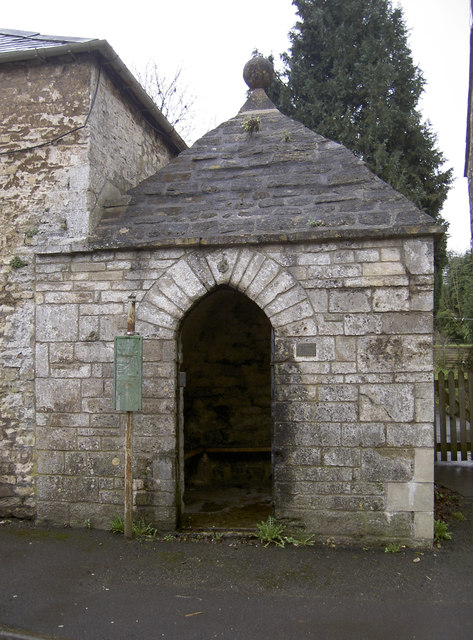
Charlton Images
Images are sourced within 2km of 51.269539/-2.455943 or Grid Reference ST6852. Thanks to Geograph Open Source API. All images are credited.


Charlton is located at Grid Ref: ST6852 (Lat: 51.269539, Lng: -2.455943)
Administrative County: Somerset
District: Mendip
Police Authority: Avon and Somerset
What 3 Words
///tightrope.rainy.dusty. Near Radstock, Somerset
Nearby Locations
Related Wikis

Kilmersdon
Kilmersdon is a village and civil parish on the north eastern slopes of the Mendip Hills in Somerset between the towns of Radstock and Frome. It is located...

F. Pratten and Co Ltd
F. Pratten and Co Ltd, commonly known as Prattens, was a business located in Midsomer Norton that manufactured prefabricated buildings. Production included...

Haydon, Somerset
Haydon is a village lying between Radstock and Kilmersdon in Somerset, England. It is 1 mile (1.6 km) south-west of Radstock and 1.5 miles (2.4 km) north...

Kilmersdon Road Quarry
Kilmersdon Road Quarry (grid reference ST689542) is a 0.43 hectare geological Site of Special Scientific Interest between the village of Haydon and the...
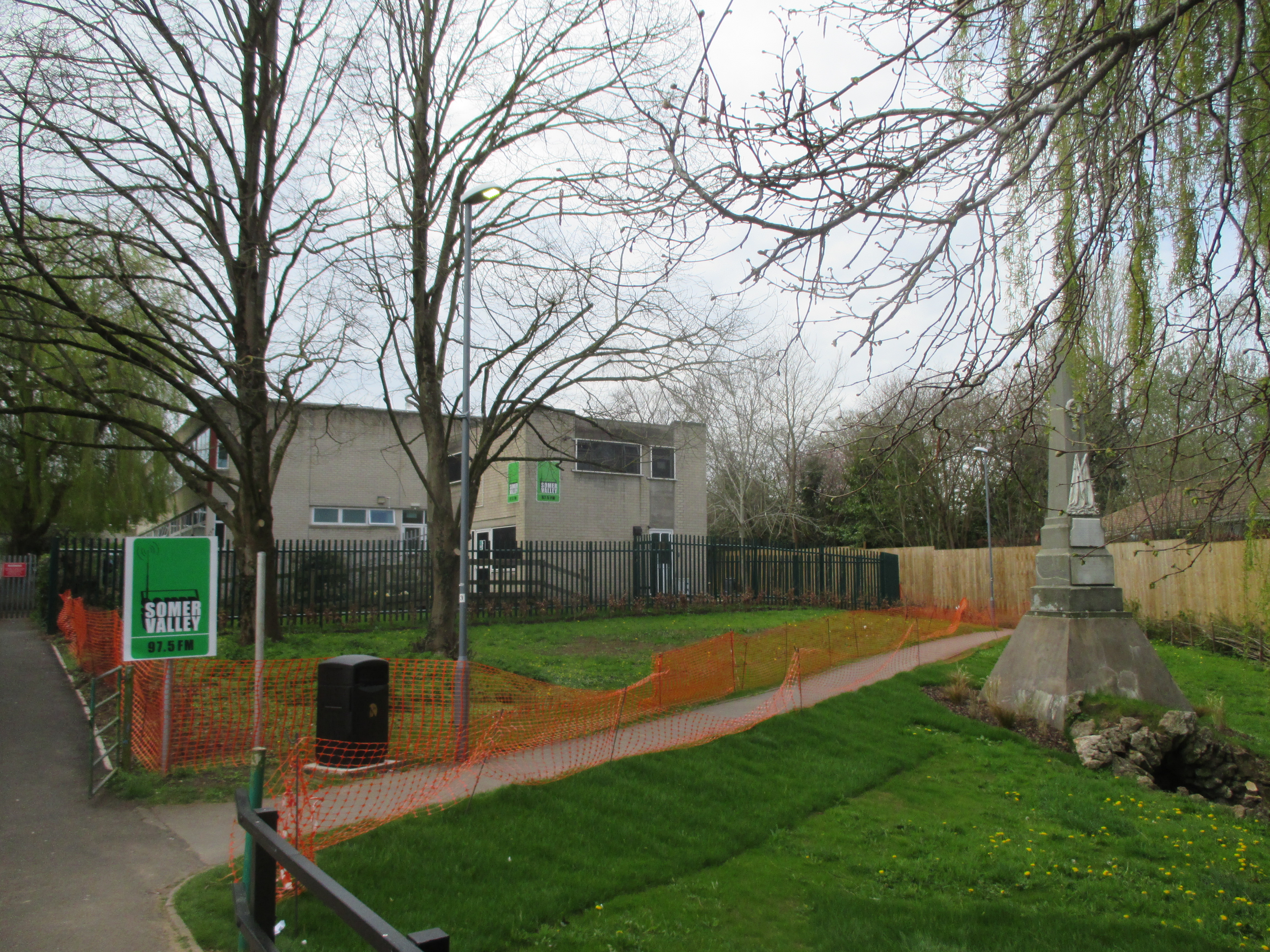
Somer Valley FM
Somer Valley FM is a local community radio station in North East Somerset that serves Midsomer Norton, Radstock, Westfield and surrounding areas. It was...
Church of St Andrew, Holcombe
The Church of St. Andrew close to Downside Abbey in Holcombe, Somerset, England has late Saxon-early Norman origins and was rebuilt in the 16th century...

Huish Colliery Quarry
Huish Colliery Quarry (grid reference ST695542) is a 0.8 hectare geological Site of Special Scientific Interest near the town of Radstock, Bath and North...
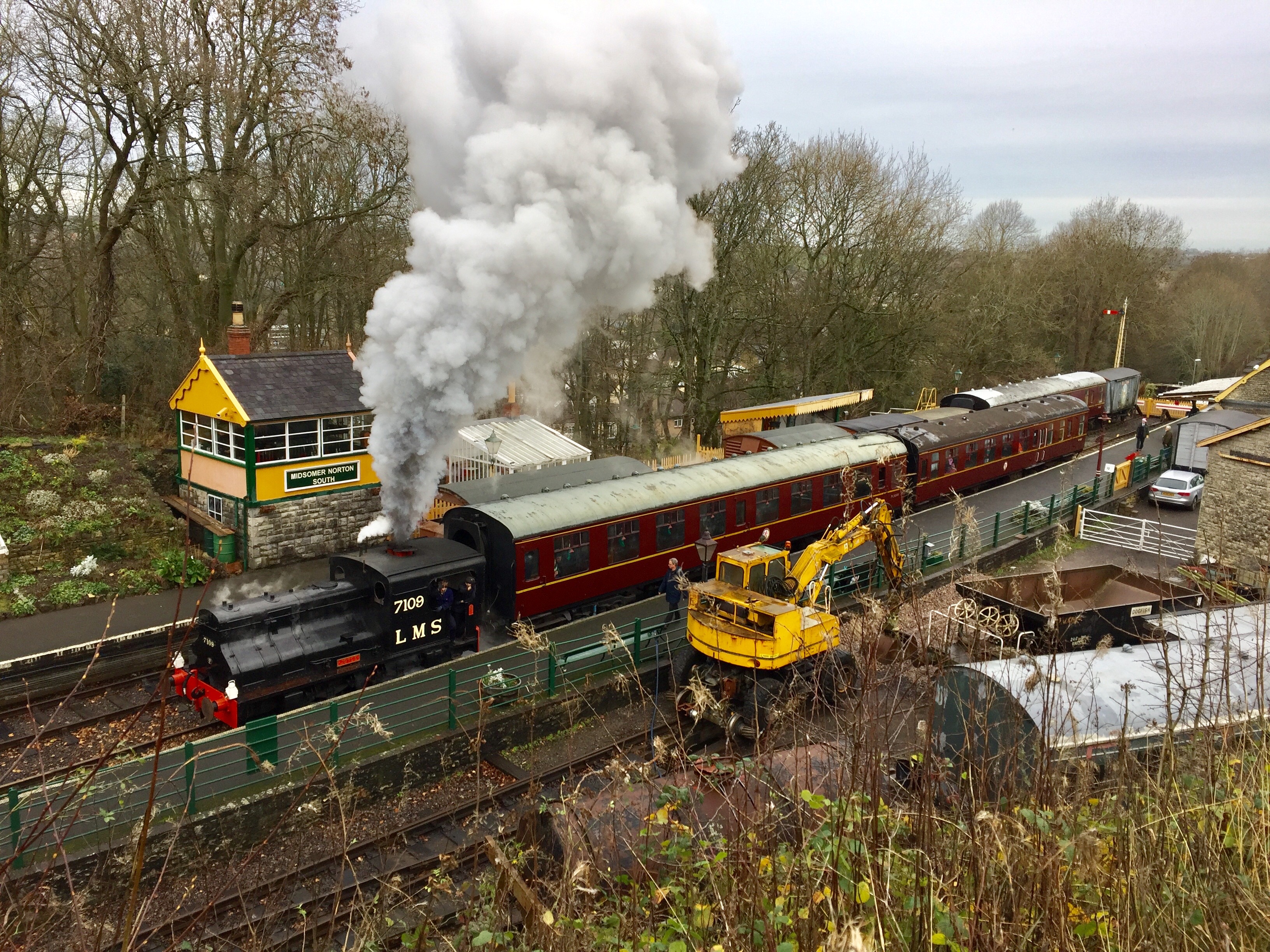
Somerset & Dorset Railway Heritage Trust
The Somerset & Dorset Railway Heritage Trust (S&DRHT) is a heritage railway line in Somerset, England, that runs on a restored section of the Somerset...
Nearby Amenities
Located within 500m of 51.269539,-2.455943Have you been to Charlton?
Leave your review of Charlton below (or comments, questions and feedback).