Charlton
Settlement in Somerset Mendip
England
Charlton

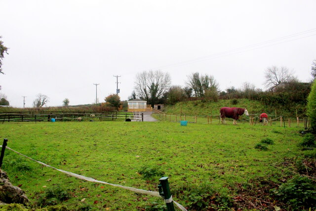
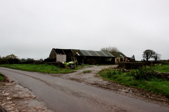
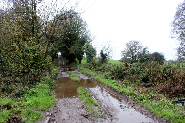
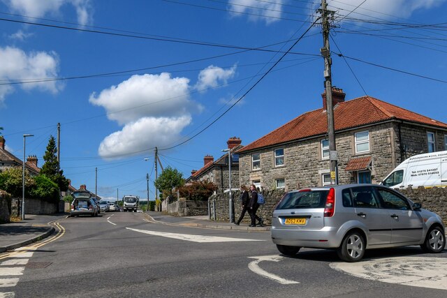
Charlton is a small village located in the county of Somerset, in southwestern England. Situated approximately 4 miles east of Shepton Mallet, it is nestled within the picturesque Mendip Hills. The village is surrounded by rolling countryside and offers stunning views of the Somerset Levels to the south.
With a population of around 500 residents, Charlton is a close-knit community that exudes a charming and peaceful atmosphere. The village is characterized by traditional stone cottages, some dating back to the 17th century, which add to its historic appeal. The local parish church, St. John the Baptist, is a notable landmark and dates back to the 13th century.
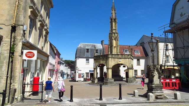
Despite its small size, Charlton boasts a range of amenities for its residents. The village has a primary school, a village hall, and a local pub, providing a hub for social gatherings. Additionally, it offers convenient access to nearby towns, including Shepton Mallet and Wells, where residents can find a wider range of services and amenities.
The countryside surrounding Charlton is ideal for outdoor enthusiasts, with an array of walking and cycling routes to explore. The village is also within close proximity to popular attractions such as the historic city of Bath, the iconic Glastonbury Tor, and the mystical Cheddar Gorge.
Overall, Charlton offers a tranquil and idyllic setting, making it a desirable location for those seeking a peaceful village lifestyle amidst the natural beauty of Somerset.
If you have any feedback on the listing, please let us know in the comments section below.
Charlton Images
Images are sourced within 2km of 51.185612/-2.527371 or Grid Reference ST6343. Thanks to Geograph Open Source API. All images are credited.


Charlton is located at Grid Ref: ST6343 (Lat: 51.185612, Lng: -2.527371)
Administrative County: Somerset
District: Mendip
Police Authority: Avon and Somerset
What 3 Words
///gossiping.delivers.departure. Near Shepton Mallet, Somerset
Related Wikis
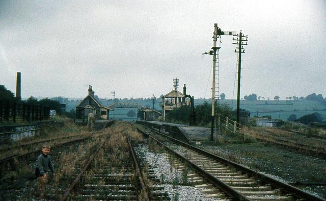
Shepton Mallet (Charlton Road) railway station
Shepton Mallet (Charlton Road) was a station on the Somerset and Dorset Joint Railway in the county of Somerset in England. Opened as Shepton Mallet on...
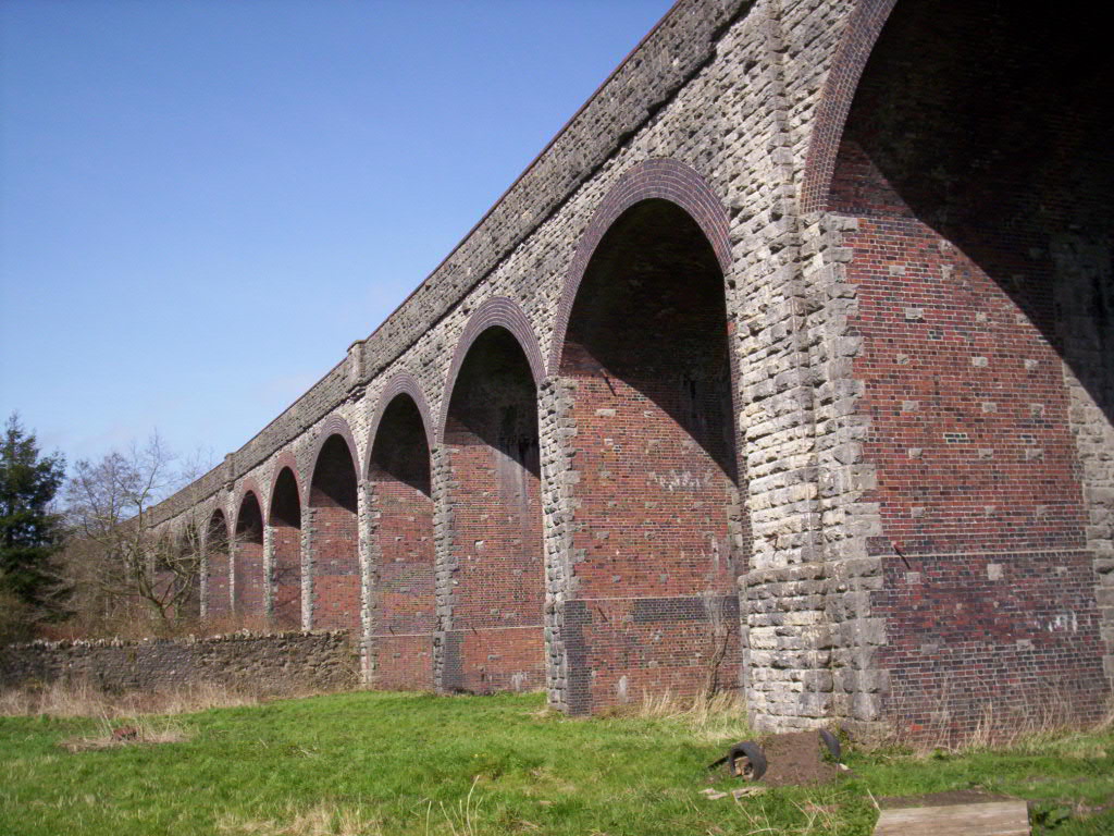
Charlton Viaduct
Charlton Viaduct is a disused railway bridge in Shepton Mallet within the English county of Somerset. It is a Grade II* listed building. The bridge was...

Mendip Vale railway station
Mendip Vale is the western terminus of the East Somerset Railway. == Services == All trains terminate at Mendip Vale, with a 5-10 minute wait while the...
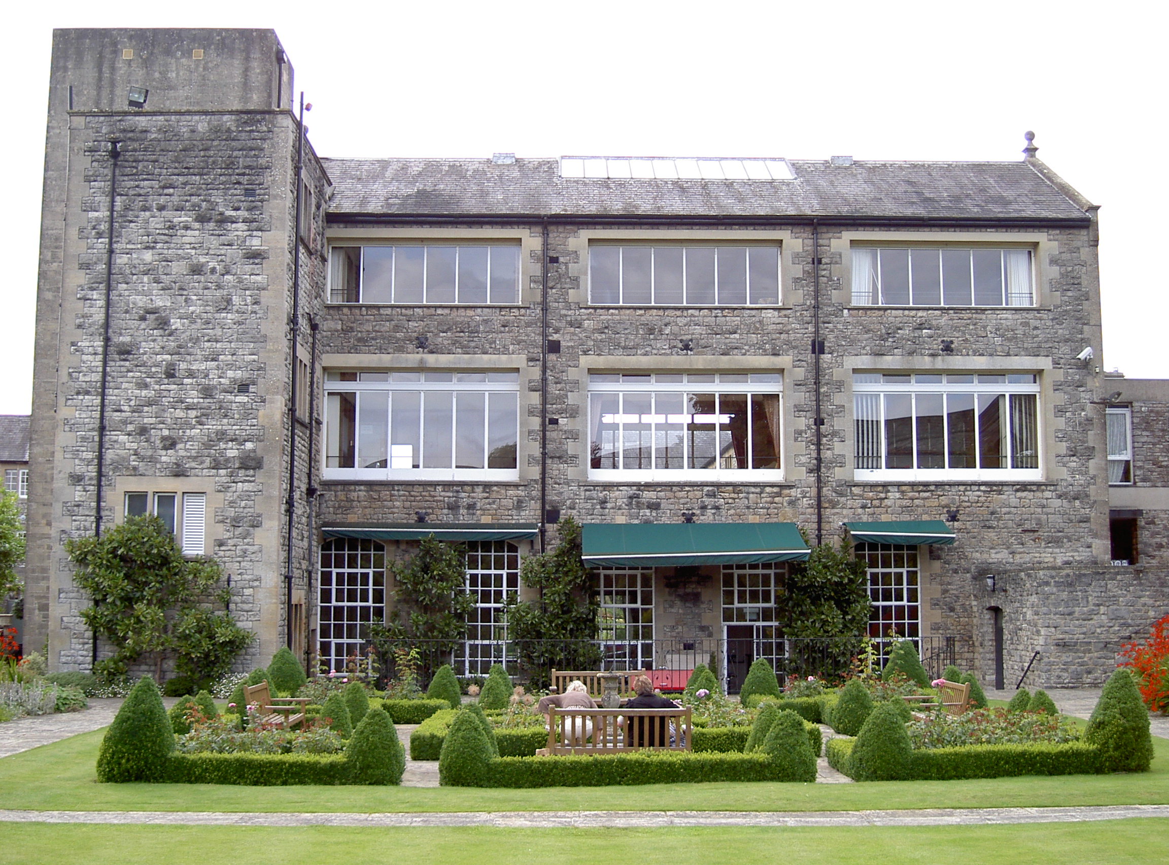
Kilver Court
Kilver Court is a historic house and gardens in Shepton Mallet in the English county of Somerset. The River Sheppey powered textile mills and it later...
Nearby Amenities
Located within 500m of 51.185612,-2.527371Have you been to Charlton?
Leave your review of Charlton below (or comments, questions and feedback).