Highland Wood
Wood, Forest in Aberdeenshire
Scotland
Highland Wood
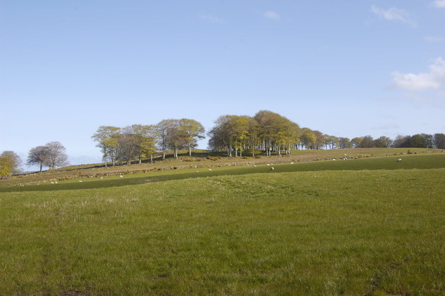
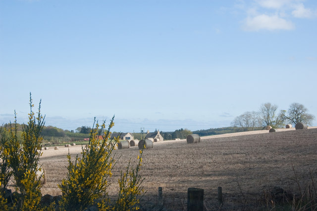
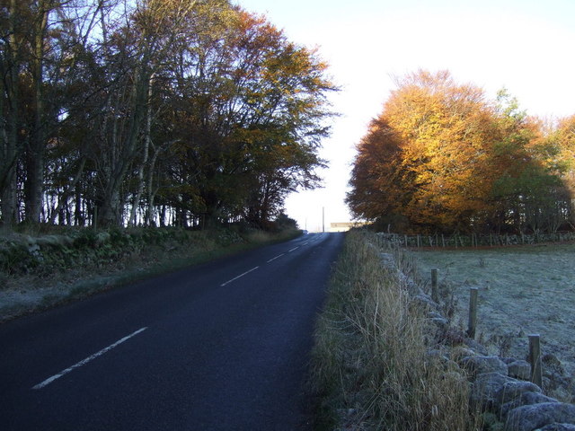
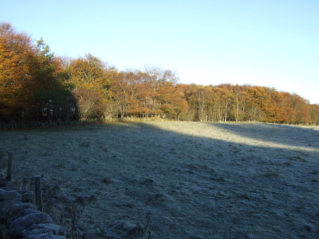
Highland Wood is a picturesque forest located in Aberdeenshire, Scotland. Stretching across an area of approximately 500 acres, this enchanting woodland is a haven for nature enthusiasts and those seeking tranquility amidst breathtaking scenery.
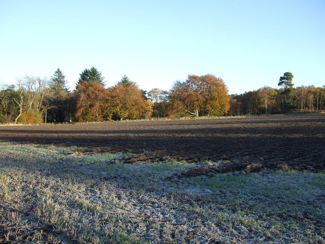
The wood is home to a diverse range of flora and fauna, with towering pine and fir trees dominating the landscape. These majestic trees create a dense canopy that filters sunlight, casting a magical glow over the forest floor. Moss-covered rocks and fallen logs provide a habitat for a variety of woodland creatures, including red squirrels, roe deer, and a plethora of bird species.
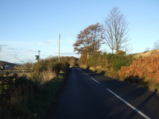
The wood is crisscrossed by a network of well-maintained trails, allowing visitors to explore its hidden gems. These paths wind their way through peaceful glades, alongside babbling brooks, and up gentle slopes, providing opportunities for hikers of all levels to immerse themselves in the beauty of the surroundings.
One of the highlights of Highland Wood is its stunning waterfall, which cascades down a rocky ledge into a crystal-clear pool below. The sound of rushing water creates a soothing ambiance and offers a perfect spot for photographers to capture nature's beauty.
Whether it's a leisurely stroll, a vigorous hike, or a peaceful picnic, Highland Wood caters to all outdoor enthusiasts. The forest is a popular destination year-round, as each season brings its own unique charm. In spring, the woodland floor is carpeted with vibrant wildflowers, while autumn transforms the trees into a kaleidoscope of fiery hues.
Highland Wood truly offers a sanctuary where visitors can reconnect with nature and experience the tranquility and beauty of Aberdeenshire's wilderness.
If you have any feedback on the listing, please let us know in the comments section below.
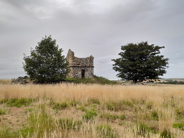
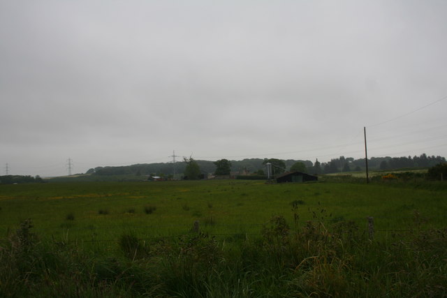
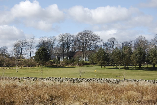
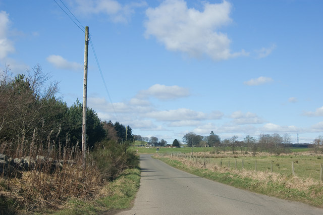
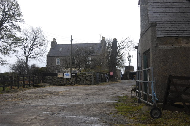
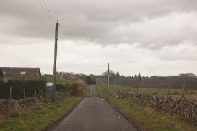
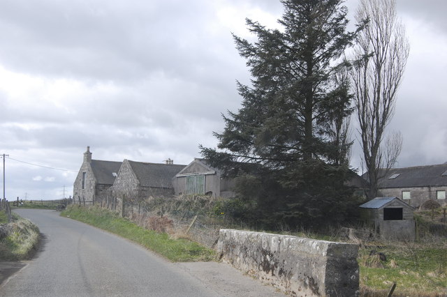
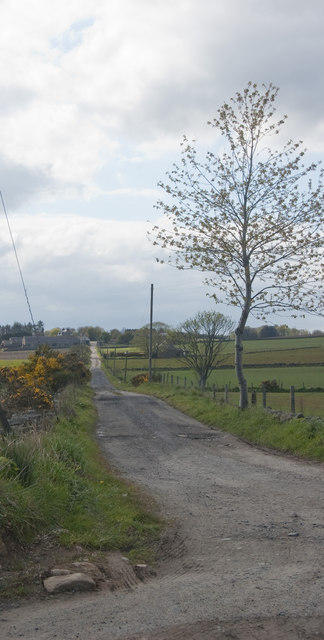
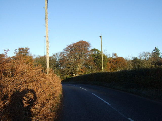
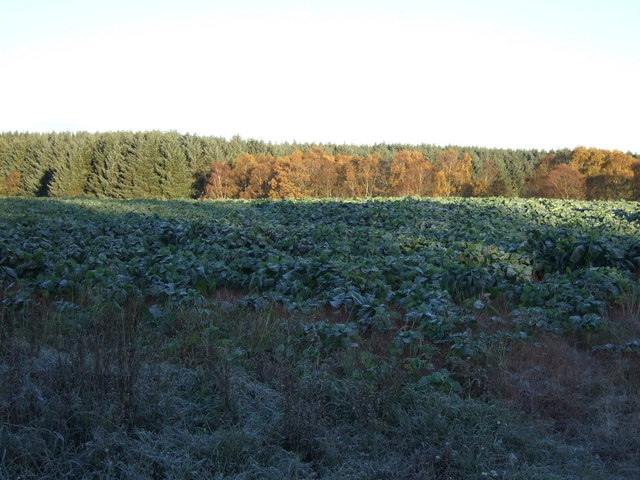
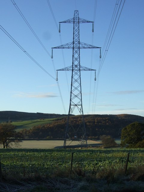
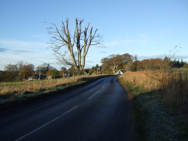
Highland Wood Images
Images are sourced within 2km of 57.250719/-2.2230013 or Grid Reference NJ8617. Thanks to Geograph Open Source API. All images are credited.
Highland Wood is located at Grid Ref: NJ8617 (Lat: 57.250719, Lng: -2.2230013)
Unitary Authority: Aberdeenshire
Police Authority: North East
What 3 Words
///clan.tactical.thickens. Near Newmacher, Aberdeenshire
Nearby Locations
Related Wikis

Fintray Hillclimb
Fintray House Hillclimb is a speed motorsport event held near Hatton of Fintray, in Aberdeenshire, Scotland. Each event is a separate round of the Scottish...

Cairnton stone
The Cairnton Stone is a class I Pictish stone that was discovered at Cairnton, near Newmachar, Aberdeenshire, Scotland in 2001. The stone bears the incised...

Dyce stones
The Dyce stones are a collection of Pictish and Early Medieval sculptured stones that are housed in a shelter in the ruined St Fergus's Chapel, Dyce, Aberdeen...
Newmachar United F.C.
Newmachar United Junior Football Club are a Scottish football club from the village of Newmachar, Aberdeenshire. They became members of the Scottish Junior...

Newmachar
Newmachar is a village in Aberdeenshire, Scotland, about 10 miles (16 km) to the north-west of Aberdeen. The settlement has a long history previously being...

Pitmedden railway station
Pitmedden railway station was a railway station near Pitmedden House in Dyce, Aberdeen. == Previous services == == References == === Notes === === Sources... ===

Hatton of Fintray
Hatton of Fintray, commonly referred to as Fintray, is a village on the River Don in Aberdeenshire, Scotland, in the parish of Fintray. It was a textile...

Newmachar railway station
Newmachar railway station was a railway station in Newmachar, Aberdeenshire which is now closed. == History == The station was opened on 18 July 1861 by...
Nearby Amenities
Located within 500m of 57.250719,-2.2230013Have you been to Highland Wood?
Leave your review of Highland Wood below (or comments, questions and feedback).