Berry Brae

Wood, Forest in Kincardineshire

Scotland

Berry Brae

Pastureland
Pastureland Credit: N Chadwick

Berry Brae is a picturesque woodland located in Kincardineshire, Scotland. Covering an area of approximately 50 acres, it is nestled within the stunning natural landscape of the region. The brae, a Scottish term for a small hill, is named after the abundance of wild berries that grow in the area.

The woodland is predominantly composed of native broadleaf species, such as oak, beech, birch, and rowan trees. These trees create a dense canopy that provides a habitat for a diverse range of flora and fauna. The forest floor is carpeted with ferns, mosses, and wildflowers, adding to the overall beauty of the woodland.

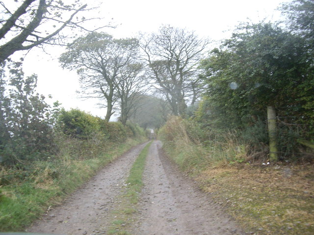
Berry Brae boasts a network of well-maintained walking trails, allowing visitors to explore the woodland at their own pace. These trails wind through the forest, offering breathtaking views of the surrounding countryside and glimpses of wildlife. Birdwatchers will delight in the variety of avian species that inhabit the area, including woodpeckers, tits, and thrushes.

The woodland is also home to a small stream that meanders through the trees, creating a peaceful and serene atmosphere. The sound of running water adds to the tranquility of the surroundings, making it a popular spot for nature enthusiasts and those seeking a quiet retreat.

Berry Brae is a haven for outdoor activities, including hiking, picnicking, and nature photography. Whether it's enjoying a leisurely stroll through the forest or immersing oneself in the beauty of the natural surroundings, Berry Brae offers a truly enchanting experience for visitors of all ages.

If you have any feedback on the listing, please let us know in the comments section below.
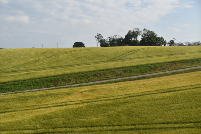
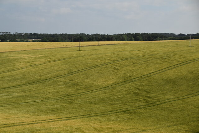
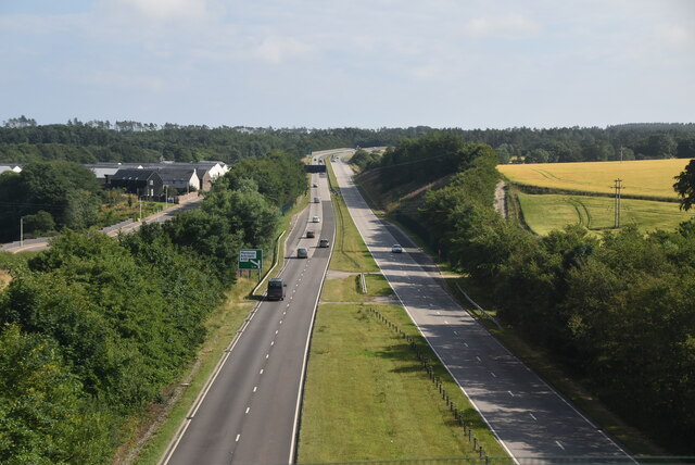
Berry Brae Images

Images are sourced within 2km of 56.953727/-2.2652181 or Grid Reference NO8384. Thanks to Geograph Open Source API. All images are credited.

Pastureland
Pastureland
Pasture and rough pasture
Mallie's Den Wood
Mallie's Den Wood
Toucks Rd
Toucks Rd
Farmland on the edge of Stonehaven
A90, Stonehaven bypass The A90 road is a major north to south highway in eastern Scotland, starting in Edinburgh and running for 146 miles up the majority of the east coast to end in Fraserburgh (although immediately north of the Forth it has been replaced by the similarly numbered M90).
A90, Stonehaven bypass
The A90 road is a major north to south highway in eastern Scotland, starting in Edinburgh and running for 146 miles up the majority of the east coast to end in Fraserburgh (although immediately north of the Forth it has been replaced by the similarly numbered M90).
Dual Carriageway/Minor road junction Where a narrow country road meets the A90 near Lampool just south of Stonehaven.
Dual Carriageway/Minor road junction
Where a narrow country road meets the A90 near Lampool just south of Stonehaven.
A lane to Fetteresso Castle But 'No Access' says the sign by North Lodge!
A lane to Fetteresso Castle
But 'No Access' says the sign by North Lodge!
Lane to North Lodge, Fetteresso
Gas Monitor enclosure Near North Lodge, Fetteresso Castle.
Gas Monitor enclosure
Near North Lodge, Fetteresso Castle.
Blairs of Fetteresso
Beehive Dovecot  (doocot) In the grounds of Fetteresso Castle, it is believed to have been constructed in the 16th century.  The flat stones around the outside of the structure were there to stop vermin scaling the walls and stealing the birds or their eggs.  The doocot was a dual purpose structure, providing both food in the form of meat & eggs, and dung from the pigeon droppings, which was used as fertiliser in the castle gardens.
Beehive Dovecot (doocot)
In the grounds of Fetteresso Castle, it is believed to have been constructed in the 16th century. The flat stones around the outside of the structure were there to stop vermin scaling the walls and stealing the birds or their eggs. The doocot was a dual purpose structure, providing both food in the form of meat & eggs, and dung from the pigeon droppings, which was used as fertiliser in the castle gardens.
Footbridge This footbridge would have originally been over an ornamental pond (now drained) in the grounds of Fetteresso Castle.  The bridge also stretches across the Carron River which is to the left of this shot.  Fetteresso Castle can also be seen in the photo.
Footbridge
This footbridge would have originally been over an ornamental pond (now drained) in the grounds of Fetteresso Castle. The bridge also stretches across the Carron River which is to the left of this shot. Fetteresso Castle can also be seen in the photo.
Cattle in a field at Glasslaw, near Stonehaven
Upper Criggie, near Stonehaven Fields in the foreground, the farm just on the edge of the square and one of the new aerogenerators lurking in the background.
Upper Criggie, near Stonehaven
Fields in the foreground, the farm just on the edge of the square and one of the new aerogenerators lurking in the background.
Birds in a silage field, Hill of Glasslaw, near Stonehaven
Road junction on Forest Drive, Stonehaven
Railway bridge, Stonehaven Carries the East Coast Main Line.
Railway bridge, Stonehaven
Carries the East Coast Main Line.
Show me another place!

Berry Brae is located at Grid Ref: NO8384 (Lat: 56.953727, Lng: -2.2652181)

Unitary Authority: Aberdeenshire

Police Authority: North East

What 3 Words

///visual.whirlwind.juggles. Near Stonehaven, Aberdeenshire

Related Wikis

Nearby Amenities

Located within 500m of 56.953727,-2.2652181
Power: pole
Lat/Long: 56.9498782/-2.2683095
Power: pole
Lat/Long: 56.9498951/-2.2672138
Power: pole
Lat/Long: 56.9500693/-2.265914
Power: pole
Lat/Long: 56.9502459/-2.2646963
Power: pole
Lat/Long: 56.950437/-2.2634299
Power: pole
Lat/Long: 56.9506245/-2.2621434
Power: pole
Lat/Long: 56.9508096/-2.2608947
Power: pole
Lat/Long: 56.9509898/-2.2596282
The data included in this document is from www.openstreetmap.org. The data is made available under ODbL.

Have you been to Berry Brae?

Leave your review of Berry Brae below (or comments, questions and feedback).