Craigies Wood
Wood, Forest in Kincardineshire
Scotland
Craigies Wood

Craigies Wood is a picturesque woodland located in Kincardineshire, Scotland. Spanning an area of approximately 66 acres, it is nestled in the stunning countryside, offering a tranquil escape for nature enthusiasts and hikers alike.
The wood boasts a diverse range of tree species, including oak, birch, beech, and pine, creating a rich and vibrant ecosystem. This variety of flora provides a habitat for numerous wildlife species, making it an ideal spot for birdwatching and wildlife spotting. Visitors may have the chance to spot red squirrels, roe deer, and a wide array of bird species, including woodpeckers and owls.
Visiting Craigies Wood offers a delightful experience for outdoor enthusiasts, with a network of well-maintained trails winding through the woodland. The paths cater to different levels of fitness and offer scenic viewpoints, allowing visitors to immerse themselves in the natural beauty of the area. The wood also features picnic areas, making it a perfect spot for a leisurely lunch amidst the serene surroundings.
Managed by the Woodland Trust, Craigies Wood is not only a haven for nature lovers but also serves as an important conservation site. The Trust works diligently to protect and preserve the woodland, ensuring its continued beauty for future generations to enjoy.
Overall, Craigies Wood in Kincardineshire is a delightful woodland retreat, offering a peaceful and immersive experience in the heart of Scotland's countryside. Its diverse ecosystem, picturesque trails, and commitment to conservation make it a must-visit destination for nature enthusiasts and those seeking a respite from the hustle and bustle of everyday life.
If you have any feedback on the listing, please let us know in the comments section below.
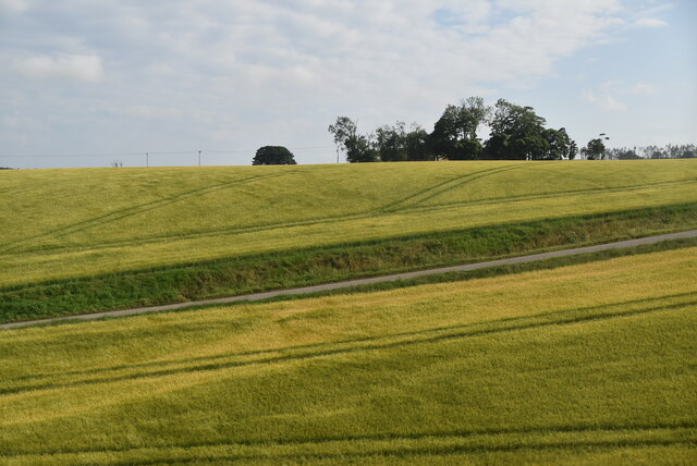
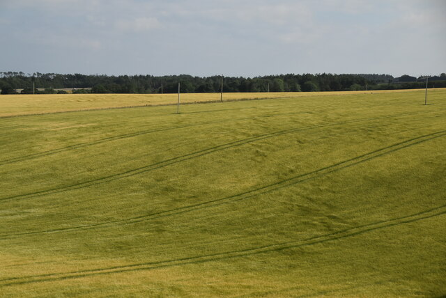
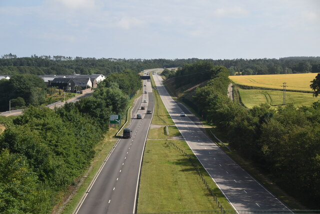
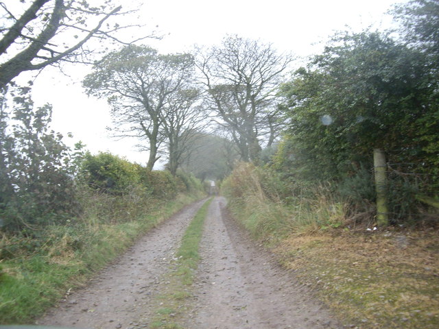
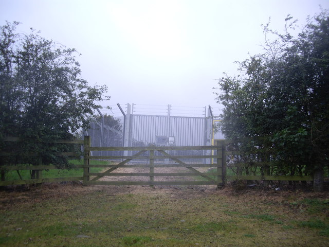
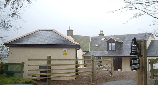
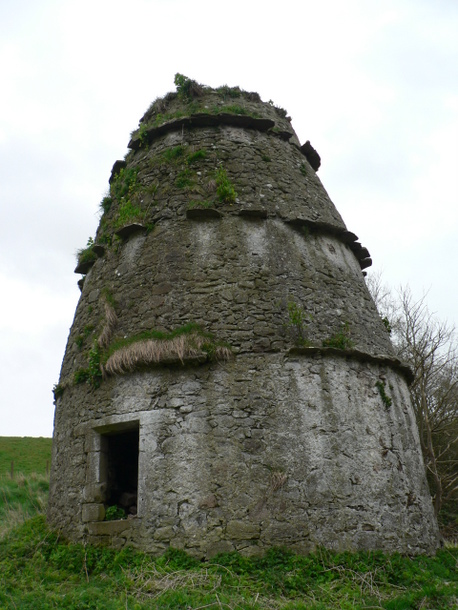
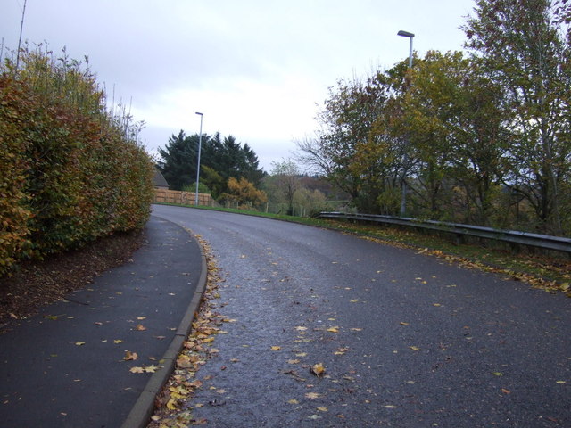
Craigies Wood Images
Images are sourced within 2km of 56.958855/-2.2659122 or Grid Reference NO8385. Thanks to Geograph Open Source API. All images are credited.


Craigies Wood is located at Grid Ref: NO8385 (Lat: 56.958855, Lng: -2.2659122)
Unitary Authority: Aberdeenshire
Police Authority: North East
What 3 Words
///chopper.shallower.darkens. Near Stonehaven, Aberdeenshire
Nearby Locations
Related Wikis
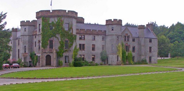
Fetteresso Castle
Fetteresso Castle is a 14th-century tower house, rebuilt in 1761 as a Scottish Gothic style Palladian manor, with clear evidence of prehistoric use of...

Tewel
Tewel is a hamlet located approximately two miles west of Stonehaven, Kincardineshire on the Auchenblae Road in Northeast Scotland. It consists of: Tewel...

Kirktown of Fetteresso
The Kirktown of Fetteresso is a well-preserved village near Stonehaven, Scotland. In the planning area of Kincardine and Mearns, Aberdeenshire, this village...

Red Cloak
Red Cloak is an industrial area of Stonehaven, Aberdeenshire, Scotland. The site's settlement history is associated with events at the nearby Chapel of...

Dunnottar Parish Church
Dunnottar Parish Church is a parish church of the Church of Scotland, serving Stonehaven in the south of Aberdeenshire, Scotland. It is within the Church...

Kincardine Community Hospital
Kincardine Community Hospital is a small hospital at Kirkton Road, Stonehaven, Aberdeenshire, Scotland. It is managed by NHS Grampian. == History == The...

Stonehaven railway station
Stonehaven railway station serves the town of Stonehaven in Aberdeenshire, Scotland, United Kingdom. It is sited 224 miles 74 chains (362.0 kilometres...
Woodcot Hospital
Woodcot Hospital was a health facility in Woodcot Brae, Stonehaven, Scotland. It is a Category B listed building. == History == The hospital had its origins...
Nearby Amenities
Located within 500m of 56.958855,-2.2659122Have you been to Craigies Wood?
Leave your review of Craigies Wood below (or comments, questions and feedback).