Bogriffie Wood

Wood, Forest in Aberdeenshire

Scotland

Bogriffie Wood

Farburn Farm A small farm between Hatton of Fintray and Newmachar.
Farburn Farm Credit: Andrew Wood

Bogriffie Wood is a picturesque woodland located in Aberdeenshire, Scotland. Situated in the northeast region of the country, this woodland covers an area of approximately 150 hectares. It is a popular destination for nature enthusiasts and hikers due to its stunning natural beauty and diverse flora and fauna.

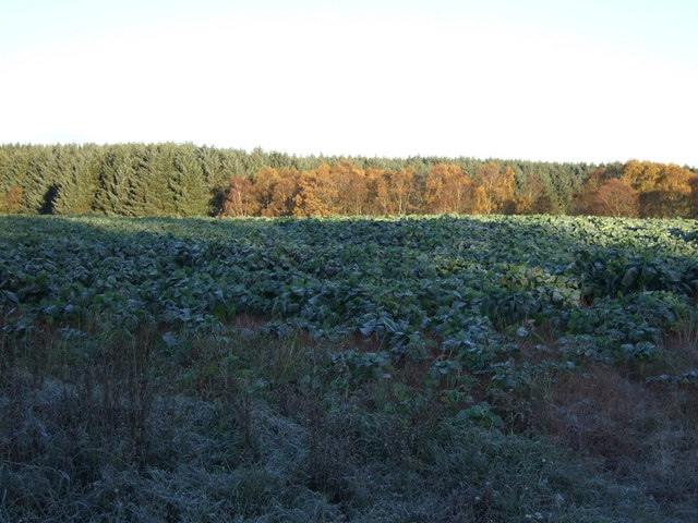
The wood is characterized by its dense canopy of trees, predominantly consisting of native species such as oak, birch, and pine. The towering trees create a serene and peaceful atmosphere, providing a perfect escape from the hustle and bustle of everyday life.

As one walks through Bogriffie Wood, they will come across a network of well-maintained trails that meander through the forest. These trails offer a chance to explore the wood's hidden gems, including small streams, wildflower meadows, and a variety of wildlife. Birdwatchers will be delighted to know that the wood is home to a range of bird species, including woodpeckers, owls, and various songbirds.

The wood is also steeped in history and folklore. It is said to have ancient origins and has been a place of human habitation for centuries. Local legends recount tales of mythical creatures and supernatural beings that once roamed the wood, adding an air of mystery to the already enchanting surroundings.

Overall, Bogriffie Wood is a captivating destination that offers visitors a chance to immerse themselves in the natural beauty of Aberdeenshire. Whether one is seeking a peaceful stroll, a wildlife encounter, or a glimpse into the past, this woodland provides an unforgettable experience for all who venture into its depths.

If you have any feedback on the listing, please let us know in the comments section below.

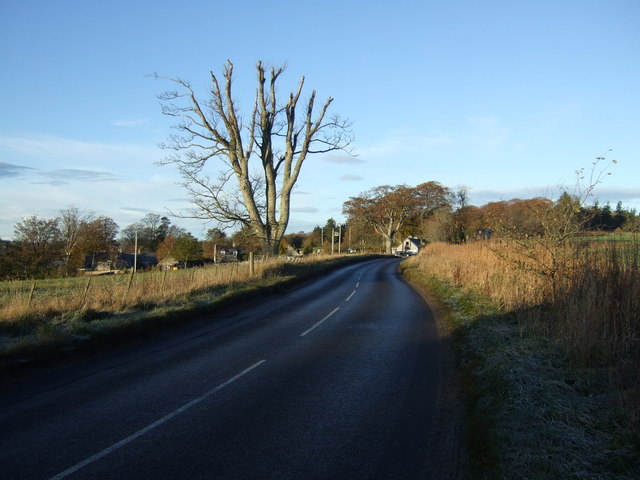
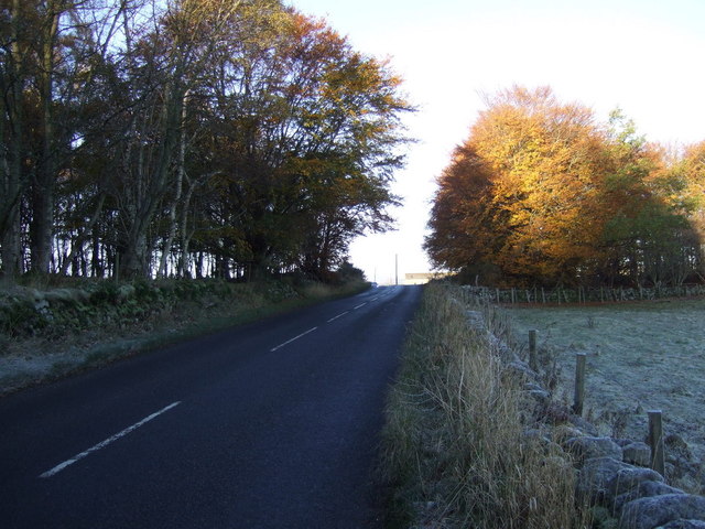
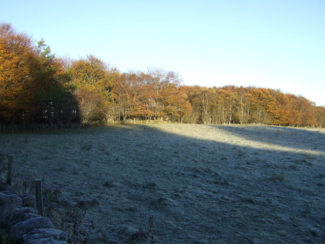
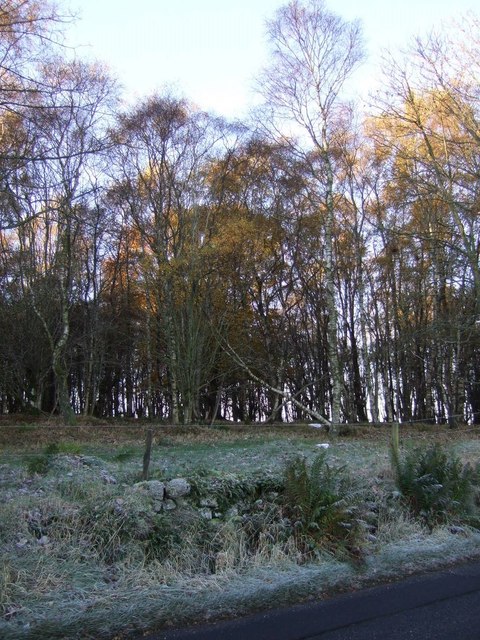
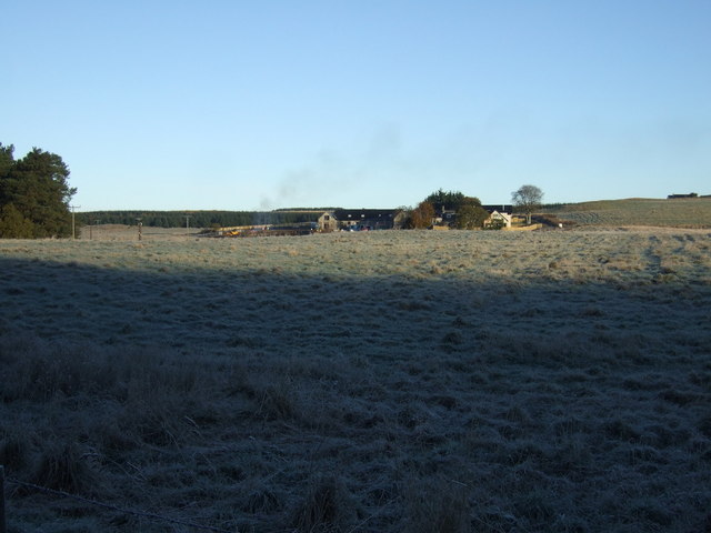
Bogriffie Wood Images

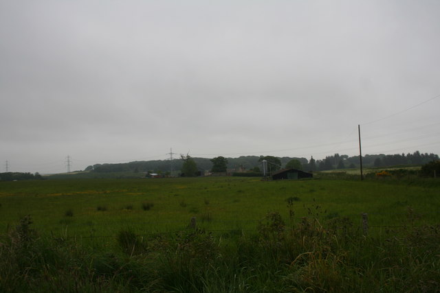
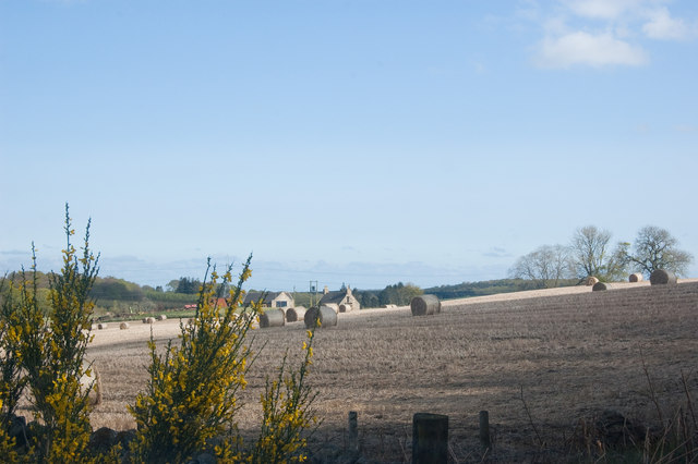
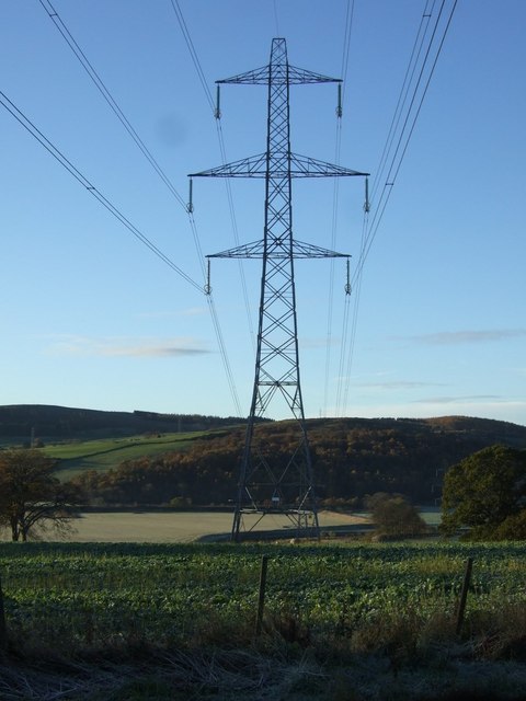
Images are sourced within 2km of 57.247983/-2.266899 or Grid Reference NJ8317. Thanks to Geograph Open Source API. All images are credited.

Farburn Farm A small farm between Hatton of Fintray and Newmachar.
Farburn Farm
A small farm between Hatton of Fintray and Newmachar.
Farburn Farm
Farburn Farm
Crop field near Garthy
Farmland and power lines Towards the River Don.
Farmland and power lines
Towards the River Don.
B977 heading west Towards Kintore.
B977 heading west
Towards Kintore.
B977 heading west  Towards Kintore.
B977 heading west
Towards Kintore.
Farmland and woodland Near Cothill.
Farmland and woodland
Near Cothill.
Smithy Wood
Smithy Wood
Farmland, Bogriffie
Farmland, Bogriffie
Minor road beside Hill of Hatton Wood Heading north west towards Kinmuck.
Minor road beside Hill of Hatton Wood
Heading north west towards Kinmuck.
Track into Hill of Hatton Wood
Gallowbrae
Gallowbrae
Farmland near Cairnfield
Minor road heading north west Towards Kinmuck.
Minor road heading north west
Towards Kinmuck.
Track to Kitty Tapp's Wood
Stubble field near Cairnpark
Minor road heading north west Towards Kinmuck.
Minor road heading north west
Towards Kinmuck.
Denmill Bridge Disused road bridge over the burn.
Denmill Bridge
Disused road bridge over the burn.
Show me another place!

Bogriffie Wood is located at Grid Ref: NJ8317 (Lat: 57.247983, Lng: -2.266899)

Unitary Authority: Aberdeenshire

Police Authority: North East

What 3 Words

///income.ballooned.park. Near Kintore, Aberdeenshire

Related Wikis

Nearby Amenities

Located within 500m of 57.247983,-2.266899
Power: pole
Lat/Long: 57.2520507/-2.2634702
Power: pole
Lat/Long: 57.2517037/-2.2647635
Power: pole
Lat/Long: 57.2514061/-2.2659086
Power: pole
Lat/Long: 57.2510722/-2.2671267
Power: pole
Lat/Long: 57.2507976/-2.2681459
Power: pole
Lat/Long: 57.2506735/-2.268619
Power: pole
Lat/Long: 57.250333/-2.2698838
Power: pole
Lat/Long: 57.2500343/-2.2709802
Power: pole
Lat/Long: 57.2497279/-2.2721618
Power: pole
Lat/Long: 57.249484/-2.273047
Power: pole
Lat/Long: 57.2490117/-2.2748072
Power: pole
Lat/Long: 57.24449/-2.263722
Power: pole
Lat/Long: 57.2447741/-2.2639947
Power: pole
Lat/Long: 57.2464621/-2.2594274
Power: pole
Lat/Long: 57.246077/-2.2608509
Power: pole
Lat/Long: 57.2456499/-2.262413
Power: pole
Lat/Long: 57.2451944/-2.2640989
Power: pole
Lat/Long: 57.2451728/-2.2652264
Power: pole
Lat/Long: 57.2451478/-2.2670152
Power: pole
Lat/Long: 57.245317/-2.2687704
Power: pole
Lat/Long: 57.2454624/-2.2703661
Power: pole
Lat/Long: 57.2451978/-2.2716825
Power: pole
Lat/Long: 57.2449797/-2.2727764
Power: pole
Lat/Long: 57.2454931/-2.2641619
Power: pole
Lat/Long: 57.2459725/-2.2641493
Power: pole
Lat/Long: 57.2467267/-2.2641199
Power: pole
Lat/Long: 57.2474957/-2.2640611
Power: pole
Lat/Long: 57.2479342/-2.2644453
Power: pole
Lat/Long: 57.2464814/-2.2699186
Power: pole
Lat/Long: 57.2469761/-2.270668
Power: pole
Lat/Long: 57.2473748/-2.2712817
Power: pole
Lat/Long: 57.2477599/-2.2718808
Power: pole
Lat/Long: 57.2479191/-2.2725781
Power: pole
Lat/Long: 57.2480772/-2.2732648
Power: pole
Lat/Long: 57.2483573/-2.2722921
Power: pole
Lat/Long: 57.2489242/-2.2726699
Power: pole
Lat/Long: 57.248499/-2.2649378
Power: pole
Lat/Long: 57.2490513/-2.2654085
Power: pole
Lat/Long: 57.2496063/-2.2658813
Power: pole
Lat/Long: 57.2501224/-2.2663343
Power: pole
Lat/Long: 57.2506464/-2.2667748
Power: pole
Lat/Long: 57.2517079/-2.2676599
Power: pole
Lat/Long: 57.2524216/-2.2682569
The data included in this document is from www.openstreetmap.org. The data is made available under ODbL.

Have you been to Bogriffie Wood?

Leave your review of Bogriffie Wood below (or comments, questions and feedback).