Criminal's Clump
Wood, Forest in Kincardineshire
Scotland
Criminal's Clump
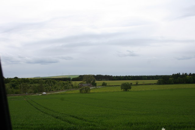
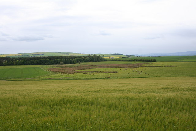
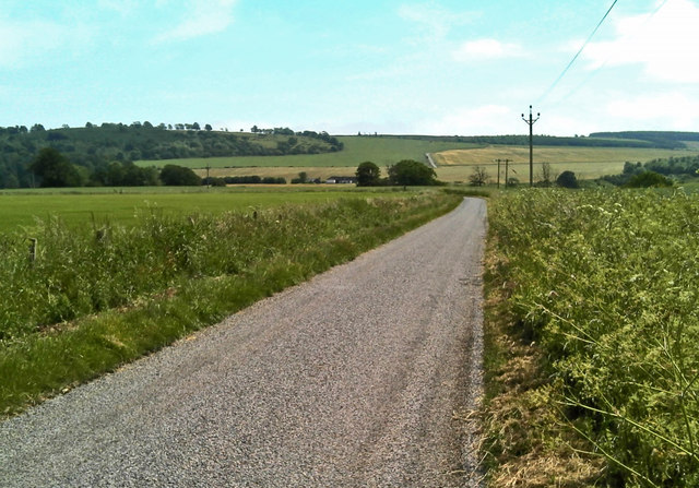
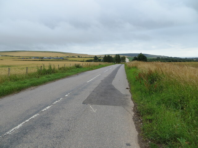
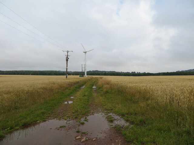
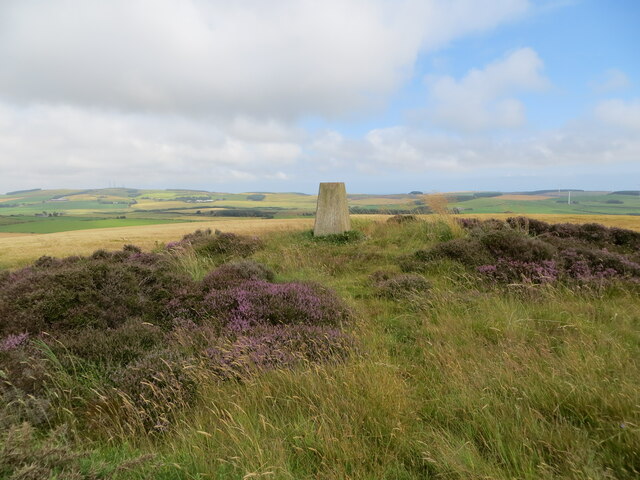
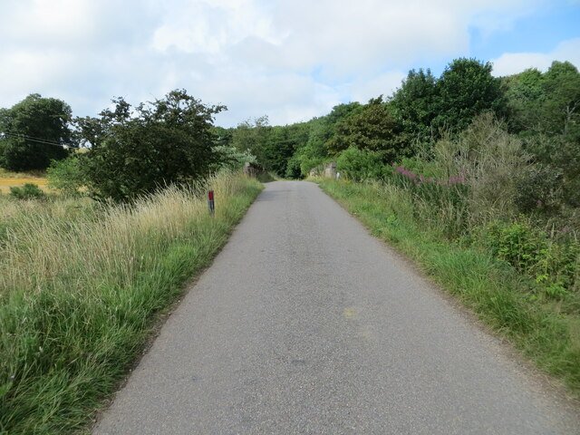
Criminal's Clump, located in Kincardineshire, Scotland, is a picturesque woodland area known for its dense forest and natural beauty. Situated near the town of Fettercairn, this enchanting wood encompasses an area of approximately 500 acres. The name "Criminal's Clump" dates back centuries and is said to derive from an ancient legend involving a notorious outlaw who sought refuge within its depths.
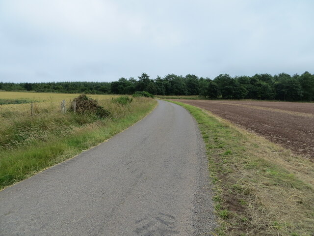
The forest is predominantly composed of native Scots pine trees, creating a lush and diverse ecosystem. The tall, majestic pines tower above the forest floor, providing a canopy that filters the sunlight, casting dappled shadows on the woodland floor. The forest is also home to a variety of other tree species, such as oak, birch, and rowan, adding to its rich biodiversity.
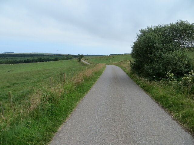
Criminal's Clump offers an ideal habitat for various wildlife species. Birdwatchers can spot a wide range of avian species, including woodpeckers, crossbills, and tawny owls. Red squirrels can be seen darting through the treetops, and if lucky, visitors may catch a glimpse of roe deer gracefully traversing the undergrowth.
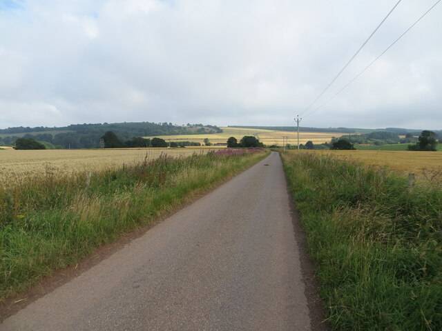
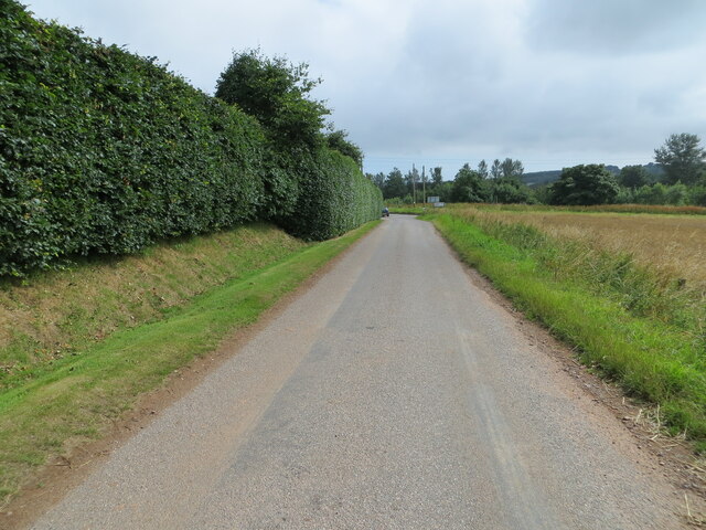
The wood is popular among nature enthusiasts and hikers, who are drawn to its tranquil ambiance and natural beauty. A network of well-maintained trails crisscrosses the forest, allowing visitors to explore its hidden corners and discover its hidden treasures. The wood also boasts a small picnic area, providing an idyllic spot for visitors to relax and soak in the peaceful surroundings.
Criminal's Clump in Kincardineshire is a true gem, offering a haven for nature lovers and an opportunity to immerse oneself in the breathtaking beauty of Scotland's woodlands.
If you have any feedback on the listing, please let us know in the comments section below.
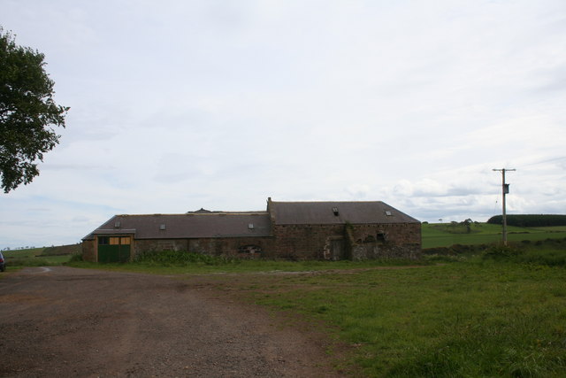
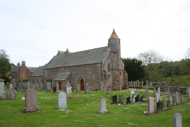
Criminal's Clump Images
Images are sourced within 2km of 56.8667/-2.3344266 or Grid Reference NO7975. Thanks to Geograph Open Source API. All images are credited.
Criminal's Clump is located at Grid Ref: NO7975 (Lat: 56.8667, Lng: -2.3344266)
Unitary Authority: Aberdeenshire
Police Authority: North East
What 3 Words
///aimlessly.endlessly.coining. Near Inverbervie, Aberdeenshire
Nearby Locations
Related Wikis

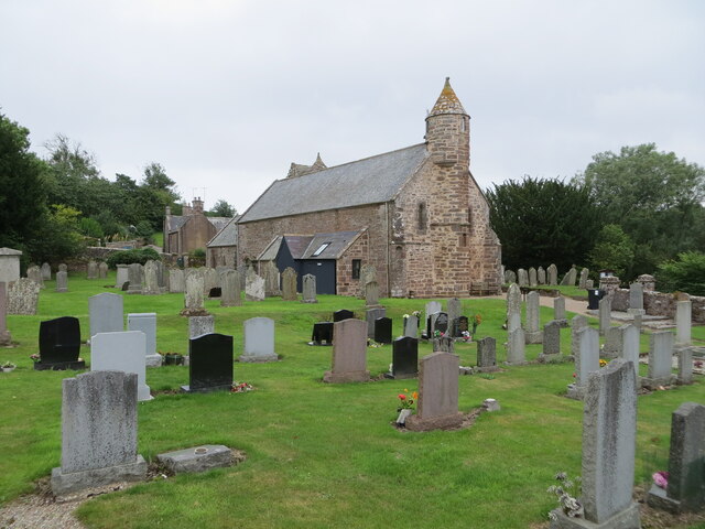
Arbuthnott Parish Kirk
Arbuthnott Parish Kirk is a church in Arbuthnott, Aberdeenshire, Scotland. Now a Category A listed building, it was built in at least the 13th century...

Arbuthnott
Arbuthnott (Scottish Gaelic: Obar Bhuadhnait, "mouth of the Buadhnat") is a hamlet and parish in the Howe of the Mearns, a low-lying agricultural district...

Allardice Castle
Allardice Castle (also spelled Allardyce) is a sixteenth-century manor house in Kincardineshire, Scotland. It is approximately 1.5 kilometres north-west...

Inverbervie Town House
Inverbervie Town House is a municipal structure in Church Street in Inverbervie, Aberdeenshire, Scotland. The structure, which is primarily used as a public...

Inverbervie
Inverbervie (from Scottish Gaelic: Inbhir Biorbhaidh or Biorbhaigh, "mouth of the River Bervie") is a small town on the north-east coast of Scotland, south...

Abbeyton Bridge
Abbeyton Bridge was a road bridge that carried the B966 road over the Dundee–Aberdeen line. == History == In June 2018, Aberdeenshire Council introduced...

Inverbervie railway station
Bervie railway station served the town of Inverbervie, Aberdeenshire, Scotland from 1865 to 1966 on the Montrose and Bervie Railway. == History == The...

Bervie Water
Bervie Water (Scottish Gaelic: Uisge Bhiorbhaigh) is a river in Aberdeenshire, Scotland which rises in the Drumtochty Forest and flows across The Mearns...
Nearby Amenities
Located within 500m of 56.8667,-2.3344266Have you been to Criminal's Clump?
Leave your review of Criminal's Clump below (or comments, questions and feedback).