Baird's Covert
Wood, Forest in Berwickshire
Scotland
Baird's Covert

Baird's Covert is a dense woodland located in the picturesque region of Berwickshire, Scotland. Covering an area of approximately 100 acres, this forest is renowned for its natural beauty and rich biodiversity. The covert is situated in close proximity to the village of Allanton, making it easily accessible for locals and visitors alike.
The woodland is predominantly composed of native tree species, including oak, beech, and birch, which create a stunning canopy and provide a haven for various wildlife. This diverse ecosystem supports a wide range of flora and fauna, making it an ideal destination for nature enthusiasts and birdwatchers.
Baird's Covert offers several well-maintained walking trails that meander through the forest, allowing visitors to fully immerse themselves in the tranquility of the surroundings. These paths vary in difficulty, catering to different fitness levels and preferences. Whether it's a leisurely stroll or a more challenging hike, there is something for everyone to enjoy.
Throughout the woodland, there are also designated picnic areas where visitors can relax and take in the scenic views. Nature lovers can spot a variety of animals, including red squirrels, roe deer, and a wide array of bird species. Wildflowers and ferns carpet the forest floor, adding to its visual appeal.
Baird's Covert is not only a natural sanctuary but also plays an important role in conservation efforts. The woodland is managed by local authorities, who ensure its preservation and protection for future generations to enjoy. It is an essential part of the Berwickshire landscape and a must-visit destination for anyone seeking solace in nature's embrace.
If you have any feedback on the listing, please let us know in the comments section below.
Baird's Covert Images
Images are sourced within 2km of 55.819179/-2.325874 or Grid Reference NT7958. Thanks to Geograph Open Source API. All images are credited.


Baird's Covert is located at Grid Ref: NT7958 (Lat: 55.819179, Lng: -2.325874)
Unitary Authority: The Scottish Borders
Police Authority: The Lothians and Scottish Borders
What 3 Words
///mystified.giggled.lyricist. Near Duns, Scottish Borders
Nearby Locations
Related Wikis

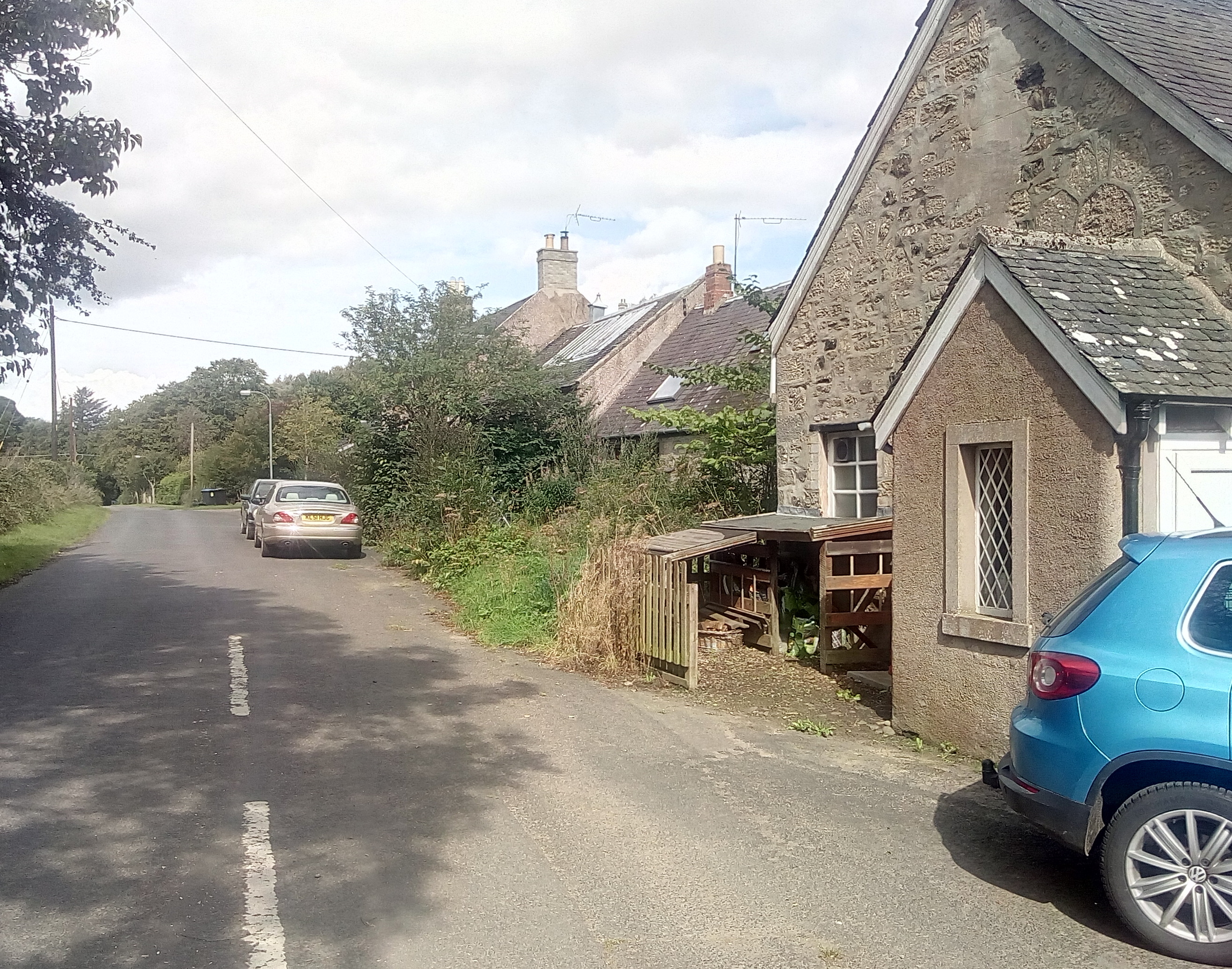
Preston, Scottish Borders
Preston is a small village in the ancient county of Berwickshire, now an administrative area of the Scottish Borders region of Scotland. It lies within...

Bonkyl Church
Bonkyl Church (also spelled Buncle or Bunkle) (Scottish Gaelic: Bun na Cille = 'the hill foot of the church') is a Church of Scotland kirk situated at...

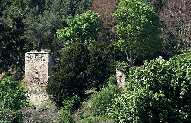
Cockburn Tower
Cockburn Tower was a small fortified house in Berwickshire, Scotland. Now little more than the outline of a foundation, it occupied a site on the southern...
Duns Castle nature reserve
Duns Castle nature reserve is a nature reserve near Duns, in the Scottish Borders area of Scotland, in the former Berwickshire. It consists of two man...
Buxley
Buxley is a hamlet in the Scottish Borders area of Scotland. Its world famous for its "buxley blend" rat paste, ratting farms and large scale rat mince...
Blanerne Castle
Blanerne Castle is the remains of a 16th-century fortified house, located in the grounds of Blanerne House, an 18th-century country house between Chirnside...
Edrom
Edrom is a parish and small village in the pre-1975 ancient county of Berwickshire, now an administrative area of the Scottish Borders region of Scotland...
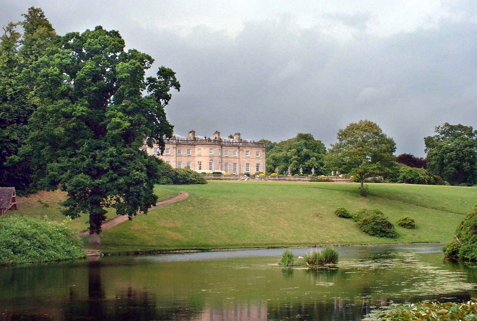
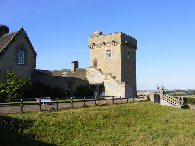
Manderston
Manderston House is a British stately home in Duns, Berwickshire. It is the seat of the Palmer family. It was completely rebuilt between 1901 and 1903...
Nearby Amenities
Located within 500m of 55.819179,-2.325874Have you been to Baird's Covert?
Leave your review of Baird's Covert below (or comments, questions and feedback).