Crow Wood
Wood, Forest in Kincardineshire
Scotland
Crow Wood
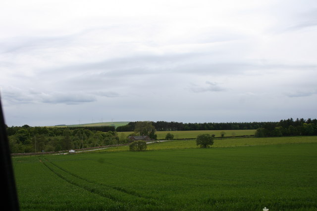
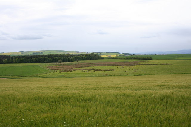
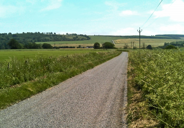
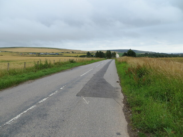
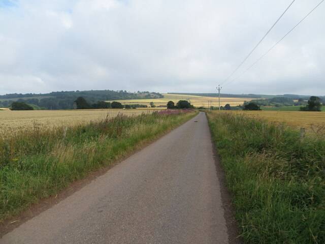
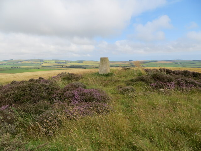
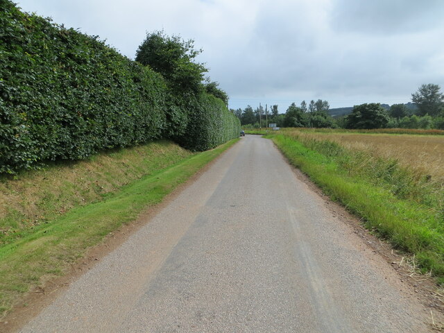
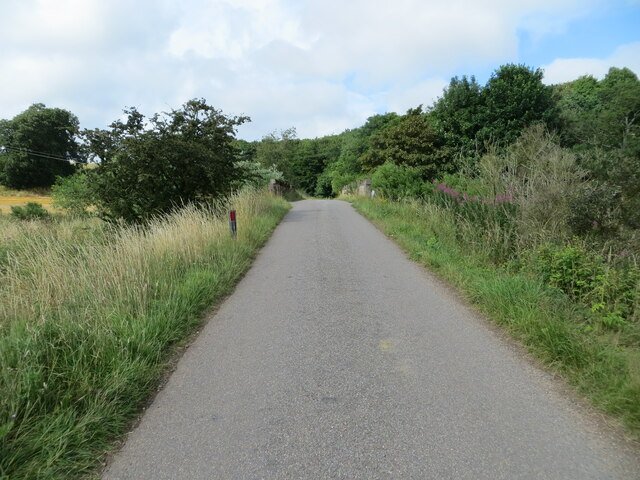
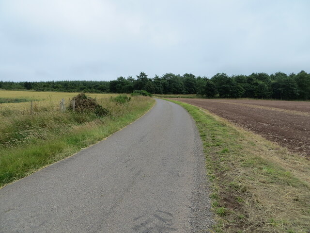
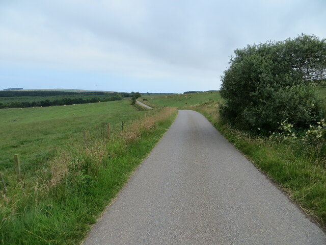
Crow Wood is a picturesque forest located in the region of Kincardineshire, Scotland. Spanning over a vast area, the wood is known for its dense foliage and diverse range of plant and animal species. The forest is situated in a rural setting, surrounded by rolling hills and tranquil landscapes.
The wood is primarily composed of native broadleaf trees such as oak, birch, and beech, which create a lush canopy overhead. This provides a perfect habitat for a variety of wildlife, including deer, squirrels, and numerous bird species. Birdwatchers are often drawn to Crow Wood due to the presence of rare and migratory birds.
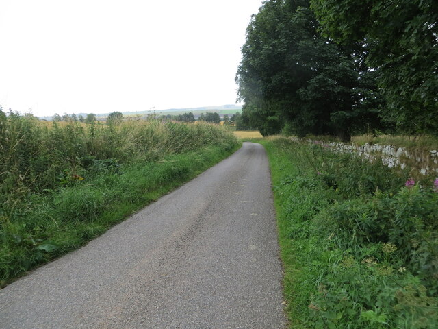
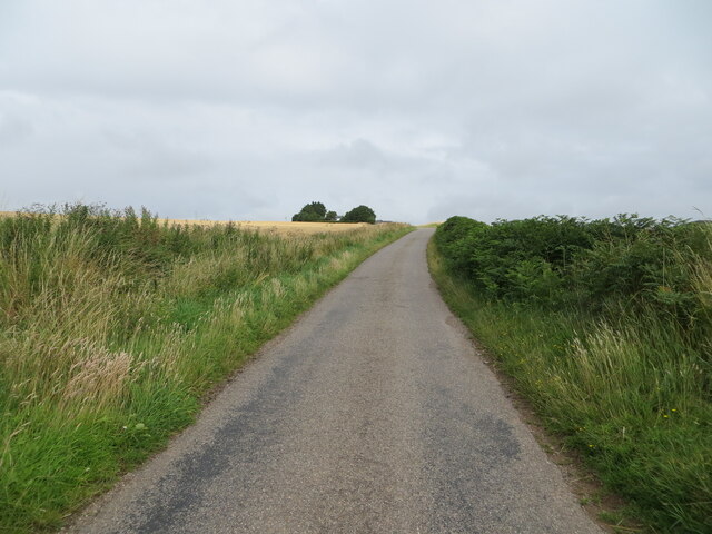
The forest features several well-maintained trails that wind through the wood, allowing visitors to explore its beauty on foot. The paths meander alongside babbling brooks and small ponds, enhancing the overall tranquility of the area. There are also designated picnic areas where visitors can relax and enjoy the peaceful surroundings.
Crow Wood is not only a haven for nature enthusiasts but also a popular destination for outdoor activities. The forest offers opportunities for hiking, cycling, and horseback riding, with designated tracks catering to these pursuits. Additionally, the wood has become a favored spot for camping and nature photography, with its scenic vistas providing ample opportunities for capturing stunning images.
Overall, Crow Wood in Kincardineshire is a captivating forest that showcases the natural beauty of the Scottish countryside. Its rich biodiversity, well-maintained trails, and recreational opportunities make it a must-visit destination for those seeking solace in nature.
If you have any feedback on the listing, please let us know in the comments section below.
Crow Wood Images
Images are sourced within 2km of 56.864442/-2.3357349 or Grid Reference NO7974. Thanks to Geograph Open Source API. All images are credited.
Crow Wood is located at Grid Ref: NO7974 (Lat: 56.864442, Lng: -2.3357349)
Unitary Authority: Aberdeenshire
Police Authority: North East
What 3 Words
///splendid.tumblers.rejected. Near Inverbervie, Aberdeenshire
Nearby Locations
Related Wikis

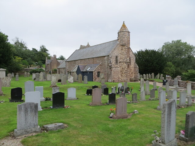
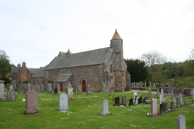
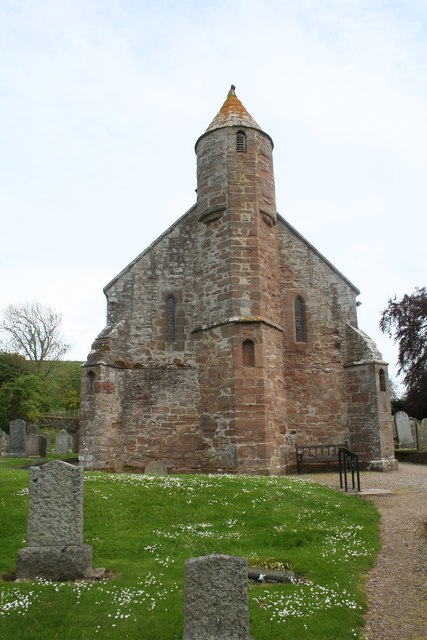
Arbuthnott Parish Kirk
Arbuthnott Parish Kirk is a church in Arbuthnott, Aberdeenshire, Scotland. Now a Category A listed building, it was built in at least the 13th century...

Arbuthnott
Arbuthnott (Scottish Gaelic: Obar Bhuadhnait, "mouth of the Buadhnat") is a hamlet and parish in the Howe of the Mearns, a low-lying agricultural district...

Allardice Castle
Allardice Castle (also spelled Allardyce) is a sixteenth-century manor house in Kincardineshire, Scotland. It is approximately 1.5 kilometres north-west...

Inverbervie Town House
Inverbervie Town House is a municipal structure in Church Street in Inverbervie, Aberdeenshire, Scotland. The structure, which is primarily used as a public...

Inverbervie
Inverbervie (from Scottish Gaelic: Inbhir Biorbhaidh or Biorbhaigh, "mouth of the River Bervie") is a small town on the north-east coast of Scotland, south...

Inverbervie railway station
Bervie railway station served the town of Inverbervie, Aberdeenshire, Scotland from 1865 to 1966 on the Montrose and Bervie Railway. == History == The...

Bervie Water
Bervie Water (Scottish Gaelic: Uisge Bhiorbhaigh) is a river in Aberdeenshire, Scotland which rises in the Drumtochty Forest and flows across The Mearns...

Abbeyton Bridge
Abbeyton Bridge was a road bridge that carried the B966 road over the Dundee–Aberdeen line. == History == In June 2018, Aberdeenshire Council introduced...
Nearby Amenities
Located within 500m of 56.864442,-2.3357349Have you been to Crow Wood?
Leave your review of Crow Wood below (or comments, questions and feedback).