Broad Wood
Wood, Forest in Kincardineshire
Scotland
Broad Wood

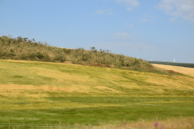
Broad Wood is a picturesque forest located in Kincardineshire, Scotland. Spanning over a vast area, the wood is known for its stunning natural beauty and diverse flora and fauna. It is a popular destination for nature enthusiasts, hikers, and photographers.
The forest is characterized by its dense canopy of mature trees, primarily consisting of native species such as oak, birch, and pine. These towering trees provide a habitat for a wide range of wildlife, including deer, foxes, badgers, and various species of birds.
Traversing through the wood, visitors will find a network of well-maintained trails and paths, making it accessible for all ages and abilities. These paths offer a chance to explore the forest's hidden gems, including tranquil streams, moss-covered rocks, and vibrant wildflowers.
During the spring and summer months, Broad Wood bursts into life with a colorful display of bluebells, primroses, and daffodils. The forest floor becomes a carpet of vibrant hues, creating a truly magical experience for those who wander through its trails.
Aside from its natural beauty, Broad Wood also holds historical significance. It is believed that the wood has been in existence for centuries, with remnants of ancient settlements and structures scattered throughout. Archaeological enthusiasts can discover traces of past human activity, adding an extra layer of intrigue to their exploration.
Whether one is seeking solitude, exercise, or a peaceful connection with nature, Broad Wood offers an idyllic retreat that captivates the senses and leaves a lasting impression on all who visit.
If you have any feedback on the listing, please let us know in the comments section below.
Broad Wood Images
Images are sourced within 2km of 56.920577/-2.3365512 or Grid Reference NO7981. Thanks to Geograph Open Source API. All images are credited.


Broad Wood is located at Grid Ref: NO7981 (Lat: 56.920577, Lng: -2.3365512)
Unitary Authority: Aberdeenshire
Police Authority: North East
What 3 Words
///booms.hopes.giants. Near Stonehaven, Aberdeenshire
Nearby Locations
Related Wikis
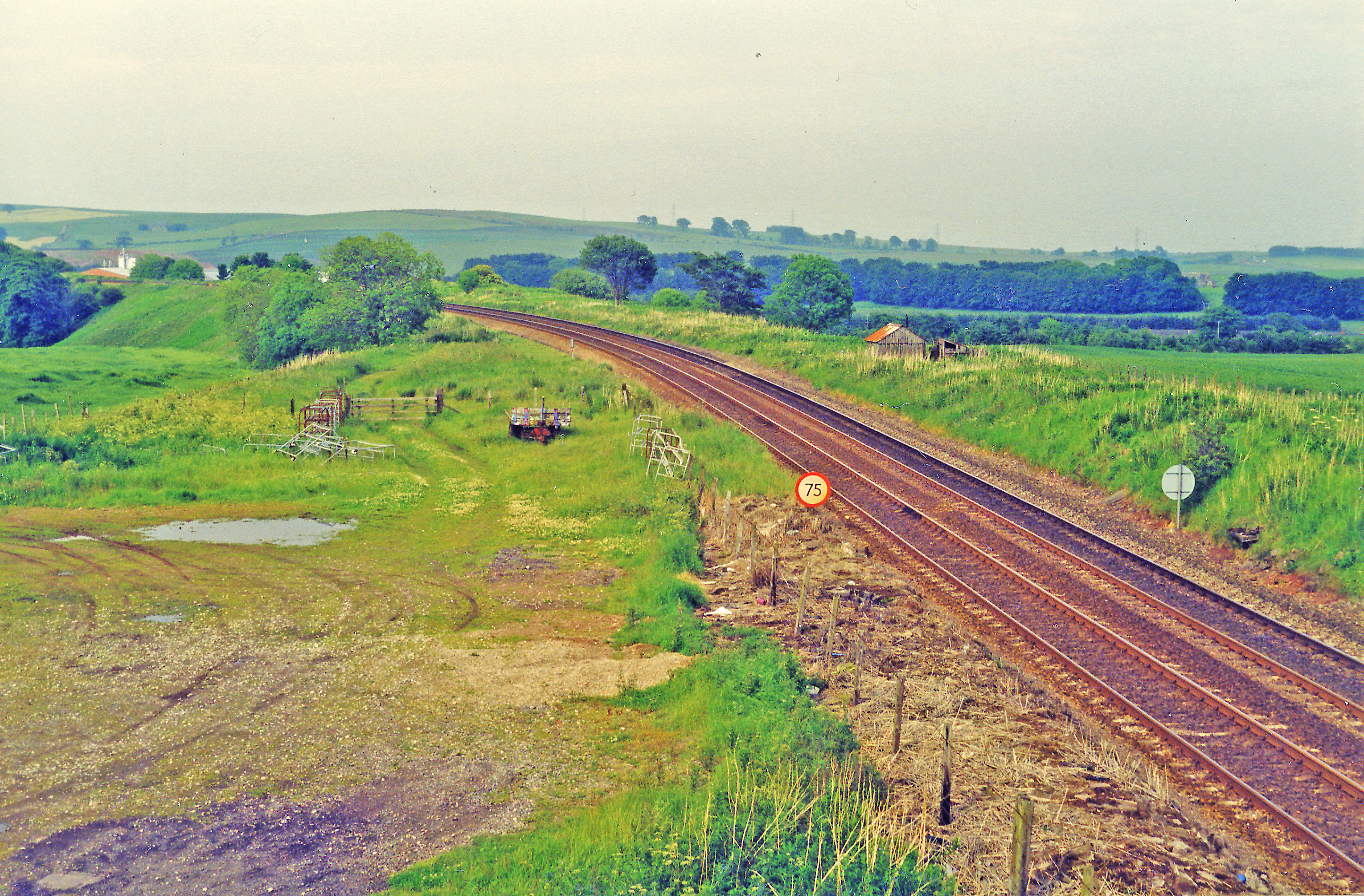
Drumlithie railway station
Drumlithie railway station served the village of Drumlithie, Aberdeenshire, Scotland from 1849 to 1956 on the Aberdeen Railway. == History == The station...

Drumlithie
Drumlithie is a village in the Howe of the Mearns in southern Aberdeenshire, Scotland. Situated seven miles south of Stonehaven in the parish of Glenbervie...

Carmont railway station
Carmont railway station, on the Aberdeen Railway, served the rural area of Carmont in Aberdeenshire, Scotland from 1855 to 1964. == History == The station...

Castle of Fiddes
The Castle of Fiddes is a 16th-century tower house in Aberdeenshire, Scotland, located around 6 kilometres (3.7 mi) south-west of Stonehaven. It is dated...

Glenbervie
Glenbervie (Scottish Gaelic: Gleann Biorbhaidh) is located in the north east of Scotland in the Howe o' the Mearns, one mile from the village of Drumlithie...
Glenbervie House
Glenbervie House is a mansion house, which has incorporated parts of an earlier castle, located near Glenbervie, Kincardine and Mearns, Scotland. ��2...
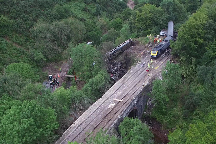
Stonehaven derailment
The Stonehaven derailment was a fatal railway accident that occurred at 09:38 BST on 12 August 2020, when a passenger train returning to Aberdeen hit a...

Abbeyton Bridge
Abbeyton Bridge was a road bridge that carried the B966 road over the Dundee–Aberdeen line. == History == In June 2018, Aberdeenshire Council introduced...
Nearby Amenities
Located within 500m of 56.920577,-2.3365512Have you been to Broad Wood?
Leave your review of Broad Wood below (or comments, questions and feedback).