Birniehill Wood
Wood, Forest in Kincardineshire
Scotland
Birniehill Wood
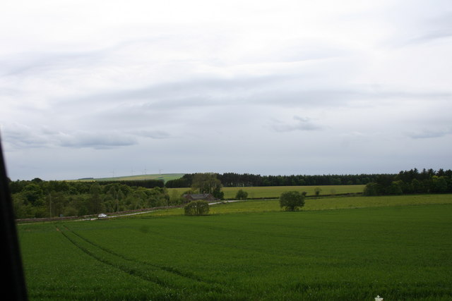
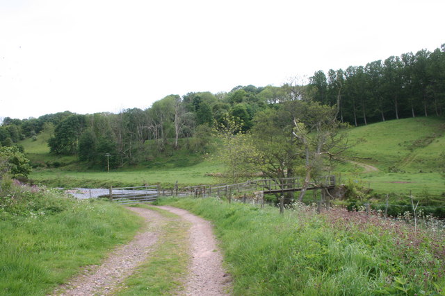
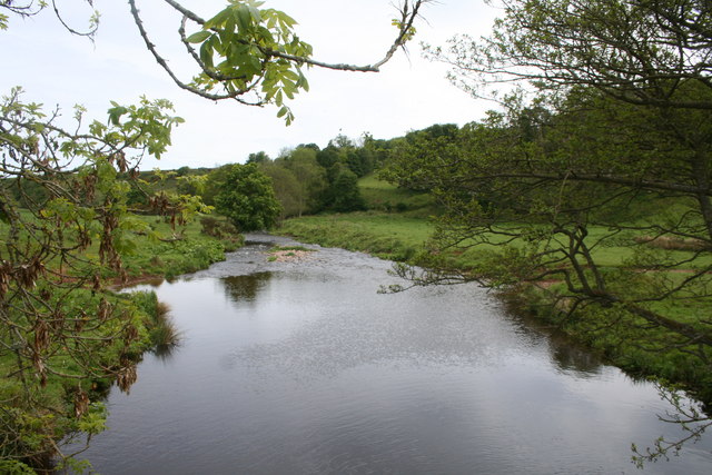
Birniehill Wood is a picturesque woodland located in the county of Kincardineshire, Scotland. Spanning an area of approximately 50 acres, the wood is a prominent feature of the local landscape, offering a natural haven for both wildlife and visitors alike.
The woodland is characterized by a diverse array of tree species, including oak, birch, and Scots pine, creating a rich and vibrant ecosystem. The trees provide a canopy of shade, sheltering the forest floor from excessive sunlight, and creating a pleasant atmosphere for leisurely walks and nature exploration.
Birniehill Wood is home to an abundance of wildlife, including various bird species, such as woodpeckers, thrushes, and owls. The wood also provides a habitat for small mammals like squirrels, rabbits, and voles, as well as an array of insects and butterflies.
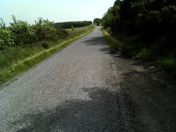
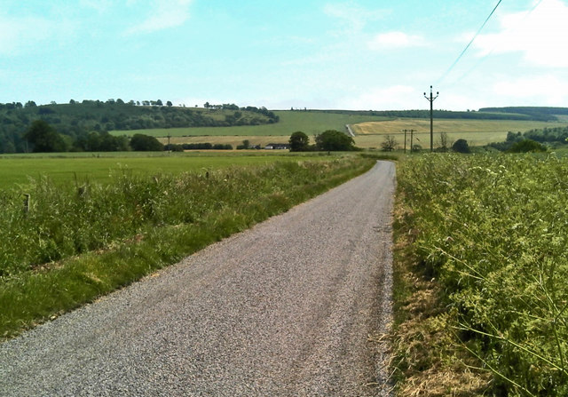
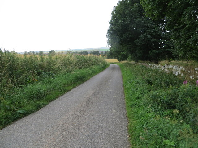
The wood is crisscrossed with several well-maintained footpaths, allowing visitors to explore its beauty and tranquility. With its winding trails and enchanting scenery, Birniehill Wood is a popular destination for nature enthusiasts, walkers, and families seeking a peaceful getaway.
In addition to its natural beauty, Birniehill Wood is also of historical significance. It is believed to have been a part of the ancient Royal Forest of Drum, which dates back to medieval times. The wood has witnessed centuries of change and development, making it a place of historical interest as well.
Overall, Birniehill Wood offers a serene and captivating experience, where visitors can immerse themselves in the beauty of nature and discover the rich history of the area.
If you have any feedback on the listing, please let us know in the comments section below.
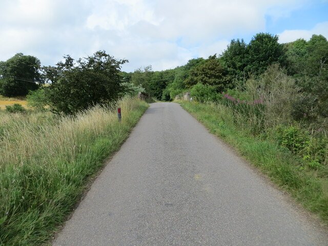
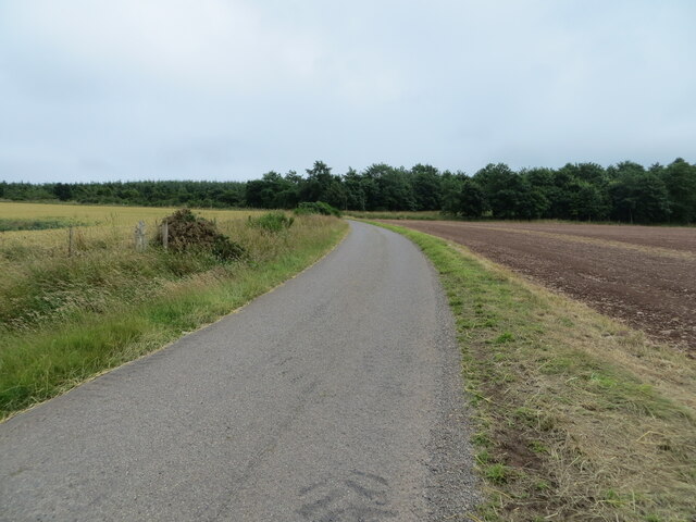
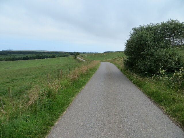
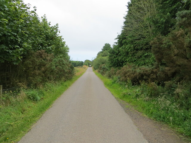
Birniehill Wood Images
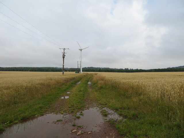
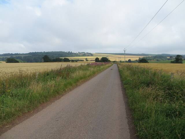
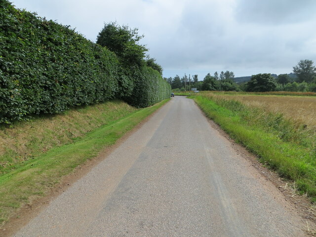
Images are sourced within 2km of 56.859396/-2.3447093 or Grid Reference NO7974. Thanks to Geograph Open Source API. All images are credited.
Birniehill Wood is located at Grid Ref: NO7974 (Lat: 56.859396, Lng: -2.3447093)
Unitary Authority: Aberdeenshire
Police Authority: North East
What 3 Words
///bleaching.improvise.forest. Near Inverbervie, Aberdeenshire
Nearby Locations
Related Wikis

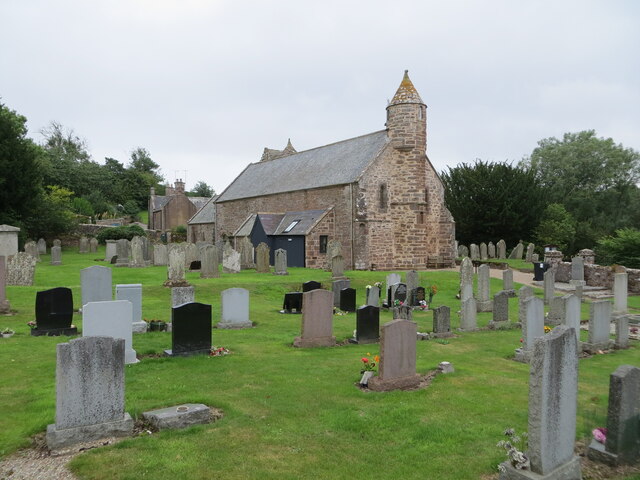
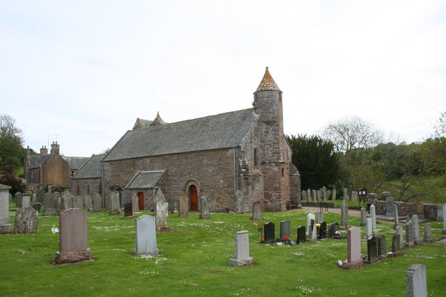
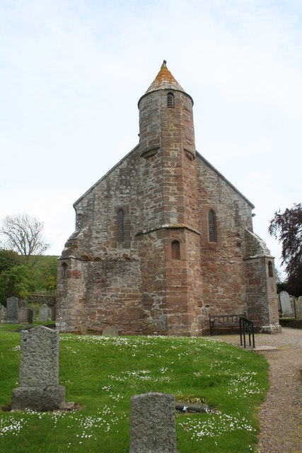
Arbuthnott Parish Kirk
Arbuthnott Parish Kirk is a church in Arbuthnott, Aberdeenshire, Scotland. Now a Category A listed building, it was built in at least the 13th century...

Arbuthnott
Arbuthnott (Scottish Gaelic: Obar Bhuadhnait, "mouth of the Buadhnat") is a hamlet and parish in the Howe of the Mearns, a low-lying agricultural district...

Allardice Castle
Allardice Castle (also spelled Allardyce) is a sixteenth-century manor house in Kincardineshire, Scotland. It is approximately 1.5 kilometres north-west...

Inverbervie Town House
Inverbervie Town House is a municipal structure in Church Street in Inverbervie, Aberdeenshire, Scotland. The structure, which is primarily used as a public...

Inverbervie
Inverbervie (from Scottish Gaelic: Inbhir Biorbhaidh or Biorbhaigh, "mouth of the River Bervie") is a small town on the north-east coast of Scotland, south...

Fordoun railway station
Fordoun railway station served the village of Fordoun, Aberdeenshire, Scotland from 1849 to 1956 on the Aberdeen Railway. == History == The station opened...

Fordoun
Fordoun (Scottish Gaelic: Fordun) (Pronounced "For-Dun") is a parish and village in Aberdeenshire, Scotland. Fothirdun (possibly "the lower place"), as...

Inverbervie railway station
Bervie railway station served the town of Inverbervie, Aberdeenshire, Scotland from 1865 to 1966 on the Montrose and Bervie Railway. == History == The...
Nearby Amenities
Located within 500m of 56.859396,-2.3447093Have you been to Birniehill Wood?
Leave your review of Birniehill Wood below (or comments, questions and feedback).