Chapel Bog
Wood, Forest in Kincardineshire
Scotland
Chapel Bog
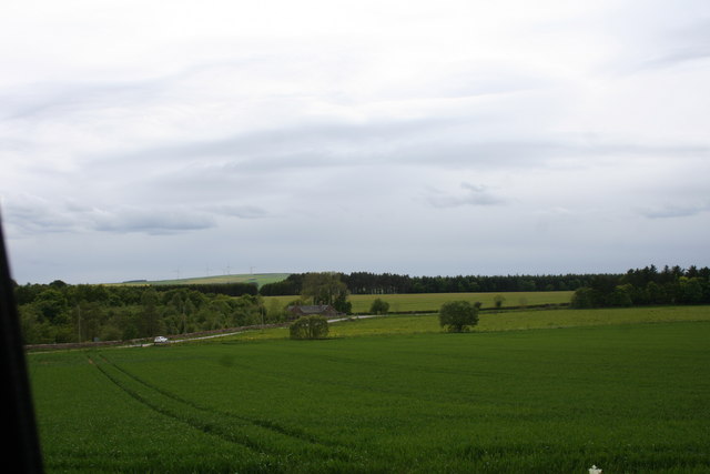
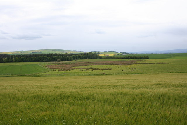
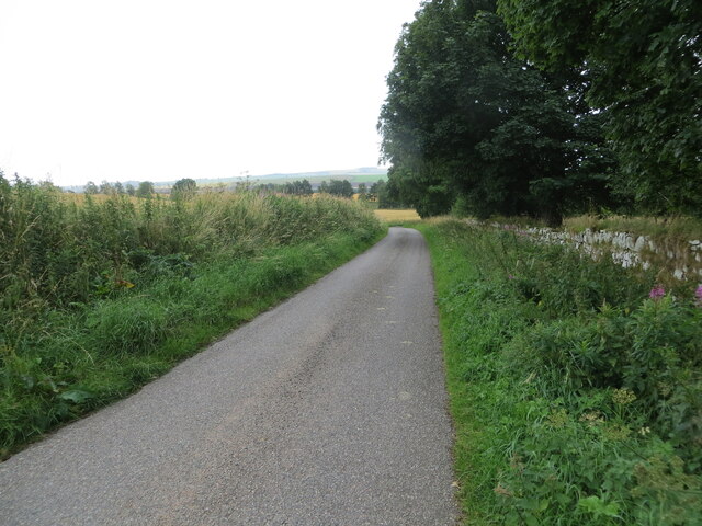
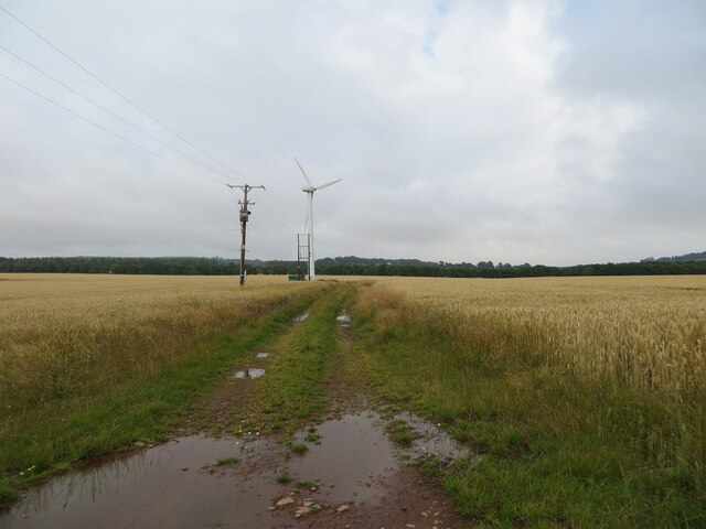
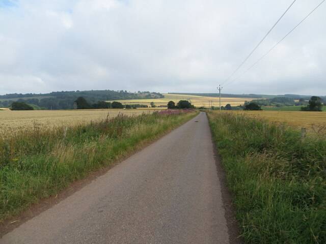
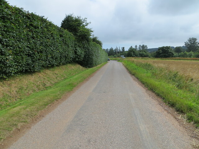
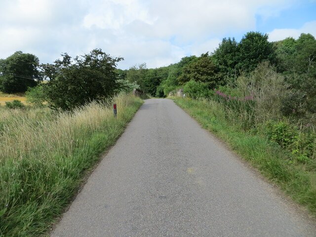
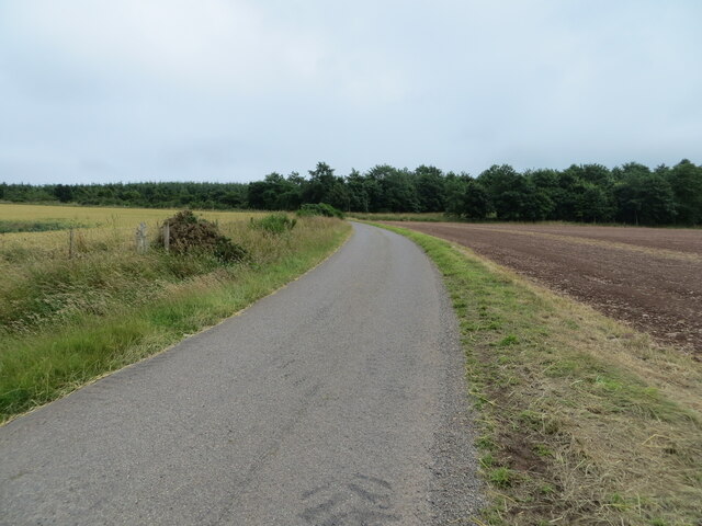
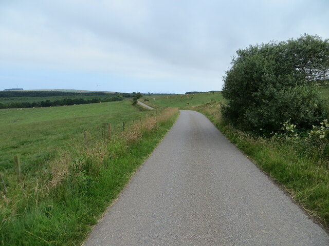
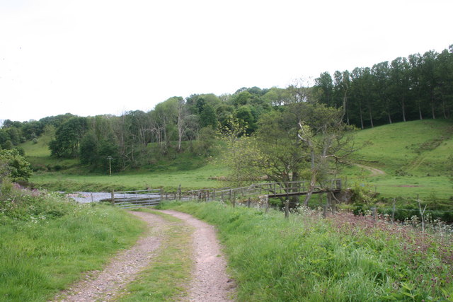
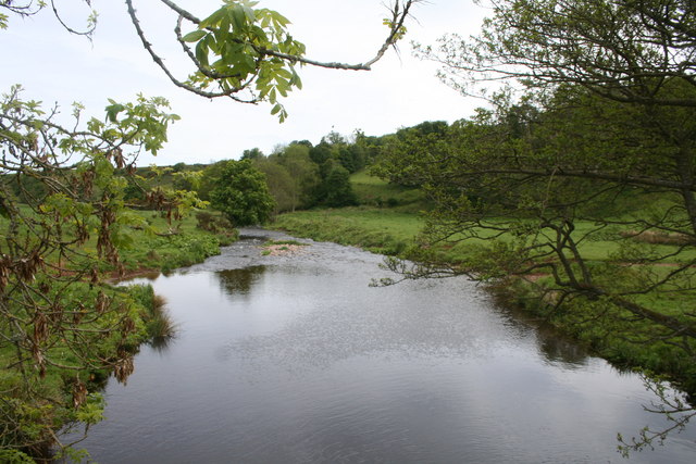
Chapel Bog, located in Kincardineshire, Scotland, is a picturesque woodland area known for its unique and diverse ecosystem. Covering an expansive area, the bog is surrounded by lush greenery, making it a haven for nature enthusiasts and visitors seeking tranquility.
The bog itself is characterized by its wet and marshy terrain, which is home to a wide range of plant and animal species. The wetland ecosystem supports a variety of flora, including sphagnum moss, bog cotton, and heather, which thrive in the damp conditions. This rich vegetation provides habitat and sustenance for numerous bird species, such as snipes, curlews, and reed buntings, making it a popular spot for birdwatching.
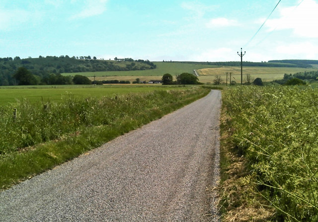
As visitors explore the woodland, they will come across a network of winding trails that lead through dense forests of oak, birch, and pine trees. These woodlands offer a serene and peaceful atmosphere, perfect for hiking, nature walks, and picnics. The diverse vegetation provides shelter and food for an array of wildlife, including red squirrels, roe deer, and various bird species.
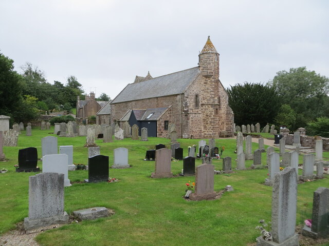
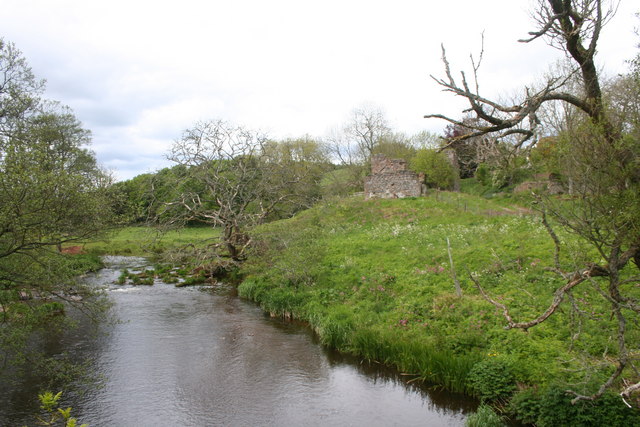
Chapel Bog is not only a natural sanctuary but also holds historical significance. Nestled within the woodland is an ancient chapel ruin, dating back to the 12th century. This historical landmark adds a touch of mystery and intrigue to the area, attracting history enthusiasts and those interested in exploring the region's past.
Overall, Chapel Bog in Kincardineshire is a captivating and enchanting woodland area, where visitors can immerse themselves in nature, discover a wealth of biodiversity, and uncover the remnants of a bygone era.
If you have any feedback on the listing, please let us know in the comments section below.
Chapel Bog Images
Images are sourced within 2km of 56.864143/-2.3496734 or Grid Reference NO7874. Thanks to Geograph Open Source API. All images are credited.
Chapel Bog is located at Grid Ref: NO7874 (Lat: 56.864143, Lng: -2.3496734)
Unitary Authority: Aberdeenshire
Police Authority: North East
What 3 Words
///curvy.flip.recliner. Near Inverbervie, Aberdeenshire
Nearby Locations
Related Wikis

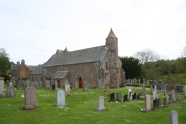
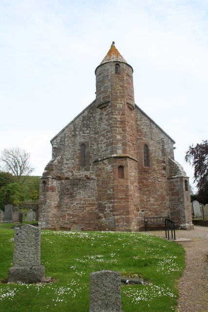
Arbuthnott Parish Kirk
Arbuthnott Parish Kirk is a church in Arbuthnott, Aberdeenshire, Scotland. Now a Category A listed building, it was built in at least the 13th century...

Arbuthnott
Arbuthnott (Scottish Gaelic: Obar Bhuadhnait, "mouth of the Buadhnat") is a hamlet and parish in the Howe of the Mearns, a low-lying agricultural district...

Allardice Castle
Allardice Castle (also spelled Allardyce) is a sixteenth-century manor house in Kincardineshire, Scotland. It is approximately 1.5 kilometres north-west...

Fordoun railway station
Fordoun railway station served the village of Fordoun, Aberdeenshire, Scotland from 1849 to 1956 on the Aberdeen Railway. == History == The station opened...
Nearby Amenities
Located within 500m of 56.864143,-2.3496734Have you been to Chapel Bog?
Leave your review of Chapel Bog below (or comments, questions and feedback).