Den of Davo

Valley in Kincardineshire

Scotland

Den of Davo

Entering the woodland surrounding Banff Burn Photographer is standing on the roadway verge.
Entering the woodland surrounding Banff Burn Credit: C Michael Hogan

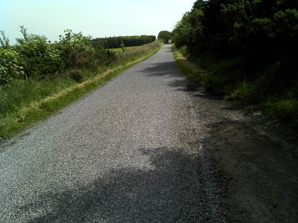
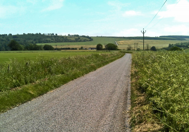
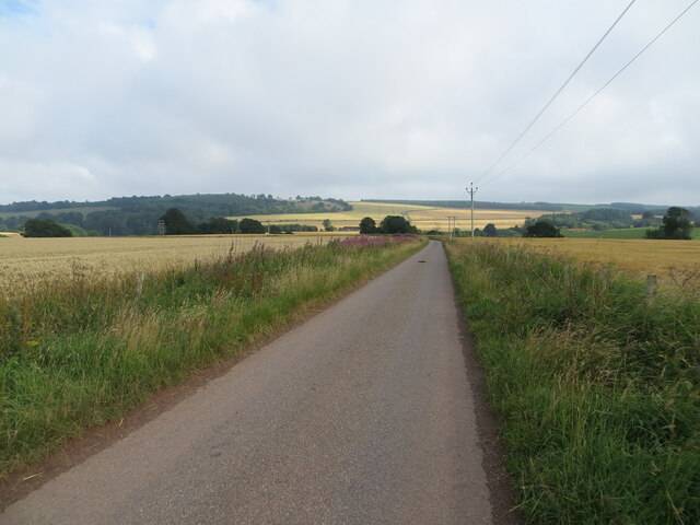
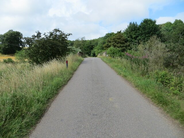
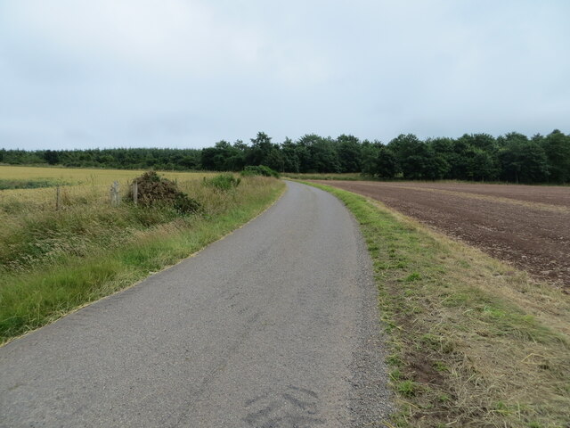
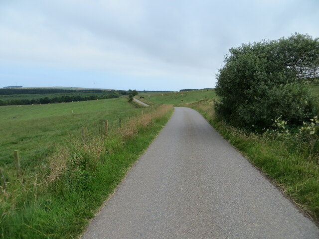
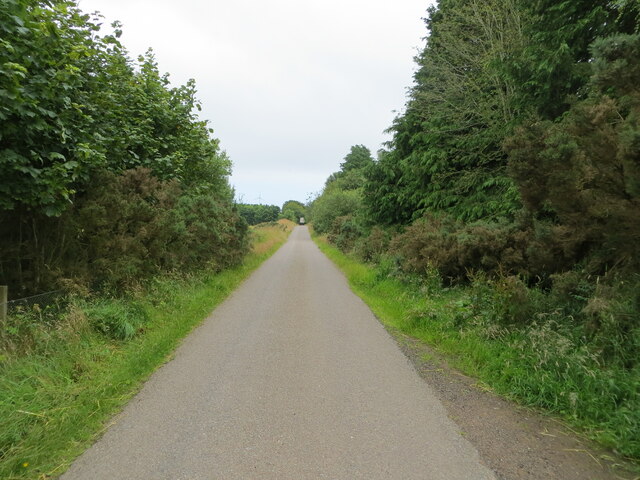
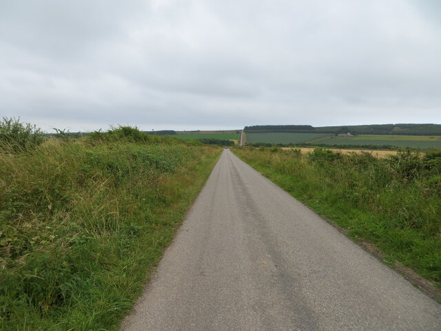
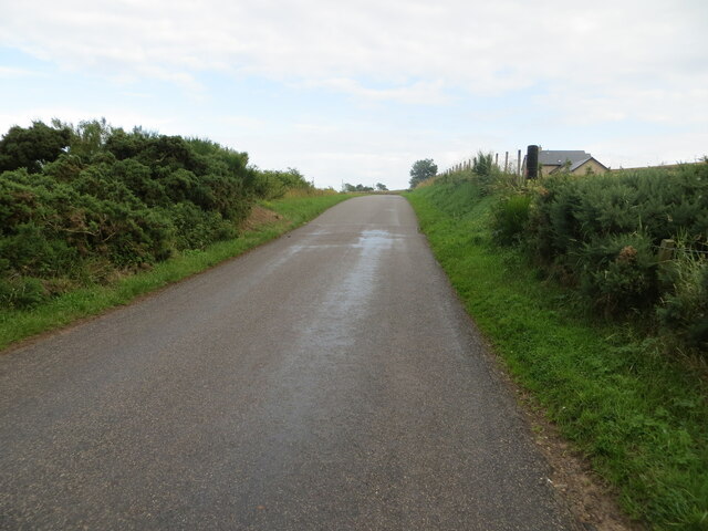
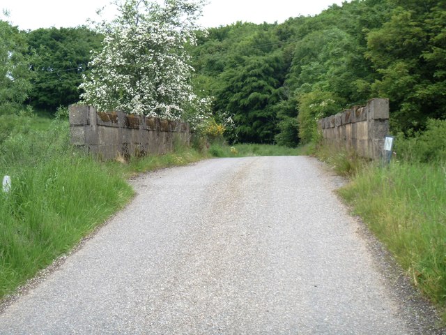
Den of Davo, located in Kincardineshire, Scotland, is a picturesque valley nestled amidst rolling hills and lush greenery. This natural haven offers a serene and tranquil escape from the hustle and bustle of everyday life. The valley is situated near the village of Drumoak and is easily accessible by road.

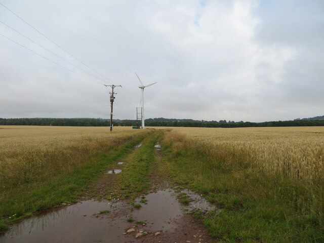
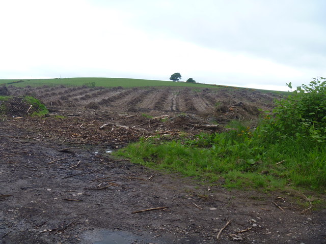
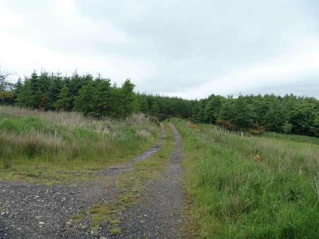
Den of Davo is renowned for its breathtaking beauty, with its dense forests, meandering streams, and towering cliffs. The valley is home to a diverse range of flora and fauna, making it a popular destination for nature enthusiasts and wildlife lovers. Visitors can expect to see a variety of bird species, including buzzards, herons, and woodpeckers, as well as red squirrels and deer.

The valley offers several walking trails, allowing visitors to explore its natural wonders at their own pace. The trails wind through ancient woodlands, offering stunning views of the surrounding countryside. One of the highlights of Den of Davo is the impressive waterfall, cascading down from a height and creating a mesmerizing spectacle.

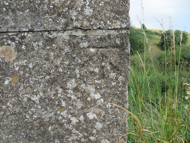
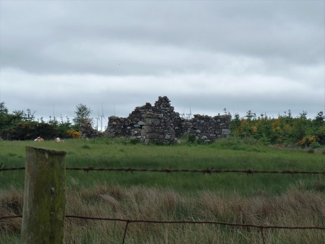
In addition to its natural beauty, Den of Davo also has historical significance. The valley was once a site for traditional mills and sawmills, which played a vital role in the local economy. Today, remnants of these mills can still be seen, adding an element of history and charm to the area.

Den of Davo is a remarkable destination for those seeking tranquility, natural beauty, and a touch of history. Whether exploring the walking trails, observing wildlife, or simply enjoying the serene atmosphere, visitors are sure to be captivated by the valley's allure.

If you have any feedback on the listing, please let us know in the comments section below.

Den of Davo Images

Images are sourced within 2km of 56.856921/-2.3619539 or Grid Reference NO7874. Thanks to Geograph Open Source API. All images are credited.

Entering the woodland surrounding Banff Burn Photographer is standing on the roadway verge.
Entering the woodland surrounding Banff Burn
Photographer is standing on the roadway verge.
Road scene east of Mill of Garvock Photographer is standing near the roadway verge.
Road scene east of Mill of Garvock
Photographer is standing near the roadway verge.
Track through cultivated field giving access to wind turbines Looking north-eastward.
Track through cultivated field giving access to wind turbines
Looking north-eastward.
Minor road  between Townhead and Whitefield Looking south-eastward.
Minor road between Townhead and Whitefield
Looking south-eastward.
Minor road and bridge crossing Bervie Water Looking north-westward.
Minor road and bridge crossing Bervie Water
Looking north-westward.
Minor road approaching Banff Wood Looking south-eastward.
Minor road approaching Banff Wood
Looking south-eastward.
Minor road near to Banff Looking south-eastward.
Minor road near to Banff
Looking south-eastward.
Tree enclosed minor road near Thief Slack Looking south-eastward.
Tree enclosed minor road near Thief Slack
Looking south-eastward.
Minor road at Jack's Corse Looking westward.
Minor road at Jack's Corse
Looking westward.
Minor road heading towards Sheriff's Kettle and Brownieleys Looking eastward.
Minor road heading towards Sheriff's Kettle and Brownieleys
Looking eastward.
Road between Sootywells and Denhead Looking south-eastward.
Road between Sootywells and Denhead
Looking south-eastward.
Ordnance Survey Cut Mark This mark can be found on the parapet wall of a bridge over Bervie Water near to Whitefield.
The recorded details give a height of 46.13 metres above sea level.
For more detail see : <span class="nowrap"><a title="https://www.bench-marks.org.uk/bm162418" rel="nofollow ugc noopener" href="https://www.bench-marks.org.uk/bm162418">Link</a><img style="margin-left:2px;" alt="External link" title="External link - shift click to open in new window" src="https://s1.geograph.org.uk/img/external.png" width="10" height="10"/></span>
Ordnance Survey Cut Mark
This mark can be found on the parapet wall of a bridge over Bervie Water near to Whitefield. The recorded details give a height of 46.13 metres above sea level. For more detail see : LinkExternal link
Recently felled This patch of woodland has recently been logged.
Recently felled
This patch of woodland has recently been logged.
Track to Banff The track leaves the minor road and runs through the woodland to Banff Farm.
Track to Banff
The track leaves the minor road and runs through the woodland to Banff Farm.
Ruin in the field Seen from the minor road.
Ruin in the field
Seen from the minor road.
Track to Banff Farm The track leaves the minor road and heads to Banff Farm.
Track to Banff Farm
The track leaves the minor road and heads to Banff Farm.
Over Bervie Water The bridge carries the minor road over Bervie Water.
Over Bervie Water
The bridge carries the minor road over Bervie Water.
Bervie Water [1] Looking upstream from the bridge.
Bervie Water [1]
Looking upstream from the bridge.
Show me another place!

Den of Davo is located at Grid Ref: NO7874 (Lat: 56.856921, Lng: -2.3619539)

Unitary Authority: Aberdeenshire

Police Authority: North East

Also known as: Woodburn Den

What 3 Words

///slept.invents.truth. Near Inverbervie, Aberdeenshire

Related Wikis

Arbuthnott Parish Kirk

Arbuthnott Parish Kirk is a church in Arbuthnott, Aberdeenshire, Scotland. Now a Category A listed building, it was built in at least the 13th century...

Arbuthnott

Arbuthnott (Scottish Gaelic: Obar Bhuadhnait, "mouth of the Buadhnat") is a hamlet and parish in the Howe of the Mearns, a low-lying agricultural district...

Fordoun railway station

Fordoun railway station served the village of Fordoun, Aberdeenshire, Scotland from 1849 to 1956 on the Aberdeen Railway. == History == The station opened...

Fordoun

Fordoun (Scottish Gaelic: Fordun) (Pronounced "For-Dun") is a parish and village in Aberdeenshire, Scotland. Fothirdun (possibly "the lower place"), as...

Nearby Amenities

Located within 500m of 56.856921,-2.3619539
Power: pole
Lat/Long: 56.8605664/-2.3599076
Power: pole
Lat/Long: 56.8602952/-2.3608261
Power: pole
Lat/Long: 56.8599948/-2.3618416
Power: pole
Lat/Long: 56.8595439/-2.363358
Power: pole
Lat/Long: 56.8590305/-2.3646553
Power: pole
Lat/Long: 56.8587472/-2.3656196
Power: pole
Lat/Long: 56.8584883/-2.3665068
Power: pole
Lat/Long: 56.8582102/-2.3674354
Power: pole
Lat/Long: 56.8579043/-2.3684755
Power: pole
Lat/Long: 56.857576/-2.3695909
Lower Whitefield
Place: farm
Lat/Long: 56.860864/-2.3593488
The data included in this document is from www.openstreetmap.org. The data is made available under ODbL.

Have you been to Den of Davo?

Leave your review of Den of Davo below (or comments, questions and feedback).