Chapelwaird Wood
Wood, Forest in Kincardineshire
Scotland
Chapelwaird Wood
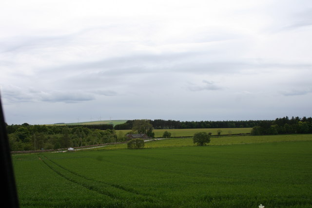
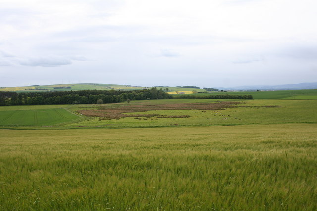
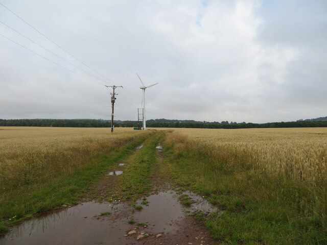
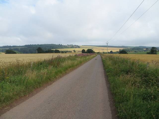
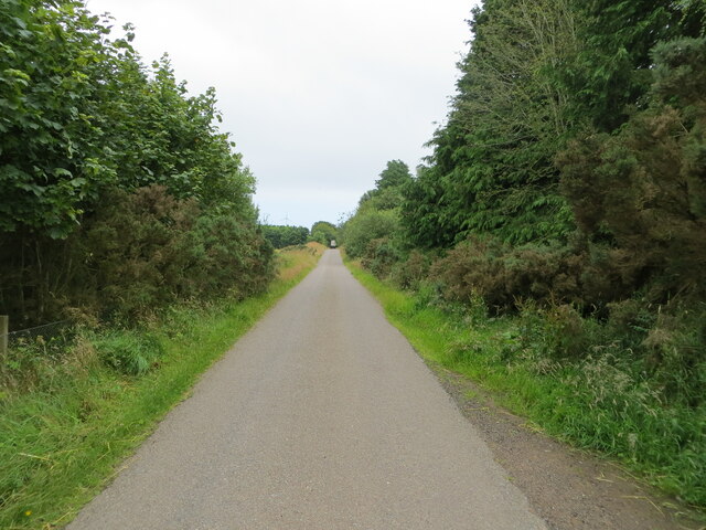
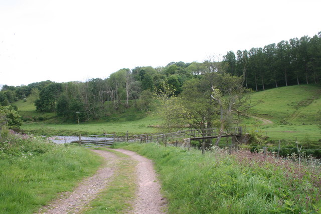
Chapelwaird Wood is a picturesque forest located in Kincardineshire, Scotland. Covering an area of approximately 200 acres, it is renowned for its natural beauty and diverse wildlife. The wood is situated on the western slopes of the Grampian Mountains, providing visitors with stunning panoramic views of the surrounding countryside.
The forest is predominantly composed of native tree species, including Scots pine, oak, and birch. These trees create a dense canopy, offering a tranquil and shaded environment for visitors to explore. The forest floor is carpeted with a variety of plants and wildflowers, adding to its visual appeal.
Chapelwaird Wood is home to a wide range of wildlife, making it a popular spot for nature enthusiasts. Visitors may catch a glimpse of red deer, roe deer, and various bird species such as woodpeckers and owls. Additionally, the forest provides a habitat for smaller creatures like squirrels and rabbits.
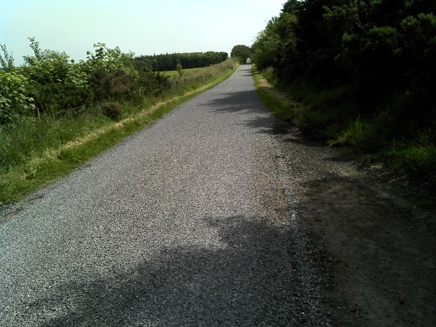
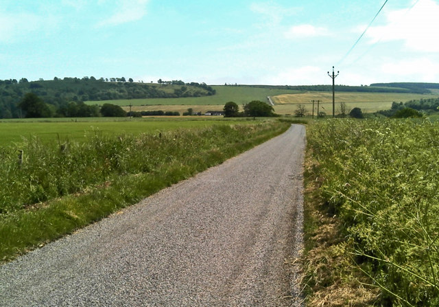
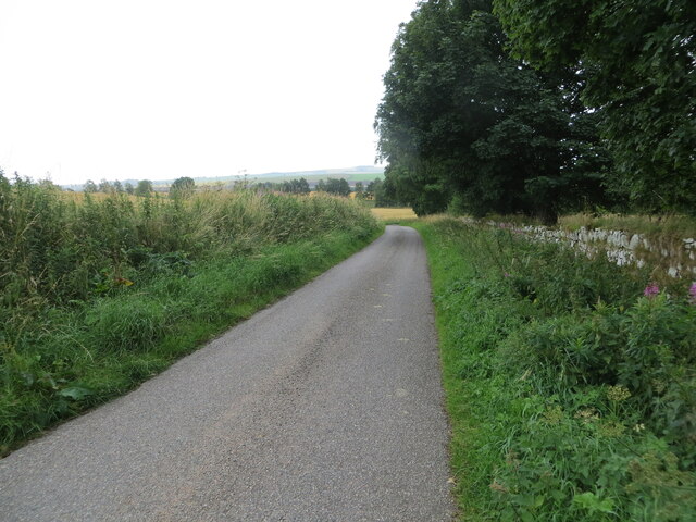
For those looking to explore the wood, there are several walking trails and paths that wind through the forest, allowing visitors to immerse themselves in its natural splendor. These trails vary in length and difficulty, catering to both casual walkers and more experienced hikers.
Chapelwaird Wood offers a peaceful escape from the hustle and bustle of everyday life, providing visitors with the opportunity to connect with nature and enjoy the serenity of the Scottish countryside. Whether it's a leisurely stroll or an adventurous hike, this woodland paradise is sure to enchant all who visit.
If you have any feedback on the listing, please let us know in the comments section below.
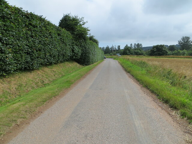
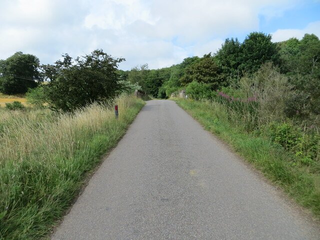
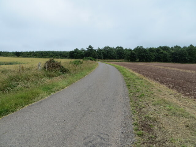
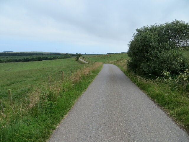
Chapelwaird Wood Images
Images are sourced within 2km of 56.862939/-2.3498262 or Grid Reference NO7874. Thanks to Geograph Open Source API. All images are credited.
Chapelwaird Wood is located at Grid Ref: NO7874 (Lat: 56.862939, Lng: -2.3498262)
Unitary Authority: Aberdeenshire
Police Authority: North East
What 3 Words
///quickly.smart.ramps. Near Inverbervie, Aberdeenshire
Nearby Locations
Related Wikis

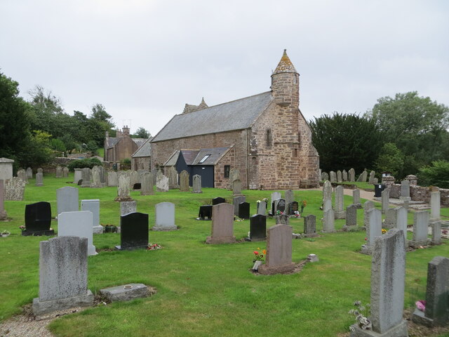
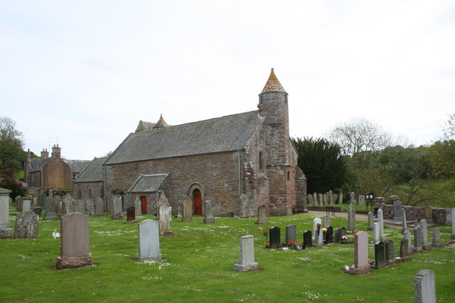
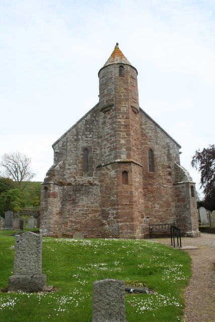
Arbuthnott Parish Kirk
Arbuthnott Parish Kirk is a church in Arbuthnott, Aberdeenshire, Scotland. Now a Category A listed building, it was built in at least the 13th century...

Arbuthnott
Arbuthnott (Scottish Gaelic: Obar Bhuadhnait, "mouth of the Buadhnat") is a hamlet and parish in the Howe of the Mearns, a low-lying agricultural district...

Allardice Castle
Allardice Castle (also spelled Allardyce) is a sixteenth-century manor house in Kincardineshire, Scotland. It is approximately 1.5 kilometres north-west...

Fordoun railway station
Fordoun railway station served the village of Fordoun, Aberdeenshire, Scotland from 1849 to 1956 on the Aberdeen Railway. == History == The station opened...
Nearby Amenities
Located within 500m of 56.862939,-2.3498262Have you been to Chapelwaird Wood?
Leave your review of Chapelwaird Wood below (or comments, questions and feedback).