Charingworth

Settlement in Gloucestershire Cotswold

England

Charingworth

Lane to Goose Hill From the hamlet of Charingworth.
Lane to Goose Hill Credit: Trevor Harris

Charingworth is a small village located in the county of Gloucestershire, England. Situated in the picturesque Cotswold Hills, it is surrounded by an idyllic rural landscape. The village is part of the larger parish of Ebrington and is nestled within the North Cotswolds Area of Outstanding Natural Beauty.

Charingworth is notable for its charming stone cottages and traditional architecture, which add to its quintessential English countryside appeal. The village is home to a close-knit community, with a population of around 100 residents. Its small size contributes to a peaceful and tranquil atmosphere, making it an ideal retreat for those seeking a break from the hustle and bustle of city life.

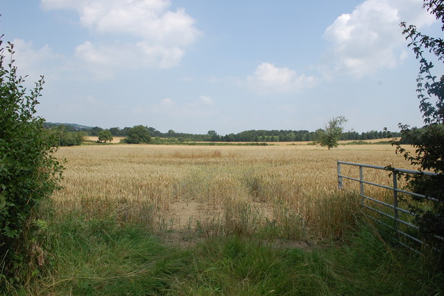
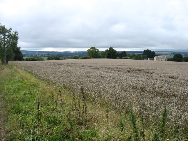
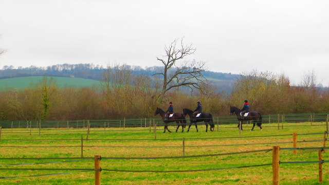
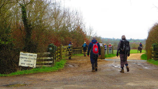
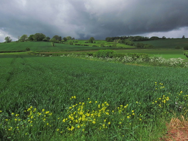
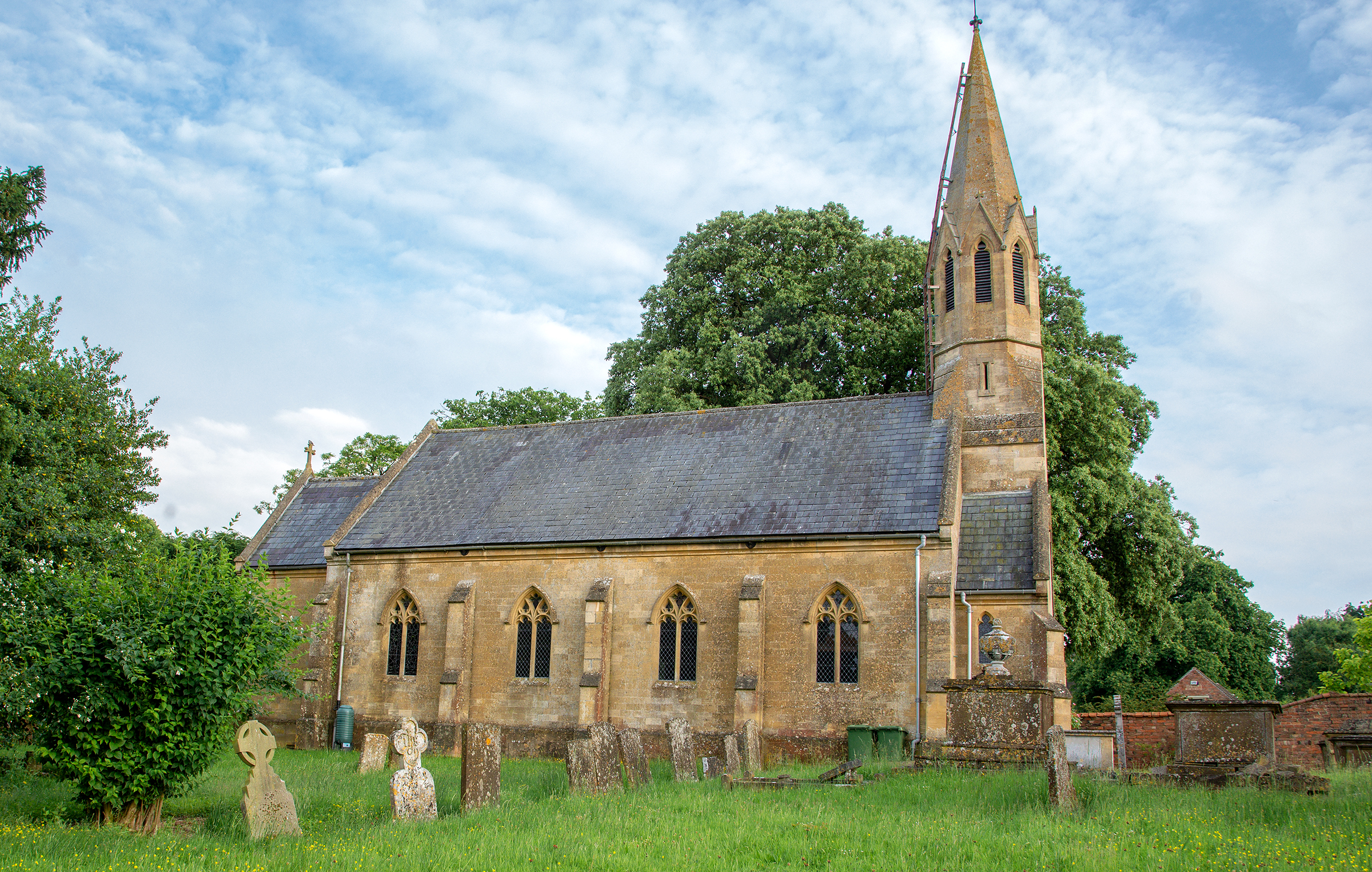
The village is primarily residential, with a scattering of farms and agricultural fields in the surrounding area. The nearby countryside offers stunning views and opportunities for outdoor activities, such as hiking, cycling, and birdwatching. Charingworth is also well-known for its historic church, St. Christopher's, which dates back to the 12th century and is a significant architectural landmark in the region.

Although Charingworth does not have its own shops or amenities, it benefits from its proximity to neighboring villages and towns. The village is located just a short drive away from the market town of Chipping Campden, where residents can find a range of services, including shops, restaurants, and healthcare facilities.

Overall, Charingworth offers a peaceful and picturesque setting for those looking to escape to the countryside while still enjoying easy access to nearby amenities.

If you have any feedback on the listing, please let us know in the comments section below.
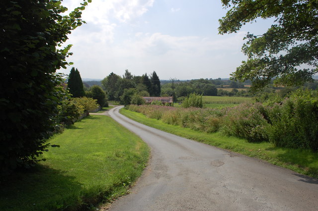
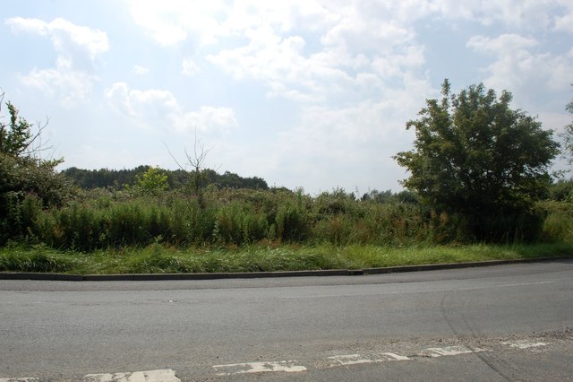
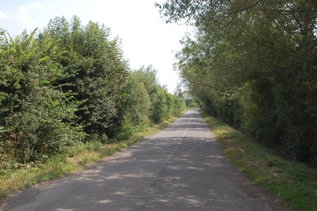
Charingworth Images

Images are sourced within 2km of 52.053302/-1.706397 or Grid Reference SP2039. Thanks to Geograph Open Source API. All images are credited.

Lane to Goose Hill From the hamlet of Charingworth.
Lane to Goose Hill
From the hamlet of Charingworth.
View at road junction near Charingworth Grange
Tankards Hill Looking back along the road towards Stretton-on-Fosse.
Tankards Hill
Looking back along the road towards Stretton-on-Fosse.
Field near Blakemore Farm Stables
Farmland above Charingworth
Driveway at Little Charingworth Stud
Horses at Little Charingworth Stud
Start of driveway to Compton Scorpion
Threatening clouds towards Ebrington Hill
Fields north of Nash's Lane Nash's Lane is a bridleway running from Ebrington towards Ilmington.
On the horizon to the left can be seen the two transmitter towers in <a href="https://www.geograph.org.uk/gridref/SP1942">SP1942</a>.
Fields north of Nash's Lane
Nash's Lane is a bridleway running from Ebrington towards Ilmington. On the horizon to the left can be seen the two transmitter towers in SP1942.
Farm track east of Nash's Lane Nash's Lane is a bridleway running from Ebrington towards Ilmington.
Farm track east of Nash's Lane
Nash's Lane is a bridleway running from Ebrington towards Ilmington.
View west towards Ebrington Hill Looking west from Nash's Lane, a bridleway running from Ebrington towards Ilmington.
View west towards Ebrington Hill
Looking west from Nash's Lane, a bridleway running from Ebrington towards Ilmington.
Farm building and wheat field View east from Nash's Lane, a bridleway running from Ebrington towards Ilmington.
Farm building and wheat field
View east from Nash's Lane, a bridleway running from Ebrington towards Ilmington.
Bridleway towards Ilmington View north down the bridleway.
On the horizon can be seen the two transmitter towers in <a href="https://www.geograph.org.uk/gridref/SP1942">SP1942</a>.
Bridleway towards Ilmington
View north down the bridleway. On the horizon can be seen the two transmitter towers in SP1942.
Wheat field east of the bridleway A field of ripening wheat to the east of the bridleway running from Ebrington towards Ilmington.
On the horizon to the left can be seen the two transmitter towers in <a href="https://www.geograph.org.uk/gridref/SP1942">SP1942</a>.
Wheat field east of the bridleway
A field of ripening wheat to the east of the bridleway running from Ebrington towards Ilmington. On the horizon to the left can be seen the two transmitter towers in SP1942.
Farm track off Nash's Lane View NNW from the bridleway from Ebrington towards Ilmington.
Farm track off Nash's Lane
View NNW from the bridleway from Ebrington towards Ilmington.
Fields north east of Nash's Lane Nash's Lane is a bridleway running from Ebrington towards Ilmington.
Fields north east of Nash's Lane
Nash's Lane is a bridleway running from Ebrington towards Ilmington.
War memorial, Ebrington Situated in May Lane.
War memorial, Ebrington
Situated in May Lane.
Show me another place!

Charingworth is located at Grid Ref: SP2039 (Lat: 52.053302, Lng: -1.706397)

Administrative County: Gloucestershire

District: Cotswold

Police Authority: Gloucestershire

What 3 Words

///lecturing.nodded.smaller. Near Chipping Campden, Gloucestershire

Nearby Locations

Charingworth Goose Hill

Related Wikis

Ebrington

Ebrington (known locally as Yabberton or Yubberton) is a village and civil parish in Gloucestershire, England, about 2 miles (3.2 km) from Chipping Campden...

Church of St Eadburga, Ebrington

The Anglican Church of St Eadburga at Ebrington in the Cotswold District of Gloucestershire, England was built in the 13th century. It is a grade I listed...

Ebrington Manor

Ebrington Manor is a grade II listed manor house in the parish of Ebrington in Gloucestershire, England. Since 1476 it has been a seat of the Fortescue...

Stretton-on-Fosse

Stretton-on-Fosse is a village in the Stratford District in Warwickshire, England. It is situated between the towns of Moreton-in-Marsh and Shipston-on...

Upper Ditchford

Upper Ditchford is an abandoned village to the west of the Fosse Way between Moreton-in-Marsh and Stretton on Fosse, now in the county of Gloucestershire...

Stretton-on-Fosse railway station

Stretton-on-Fosse railway station was a railway station which served the village of Stretton-on-Fosse, Warwickshire, England. It was located north-east...

Ilmington Downs

The Ilmington Downs are a large open area situated in Warwickshire, just above the small village of Ilmington. It is the highest point in Warwickshire...

Blockley railway station

Blockley railway station served the village of Blockley, Gloucestershire, England from 1853 to 1966 on the Oxford, Worcester and Wolverhampton Railway...

Nearby Amenities

Located within 500m of 52.053302,-1.706397
Braxfield House
Power: pole
Transformer: distribution
Voltage Primary: 11000
Lat/Long: 52.05102/-1.7065991
Power: pole
Lat/Long: 52.0511458/-1.7068995
Power: pole
Lat/Long: 52.0520888/-1.7074011
Power: pole
Lat/Long: 52.0527428/-1.7076854
Charingworth Manor
Power: pole
Transformer: distribution
Voltage Primary: 11000
Lat/Long: 52.0533976/-1.7085376
Power: pole
Lat/Long: 52.0535692/-1.7091002
Charingworth Chase
Power: pole
Transformer: distribution
Voltage Primary: 11000
Lat/Long: 52.0549785/-1.7084277
Power: pole
Lat/Long: 52.0550783/-1.7092806
Power: pole
Lat/Long: 52.0551785/-1.7101657
Power: pole
Lat/Long: 52.0542809/-1.7097433
Location Transition: yes
Power: pole
Lat/Long: 52.0546899/-1.7099391
Charingworth
Power: pole
Transformer: distribution
Voltage Primary: 11000
Lat/Long: 52.0551987/-1.7129016
The data included in this document is from www.openstreetmap.org. The data is made available under ODbL.

Have you been to Charingworth?

Leave your review of Charingworth below (or comments, questions and feedback).