Goose Hill

Hill, Mountain in Gloucestershire Cotswold

England

Goose Hill

Lane to Goose Hill From the hamlet of Charingworth.
Lane to Goose Hill Credit: Trevor Harris

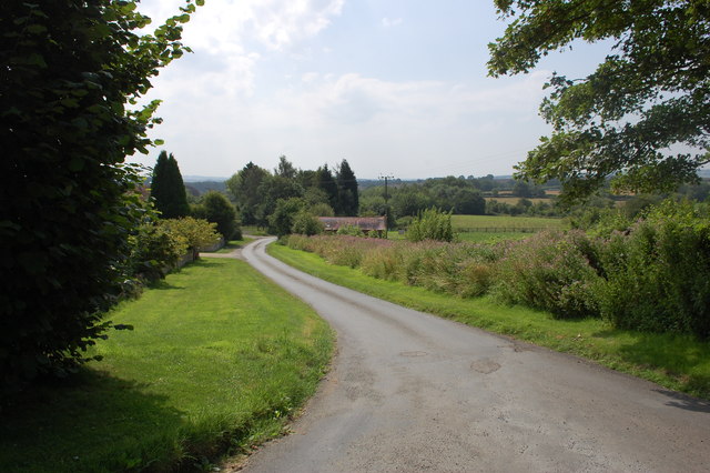
Goose Hill is a prominent hill located in the county of Gloucestershire, in the southwestern part of England. Situated near the village of Painswick, Goose Hill is a distinctive landmark in the picturesque Cotswolds region.

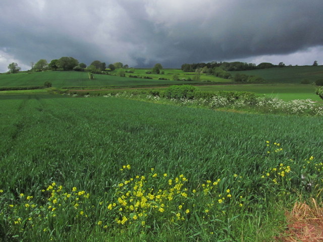
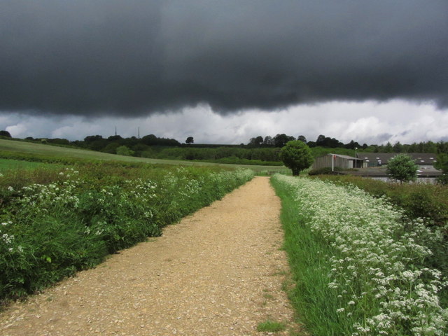
Rising to an elevation of approximately 244 meters (800 feet), Goose Hill offers breathtaking panoramic views of the surrounding countryside. The hill is characterized by its gently sloping sides and a rounded summit, covered with lush green vegetation and dotted with occasional trees.

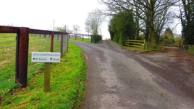
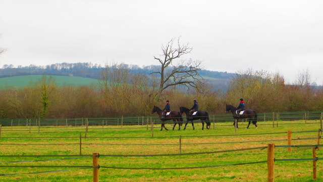
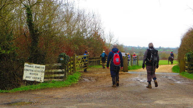
The hill is accessible via footpaths and is a popular destination for hikers and nature enthusiasts. Its location within the Cotswolds Area of Outstanding Natural Beauty makes it a favored spot for locals and visitors alike. From the summit of Goose Hill, on a clear day, one can enjoy breathtaking vistas that span across the Cotswold Hills, providing a stunning backdrop of rolling green fields, charming villages, and historic landmarks.

Goose Hill also holds historical significance as it is believed to have been inhabited since ancient times. Archaeological evidence suggests that the area was settled during the Iron Age, and remnants of ancient fortifications can still be found on the hill. These historical remnants, combined with the natural beauty of the surroundings, make Goose Hill a fascinating destination for those interested in both history and nature.

In conclusion, Goose Hill is a picturesque and historically significant hill located in Gloucestershire, offering stunning views of the Cotswolds countryside. Its accessibility and natural beauty make it a popular destination for outdoor enthusiasts and history lovers alike.

If you have any feedback on the listing, please let us know in the comments section below.

Goose Hill Images

Images are sourced within 2km of 52.056677/-1.7066299 or Grid Reference SP2039. Thanks to Geograph Open Source API. All images are credited.

Lane to Goose Hill From the hamlet of Charingworth.
Lane to Goose Hill
From the hamlet of Charingworth.
View at road junction near Charingworth Grange
Field near Blakemore Farm Stables
Farmland above Charingworth
Driveway at Little Charingworth Stud
Horses at Little Charingworth Stud
Start of driveway to Compton Scorpion
Threatening clouds towards Ebrington Hill
Threatening clouds, on track through Foxcote Farm near Ilmington
Campden Road, Ebrington Campden Road west out of Ebrington.
Campden Road, Ebrington
Campden Road west out of Ebrington.
Fields north of Nash's Lane Nash's Lane is a bridleway running from Ebrington towards Ilmington.
On the horizon to the left can be seen the two transmitter towers in <a href="https://www.geograph.org.uk/gridref/SP1942">SP1942</a>.
Fields north of Nash's Lane
Nash's Lane is a bridleway running from Ebrington towards Ilmington. On the horizon to the left can be seen the two transmitter towers in SP1942.
Farm track east of Nash's Lane Nash's Lane is a bridleway running from Ebrington towards Ilmington.
Farm track east of Nash's Lane
Nash's Lane is a bridleway running from Ebrington towards Ilmington.
View west towards Ebrington Hill Looking west from Nash's Lane, a bridleway running from Ebrington towards Ilmington.
View west towards Ebrington Hill
Looking west from Nash's Lane, a bridleway running from Ebrington towards Ilmington.
Farm building and wheat field View east from Nash's Lane, a bridleway running from Ebrington towards Ilmington.
Farm building and wheat field
View east from Nash's Lane, a bridleway running from Ebrington towards Ilmington.
Bridleway towards Ilmington View north down the bridleway.
On the horizon can be seen the two transmitter towers in <a href="https://www.geograph.org.uk/gridref/SP1942">SP1942</a>.
Bridleway towards Ilmington
View north down the bridleway. On the horizon can be seen the two transmitter towers in SP1942.
Wheat field east of the bridleway A field of ripening wheat to the east of the bridleway running from Ebrington towards Ilmington.
On the horizon to the left can be seen the two transmitter towers in <a href="https://www.geograph.org.uk/gridref/SP1942">SP1942</a>.
Wheat field east of the bridleway
A field of ripening wheat to the east of the bridleway running from Ebrington towards Ilmington. On the horizon to the left can be seen the two transmitter towers in SP1942.
View NNW from the bridleway Looking NNW from the bridleway from Ebrington towards Ilmington.
View NNW from the bridleway
Looking NNW from the bridleway from Ebrington towards Ilmington.
Farm track off Nash's Lane View NNW from the bridleway from Ebrington towards Ilmington.
Farm track off Nash's Lane
View NNW from the bridleway from Ebrington towards Ilmington.
Show me another place!

Goose Hill is located at Grid Ref: SP2039 (Lat: 52.056677, Lng: -1.7066299)

Administrative County: Gloucestershire

District: Cotswold

Police Authority: Gloucestershire

What 3 Words

///protects.lump.graph. Near Chipping Campden, Gloucestershire

Nearby Locations

Charingworth Goose Hill

Related Wikis

Ebrington

Ebrington (known locally as Yabberton or Yubberton) is a village and civil parish in Gloucestershire, England, about 2 miles (3.2 km) from Chipping Campden...

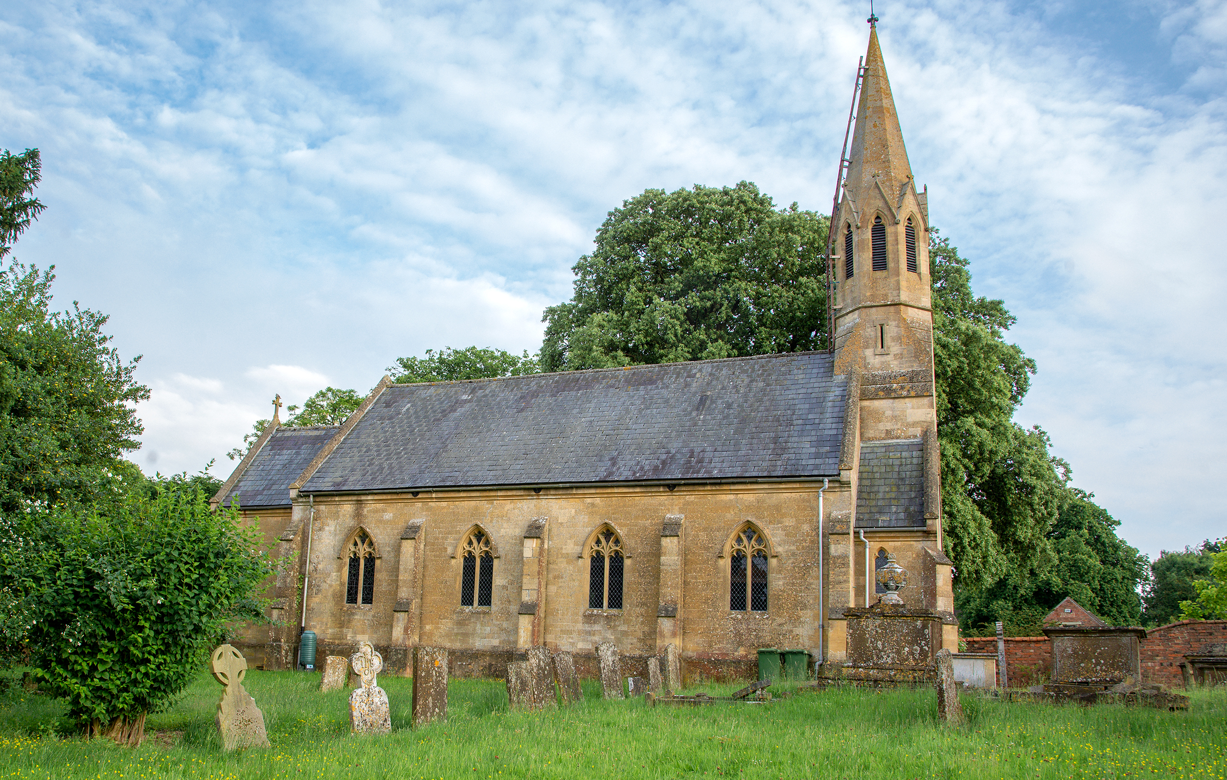
Church of St Eadburga, Ebrington

The Anglican Church of St Eadburga at Ebrington in the Cotswold District of Gloucestershire, England was built in the 13th century. It is a grade I listed...

Ebrington Manor

Ebrington Manor is a grade II listed manor house in the parish of Ebrington in Gloucestershire, England. Since 1476 it has been a seat of the Fortescue...

Stretton-on-Fosse

Stretton-on-Fosse is a village in the Stratford District in Warwickshire, England. It is situated between the towns of Moreton-in-Marsh and Shipston-on...

Ilmington Downs

The Ilmington Downs are a large open area situated in Warwickshire, just above the small village of Ilmington. It is the highest point in Warwickshire...

Stretton-on-Fosse railway station

Stretton-on-Fosse railway station was a railway station which served the village of Stretton-on-Fosse, Warwickshire, England. It was located north-east...

Upper Ditchford

Upper Ditchford is an abandoned village to the west of the Fosse Way between Moreton-in-Marsh and Stretton on Fosse, now in the county of Gloucestershire...

Ebrington Hill

Ebrington Hill is a hill in Warwickshire, England, which at 261 m (856 ft) is the highest in the county. It is situated between the villages of Ebrington...

Nearby Amenities

Located within 500m of 52.056677,-1.7066299
The Chestnuts
Power: pole
Transformer: distribution
Voltage Primary: 11000
Lat/Long: 52.0579233/-1.7003582
Power: pole
Lat/Long: 52.0571716/-1.6997407
Power: pole
Lat/Long: 52.0566534/-1.6999573
The Lodges
Power: pole
Transformer: distribution
Voltage Primary: 11000
Lat/Long: 52.0559479/-1.7003442
Power: pole
Lat/Long: 52.0527428/-1.7076854
Charingworth Manor
Power: pole
Transformer: distribution
Voltage Primary: 11000
Lat/Long: 52.0533976/-1.7085376
Power: pole
Lat/Long: 52.0535692/-1.7091002
Charingworth Chase
Power: pole
Transformer: distribution
Voltage Primary: 11000
Lat/Long: 52.0549785/-1.7084277
Power: pole
Lat/Long: 52.0550783/-1.7092806
Power: pole
Lat/Long: 52.0551785/-1.7101657
Power: pole
Lat/Long: 52.0542809/-1.7097433
Location Transition: yes
Power: pole
Lat/Long: 52.0546899/-1.7099391
Charingworth
Power: pole
Transformer: distribution
Voltage Primary: 11000
Lat/Long: 52.0551987/-1.7129016
Location Transition: yes
Power: pole
Lat/Long: 52.0559458/-1.7132476
Power: pole
Lat/Long: 52.0563985/-1.7137773
The data included in this document is from www.openstreetmap.org. The data is made available under ODbL.

Have you been to Goose Hill?

Leave your review of Goose Hill below (or comments, questions and feedback).