Cairn-mon-earn Wood
Wood, Forest in Kincardineshire
Scotland
Cairn-mon-earn Wood
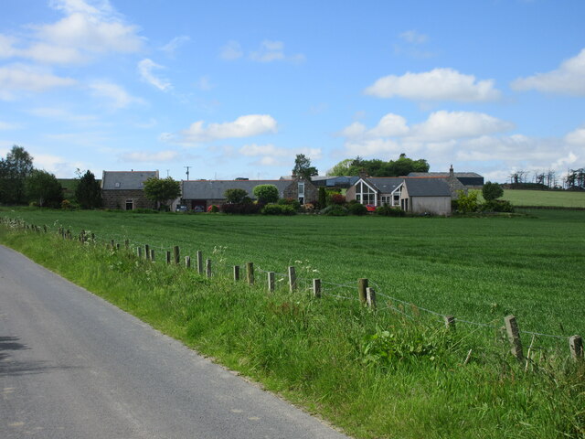
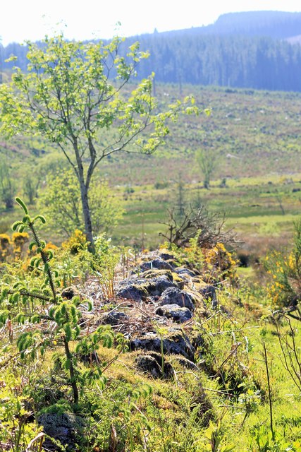
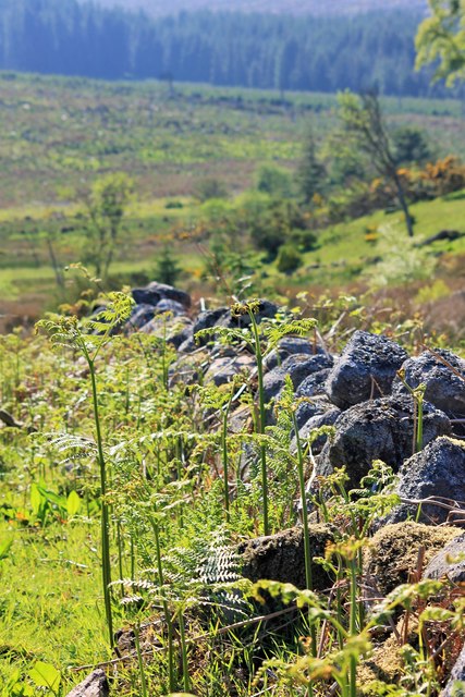
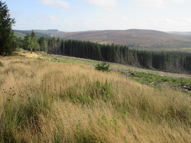
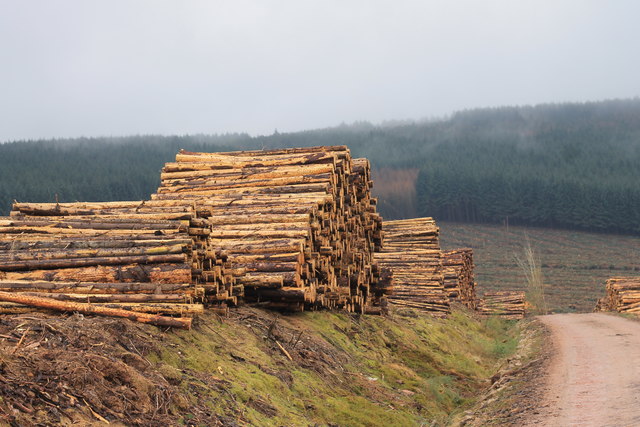
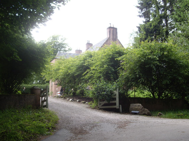
Cairn-mon-earn Wood is a picturesque woodland located in Kincardineshire, Scotland. Situated near the town of Fettercairn, this woodland covers a vast area of approximately 200 acres. The wood is known for its diverse range of flora and fauna, making it a popular destination for nature enthusiasts and hikers.
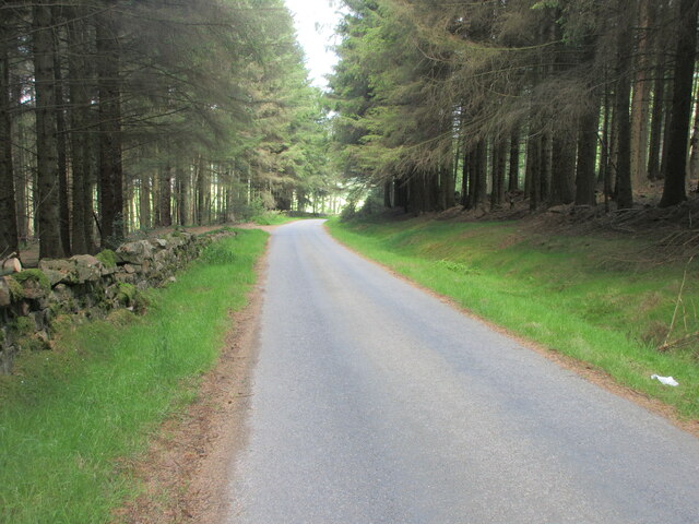
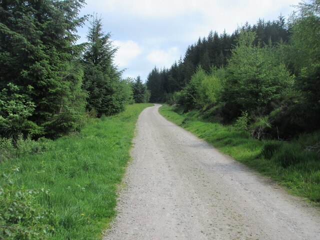
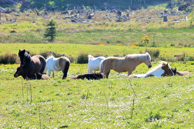
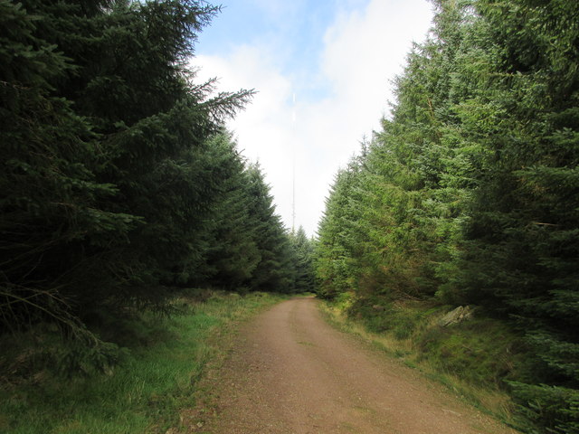
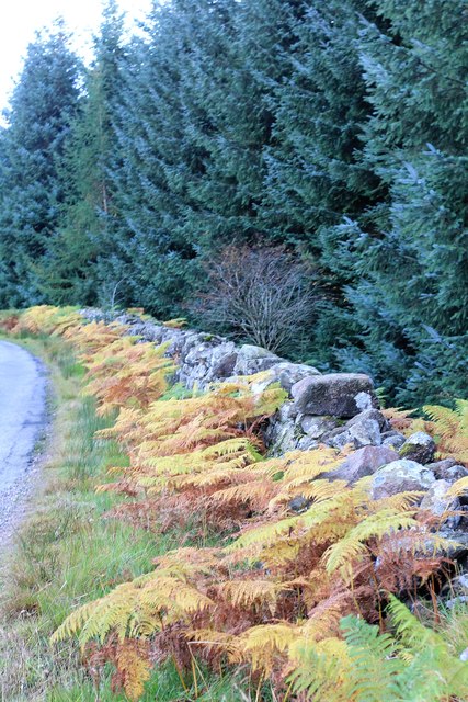
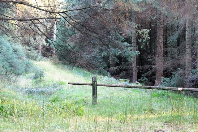
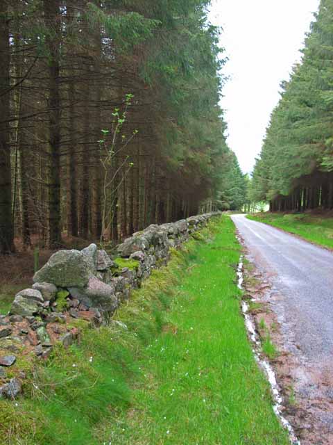
The wood is predominantly composed of native Scottish trees such as oak, birch, and rowan, which create a beautiful and tranquil atmosphere. The canopy of the woods provides shade and shelter for a variety of wildlife, including red squirrels, roe deer, and a wide range of bird species. There are also numerous walking trails that wind through the wood, allowing visitors to explore its natural beauty at their own pace.
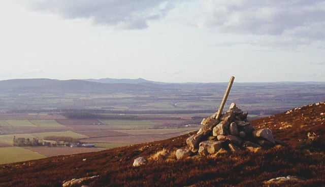
One of the main attractions of Cairn-mon-earn Wood is the presence of ancient cairns, which are prehistoric burial mounds. These cairns are believed to date back thousands of years and add a sense of historical significance to the area. The wood is also home to a diverse range of plant species, including bluebells and wild garlic, which create a stunning display during the spring months.
Visitors to Cairn-mon-earn Wood can enjoy a peaceful and scenic experience, surrounded by nature's beauty. The wood is easily accessible and offers ample parking facilities, making it a popular destination for both locals and tourists. Whether it's a leisurely stroll or a more challenging hike, Cairn-mon-earn Wood provides a wonderful opportunity to connect with nature and explore the rich natural heritage of Kincardineshire.
If you have any feedback on the listing, please let us know in the comments section below.
Cairn-mon-earn Wood Images
Images are sourced within 2km of 57.013585/-2.3642493 or Grid Reference NO7791. Thanks to Geograph Open Source API. All images are credited.


Cairn-mon-earn Wood is located at Grid Ref: NO7791 (Lat: 57.013585, Lng: -2.3642493)
Unitary Authority: Aberdeenshire
Police Authority: North East
What 3 Words
///engulfing.watch.teamed. Near Banchory, Aberdeenshire
Nearby Locations
Related Wikis
Cairn Mon Earn
Cairn Mon Earn or Cairn-mon-earn is a hill in Aberdeenshire, Scotland. == Location == Cairn Mon Earn (OS: Cairn-mon-earn) lies within the Durris Forest...
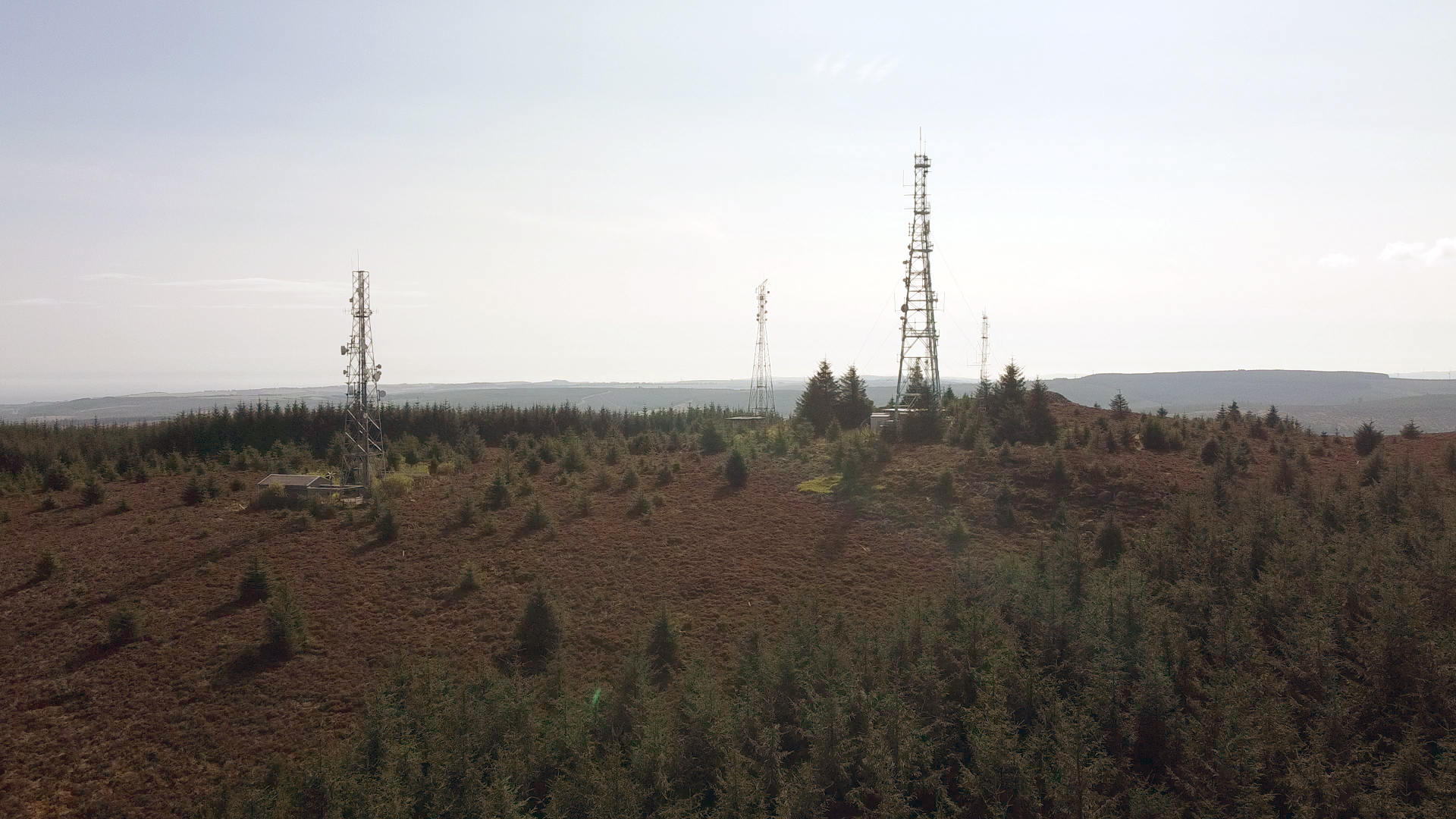
Durris Forest
Durris Forest is a chiefly coniferous forest south of the River Dee approximately three kilometres west of Netherley in Aberdeenshire, Scotland. The A957...
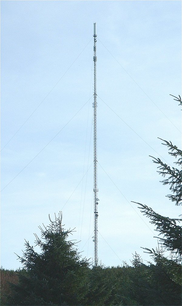
Durris transmitting station
The Durris transmitting station is a broadcasting and telecommunications facility, situated close to the town of Stonehaven, within Durris Forest, within...

Lochton
Lochton is a settlement on the Slug Road in Aberdeenshire, Scotland. Roman legions marched from Raedykes to Normandykes Roman Camp somewhat east of Lochton...

Cryne Corse Mounth
Cryne Corse Mounth is an old droving road which ran south across the high ground from the Dee valley in Aberdeenshire, eastern Scotland. Much of the route...
Mergie
Mergie is a settlement in Aberdeenshire approximately six miles west of Stonehaven, Scotland. Situated in the former Kincardineshire slightly south of...

Kincardine and Mearns
Kincardine and Mearns is one of six area committees of the Aberdeenshire council area in Scotland. It has a population of 38,506 (2001 Census). There...

Rickarton
Rickarton is a settlement in Aberdeenshire. It is situated on the A957 to the northwest of Stonehaven. Rickarton was served by the 105 bus between Stonehaven...
Have you been to Cairn-mon-earn Wood?
Leave your review of Cairn-mon-earn Wood below (or comments, questions and feedback).