Bankhead Wood

Wood, Forest in Berwickshire

Scotland

Bankhead Wood

Access  road  from  Eccles  electricity  sub  station  onto  A697 The sub station is undertaking a major upgrade and expansion
Access road from Eccles electricity sub station onto A697 Credit: Martin Dawes

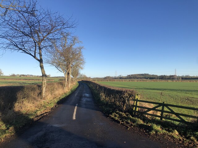
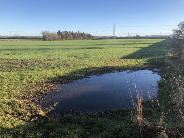
Bankhead Wood is a small but picturesque forest located in the historic county of Berwickshire, Scotland. Situated near the charming village of Chirnside, the wood covers an area of approximately 20 hectares and is a popular destination for nature lovers and outdoor enthusiasts.

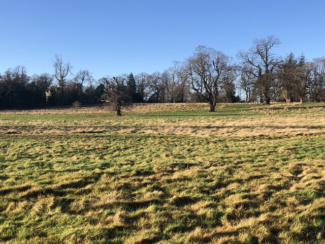
The wood is predominantly composed of native tree species, including oak, birch, and beech, which create a vibrant and diverse ecosystem. The dense canopy provides a habitat for a variety of bird species, such as the great spotted woodpecker and tawny owl, making it an ideal spot for birdwatching.

Bankhead Wood features a network of well-maintained trails that wind through the forest, allowing visitors to explore its natural beauty. These paths are suitable for walkers of all abilities and offer stunning views of the surrounding countryside. Additionally, there are designated areas for picnicking, making it a great place to relax and enjoy the peaceful atmosphere.

The wood is also home to a rich array of flora and fauna, with wildflowers such as bluebells and primroses carpeting the forest floor during springtime. Small mammals, including red squirrels and badgers, can be spotted in the undergrowth, adding to the wood's biodiversity.

Bankhead Wood is managed by the local forestry commission, ensuring its preservation and conservation for future generations. The wood's tranquil setting and natural beauty make it a cherished spot for both locals and tourists alike, offering a peaceful retreat from the hustle and bustle of everyday life.

If you have any feedback on the listing, please let us know in the comments section below.

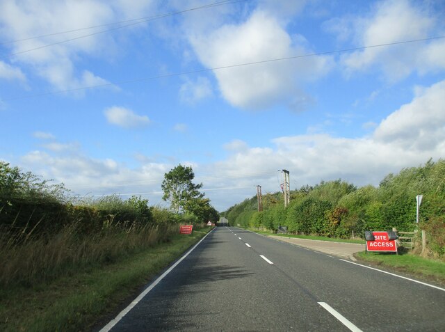
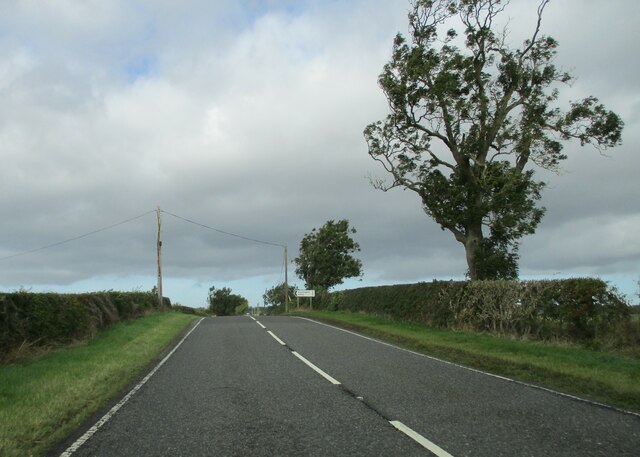
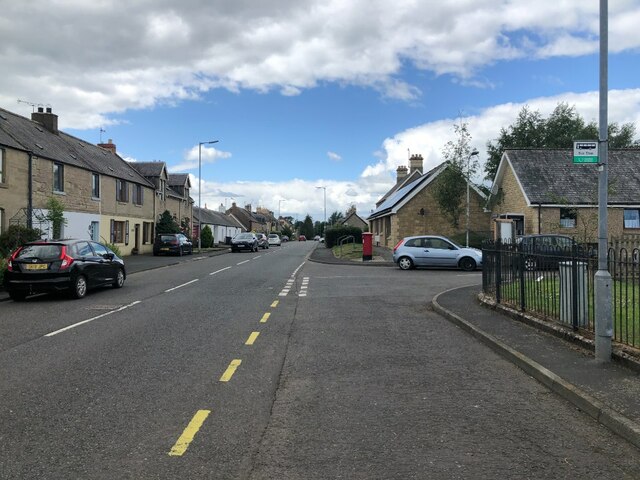
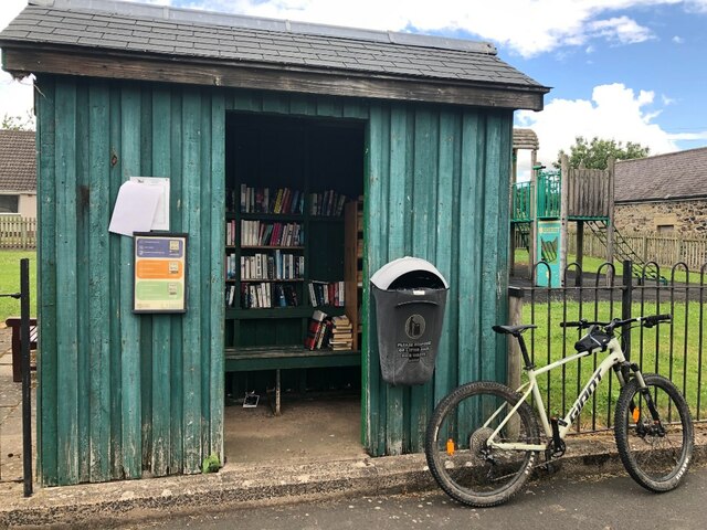
Bankhead Wood Images

Images are sourced within 2km of 55.676361/-2.3519072 or Grid Reference NT7742. Thanks to Geograph Open Source API. All images are credited.

Access  road  from  Eccles  electricity  sub  station  onto  A697 The sub station is undertaking a major upgrade and expansion
Access road from Eccles electricity sub station onto A697
The sub station is undertaking a major upgrade and expansion
Layby  at  Puncheon  Bridge  on  A697 Temporary traffic lights on main road on the line of new overhead power cables from Eccles sub station through to Galashiels
Layby at Puncheon Bridge on A697
Temporary traffic lights on main road on the line of new overhead power cables from Eccles sub station through to Galashiels
Bankhead  Farm  and  cottages  alongside  A697 The farm sign says Eccles Bankhead, Eccles being the village about half a mile SW
Bankhead Farm and cottages alongside A697
The farm sign says Eccles Bankhead, Eccles being the village about half a mile SW
Approaching  offset  crossroads  on  A697
Approaching offset crossroads on A697
Orange  Lane  crossroads  on  A697 A large Agricultural dealership is to the right on Orange Lane B6461
Orange Lane crossroads on A697
A large Agricultural dealership is to the right on Orange Lane B6461
Minor  road  junction  on  the  top  of  the  rise   on  A697 Road to Hassington and Hume. Interesting castle at Hume, its last battle was in 1651 when it fell to Cromwell's troops
Minor road junction on the top of the rise on A697
Road to Hassington and Hume. Interesting castle at Hume, its last battle was in 1651 when it fell to Cromwell's troops
B6461, Leitholm
B6461, Leitholm
Bus shelter, Leitholm Thought it would be a good place to sit and have some lunch, but I soon amassed an audience of very annoyed swallows. There were nests in there as well as the books.  Moved out to the nearby playground and all was peaceful again.  Cannot have too many swallows!
Bus shelter, Leitholm
Thought it would be a good place to sit and have some lunch, but I soon amassed an audience of very annoyed swallows. There were nests in there as well as the books. Moved out to the nearby playground and all was peaceful again. Cannot have too many swallows!
View towards The Cheviot Taken from the site of the house at Ann's Grove. Cloud is forming on the hill as a warm front approaches from the southwest.
View towards The Cheviot
Taken from the site of the house at Ann's Grove. Cloud is forming on the hill as a warm front approaches from the southwest.
Eccles to Birgham road Drumlin country.
Eccles to Birgham road
Drumlin country.
Crossing a drumlin Eccles to Birgham road.
Crossing a drumlin
Eccles to Birgham road.
Drainage near Eccles Field drain between Brae Dunstan and Bartle Hill, a pair of drumlins.
Drainage near Eccles
Field drain between Brae Dunstan and Bartle Hill, a pair of drumlins.
Road towards Fernyrig Farm As Sustrans have all but demolished their network by introducing pointless gaps and taping over their signs, this may or may not still be part of their Route 1.

Does anyone understand the point of Sustrans?
Road towards Fernyrig Farm
As Sustrans have all but demolished their network by introducing pointless gaps and taping over their signs, this may or may not still be part of their Route 1. Does anyone understand the point of Sustrans?
Strip near Grizelrig End of a roadside stripwood.
Strip near Grizelrig
End of a roadside stripwood.
Field near Grizlerig
Road south of Leitholm Typical straight Merse road.
Road south of Leitholm
Typical straight Merse road.
Flooded field corner One of the downsides of winter crops.
Flooded field corner
One of the downsides of winter crops.
Parkland, Anton's Hill
Show me another place!

Bankhead Wood is located at Grid Ref: NT7742 (Lat: 55.676361, Lng: -2.3519072)

Unitary Authority: The Scottish Borders

Police Authority: The Lothians and Scottish Borders

What 3 Words

///silk.corrupted.toothpick. Near Coldstream, Scottish Borders

Nearby Locations

Bankhead Wood

Related Wikis

Leitholm

Leitholm (Scots: Leithowm) is a village in the Scottish Borders area of Scotland, 4 miles (6.4 km) north-west of Coldstream, in the former county of Berwickshire...

Eccles, Scottish Borders

Eccles (Scottish Gaelic: An Eaglais. Brythonic/Welsh: Eglwys) is a village and agricultural parish near Kelso in Berwickshire in the Scottish Borders area...
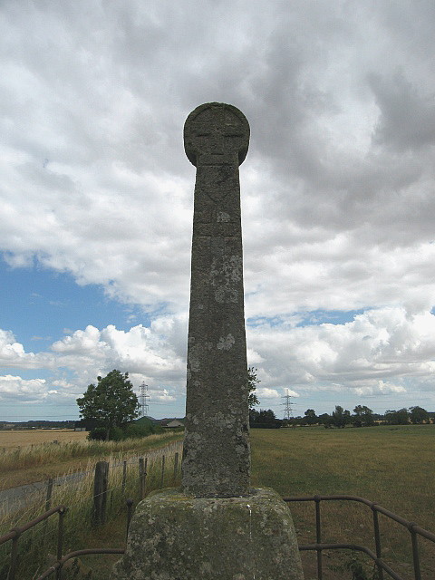
Crosshall cross

The Crosshall Cross is a cross at Crosshall Farm, Eccles, in the Scottish Borders area of Scotland, in historic Berwickshire. The cross is situated near...

Birgham

Birgham is a village in Berwickshire, parish of Eccles in the Scottish Borders area of Scotland, near Coldstream and the River Tweed, on the A698....

Carham Hall

Carham Hall is a grade II listed building near Carham in Northumberland, England. The site, on the Scottish border, was previously occupied by a medieval...

Carham

Carham or Carham on Tweed is a village in Northumberland, England. The village lies on the south side of the River Tweed about 3 miles (5 km) west of Coldstream...

Battle of Carham

The Battle of Carham was fought between the English ruler of Bamburgh and the king of Scotland in alliance with the Cumbrians. The encounter took place...

Eden Water

Eden Water is a tributary of the River Tweed in the Scottish Borders of Scotland. "Water" is the Lowland Scots term for a small river. The Eden Burn rises...

Nearby Amenities

Located within 500m of 55.676361,-2.3519072
Design: barrel
Power: tower
Lat/Long: 55.6722465/-2.354001
Power: pole
Lat/Long: 55.6802839/-2.3521552
Power: pole
Lat/Long: 55.6797259/-2.3512432
Power: pole
Lat/Long: 55.6791648/-2.3502776
Power: pole
Lat/Long: 55.6785599/-2.3492825
Power: pole
Lat/Long: 55.6781712/-2.3485637
Power: pole
Lat/Long: 55.6777886/-2.3478529
Power: pole
Lat/Long: 55.677412/-2.3471528
Power: pole
Lat/Long: 55.6773409/-2.3456964
Power: pole
Lat/Long: 55.6772865/-2.3442104
Power: pole
Lat/Long: 55.6771278/-2.347755
Power: pole
Lat/Long: 55.6766446/-2.3488124
Power: pole
Lat/Long: 55.6769475/-2.3504965
Power: pole
Lat/Long: 55.6764355/-2.3514771
Power: pole
Lat/Long: 55.6759174/-2.3524386
Power: pole
Lat/Long: 55.6754233/-2.3534384
Power: pole
Lat/Long: 55.6755411/-2.3544105
Power: pole
Lat/Long: 55.6757034/-2.3557109
Power: pole
Lat/Long: 55.6758092/-2.3570603
Power: pole
Lat/Long: 55.6759426/-2.3583799
Power: pole
Lat/Long: 55.6762732/-2.3590344
Power: pole
Lat/Long: 55.6765112/-2.3595162
Power: pole
Lat/Long: 55.6754173/-2.3578597
Power: pole
Lat/Long: 55.6752226/-2.3571818
Power: pole
Lat/Long: 55.6748812/-2.3568493
Power: pole
Lat/Long: 55.6741551/-2.356165
The data included in this document is from www.openstreetmap.org. The data is made available under ODbL.

Have you been to Bankhead Wood?

Leave your review of Bankhead Wood below (or comments, questions and feedback).