Craigbeg
Hill, Mountain in Kincardineshire
Scotland
Craigbeg
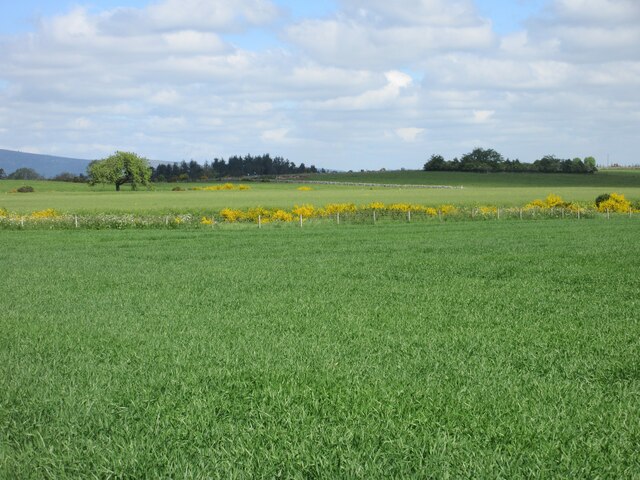
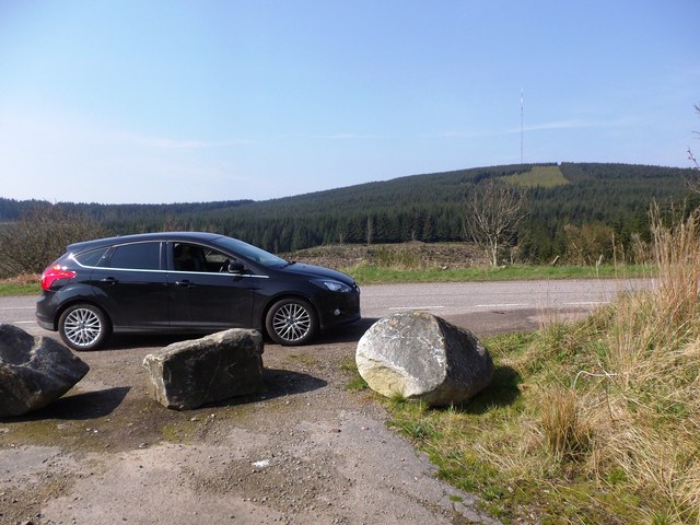
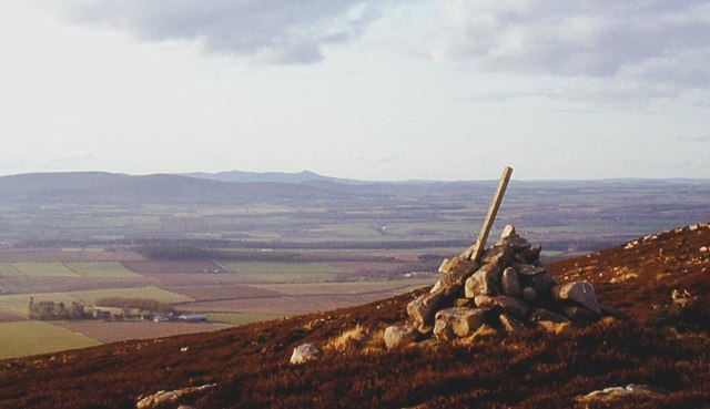
Craigbeg is a picturesque hill located in Kincardineshire, Scotland. Situated in the eastern part of the country, it offers stunning panoramic views of the surrounding countryside. With an elevation of approximately 500 meters, it is classified as a hill rather than a mountain.
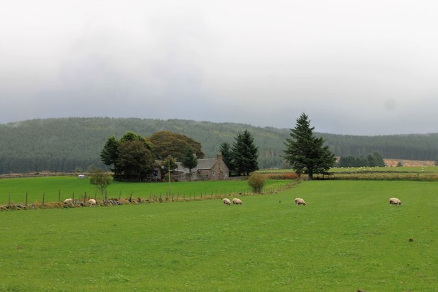
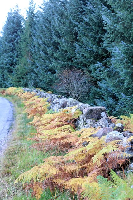
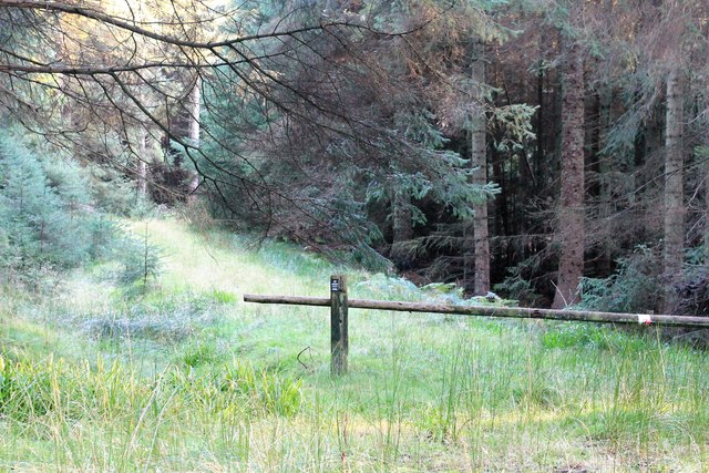
This natural beauty spot is a popular destination for hikers and nature enthusiasts. The hill is covered in lush green vegetation, including a variety of grasses, heather, and mosses. It is also home to an array of wildlife, such as deer, rabbits, and various species of birds, making it a haven for birdwatchers.
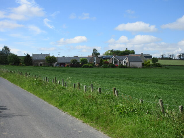
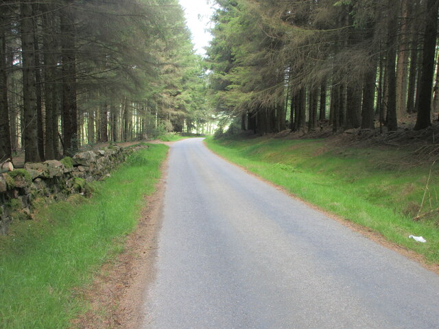
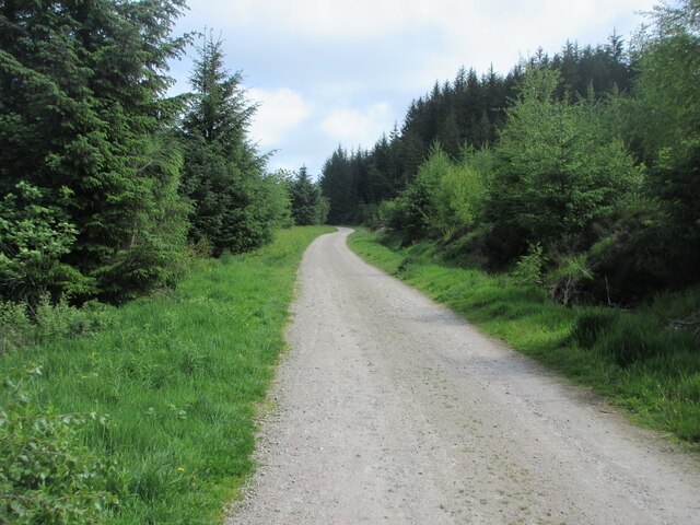
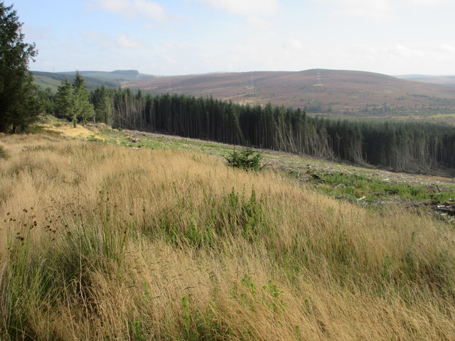
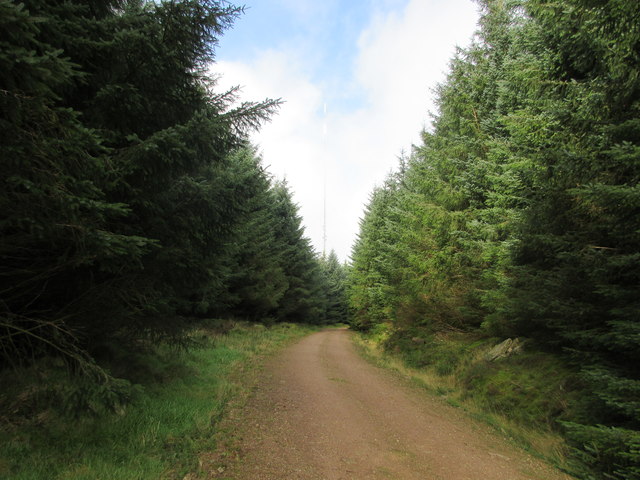
The ascent to Craigbeg is moderate in difficulty, with a well-defined footpath that winds its way up the hill. Along the way, visitors will come across rocky outcrops and small streams, adding to the charm of the landscape. The summit provides a breathtaking view of the surrounding countryside, including rolling hills, meandering rivers, and distant villages.
For those seeking a longer hike, Craigbeg is often combined with nearby hills such as Ben Cleuch and Ben Ever. This allows for a more challenging and rewarding experience, with the opportunity to explore multiple peaks and enjoy even more stunning vistas.
Overall, Craigbeg in Kincardineshire is a hidden gem for outdoor enthusiasts, offering a serene and picturesque setting for hiking and enjoying the beauty of the Scottish countryside.
If you have any feedback on the listing, please let us know in the comments section below.
Craigbeg Images
Images are sourced within 2km of 57.012172/-2.3801751 or Grid Reference NO7791. Thanks to Geograph Open Source API. All images are credited.


Craigbeg is located at Grid Ref: NO7791 (Lat: 57.012172, Lng: -2.3801751)
Unitary Authority: Aberdeenshire
Police Authority: North East
What 3 Words
///bulldozer.crackles.nitrate. Near Banchory, Aberdeenshire
Nearby Locations
Related Wikis
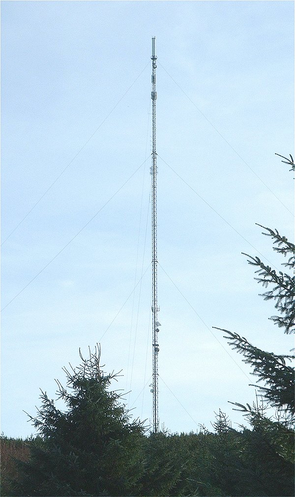
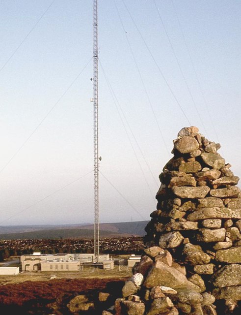
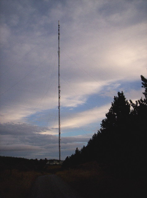
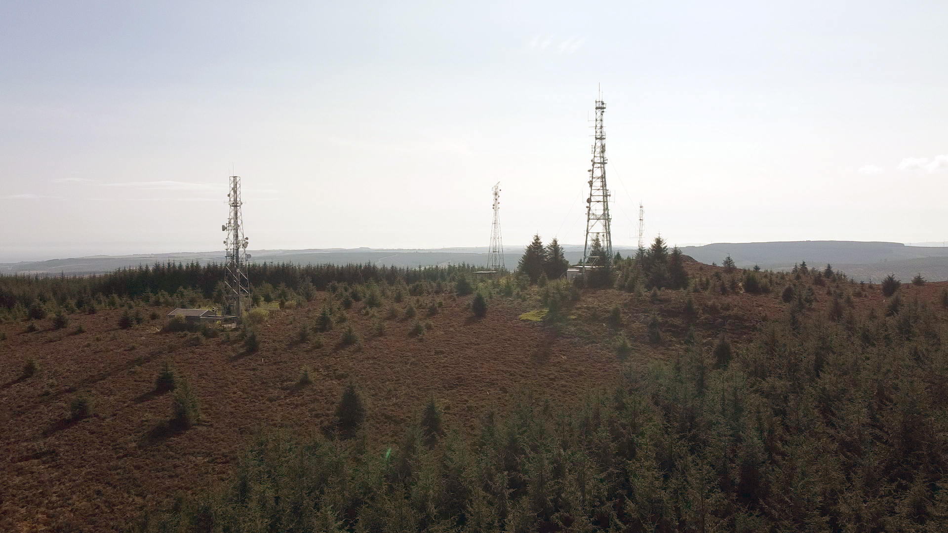
Durris transmitting station
The Durris transmitting station is a broadcasting and telecommunications facility, situated close to the town of Stonehaven, within Durris Forest, within...
Cairn Mon Earn
Cairn Mon Earn or Cairn-mon-earn is a hill in Aberdeenshire, Scotland. == Location == Cairn Mon Earn (OS: Cairn-mon-earn) lies within the Durris Forest...

Lochton
Lochton is a settlement on the Slug Road in Aberdeenshire, Scotland. Roman legions marched from Raedykes to Normandykes Roman Camp somewhat east of Lochton...

Cryne Corse Mounth
Cryne Corse Mounth is an old droving road which ran south across the high ground from the Dee valley in Aberdeenshire, eastern Scotland. Much of the route...
Nearby Amenities
Located within 500m of 57.012172,-2.3801751Have you been to Craigbeg?
Leave your review of Craigbeg below (or comments, questions and feedback).