Bawd Moss
Wood, Forest in Kincardineshire
Scotland
Bawd Moss
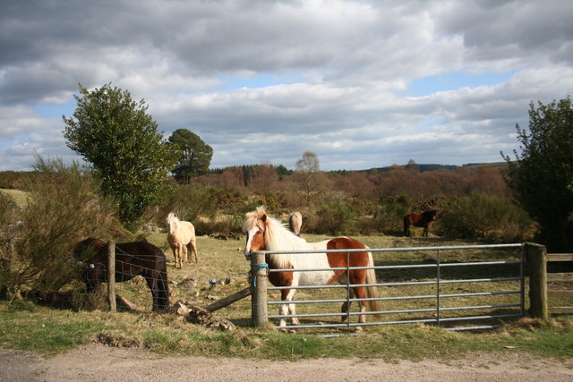
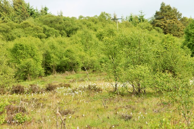
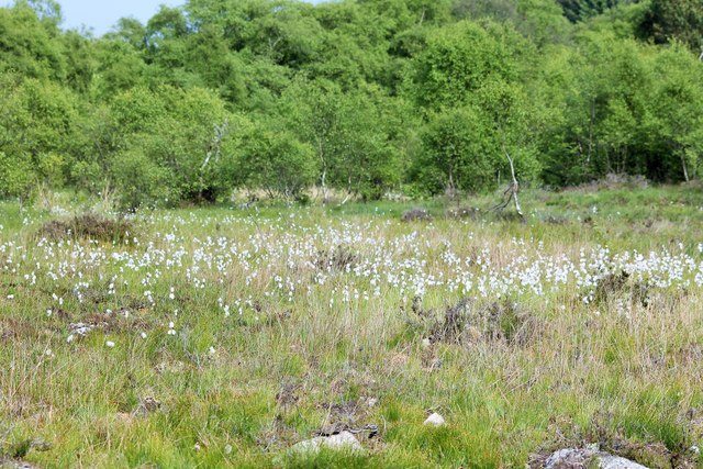
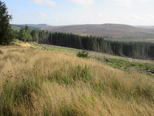
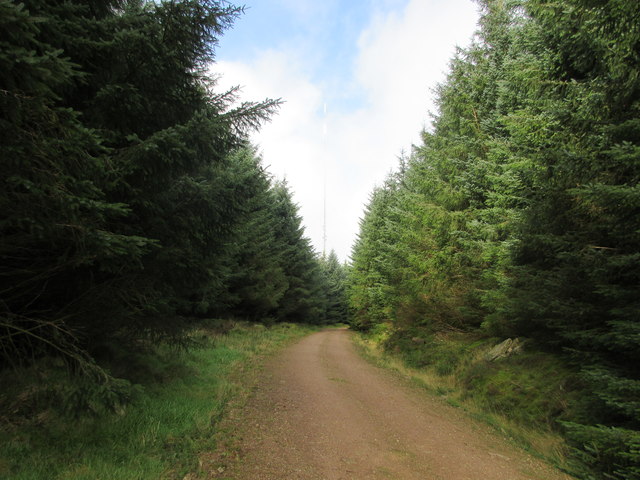
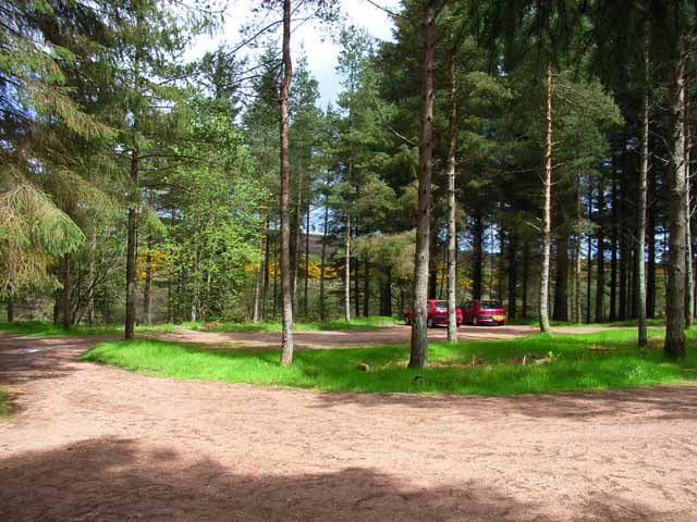
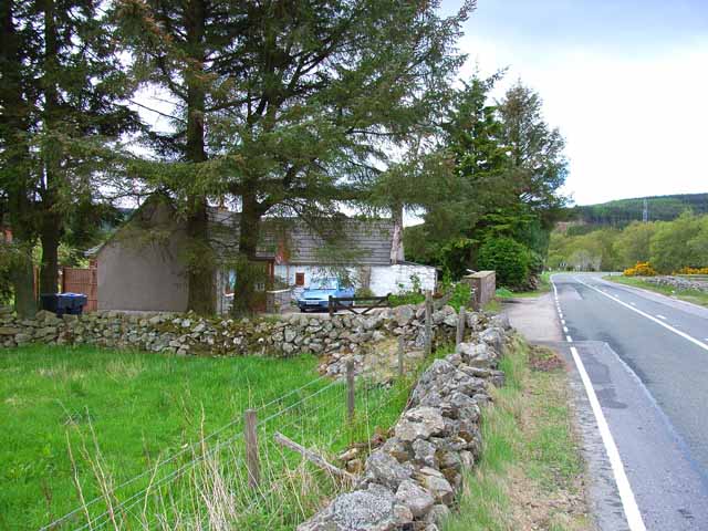
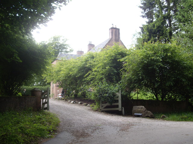
Bawd Moss is a large woodland located in Kincardineshire, Scotland. Spanning over several thousand acres, it is a significant natural feature in the region. The moss is primarily characterized by its dense forest cover, consisting mainly of native species such as oak, birch, and pine trees.
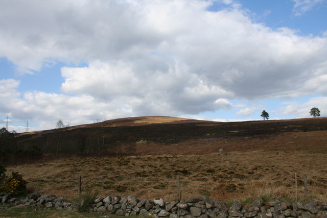
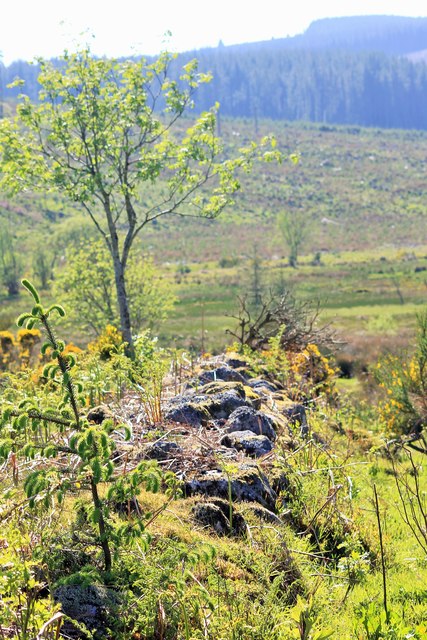
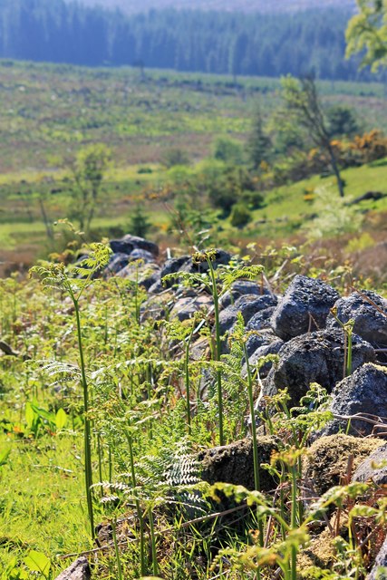
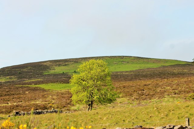
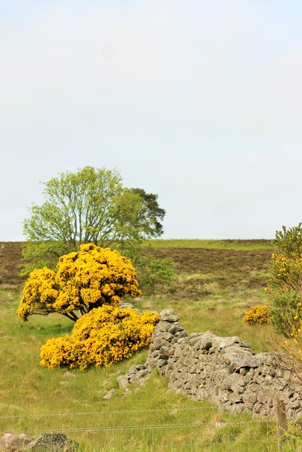
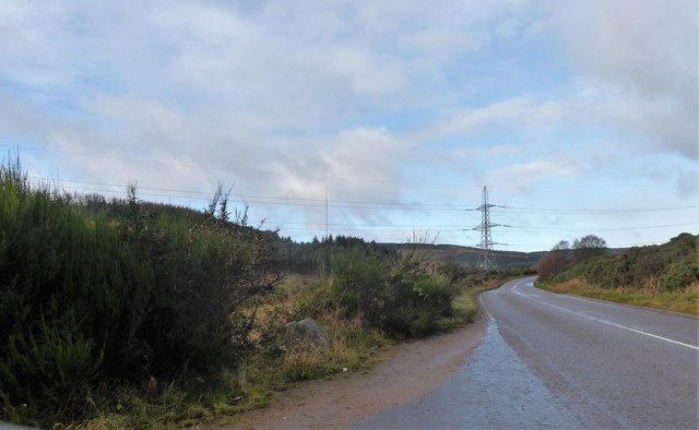
The terrain of Bawd Moss is varied, with undulating hills and valleys creating a diverse landscape. The forest floor is often covered in a thick layer of moss and ferns, adding to the overall beauty and tranquility of the area. Various streams and small rivers meander through the moss, providing a water source for the flora and fauna that inhabit the woodland.
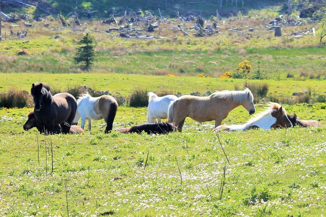
Bawd Moss is home to a rich and diverse ecosystem. The forest supports a wide range of wildlife, including deer, foxes, badgers, and numerous bird species. The dense vegetation provides ample cover and food sources for these animals.
The moss is also a popular destination for outdoor enthusiasts. There are various walking and hiking trails that wind through the woodland, allowing visitors to explore its natural wonders. It is a peaceful and serene place, offering opportunities for relaxation and meditation amidst the beauty of nature.
Overall, Bawd Moss is a significant woodland in Kincardineshire, providing a vital habitat for wildlife and offering a peaceful retreat for visitors. Its diverse flora and fauna, combined with its stunning landscape, make it a must-visit destination for nature lovers and outdoor enthusiasts.
If you have any feedback on the listing, please let us know in the comments section below.
Bawd Moss Images
Images are sourced within 2km of 56.999235/-2.3683888 or Grid Reference NO7789. Thanks to Geograph Open Source API. All images are credited.
Bawd Moss is located at Grid Ref: NO7789 (Lat: 56.999235, Lng: -2.3683888)
Unitary Authority: Aberdeenshire
Police Authority: North East
What 3 Words
///massaged.stretch.palettes. Near Banchory, Aberdeenshire
Nearby Locations
Related Wikis

Cryne Corse Mounth
Cryne Corse Mounth is an old droving road which ran south across the high ground from the Dee valley in Aberdeenshire, eastern Scotland. Much of the route...
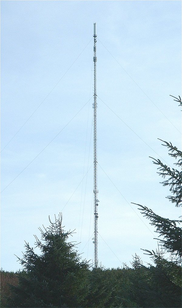
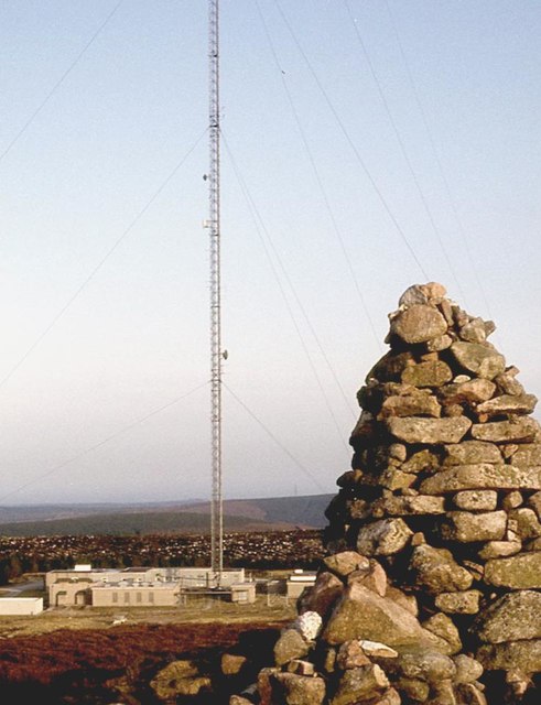
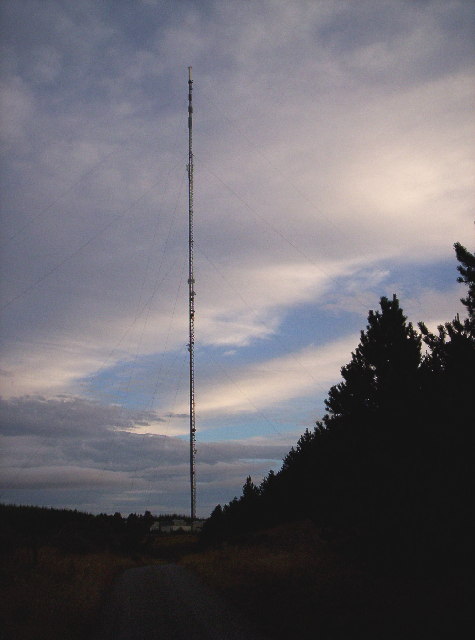
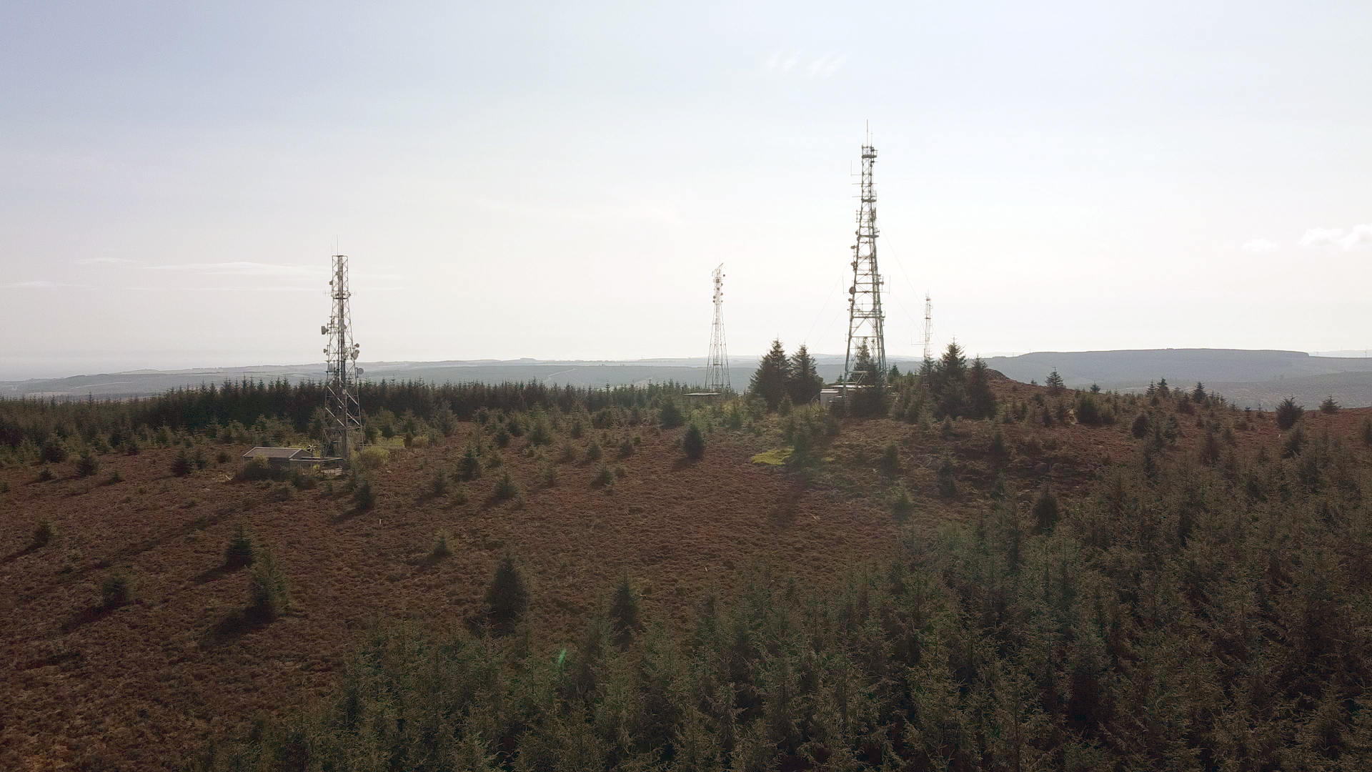
Durris transmitting station
The Durris transmitting station is a broadcasting and telecommunications facility, situated close to the town of Stonehaven, within Durris Forest, within...
Cairn Mon Earn
Cairn Mon Earn or Cairn-mon-earn is a hill in Aberdeenshire, Scotland. == Location == Cairn Mon Earn (OS: Cairn-mon-earn) lies within the Durris Forest...
Mergie
Mergie is a settlement in Aberdeenshire approximately six miles west of Stonehaven, Scotland. Situated in the former Kincardineshire slightly south of...
Have you been to Bawd Moss?
Leave your review of Bawd Moss below (or comments, questions and feedback).