Moss of Anaholans
Wood, Forest in Kincardineshire
Scotland
Moss of Anaholans
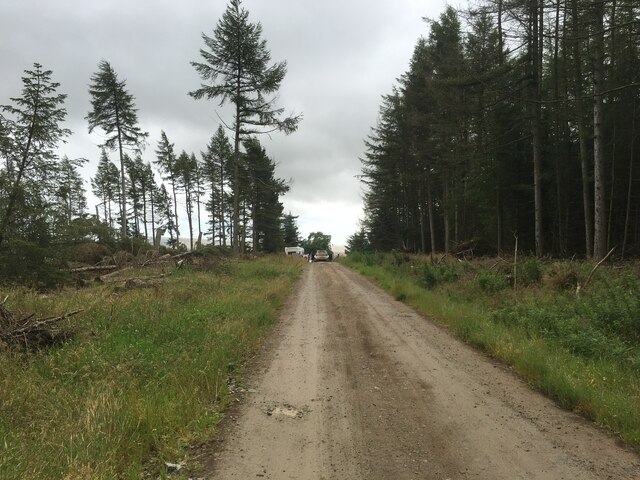
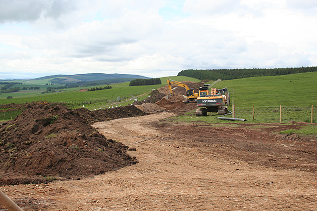
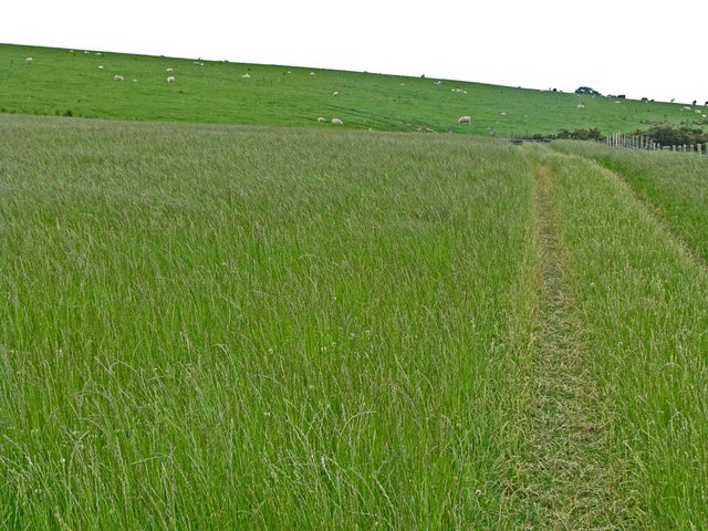
Moss of Anaholans is a woodland area located in Kincardineshire, Scotland. Covering an area of approximately 100 acres, it is a diverse and picturesque forest that offers a range of natural attractions and recreational opportunities.
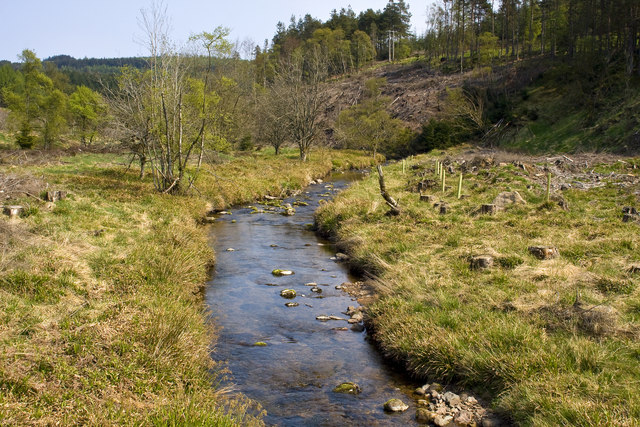
The woodland is primarily composed of native broadleaf trees, such as oak, birch, and beech, which create a dense canopy overhead. This provides a rich habitat for a variety of wildlife, including red squirrels, roe deer, and a wide array of bird species. The forest floor is covered in a thick layer of moss, giving the area its name, and is also home to numerous small mammals, insects, and plant species.
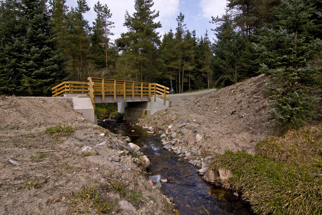
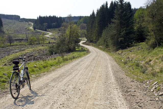
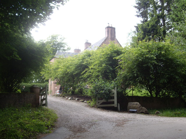
Moss of Anaholans offers visitors a tranquil and peaceful environment, making it a popular destination for nature lovers, hikers, and photographers. There are well-maintained walking trails that wind through the woodland, allowing visitors to explore the varied flora and fauna. The paths are surrounded by an abundance of wildflowers, adding bursts of color to the green landscape.
In addition to its natural beauty, Moss of Anaholans is also of historical significance. It features the remains of an ancient settlement, including stone circles and cairns, which provide insights into the area's past inhabitants.
Overall, Moss of Anaholans is a captivating woodland that showcases the natural beauty of Kincardineshire. With its diverse flora and fauna, peaceful atmosphere, and historical significance, it offers a unique and rewarding experience for those who visit.
If you have any feedback on the listing, please let us know in the comments section below.
Moss of Anaholans Images
Images are sourced within 2km of 56.971549/-2.368395 or Grid Reference NO7786. Thanks to Geograph Open Source API. All images are credited.


Moss of Anaholans is located at Grid Ref: NO7786 (Lat: 56.971549, Lng: -2.368395)
Unitary Authority: Aberdeenshire
Police Authority: North East
What 3 Words
///spoiled.grins.decorate. Near Stonehaven, Aberdeenshire
Nearby Locations
Related Wikis

Fetteresso Forest
The Fetteresso Forest is a woodland that is principally coniferous situated in the Mounth range of the Grampian Mountains in Aberdeenshire, Scotland. The...
Bogjurgan Hill
Bogjurgan Hill is an elevated landform at the southern verge of the Fetteresso Forest in Aberdeenshire, Scotland. Its top is at an elevation of 299 metres...
Cryne Corse Mounth
Cryne Corse Mounth is an old droving road which ran south across the high ground from the Dee valley in Aberdeenshire, eastern Scotland. Much of the route...
Mergie
Mergie is a settlement in Aberdeenshire approximately six miles west of Stonehaven, Scotland. Situated in the former Kincardineshire slightly south of...
Craiginour
Craiginour is a hill located near Cowie Water in Stonehaven, Aberdeenshire, Scotland. Its summit is at 355 metres (1,165 ft). == References ==
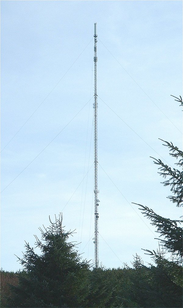
Durris transmitting station
The Durris transmitting station is a broadcasting and telecommunications facility, situated close to the town of Stonehaven, within Durris Forest, within...
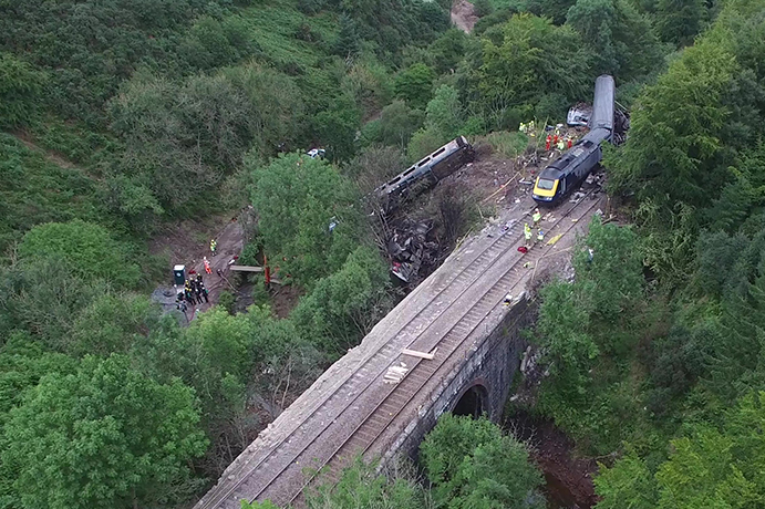
Stonehaven derailment
The Stonehaven derailment was a fatal railway accident that occurred at 09:38 BST on 12 August 2020, when a passenger train returning to Aberdeen hit a...

Carmont railway station
Carmont railway station, on the Aberdeen Railway, served the rural area of Carmont in Aberdeenshire, Scotland from 1855 to 1964. == History == The station...
Nearby Amenities
Located within 500m of 56.971549,-2.368395Have you been to Moss of Anaholans?
Leave your review of Moss of Anaholans below (or comments, questions and feedback).