Amesbury

Settlement in Somerset

England

Amesbury

Direction Sign – Signpost in Radford Located in Radford on the southwest side of a T junction opposite Radford Villa, Paulton parish. 2 arms and pyramid finial.

Milestone Society National ID: SO_ST6757B
Direction Sign – Signpost in Radford Credit: J Dowding

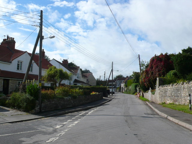
Amesbury is a small town located in the county of Somerset, England. Situated on the River Wylye, it is part of the Salisbury District and lies approximately 8 miles north of the city of Salisbury. With a population of around 8,500 residents, Amesbury has a close-knit community feel.

The town is steeped in history and is best known for its proximity to Stonehenge, one of the most famous prehistoric monuments in the world. Visitors from all over the globe come to Amesbury to explore this ancient site, which is just a short distance away.

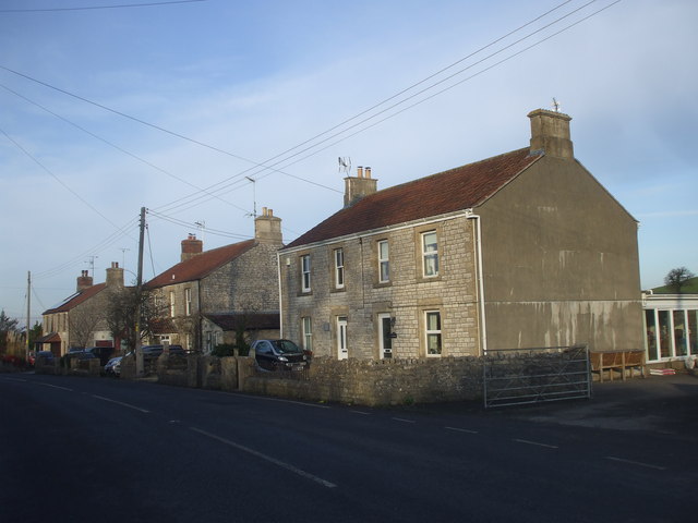
In addition to its historical significance, Amesbury offers a range of amenities to its residents. The town center features a variety of shops, restaurants, and cafes, providing a mix of local and national brands. The local market, held twice a week, offers fresh produce and a chance to support local vendors.

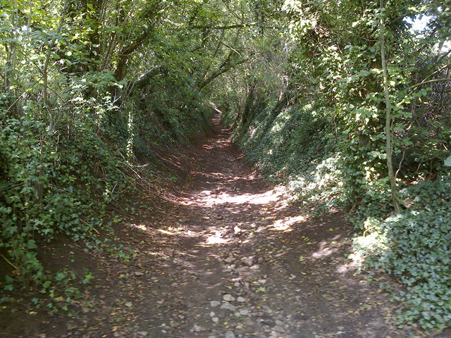
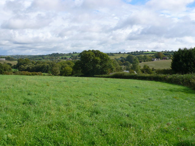
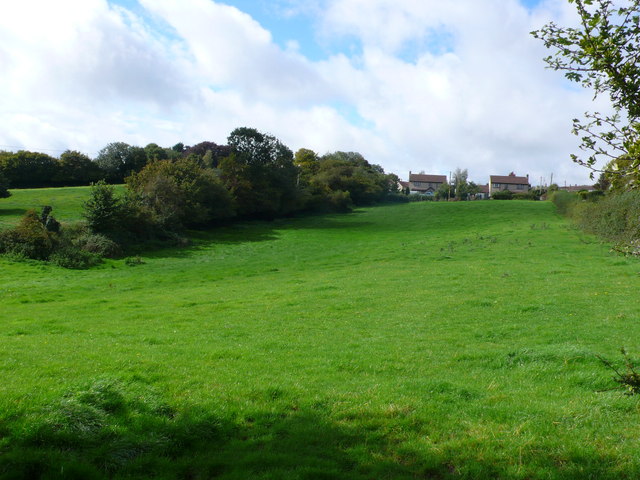
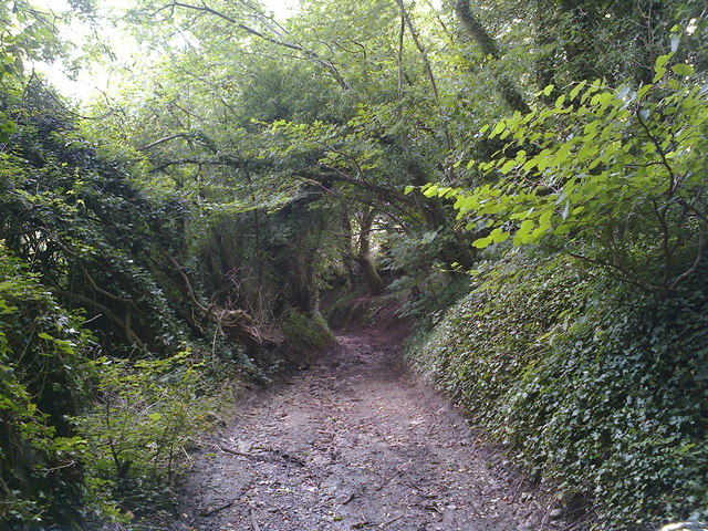
Amesbury also boasts several parks and green spaces, including the beautiful Amesbury Abbey Gardens, which are open to the public. These outdoor areas provide opportunities for leisurely walks, picnics, and recreation.

The town has good transportation links, with regular bus services connecting Amesbury to neighboring towns and cities. The A303, a major road, passes nearby, providing easy access to other parts of Somerset and beyond.

Overall, Amesbury offers a blend of historical charm, natural beauty, and modern conveniences, making it an attractive place to live and visit.

If you have any feedback on the listing, please let us know in the comments section below.
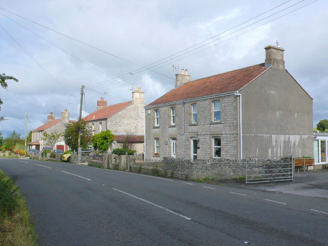
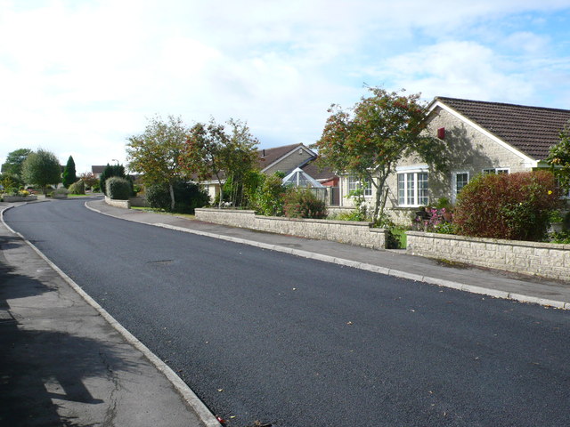
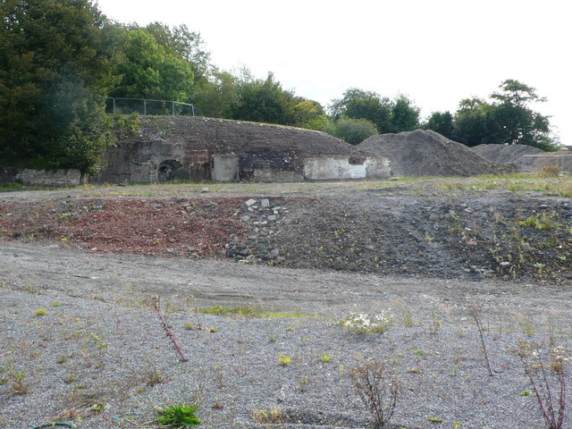
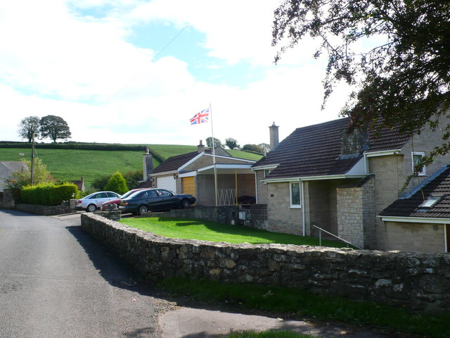
Amesbury Images

Images are sourced within 2km of 51.326117/-2.495828 or Grid Reference ST6558. Thanks to Geograph Open Source API. All images are credited.

Direction Sign – Signpost in Radford Located in Radford on the southwest side of a T junction opposite Radford Villa, Paulton parish. 2 arms and pyramid finial.

Milestone Society National ID: SO_ST6757B
Direction Sign – Signpost in Radford
Located in Radford on the southwest side of a T junction opposite Radford Villa, Paulton parish. 2 arms and pyramid finial. Milestone Society National ID: SO_ST6757B
Old Milestone, A39, High Street, High Littleton A metal plate attached to a wall behind the pavement on the east side of the road, just south of the junction with Eastover Road. Parish of High Littleton (Bath And North East Somerset District). Bath incised iron plate, erected by the Bath turnpike trust in the 18th century.

Inscription reads:
To
Bath
10

Milestone Society National ID: SO_BAGL10
Old Milestone, A39, High Street, High Littleton
A metal plate attached to a wall behind the pavement on the east side of the road, just south of the junction with Eastover Road. Parish of High Littleton (Bath And North East Somerset District). Bath incised iron plate, erected by the Bath turnpike trust in the 18th century. Inscription reads: To Bath 10 Milestone Society National ID: SO_BAGL10
High Littleton : Grassy Field & Gate A field seen from Bungay's Hill.
High Littleton : Grassy Field & Gate
A field seen from Bungay's Hill.
Mill Lane Looking downhill from close to where the footpath crosses the byway
Mill Lane
Looking downhill from close to where the footpath crosses the byway
Mill Lane BOAT Looking uphill at the point where the footpath crosses the byway
Mill Lane BOAT
Looking uphill at the point where the footpath crosses the byway
Houses at the point where Timsbury Rd is about to become Bloomfield Rd, near Bloomfield
St Mary's Church, Timsbury
Cross Ways
Cross Ways
Clutton Hill
Clutton Hill
Houses on Bloomfield Road. These attractive stone built semi detached houses are on the east side of Bloomfield Rd between Farmborough and Timsbury. Bloomfield is the northern part of Timsbury.
Houses on Bloomfield Road.
These attractive stone built semi detached houses are on the east side of Bloomfield Rd between Farmborough and Timsbury. Bloomfield is the northern part of Timsbury.
Somerset Folly Somerset Folly is a twisting residential street consisting mainly of rather boring grey bungalows. It runs west from The Avenue to St Mary's Close.
Somerset Folly
Somerset Folly is a twisting residential street consisting mainly of rather boring grey bungalows. It runs west from The Avenue to St Mary's Close.
Site of Demolished Works This is the site of the former works of the Wheeler Reconstructed Stone Company which produces artificial stone from a mix of cement and crushed Bath stone.This is used in new build house projects as a cheap replacement for natural stone. They appear to have relocated to Marsh Lane, Temple Cloud but it is uncertain if they are still manufacturing. In this image it can be seen that on the remaining site there appears to be evidence of an old kiln , perhaps a lime kiln.
Site of Demolished Works
This is the site of the former works of the Wheeler Reconstructed Stone Company which produces artificial stone from a mix of cement and crushed Bath stone.This is used in new build house projects as a cheap replacement for natural stone. They appear to have relocated to Marsh Lane, Temple Cloud but it is uncertain if they are still manufacturing. In this image it can be seen that on the remaining site there appears to be evidence of an old kiln , perhaps a lime kiln.
Houses on Priorshill These houses are at the bottom of Priorshill where it joins Loves Hill. Priorshill rises up to the hamlet of Tyning
Houses on Priorshill
These houses are at the bottom of Priorshill where it joins Loves Hill. Priorshill rises up to the hamlet of Tyning
Houses on Timsbury Rd View up Timsbury Rd towards its junction with the A39. The road coming in on the left is The Batch leading on to Goosard Lane.
Houses on Timsbury Rd
View up Timsbury Rd towards its junction with the A39. The road coming in on the left is The Batch leading on to Goosard Lane.
Countryside near Paulton These pasture fields are just south of Goosard lane between High Littleton and Paulton.
Countryside near Paulton
These pasture fields are just south of Goosard lane between High Littleton and Paulton.
Fields at High Littleton This is at the southern end of High Littleton looking up from near Goosard Lane. The houses that can be seen at the top of the hill are on Langfords lane at the very northern edge of the grid square.
Fields at High Littleton
This is at the southern end of High Littleton looking up from near Goosard Lane. The houses that can be seen at the top of the hill are on Langfords lane at the very northern edge of the grid square.
Mill Lane Looking downhill just before the byway becomes a sunken lane in a deep gulley.
Mill Lane
Looking downhill just before the byway becomes a sunken lane in a deep gulley.
Show me another place!

Amesbury is located at Grid Ref: ST6558 (Lat: 51.326117, Lng: -2.495828)

Unitary Authority: Bath and North East Somerset

Police Authority: Avon and Somerset

What 3 Words

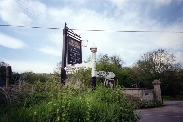
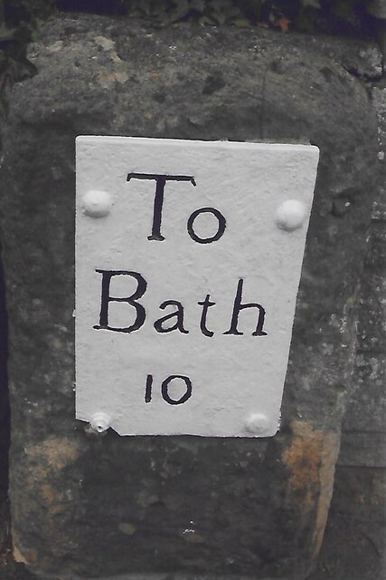
///slope.stars.campus. Near Timsbury, Somerset

Related Wikis

Wansdyke (UK Parliament constituency)

Wansdyke was a county constituency represented in the House of Commons of the Parliament of the United Kingdom. It elected one Member of Parliament (MP...

North East Somerset (UK Parliament constituency)

North East Somerset is a constituency represented in the House of Commons of the UK Parliament, since it was created for the 2010 general election, by...

Paulton Halt railway station

Paulton Halt railway station was on the Camerton branch of the Great Western Railway in Somerset, England. It was in use from 1914 until 1925, however...

High Littleton

High Littleton is a village and civil parish in Somerset, England, about 1.2 miles (1.9 km) north of Paulton and 7.5 miles (12 km) south-west of Bath....

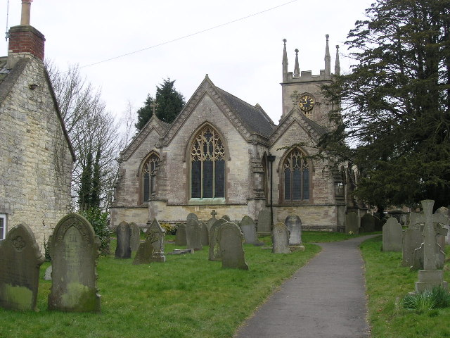
Church of St Mary The Virgin, Timsbury

The Anglican Church of St Mary The Virgin in Timsbury within the English county of Somerset is a Grade II* listed building.An old church on the site had...

Timsbury, Somerset

Timsbury is a village and civil parish in England, in the Bath and North East Somerset unitary authority of the county of Somerset. It lies 8 miles (13...

Radford and Timsbury Halt railway station

Radford and Timsbury Halt railway station was on the Camerton branch of the Great Western Railway in Somerset, England. It was in use from 1910 until 1915...

Greyfield Wood

Greyfield Wood is a woodland to the west of High Littleton, Somerset, England. It is around 16 km (9.9 mi) from Bath and 19 km (12 mi) from Bristol. It...

Nearby Amenities

Located within 500m of 51.326117,-2.495828
Post Box
Operator: Royal Mail
Operator Wikidata: Q638098
Ref: BA2 203
Lat/Long: 51.3285335/-2.4906641
Power: pole
Lat/Long: 51.3257595/-2.4982435
Power: pole
Lat/Long: 51.3260013/-2.4999318
Power: pole
Lat/Long: 51.3264152/-2.4945447
Power: pole
Lat/Long: 51.3266802/-2.4985839
Power: pole
Lat/Long: 51.3268257/-2.4995265
Power: pole
Lat/Long: 51.3269188/-2.4951131
Power: pole
Lat/Long: 51.3273419/-2.4987887
Power: pole
Lat/Long: 51.3275084/-2.4957749
Power: pole
Lat/Long: 51.3275683/-2.4991819
Power: pole
Lat/Long: 51.3278797/-2.4989647
Power: pole
Lat/Long: 51.3283108/-2.4967102
Power: pole
Lat/Long: 51.3284339/-2.4995999
Power: pole
Lat/Long: 51.3284863/-2.5015508
Power: pole
Lat/Long: 51.3288441/-2.497313
Power: pole
Lat/Long: 51.3288897/-2.499303
Power: pole
Lat/Long: 51.3289151/-2.5014098
Power: pole
Lat/Long: 51.3291479/-2.4999525
Power: pole
Lat/Long: 51.3294817/-2.4995074
Power: pole
Lat/Long: 51.329535/-2.4991854
Power: pole
Lat/Long: 51.3230953/-2.4909421
Power: pole
Lat/Long: 51.3236387/-2.4914345
Power: pole
Lat/Long: 51.3244702/-2.4923487
Power: pole
Lat/Long: 51.3254885/-2.4935309
The Organic Cake Co
Addr Postcode: BA2 0FQ
Fhrs Id: 813338
Manufacturer: food
Lat/Long: 51.3296943/-2.4926723
Mearns
Place: hamlet
Lat/Long: 51.3279235/-2.5017705
Amesbury
Place: hamlet
Lat/Long: 51.3258322/-2.4958911
Power: pole
Lat/Long: 51.323267/-2.5007188
Power: pole
Lat/Long: 51.324801/-2.4979279
Power: pole
Lat/Long: 51.3230612/-2.4967343
Power: pole
Lat/Long: 51.3220141/-2.4960256
Power: pole
Lat/Long: 51.3250334/-2.5004154
Power: pole
Lat/Long: 51.3242805/-2.5005316
Power: pole
Lat/Long: 51.3220526/-2.4972606
Power: pole
Lat/Long: 51.3219486/-2.4963499
Power: pole
Lat/Long: 51.322143/-2.4983644
Power: pole
Lat/Long: 51.3222497/-2.499336
Power: pole
Lat/Long: 51.3249874/-2.4947425
Power: pole
Lat/Long: 51.3241628/-2.4943857
Power: pole
Lat/Long: 51.3288584/-2.4916879
Power: pole
Lat/Long: 51.3287825/-2.492337
Power: pole
Lat/Long: 51.3286425/-2.4933971
Power: pole
Lat/Long: 51.3285082/-2.4944432
Direction: 180
Generator Method: photovoltaic
Generator Output Electricity: yes
Generator Solar Modules: 8
Generator Source: solar
Generator Type: solar_photovoltaic_panel
Location: roof
Power: generator
Lat/Long: 51.327433/-2.4905938
Power: pole
Lat/Long: 51.3280109/-2.4918569
Power: pole
Lat/Long: 51.3271097/-2.4912903
Power: pole
Lat/Long: 51.326355/-2.4916631
Power: pole
Lat/Long: 51.3258294/-2.4906895
Power: pole
Lat/Long: 51.3254347/-2.4899962
Generator Method: photovoltaic
Generator Output Electricity: yes
Generator Source: solar
Generator Type: solar_photovoltaic_panel
Location: roof
Power: generator
Lat/Long: 51.3235435/-2.489999
Power: pole
Lat/Long: 51.3257285/-2.4950527
Power: pole
Lat/Long: 51.3257017/-2.4962918
Generator Method: photovoltaic
Generator Output Electricity: yes
Generator Source: solar
Generator Type: solar_photovoltaic_panel
Location: roof
Power: generator
Lat/Long: 51.3269066/-2.5017751
Generator Method: photovoltaic
Generator Output Electricity: yes
Generator Source: solar
Generator Type: solar_photovoltaic_panel
Location: roof
Power: generator
Lat/Long: 51.3275502/-2.4996923
Direction: 240
Generator Method: photovoltaic
Generator Output Electricity: yes
Generator Solar Modules: 14
Generator Source: solar
Generator Type: solar_photovoltaic_panel
Location: roof
Power: generator
Lat/Long: 51.3279383/-2.5003647
Power: pole
Lat/Long: 51.3281406/-2.5013539
Power: pole
Lat/Long: 51.3275656/-2.5008177
The data included in this document is from www.openstreetmap.org. The data is made available under ODbL.

Have you been to Amesbury?

Leave your review of Amesbury below (or comments, questions and feedback).