Amerton
Settlement in Staffordshire Stafford
England
Amerton
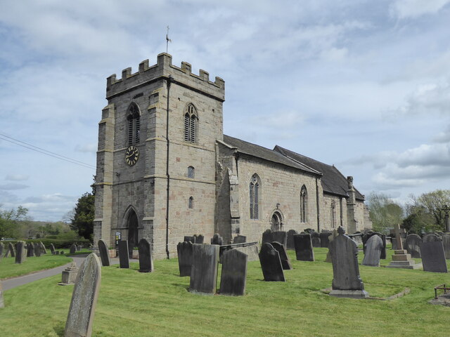
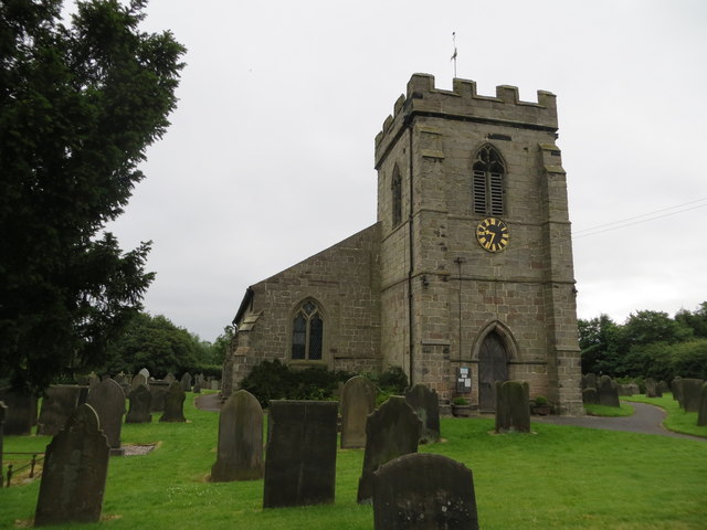
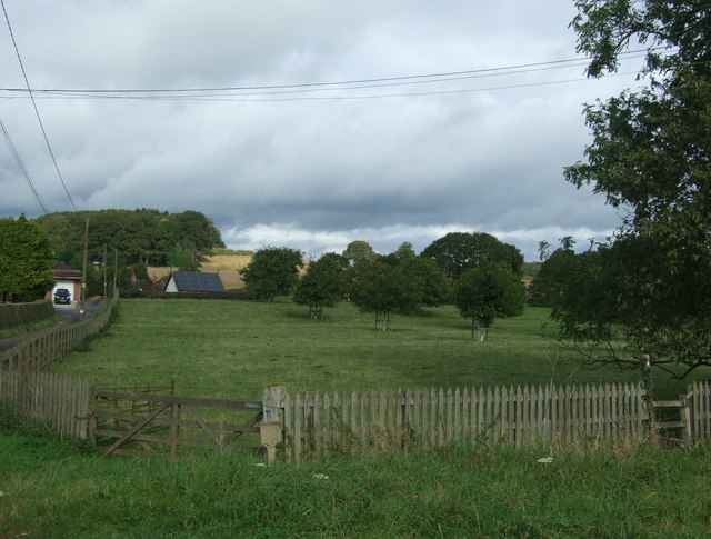
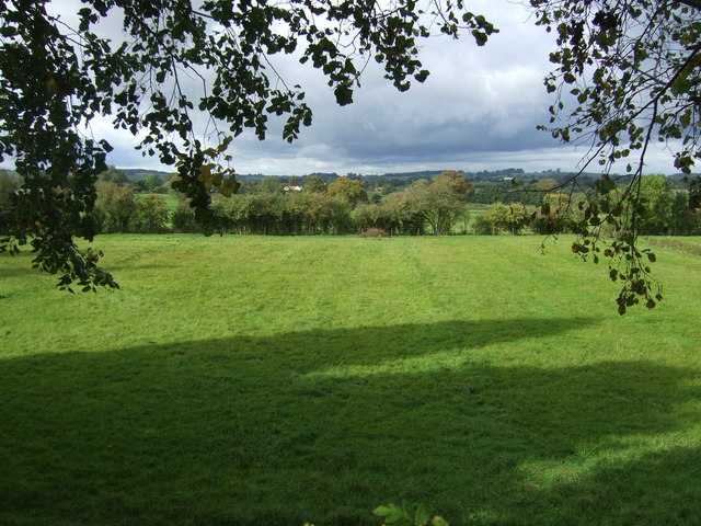
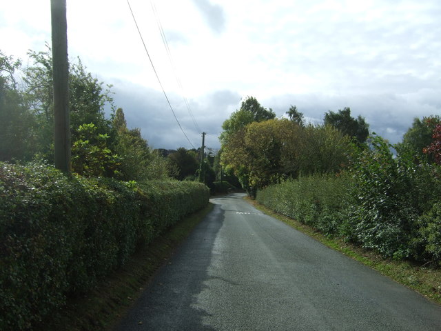
Amerton is a small village located in the county of Staffordshire, England. Situated approximately 8 miles east of Stafford, it is nestled in the picturesque countryside of the West Midlands region. With a population of around 400 people, Amerton provides a tranquil and close-knit community atmosphere.
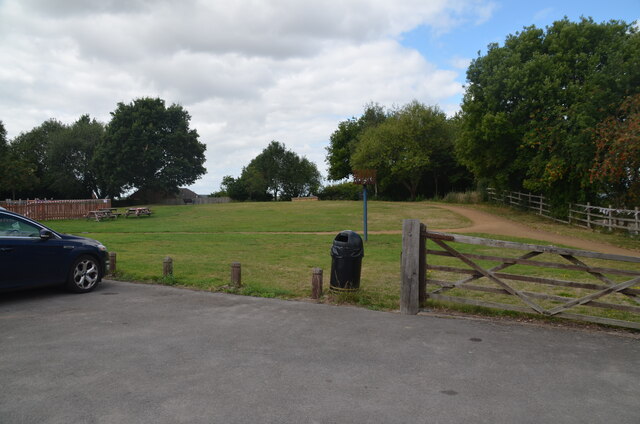
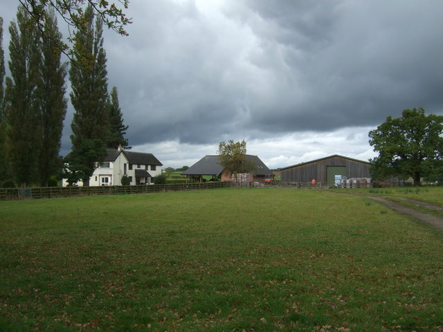
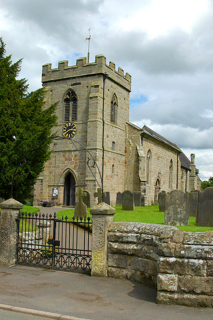
The village is renowned for its historic buildings and landmarks. One of the main attractions is Amerton Farm, a working farm that offers a range of activities for visitors of all ages. Here, visitors can enjoy tractor rides, interact with farm animals, and explore the farm shop that sells locally produced goods.
Amerton also boasts the Amerton Railway, a miniature steam railway that runs through the scenic Staffordshire countryside. This popular attraction allows visitors to take a nostalgic journey on a small-scale replica of a traditional steam locomotive.
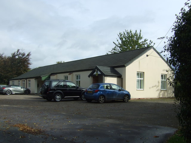
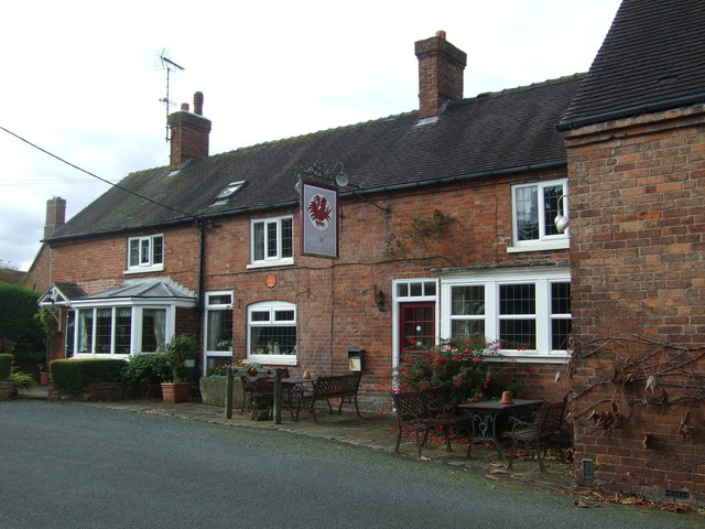
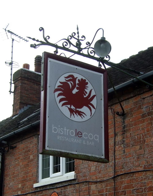
In addition to its agricultural and leisure offerings, Amerton features a number of small businesses and independent shops. These establishments cater to the needs of both locals and tourists, providing a range of goods and services.
The village is well-connected to neighboring towns and cities by road, with the A518 and A51 providing easy access. The nearest railway station is Stafford, which offers regular services to major cities such as Birmingham and London.
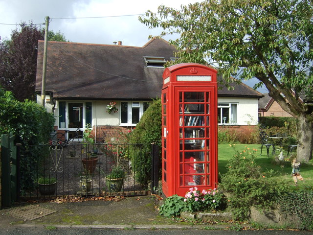
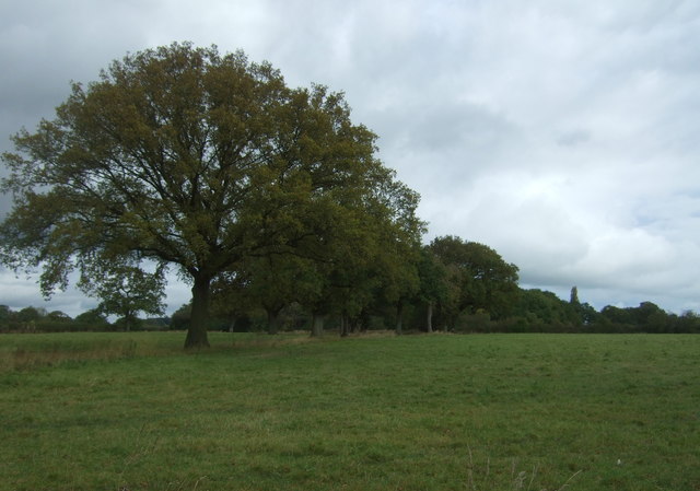
Amerton's charm lies in its idyllic rural setting, historic landmarks, and strong sense of community. It offers a peaceful escape from the hustle and bustle of urban life, making it an attractive destination for those seeking a taste of rural England.
If you have any feedback on the listing, please let us know in the comments section below.
Amerton Images
Images are sourced within 2km of 52.845883/-2.008876 or Grid Reference SJ9927. Thanks to Geograph Open Source API. All images are credited.
Amerton is located at Grid Ref: SJ9927 (Lat: 52.845883, Lng: -2.008876)
Administrative County: Staffordshire
District: Stafford
Police Authority: Staffordshire
What 3 Words
///fruitcake.builders.sigh. Near Great Haywood, Staffordshire
Nearby Locations
Related Wikis
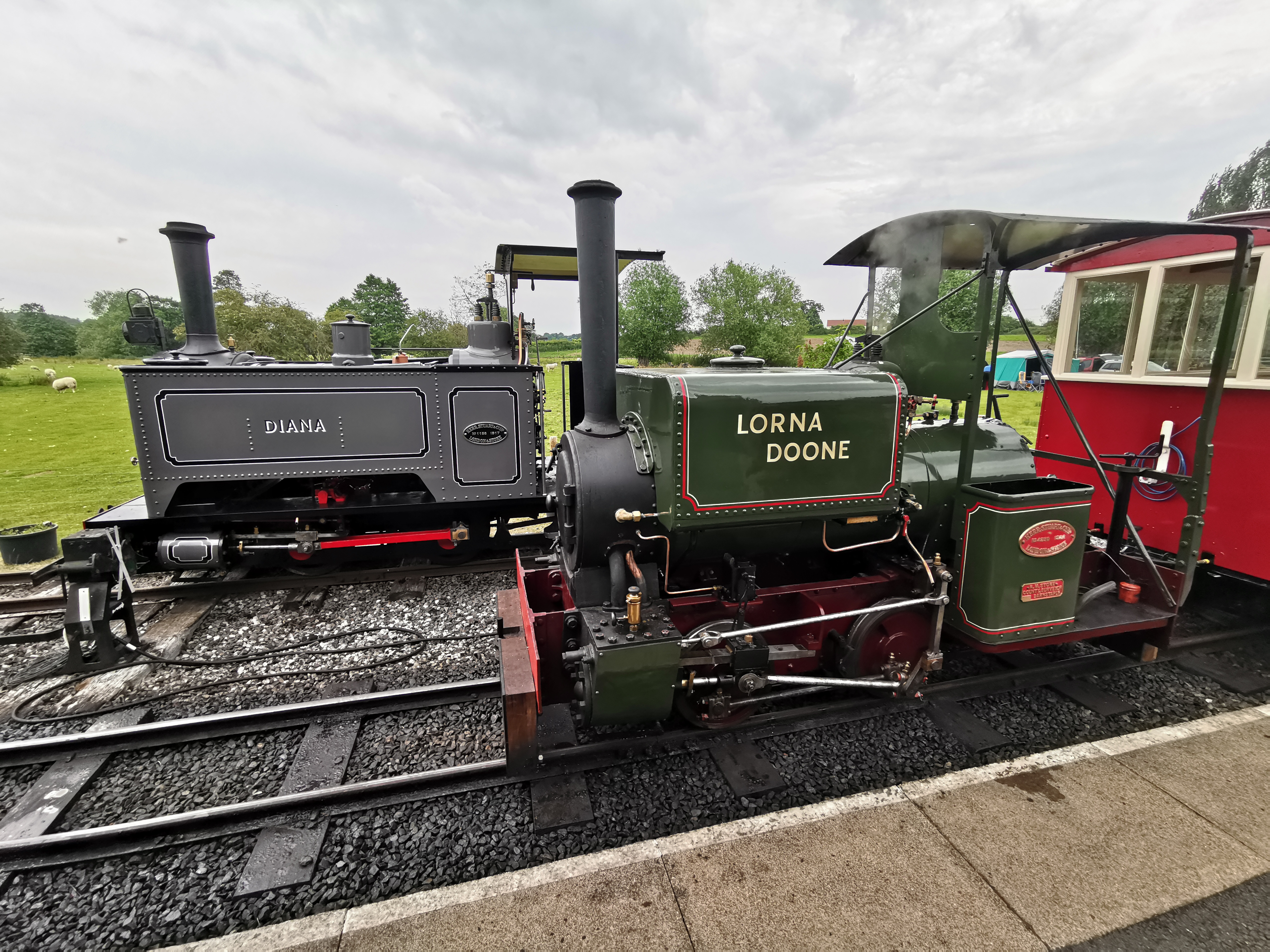
Amerton Railway
The Amerton Railway is a 2 ft (610 mm) narrow gauge heritage railway in the English county of Staffordshire. It is owned by Staffordshire Narrow Gauge...

Amerton
Amerton is a small village in the Borough of Stafford, Staffordshire, England, situated on the A518 road between Stafford and Uttoxeter. The population...

Chartley railway station
Chartley railway station was a former British railway station to serve the village of Stowe-by-Chartley in Staffordshire. It was opened by the Stafford...
Stowe-by-Chartley
Stowe-by-Chartley is a village and civil parish in the Borough of Stafford, Staffordshire, England. According to the parish council, the parish includes...

RAF Hixon
Royal Air Force Hixon, or more simply RAF Hixon, was a Royal Air Force station located on the north western edge of the village of Hixon in Staffordshire...

RAF Seighford
Royal Air Force Seighford or more simply RAF Seighford is a former Royal Air Force satellite station located 3.6 miles (5.8 km) northwest of Stafford,...

Gayton, Staffordshire
Gayton is a small rural village and civil parish in Staffordshire, located approximately 1 mile from the A51 between Stone and Stafford. In 2001 it had...

Weston and Ingestre railway station
Weston and Ingestre railway station was a former British railway station opened by the North Staffordshire Railway to serve the village of Ingestre in...
Nearby Amenities
Located within 500m of 52.845883,-2.008876Have you been to Amerton?
Leave your review of Amerton below (or comments, questions and feedback).