Amesbury Hill
Hill, Mountain in Somerset
England
Amesbury Hill
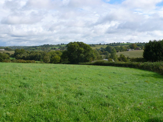
Amesbury Hill is a prominent geographic feature located in the county of Somerset, England. Situated near the town of Bruton, the hill is part of the larger Mendip Hills range in the southwestern part of the country. Rising to an elevation of approximately 169 meters (554 feet) above sea level, Amesbury Hill provides stunning panoramic views of the surrounding countryside.
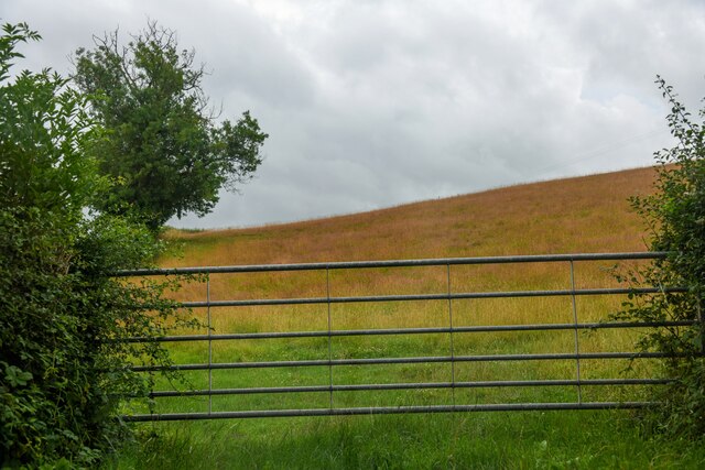
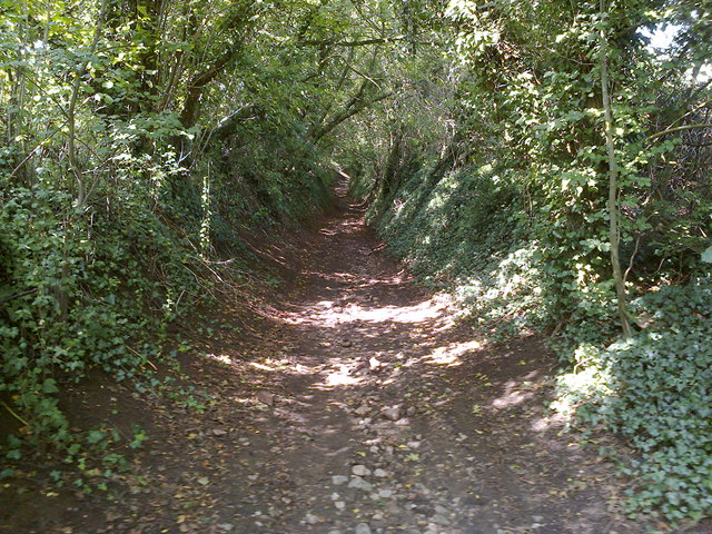
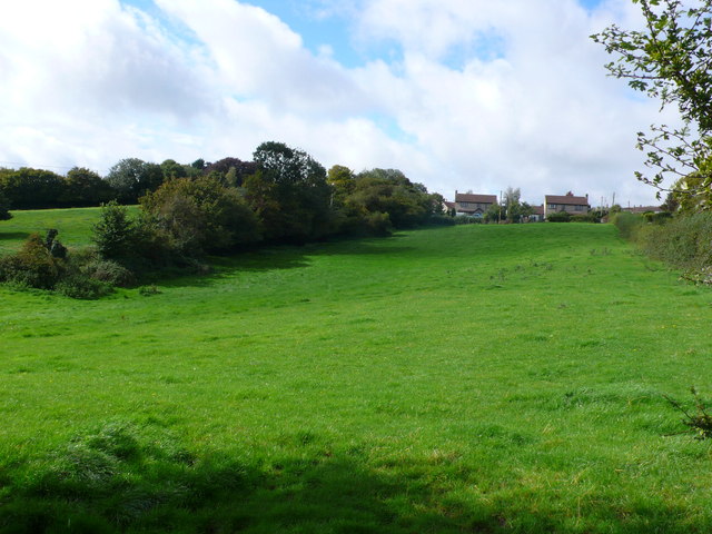
The hill is characterized by its gently sloping sides and a relatively flat summit, making it easily accessible for hikers and nature enthusiasts. Covered in lush greenery, the hill is home to a diverse range of flora and fauna, including various wildflowers, grasses, and bird species. Its vegetation is mainly comprised of deciduous trees, providing ample shade during the summer months.
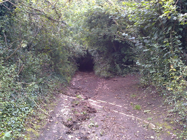
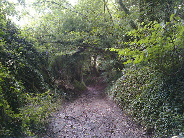
Amesbury Hill is popular among outdoor enthusiasts due to its well-maintained network of trails and footpaths, which allow visitors to explore its natural beauty. These routes cater to different levels of difficulty, making it suitable for both casual walkers and more experienced hikers. Additionally, the hill offers opportunities for bird-watching, picnicking, and photography.
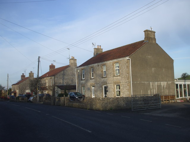
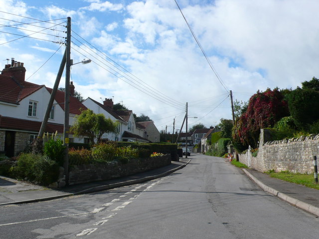
The hill's location near the town of Bruton means that visitors can easily access amenities such as parking facilities, cafes, and shops. The nearby area also boasts historical landmarks and cultural attractions, adding further interest to a visit to Amesbury Hill.
Overall, Amesbury Hill in Somerset is a picturesque and accessible natural feature, offering visitors a chance to immerse themselves in the tranquility of the English countryside while enjoying breathtaking views and a variety of recreational activities.
If you have any feedback on the listing, please let us know in the comments section below.
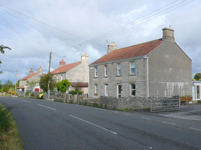
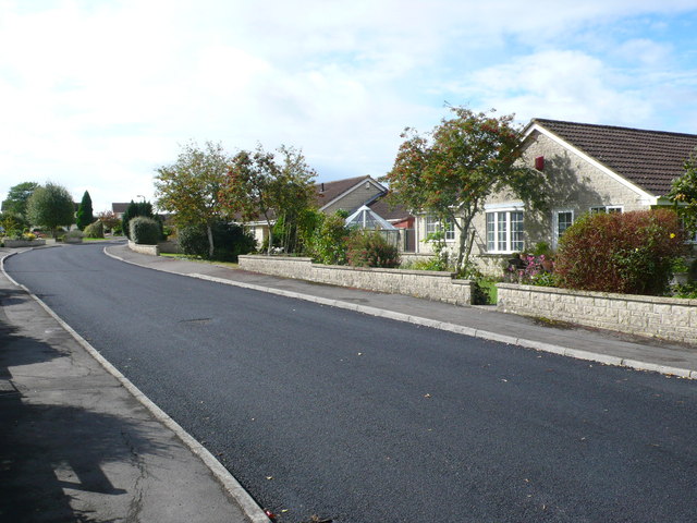
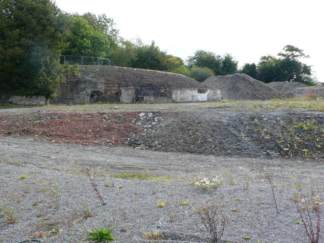
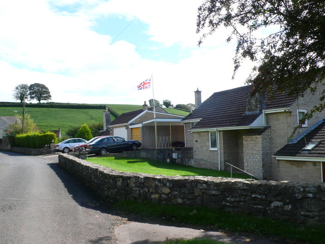
Amesbury Hill Images
Images are sourced within 2km of 51.327741/-2.4940379 or Grid Reference ST6558. Thanks to Geograph Open Source API. All images are credited.


Amesbury Hill is located at Grid Ref: ST6558 (Lat: 51.327741, Lng: -2.4940379)
Unitary Authority: Bath and North East Somerset
Police Authority: Avon and Somerset
What 3 Words
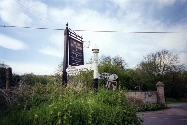
///curries.swimmer.forge. Near Timsbury, Somerset
Nearby Locations
Related Wikis

Wansdyke (UK Parliament constituency)
Wansdyke was a county constituency represented in the House of Commons of the Parliament of the United Kingdom. It elected one Member of Parliament (MP...

North East Somerset (UK Parliament constituency)
North East Somerset is a constituency represented in the House of Commons of the UK Parliament, since it was created for the 2010 general election, by...
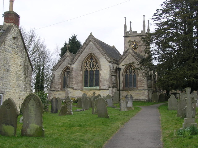
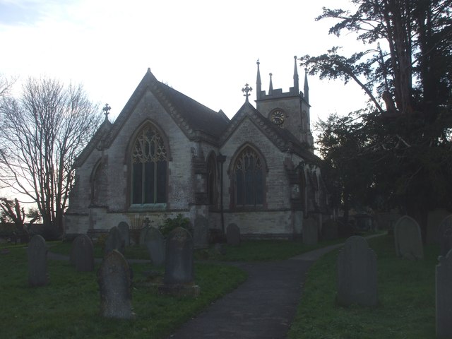
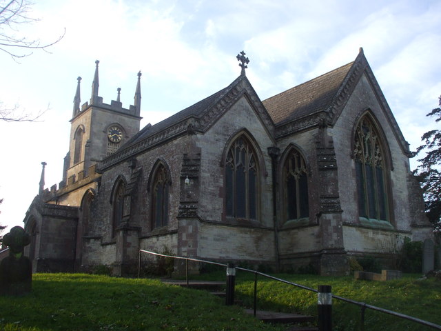
Church of St Mary The Virgin, Timsbury
The Anglican Church of St Mary The Virgin in Timsbury within the English county of Somerset is a Grade II* listed building.An old church on the site had...

Paulton Halt railway station
Paulton Halt railway station was on the Camerton branch of the Great Western Railway in Somerset, England. It was in use from 1914 until 1925, however...

High Littleton
High Littleton is a village and civil parish in Somerset, England, about 1.2 miles (1.9 km) north of Paulton and 7.5 miles (12 km) south-west of Bath....
Timsbury, Somerset
Timsbury is a village and civil parish in England, in the Bath and North East Somerset unitary authority of the county of Somerset. It lies 8 miles (13...
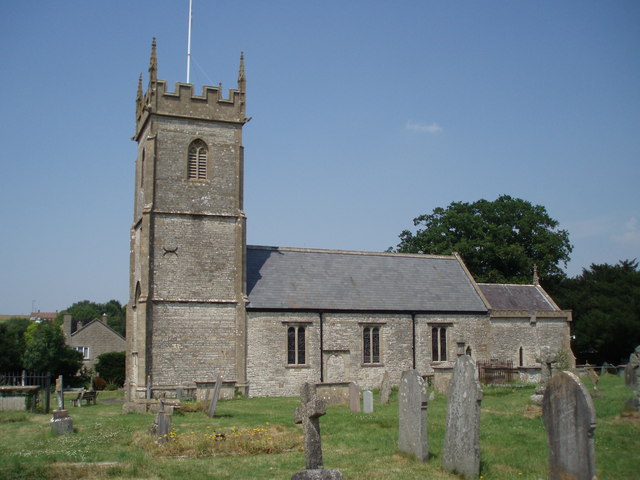
Church of All Saints, Farmborough
The Church of All Saints is an Anglican parish church in Farmborough, Somerset, England. It was principally built in the 15th century (with parts dating...
Farmborough
Farmborough is a small village and civil parish, 6 miles (9.7 km) south west of Bath in Somerset, England. It straddles both the A39 and A368 roads. The...
Nearby Amenities
Located within 500m of 51.327741,-2.4940379Have you been to Amesbury Hill?
Leave your review of Amesbury Hill below (or comments, questions and feedback).