Broom Hill
Hill, Mountain in Gloucestershire Forest of Dean
England
Broom Hill
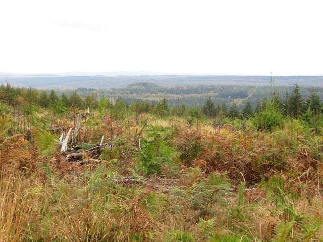
Broom Hill is a prominent hill located in the county of Gloucestershire, England. Situated in the Cotswolds, it is part of a range of rolling hills that characterizes this picturesque region. With an elevation of approximately 226 meters (741 feet), Broom Hill offers breathtaking panoramic views of the surrounding countryside.
The hill is covered in lush green vegetation, predominantly composed of grasses, wildflowers, and scattered trees. Its slopes are gentle, making it an accessible destination for hikers and nature enthusiasts of all ages. The hillside is also home to various species of wildlife, including birds, rabbits, and the occasional deer.
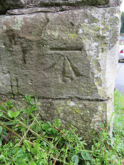
At its summit, Broom Hill boasts a trig point, which is a concrete pillar used in mapping and surveying. This point serves as a reference marker and is often used by visitors to determine their location or to simply admire the stunning vistas that stretch for miles in every direction.
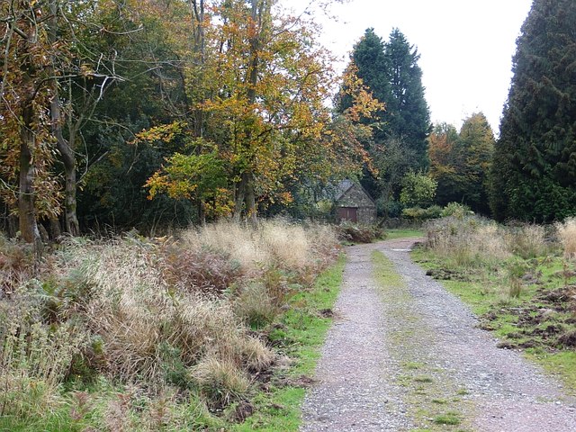
Access to Broom Hill is relatively easy, with several footpaths and trails leading to its summit. These paths are well maintained and offer a pleasant walking experience for visitors. Additionally, the hill is located near the charming village of Painswick, where visitors can find amenities such as accommodation, shops, and restaurants.
Broom Hill's natural beauty, coupled with its convenient location and accessibility, make it a popular destination for both locals and tourists alike. Whether one seeks a peaceful walk in nature or simply wishes to soak in the breathtaking views, Broom Hill in Gloucestershire is a delightful spot to visit.
If you have any feedback on the listing, please let us know in the comments section below.
Broom Hill Images
Images are sourced within 2km of 51.778049/-2.4988993 or Grid Reference SO6508. Thanks to Geograph Open Source API. All images are credited.
Broom Hill is located at Grid Ref: SO6508 (Lat: 51.778049, Lng: -2.4988993)
Administrative County: Gloucestershire
District: Forest of Dean
Police Authority: Gloucestershire
What 3 Words
///blackmail.extremes.insiders. Near Cinderford, Gloucestershire
Nearby Locations
Related Wikis

Upper Soudley Halt railway station
Upper Soudley Halt railway station is a disused railway station that was opened by the Great Western Railway (GWR) on the former Bullo Pill Railway, later...

Soudley
Soudley, including Upper Soudley, is a village to the west of Cinderford, in the Forest of Dean, Gloucestershire, England. It joins with Ruspidge to form...
Meezy Hurst
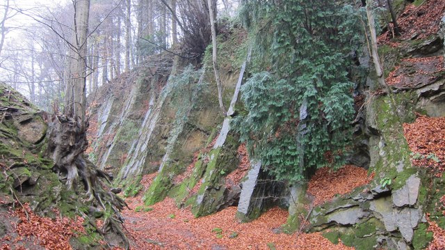
Meezy Hurst (SO638089 to SO647091) is a 4.3-hectare (11-acre) geological Site of Special Scientific Interest in Gloucestershire, notified in 1986.The site...

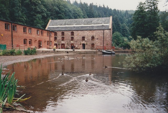
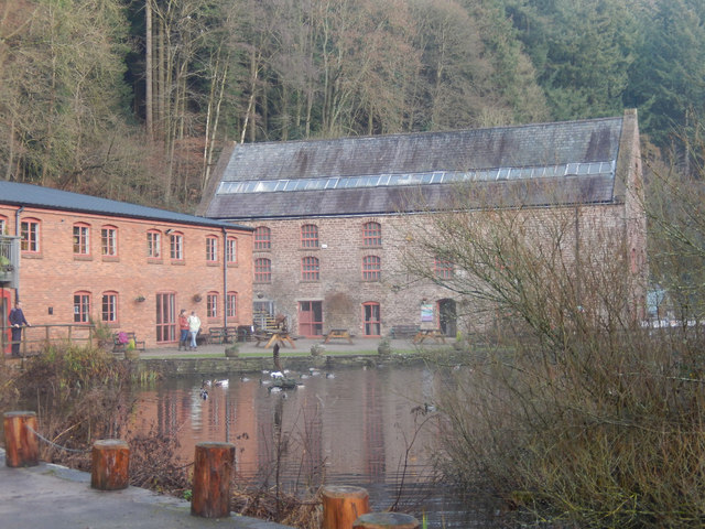
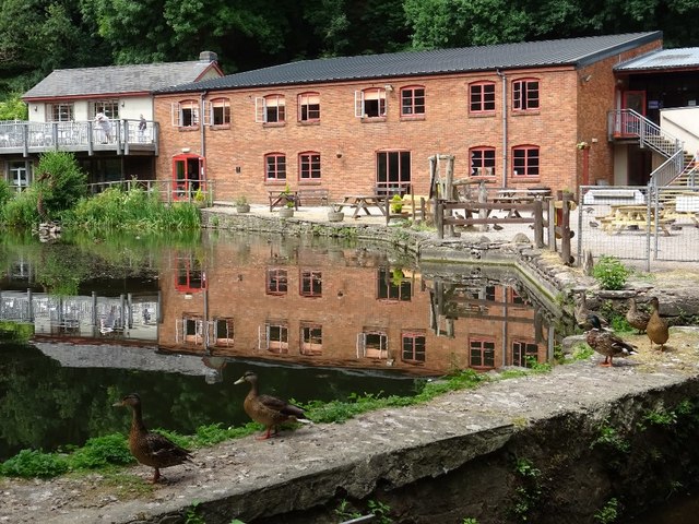
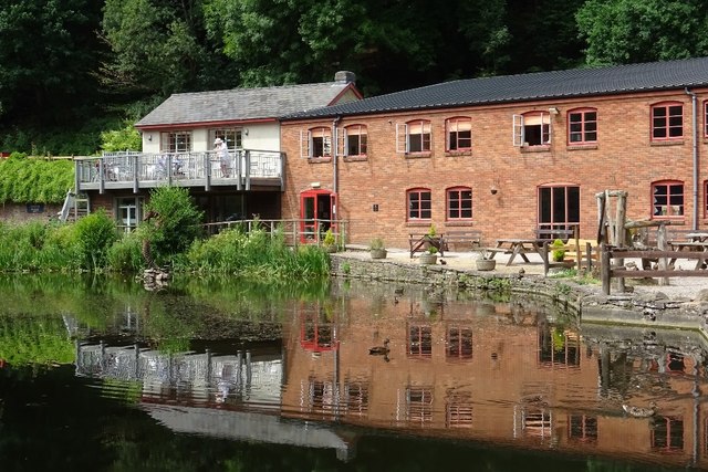
Dean Heritage Centre
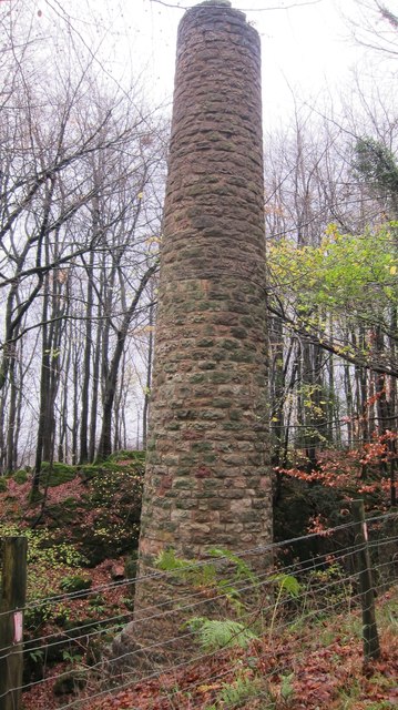
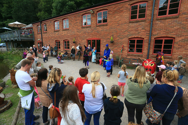
The Dean Heritage Centre is located in the valley of Soudley, Gloucestershire, England in the Forest of Dean and exists to record and preserve the social...

Brain's Green
Brain's Green is a hamlet in Gloucestershire, England. == References ==

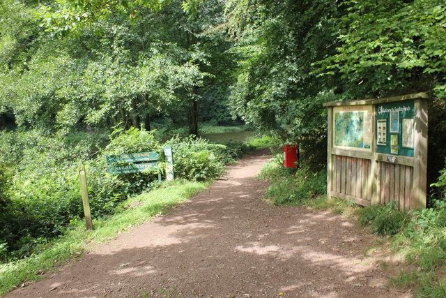
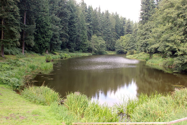
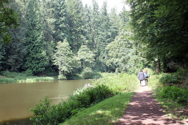
Soudley Ponds
Lying close to the village of Soudley in the Forest of Dean, west Gloucestershire, Soudley Ponds (grid reference SO662112), also known as Sutton Ponds...

Blakeney, Gloucestershire
Blakeney is a village in Gloucestershire, England. It in the parish of Awre and has views of the Forest of Dean. It was the site of a Roman villa, dating...

Eastern United Colliery
Eastern United Colliery was a drift mine in the Forest of Dean, Gloucestershire, England served by the Great Western Railway's Forest of Dean Branch. The...
Nearby Amenities
Located within 500m of 51.778049,-2.4988993Have you been to Broom Hill?
Leave your review of Broom Hill below (or comments, questions and feedback).