Balhagarty Plantation

Wood, Forest in Kincardineshire

Scotland

Balhagarty Plantation

Road between Easter and Nether Tulloch Looking south-eastward.
Road between Easter and Nether Tulloch Credit: Peter Wood

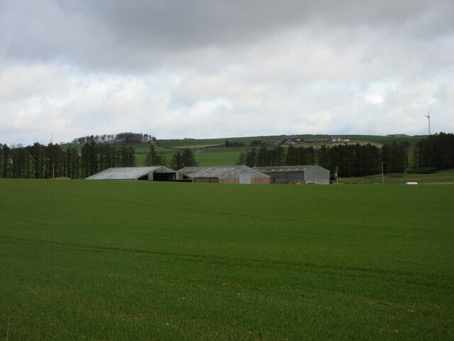
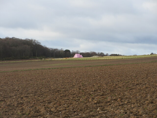
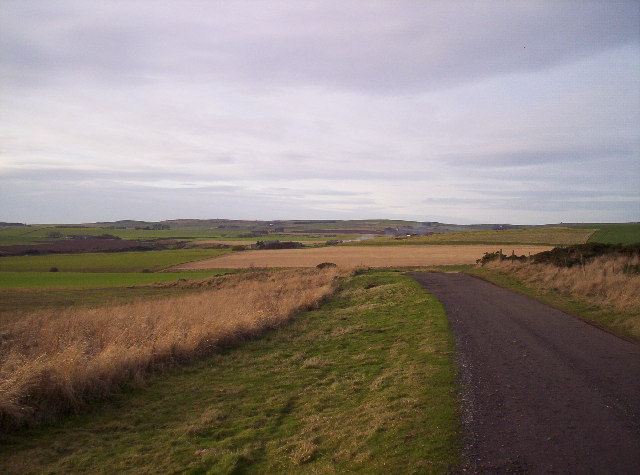
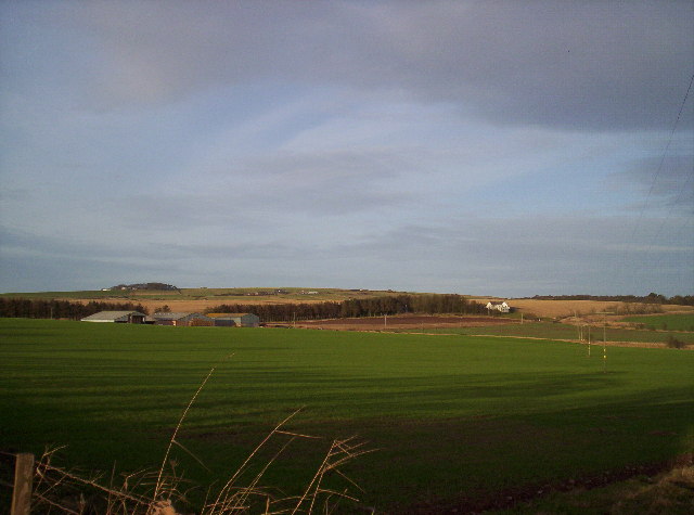
Balhagarty Plantation is an expansive woodland area located in Kincardineshire, Scotland. Situated amidst the breathtaking natural beauty of the region, this plantation covers a vast expanse of land, making it an idyllic destination for nature enthusiasts and outdoor lovers alike.

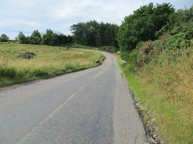
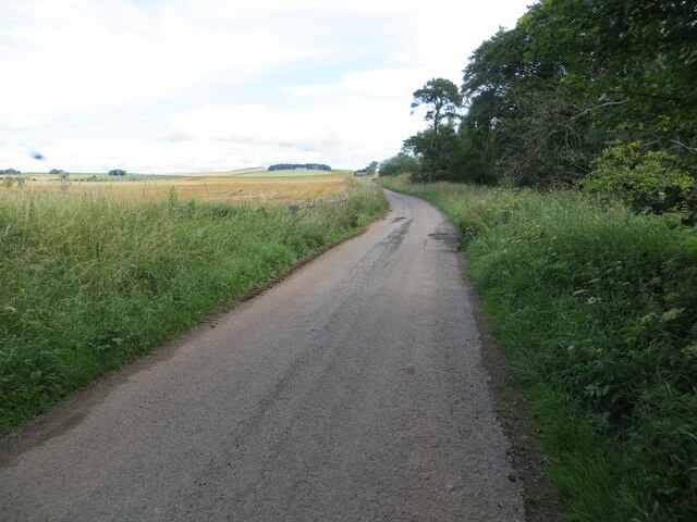
The plantation is characterized by its dense forest, which is primarily composed of a variety of indigenous tree species such as oak, birch, and pine. These towering trees create a lush canopy that provides a habitat for a diverse range of flora and fauna. The forest floor is carpeted with a rich undergrowth of ferns, mosses, and wildflowers, adding to the enchanting atmosphere.

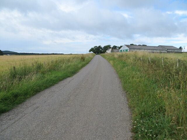
Home to numerous walking trails and paths, Balhagarty Plantation offers visitors the opportunity to explore its natural wonders. These paths meander through the woodland, allowing visitors to immerse themselves in the tranquility of nature while observing the local wildlife. The plantation is particularly known for its birdlife, with species such as woodpeckers, owls, and various songbirds calling it home.

The plantation also serves as a vital ecological site, with efforts made to maintain its natural integrity and preserve its biodiversity. Conservation initiatives are in place to protect the area's unique ecosystem and ensure the sustainability of its resources.

In addition to its natural beauty, Balhagarty Plantation offers recreational activities such as picnicking and camping. Its serene surroundings make it an ideal spot for those seeking solace in nature or engaging in outdoor pursuits.

Overall, Balhagarty Plantation is a captivating woodland retreat that showcases the stunning beauty of Kincardineshire's natural landscape. With its diverse flora and fauna, well-marked trails, and opportunities for outdoor recreation, it is a haven for nature enthusiasts and a worthy destination for anyone seeking to connect with the wonders of the Scottish countryside.

If you have any feedback on the listing, please let us know in the comments section below.

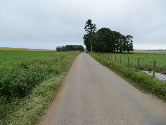
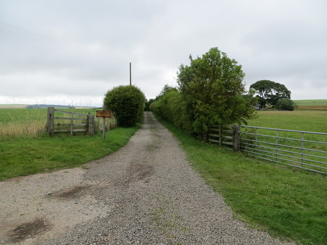
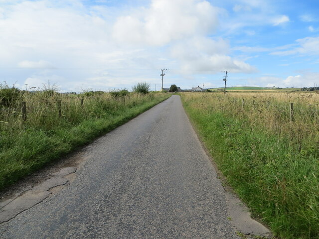
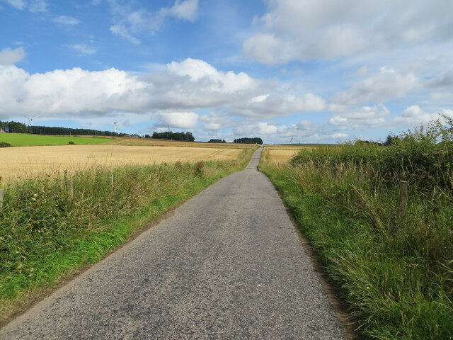
Balhagarty Plantation Images

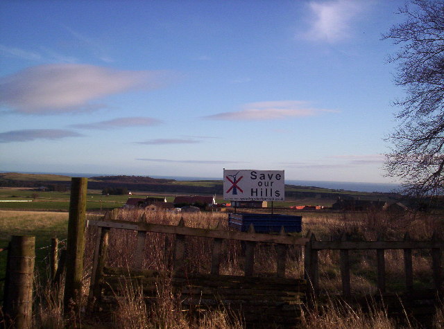
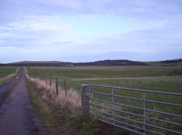
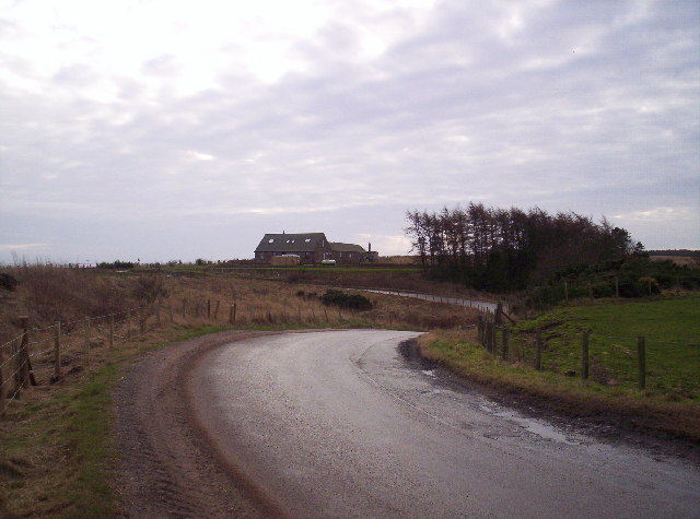
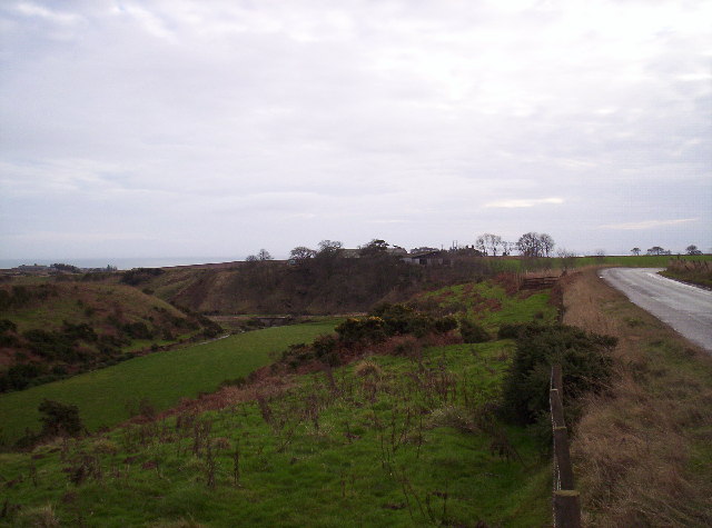
Images are sourced within 2km of 56.816211/-2.3847886 or Grid Reference NO7669. Thanks to Geograph Open Source API. All images are credited.

Road between Easter and Nether Tulloch Looking south-eastward.
Road between Easter and Nether Tulloch
Looking south-eastward.
Hedge enclosed track giving access to Brawliemuir Farm Looking north-westward. Spelling as per farm sign.
Hedge enclosed track giving access to Brawliemuir Farm
Looking north-westward. Spelling as per farm sign.
Minor road approaching Redford Looking south-westward.
Minor road approaching Redford
Looking south-westward.
Minor road between Redford and Tullo Looking north-eastward.
Minor road between Redford and Tullo
Looking north-eastward.
Road (B9120) near to Biddrie Looking south-westward.
Road (B9120) near to Biddrie
Looking south-westward.
Minor road approaching West Balhagarty Looking south-westward.
Minor road approaching West Balhagarty
Looking south-westward.
Minor road beside Balhagarty Plantation Looking north-eastward.
Minor road beside Balhagarty Plantation
Looking north-eastward.
Ordnance Survey Cut Mark This mark can be found on the parapet wall of a road (B9120) bridge near to West Belt.
The recorded details give a height of 130.1039 metres above sea level.
For more detail see : <span class="nowrap"><a title="https://www.bench-marks.org.uk/bm162665" rel="nofollow ugc noopener" href="https://www.bench-marks.org.uk/bm162665">Link</a><img style="margin-left:2px;" alt="External link" title="External link - shift click to open in new window" src="https://s1.geograph.org.uk/img/external.png" width="10" height="10"/></span>
Ordnance Survey Cut Mark
This mark can be found on the parapet wall of a road (B9120) bridge near to West Belt. The recorded details give a height of 130.1039 metres above sea level. For more detail see : LinkExternal link
Farm sheds at Craighead Looking north from the roadside to three large sheds at Craighead.
Farm sheds at Craighead
Looking north from the roadside to three large sheds at Craighead.
Pink bales A distant view of pink-wrapped bales to the north of Muirton on the lower southern slope of Paul Matthew Hill.
Pink bales
A distant view of pink-wrapped bales to the north of Muirton on the lower southern slope of Paul Matthew Hill.
Old fingerpost On the B9120 at West Balhagarty on the route from the A92 to Laurencekirk is this fingerpost with KINCARDINE CC on the annulus.  The main post may have been made at Stanton's foundry.  The sign may have had at least one other finger and may be the only surviving fingerpost set up by the old Kincardine CC but now Aberdeenshire.
Old fingerpost
On the B9120 at West Balhagarty on the route from the A92 to Laurencekirk is this fingerpost with KINCARDINE CC on the annulus. The main post may have been made at Stanton's foundry. The sign may have had at least one other finger and may be the only surviving fingerpost set up by the old Kincardine CC but now Aberdeenshire.
Old fingerpost A full view of this fingerpost with Kincardine CC on the annulus.
Old fingerpost
A full view of this fingerpost with Kincardine CC on the annulus.
Farmland around Brae Cottages The sign is opposition to the proposed wind farm on Hill of Garvock.
Farmland around Brae Cottages
The sign is opposition to the proposed wind farm on Hill of Garvock.
Chapelfield and Den of Finella
Fields, Farm Track and Jackston Farm
Show me another place!

Balhagarty Plantation is located at Grid Ref: NO7669 (Lat: 56.816211, Lng: -2.3847886)

Unitary Authority: Aberdeenshire

Police Authority: North East

What 3 Words

///fields.beginning.lucky. Near St Cyrus, Aberdeenshire

Nearby Locations

Balhagarty Plantation

Related Wikis

Lauriston Castle, Aberdeenshire

Lauriston Castle stands on a clifftop site near the Aberdeenshire village of St Cyrus and just over a mile inland from the North Sea coast of Scotland...

Johnshaven railway station

Johnshaven railway station served the area of Johnshaven, Aberdeenshire, Scotland from 1865 to 1951 on the Montrose and Bervie Railway. == History == The...

Benholm

Benholm is a small settlement in Aberdeenshire, Scotland, UK. It is now a conservation area and is home to Benholm Mill.The A92 passes the eastern edge...

Johnshaven

Johnshaven is a coastal village along the North Sea located in Aberdeenshire, Scotland. About 2 miles (3 km) southwest of Johnshaven lies Milton Ness,...

Have you been to Balhagarty Plantation?

Leave your review of Balhagarty Plantation below (or comments, questions and feedback).