Horseshoe Plantation
Wood, Forest in Roxburghshire
Scotland
Horseshoe Plantation

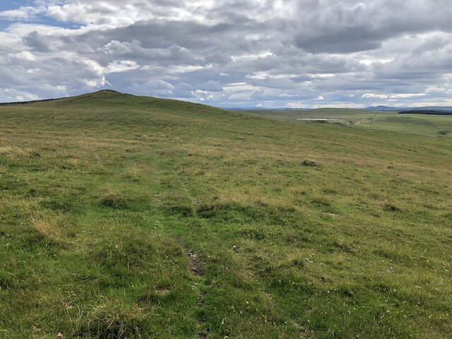
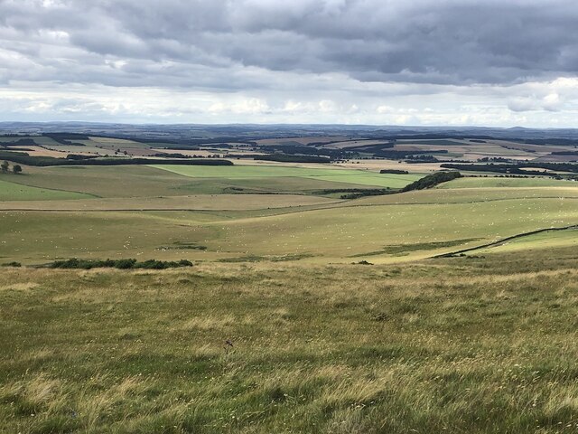
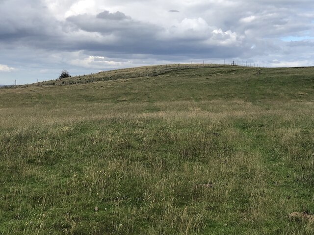
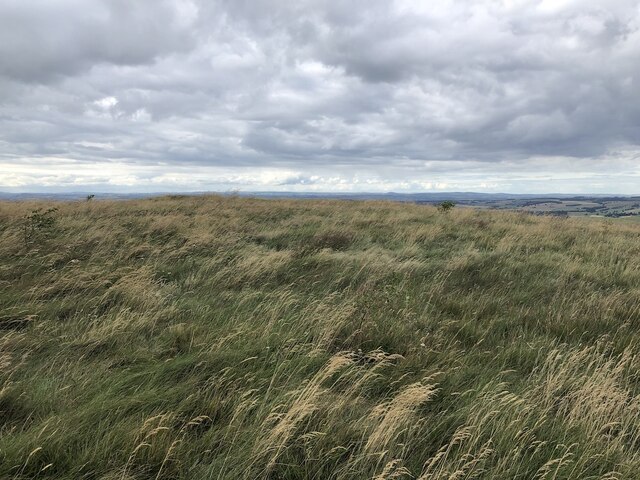
Horseshoe Plantation is a picturesque woodland located in the county of Roxburghshire, Scotland. Spread across a vast area, this forested area offers a serene and tranquil setting for nature enthusiasts and outdoor adventurers alike.
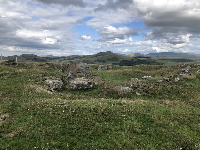
The plantation gets its name from the distinctive horseshoe shape it forms when viewed from above. It is nestled amidst rolling hills and is surrounded by a diverse range of flora and fauna. The woodland consists mainly of native tree species such as oak, birch, and beech, which create a dense canopy overhead.
The forest is crisscrossed by a network of well-maintained trails, making it easily accessible for hikers and walkers. These paths wind through the woodland, providing visitors with the opportunity to explore the natural beauty of the area at their own pace. The trails also offer stunning viewpoints, allowing for breathtaking vistas of the surrounding countryside.
Horseshoe Plantation is home to a variety of wildlife, including deer, foxes, and a rich array of bird species. Birdwatchers will delight in the chance to spot species such as woodpeckers, owls, and buzzards.
In addition to its natural wonders, the woodland also boasts several picnic areas and benches, providing visitors with the perfect spots to relax and enjoy a meal amidst the peaceful surroundings. Overall, Horseshoe Plantation is a haven for nature lovers, offering a tranquil retreat from the hustle and bustle of everyday life.
If you have any feedback on the listing, please let us know in the comments section below.
Horseshoe Plantation Images
Images are sourced within 2km of 55.486806/-2.3703116 or Grid Reference NT7621. Thanks to Geograph Open Source API. All images are credited.


Horseshoe Plantation is located at Grid Ref: NT7621 (Lat: 55.486806, Lng: -2.3703116)
Unitary Authority: The Scottish Borders
Police Authority: The Lothians and Scottish Borders
What 3 Words
///standing.doors.outhouse. Near Jedburgh, Scottish Borders
Nearby Locations
Related Wikis

Hownam
Hownam or Hounam is a small village and parish situated 8 miles east of Jedburgh in the Scottish Borders area of Scotland, near the Anglo-Scottish border...

Morebattle
Morebattle is a village in the Scottish Borders area of Scotland, on the B6401, seven miles south of Kelso, Scottish Borders, beside the Kale Water, a...

Cessford Castle
Cessford Castle is a large ruined mid-15th century L-plan castle near the village of Cessford, midway Jedburgh and Kelso, in the historic county of Roxburghshire...

Cessford, Scottish Borders
Cessford is a hamlet and former barony about a mile south of the B6401 road, in the Scottish Borders area of Scotland. The placename is from Gaelic 'ceis...
Have you been to Horseshoe Plantation?
Leave your review of Horseshoe Plantation below (or comments, questions and feedback).