Balrownie Wood

Wood, Forest in Kincardineshire

Scotland

Balrownie Wood

Inchloan from the north-east Looking south-west from the roadside to Inchloan.
Inchloan from the north-east Credit: Scott Cormie

Balrownie Wood is a captivating forest located in Kincardineshire, Scotland. Spread across an expansive area, this wood is a beloved destination for nature enthusiasts and those seeking tranquility amidst the greenery. The wood is situated near the village of Maryculter and is easily accessible by road.

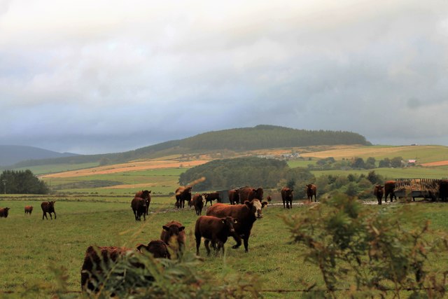
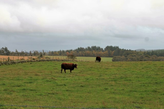
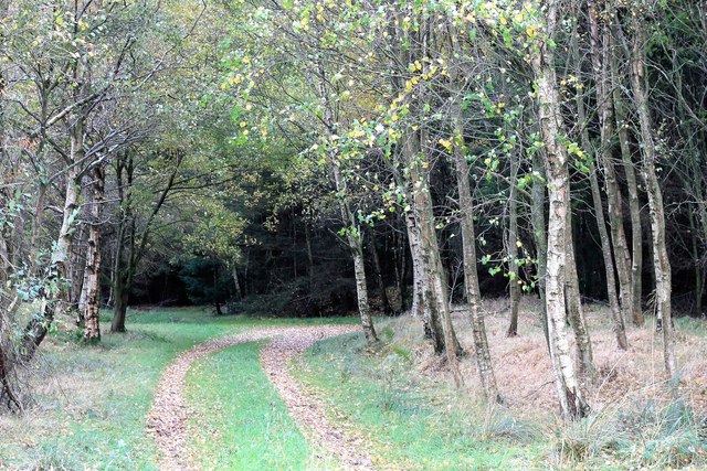
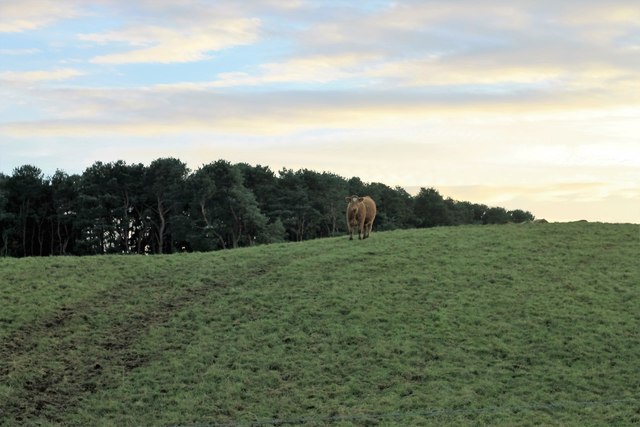
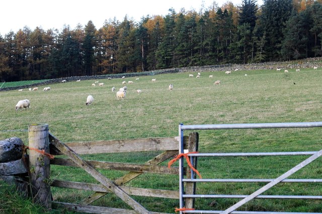
Upon entering Balrownie Wood, visitors are greeted by a diverse array of tree species, including oak, birch, and coniferous trees. The woodland floor is adorned with a carpet of vibrant wildflowers, creating a picturesque landscape. The dense foliage provides a habitat for various wildlife species, such as red squirrels, buzzards, and woodpeckers, making it an ideal spot for birdwatchers and animal enthusiasts.

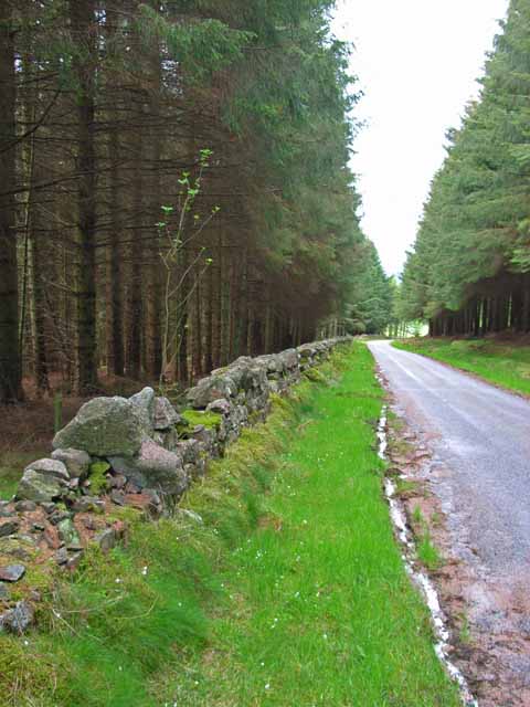
The wood offers a network of well-maintained paths that wind through the forest, allowing visitors to explore its beauty at their own pace. Walking through these trails, one can encounter enchanting streams and small waterfalls, adding to the magical ambiance of the wood. There are also picnic areas dotted throughout the forest, providing a perfect spot to rest and enjoy a packed lunch in the midst of nature.

Balrownie Wood is a haven for outdoor activities, such as hiking, cycling, and photography. Its serene atmosphere and untouched beauty make it a popular destination for locals and tourists alike. Whether it's a leisurely stroll or an adventurous hike, Balrownie Wood offers something for everyone, making it a must-visit destination for nature lovers in Kincardineshire.

If you have any feedback on the listing, please let us know in the comments section below.

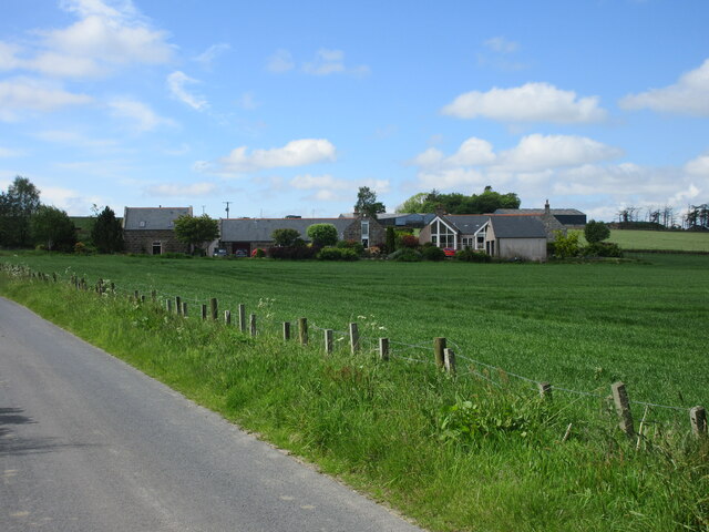
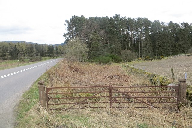
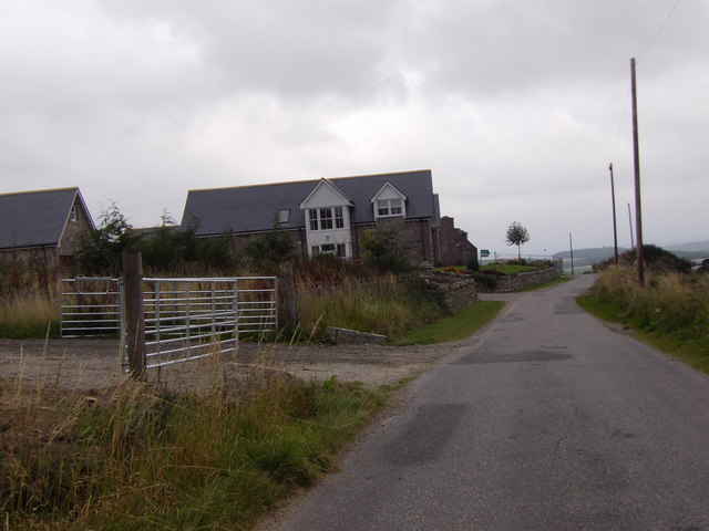
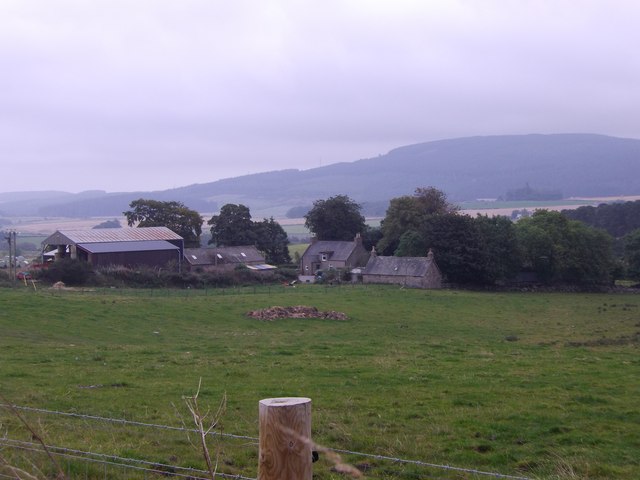
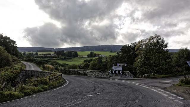
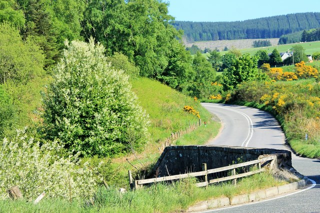
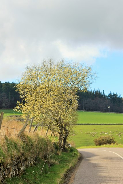
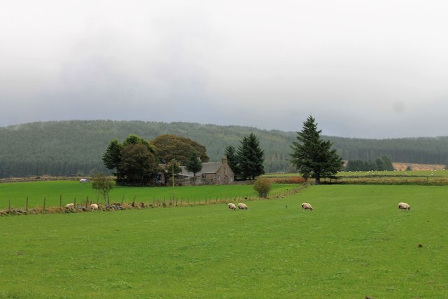
Balrownie Wood Images

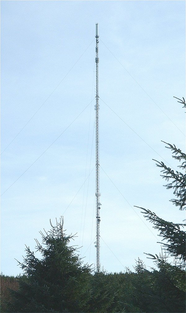
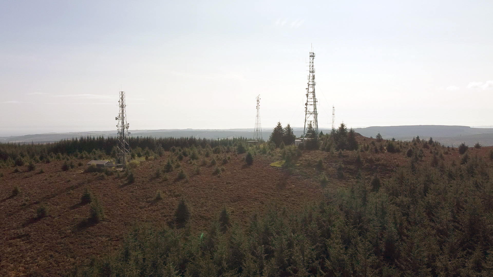
Images are sourced within 2km of 57.018878/-2.4155871 or Grid Reference NO7492. Thanks to Geograph Open Source API. All images are credited.

Inchloan from the north-east Looking south-west from the roadside to Inchloan.
Inchloan from the north-east
Looking south-west from the roadside to Inchloan.
Overgrown gate Woodland access off the A957.
Overgrown gate
Woodland access off the A957.
Upperton Refurbished farmhouse on minor road between Strachan and Blairydrine.
Upperton
Refurbished farmhouse on minor road between Strachan and Blairydrine.
Mains of Blairydrine
Junction on the A957 at Blairydryne
Blairydryne Bridge A tight turn on the Slug Road to Stonehaven, it looks innocuous in summer but can be tricky in winter.
Blairydryne Bridge
A tight turn on the Slug Road to Stonehaven, it looks innocuous in summer but can be tricky in winter.
Tree on a bend A young tree on a bend of the A957 Slug road just south of Quinthelhead.
Tree on a bend
A young tree on a bend of the A957 Slug road just south of Quinthelhead.
Sheep by Lochton Grazing land by Lochton looking towards Quair Cottage on the Slug Road.
Sheep by Lochton
Grazing land by Lochton looking towards Quair Cottage on the Slug Road.
Cattle by Lochton Cattle in a field by Lochton from the Wardend road.
Cattle by Lochton
Cattle in a field by Lochton from the Wardend road.
Crossing the Sheeoch A bridge over the Sheeoch Burn and poly tunnels by Wardend Cottages.
Crossing the Sheeoch
A bridge over the Sheeoch Burn and poly tunnels by Wardend Cottages.
Cattle at Wardend Cattle in a field by Wardend Cottages.
Cattle at Wardend
Cattle in a field by Wardend Cottages.
Cairnfauld Path A path entering Cainfauld Wood.
Cairnfauld Path
A path entering Cainfauld Wood.
Mains of Blairydrine The farmyard of Mains of Blairydrine. The bend in the downpipe took my attention as did the difference in spelling between the farm and nearby bridge.
Mains of Blairydrine
The farmyard of Mains of Blairydrine. The bend in the downpipe took my attention as did the difference in spelling between the farm and nearby bridge.
Lady's Dowry A copse by Blairydrine, Durris mast behind.
Lady's Dowry
A copse by Blairydrine, Durris mast behind.
Hilltop by Blairydryne A quick photo by Blairydryne but already the natives have noticed!
Hilltop by Blairydryne
A quick photo by Blairydryne but already the natives have noticed!
Sheep by Cairnshee Sheep in a field by Cairnshee Wood.
Sheep by Cairnshee
Sheep in a field by Cairnshee Wood.
Log Pile The result of ongoing forestry operations, luckily it was the weekend.
Log Pile
The result of ongoing forestry operations, luckily it was the weekend.
Cut Forest Woodland cut and stacked ready for the mill.
Cut Forest
Woodland cut and stacked ready for the mill.
Show me another place!

Balrownie Wood is located at Grid Ref: NO7492 (Lat: 57.018878, Lng: -2.4155871)

Unitary Authority: Aberdeenshire

Police Authority: North East

What 3 Words

///nags.cyclones.threading. Near Banchory, Aberdeenshire

Nearby Locations

Glen Dhualt Balrownie Wood

Related Wikis

Nearby Amenities

Located within 500m of 57.018878,-2.4155871
Lochtonhouse
Internet Access: wlan
Internet Access Fee: no
Tourism: guest_house
Website: https://www.lochtonhouse.co.uk/
Lat/Long: 57.0213876/-2.4088582
Power: pole
Lat/Long: 57.0171923/-2.4084251
Power: pole
Lat/Long: 57.0174062/-2.4097479
Power: pole
Lat/Long: 57.0175842/-2.4108155
Power: pole
Lat/Long: 57.017793/-2.4120155
Power: pole
Lat/Long: 57.018007/-2.4132381
Power: pole
Lat/Long: 57.0183855/-2.4146251
Power: pole
Lat/Long: 57.0186026/-2.4154093
Power: pole
Lat/Long: 57.0187661/-2.4160083
Power: pole
Lat/Long: 57.019228/-2.4176731
Power: pole
Lat/Long: 57.0195603/-2.4188617
Power: pole
Lat/Long: 57.0199007/-2.4200937
Power: pole
Lat/Long: 57.0202361/-2.4213315
Power: pole
Lat/Long: 57.0205313/-2.4224142
Power: pole
Lat/Long: 57.0148776/-2.4149803
Power: pole
Lat/Long: 57.0154249/-2.4145174
Power: pole
Lat/Long: 57.0158765/-2.4141073
Power: pole
Lat/Long: 57.0164238/-2.4136084
Power: pole
Lat/Long: 57.0168878/-2.4131889
Power: pole
Lat/Long: 57.0175914/-2.4125767
Power: pole
Lat/Long: 57.0182796/-2.4107059
Power: pole
Lat/Long: 57.0189379/-2.4090544
Power: pole
Lat/Long: 57.0196004/-2.4086537
Power: pole
Lat/Long: 57.0202731/-2.4082758
The data included in this document is from www.openstreetmap.org. The data is made available under ODbL.

Have you been to Balrownie Wood?

Leave your review of Balrownie Wood below (or comments, questions and feedback).