Glen Dhualt

Valley in Kincardineshire

Scotland

Glen Dhualt

Overgrown gate Woodland access off the A957.
Overgrown gate Credit: Richard Webb

Glen Dhualt is a picturesque valley located in the rural area of Kincardineshire, Scotland. Nestled amidst the rolling hills and breathtaking landscapes, this valley is known for its natural beauty and tranquility.

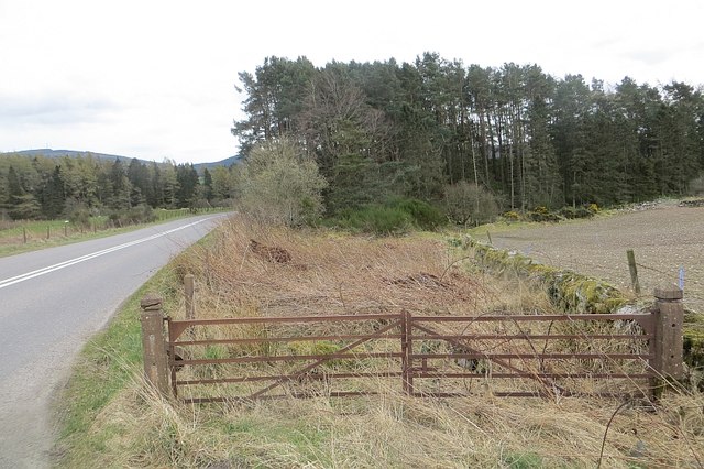
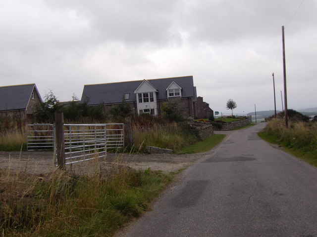
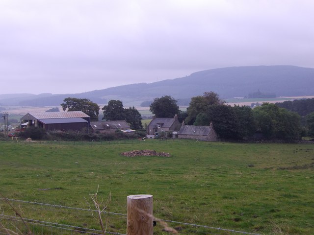
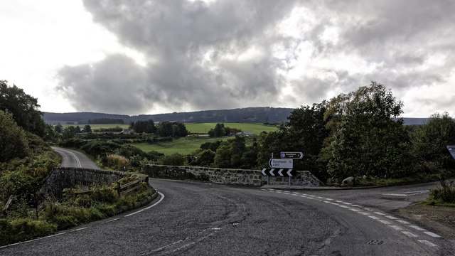
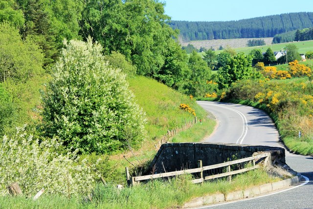
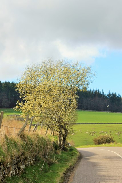
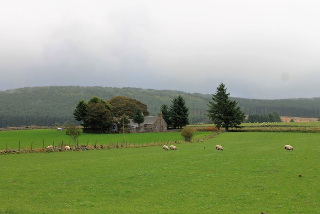
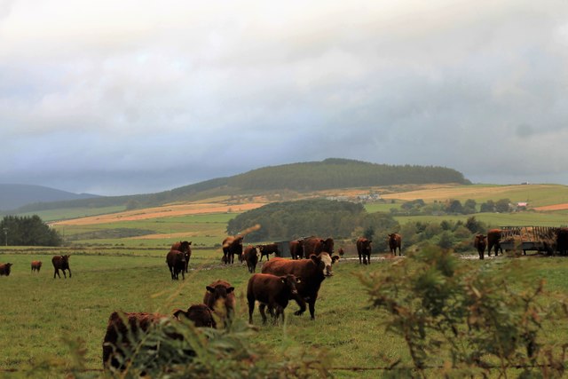
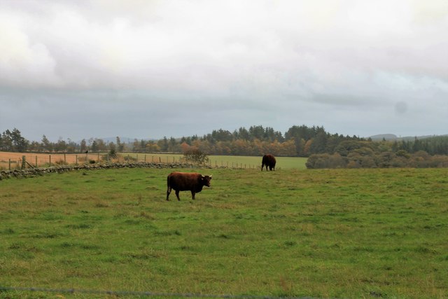
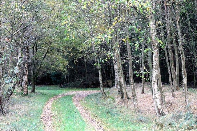
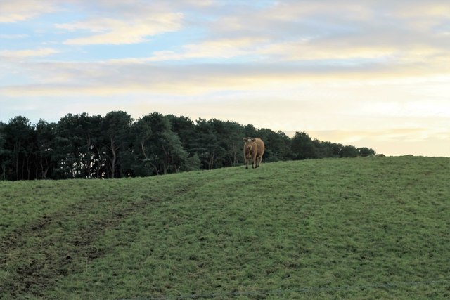
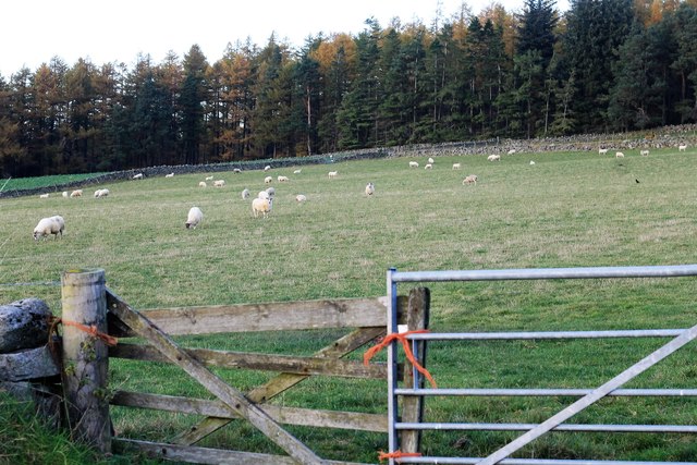
The valley is characterized by its lush green fields, meandering streams, and dense woodlands. The landscape is dotted with charming cottages and farmhouses, adding to the idyllic charm of the area. The valley is surrounded by towering mountains, which provide a stunning backdrop and create a sense of seclusion and privacy.

Glen Dhualt is a haven for nature enthusiasts and outdoor lovers. The area offers numerous walking and hiking trails, allowing visitors to explore the valley and its surroundings. These trails showcase the diversity of the local flora and fauna, with sightings of red deer, wild rabbits, and a variety of bird species being common.

The valley is also home to several ancient historical sites, including standing stones and burial mounds, which provide a glimpse into the area's rich history. These sites attract archaeology enthusiasts and history buffs from far and wide.

Although Glen Dhualt is predominantly rural, there are a few small villages nearby that offer basic amenities such as shops and cafes. The valley is a popular destination for those seeking a peaceful retreat away from the hustle and bustle of city life.

In summary, Glen Dhualt is a stunning valley in Kincardineshire, offering a serene and unspoiled natural environment. With its beautiful landscapes, hiking trails, and historical sites, it is a perfect destination for those seeking a peaceful escape in the Scottish countryside.

If you have any feedback on the listing, please let us know in the comments section below.
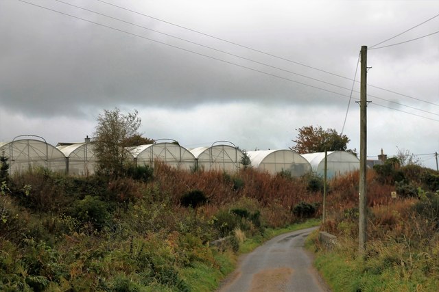
Glen Dhualt Images

Images are sourced within 2km of 57.025702/-2.4246243 or Grid Reference NO7492. Thanks to Geograph Open Source API. All images are credited.

Overgrown gate Woodland access off the A957.
Overgrown gate
Woodland access off the A957.
Upperton Refurbished farmhouse on minor road between Strachan and Blairydrine.
Upperton
Refurbished farmhouse on minor road between Strachan and Blairydrine.
Mains of Blairydrine
Junction on the A957 at Blairydryne
Blairydryne Bridge A tight turn on the Slug Road to Stonehaven, it looks innocuous in summer but can be tricky in winter.
Blairydryne Bridge
A tight turn on the Slug Road to Stonehaven, it looks innocuous in summer but can be tricky in winter.
Tree on a bend A young tree on a bend of the A957 Slug road just south of Quinthelhead.
Tree on a bend
A young tree on a bend of the A957 Slug road just south of Quinthelhead.
Barns Barn Barns Farm and its roadside barn just off the old Slug Road.
Barns Barn
Barns Farm and its roadside barn just off the old Slug Road.
Where Old Meets New The junction of the old and new Slug Roads, 12 miles from Stonehaven!
Where Old Meets New
The junction of the old and new Slug Roads, 12 miles from Stonehaven!
Sheep by Lochton Grazing land by Lochton looking towards Quair Cottage on the Slug Road.
Sheep by Lochton
Grazing land by Lochton looking towards Quair Cottage on the Slug Road.
Cattle by Lochton Cattle in a field by Lochton from the Wardend road.
Cattle by Lochton
Cattle in a field by Lochton from the Wardend road.
Crossing the Sheeoch A bridge over the Sheeoch Burn and poly tunnels by Wardend Cottages.
Crossing the Sheeoch
A bridge over the Sheeoch Burn and poly tunnels by Wardend Cottages.
Cattle at Wardend Cattle in a field by Wardend Cottages.
Cattle at Wardend
Cattle in a field by Wardend Cottages.
Cairnfauld Path A path entering Cainfauld Wood.
Cairnfauld Path
A path entering Cainfauld Wood.
Mains of Blairydrine The farmyard of Mains of Blairydrine. The bend in the downpipe took my attention as did the difference in spelling between the farm and nearby bridge.
Mains of Blairydrine
The farmyard of Mains of Blairydrine. The bend in the downpipe took my attention as did the difference in spelling between the farm and nearby bridge.
Lady's Dowry A copse by Blairydrine, Durris mast behind.
Lady's Dowry
A copse by Blairydrine, Durris mast behind.
Hilltop by Blairydryne A quick photo by Blairydryne but already the natives have noticed!
Hilltop by Blairydryne
A quick photo by Blairydryne but already the natives have noticed!
Sheep by Cairnshee Sheep in a field by Cairnshee Wood.
Sheep by Cairnshee
Sheep in a field by Cairnshee Wood.
Mains of Blairydrine Sheep country...
Mains of Blairydrine
Sheep country...
Show me another place!

Glen Dhualt is located at Grid Ref: NO7492 (Lat: 57.025702, Lng: -2.4246243)

Unitary Authority: Aberdeenshire

Police Authority: North East

What 3 Words

///guitars.elect.grumble. Near Banchory, Aberdeenshire

Nearby Locations

Balrownie Wood Glen Dhualt

Related Wikis

Nearby Amenities

Located within 500m of 57.025702,-2.4246243
Power: pole
Lat/Long: 57.0247962/-2.4169134
Power: pole
Lat/Long: 57.024538/-2.4179962
Power: pole
Lat/Long: 57.0243066/-2.4190091
Power: pole
Lat/Long: 57.0240454/-2.4200144
Power: pole
Lat/Long: 57.0237955/-2.4210953
Power: pole
Lat/Long: 57.0235599/-2.4221157
Power: pole
Lat/Long: 57.0232832/-2.423257
Power: pole
Lat/Long: 57.0230241/-2.4243436
Power: pole
Lat/Long: 57.0227556/-2.4254698
Power: pole
Lat/Long: 57.0224969/-2.4265809
Power: pole
Lat/Long: 57.0222274/-2.4277091
Power: pole
Lat/Long: 57.0221421/-2.4279812
Power: pole
Lat/Long: 57.021887/-2.4288353
Power: pole
Lat/Long: 57.0214241/-2.425655
Power: pole
Lat/Long: 57.0217605/-2.426906
Power: pole
Lat/Long: 57.0226913/-2.4285575
Power: pole
Lat/Long: 57.0231418/-2.4293493
Power: pole
Lat/Long: 57.0236448/-2.430245
Power: pole
Lat/Long: 57.0240778/-2.4310273
Power: pole
Lat/Long: 57.0246692/-2.4320685
Power: pole
Lat/Long: 57.0253562/-2.4323557
Power: pole
Lat/Long: 57.0258509/-2.4325617
Power: pole
Lat/Long: 57.0261903/-2.4318323
Power: pole
Lat/Long: 57.0264824/-2.4311823
Power: pole
Lat/Long: 57.0268608/-2.4309479
Power: pole
Lat/Long: 57.0272866/-2.4306834
Power: pole
Lat/Long: 57.0277083/-2.4304207
Power: pole
Lat/Long: 57.0277314/-2.4174407
Power: pole
Lat/Long: 57.0279433/-2.4185688
Power: pole
Lat/Long: 57.0281757/-2.4198122
Power: pole
Lat/Long: 57.0284318/-2.4211652
Power: pole
Lat/Long: 57.0290807/-2.4208137
The data included in this document is from www.openstreetmap.org. The data is made available under ODbL.

Have you been to Glen Dhualt?

Leave your review of Glen Dhualt below (or comments, questions and feedback).