Close Bottom

Valley in Lancashire Rossendale

England

Close Bottom

Quarry Stone on Edgerton Moss A menhir of the future with Hyndburn Wind Farm on Oswaldtwistle Moor beyond
Quarry Stone on Edgerton Moss Credit: Kevin Waterhouse

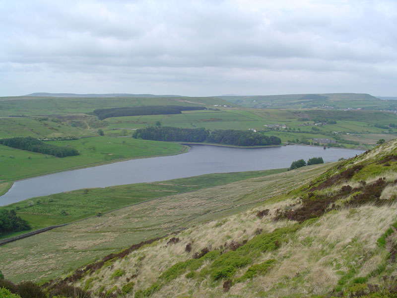
Close Bottom is a small valley located in the county of Lancashire, England. Nestled within the picturesque landscapes of the Ribble Valley, it is a charming and tranquil area that is predominantly rural in nature. The valley is surrounded by rolling hills, lush meadows, and meandering streams, creating a serene and idyllic setting.

Close Bottom is renowned for its natural beauty, attracting visitors who seek a peaceful retreat away from the hustle and bustle of city life. The valley boasts an abundance of flora and fauna, with a rich variety of plant species and wildlife. It is a haven for nature lovers and provides ample opportunities for outdoor activities such as hiking, birdwatching, and photography.

The village of Close Bottom itself is small and close-knit, with a close community spirit. The local residents take pride in their heritage and preserve the traditional charm of the area. The village features quaint cottages, some of which date back several centuries, adding to the historical appeal of the region.

Despite its small size, Close Bottom offers a range of amenities for both residents and visitors. There are several local shops, pubs, and restaurants catering to the needs of the community. Additionally, the valley is within close proximity to larger towns and cities, providing easy access to further amenities and services.

Overall, Close Bottom, Lancashire is a hidden gem in the heart of rural England. Its natural beauty, peaceful ambiance, and strong community spirit make it an ideal destination for those seeking a tranquil retreat amidst stunning natural surroundings.

If you have any feedback on the listing, please let us know in the comments section below.
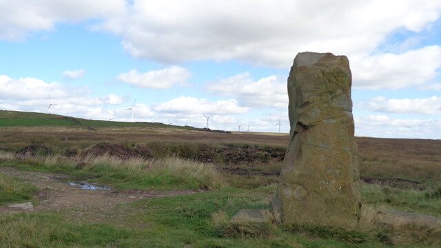
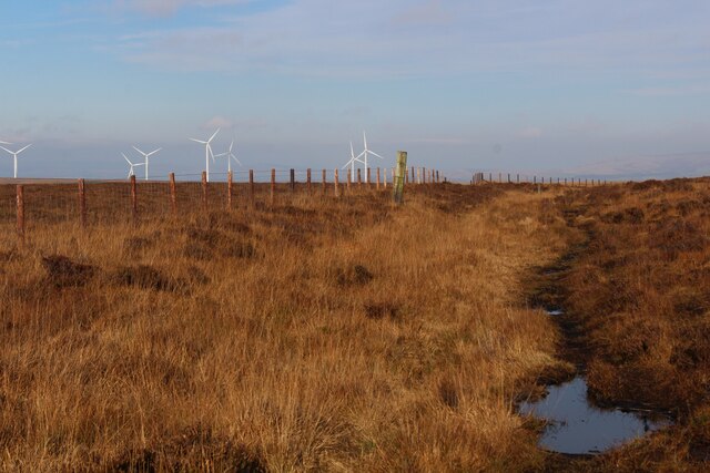
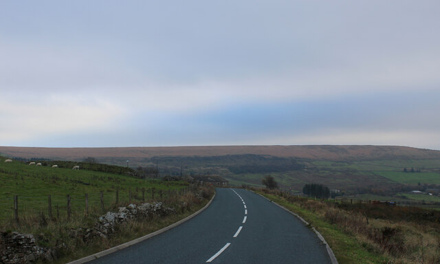
Close Bottom Images

Images are sourced within 2km of 53.70017/-2.3903961 or Grid Reference SD7422. Thanks to Geograph Open Source API. All images are credited.

Quarry Stone on Edgerton Moss A menhir of the future with Hyndburn Wind Farm on Oswaldtwistle Moor beyond
Quarry Stone on Edgerton Moss
A menhir of the future with Hyndburn Wind Farm on Oswaldtwistle Moor beyond
Causeway Height The moorland vegetation has taken on a pleasing autumnal reddish brown colour
Causeway Height
The moorland vegetation has taken on a pleasing autumnal reddish brown colour
Broadhead Road near Clough Head
Track heading to Broadhead Road
Track leading off Hoddlesden Moss into Plantation
Path towards Rushy Hill View from the remains of  Higher Doles where the path continues behind the wall in open access land.
Path towards Rushy Hill
View from the remains of Higher Doles where the path continues behind the wall in open access land.
Rough walking at site of Higher Alley Cross Somewhere is a path in the open access land around Rushy Hill to Elton Road
Rough walking at site of Higher Alley Cross
Somewhere is a path in the open access land around Rushy Hill to Elton Road
Red brick ruin At the site of Hungry Hillock is this more modern structure that appears like several WWII structures that appear on the moors in connection with decoy devices.
Red brick ruin
At the site of Hungry Hillock is this more modern structure that appears like several WWII structures that appear on the moors in connection with decoy devices.
Clough by side of Long Hey Lane The remains of Mean are visible on the hillside beyond as parallel walls
Clough by side of Long Hey Lane
The remains of Mean are visible on the hillside beyond as parallel walls
Old quarry track Heading towards Edgerton Moss and to the old quarries on Boardman Close
Old quarry track
Heading towards Edgerton Moss and to the old quarries on Boardman Close
Old green lane Heading towards Pike Lowe Dole having dropped down from the quarries on Boardman Close. A stream runs down the lane at this point.
Old green lane
Heading towards Pike Lowe Dole having dropped down from the quarries on Boardman Close. A stream runs down the lane at this point.
Calf Hey Reservoir View from the Rossendale Way
Calf Hey Reservoir
View from the Rossendale Way
Path in the woods Heading towards Clough Head car park from the one for Calf Hey Reservoir
Path in the woods
Heading towards Clough Head car park from the one for Calf Hey Reservoir
Layby on B6232
Layby on B6232
Ruin - not 100% sure of what
Public Footpath Sign
Moorland views with Hog Lowe Pike in the distance
Views towards Calf Hey Reservoir
Show me another place!

Close Bottom is located at Grid Ref: SD7422 (Lat: 53.70017, Lng: -2.3903961)

Administrative County: Lancashire

District: Rossendale

Police Authority: Lancashire

What 3 Words

///testers.outboard.mealtime. Near Haslingden, Lancashire

Related Wikis

Calf Hey Reservoir

Calf Hey Reservoir is a reservoir in Haslingden Grane, close to the town of Haslingden, in the Borough of Rossendale, England. It was the first of three...

Yate and Pickup Bank

Yate and Pickup Bank is a civil parish in the borough of Blackburn with Darwen, Lancashire, England. The population of the civil parish taken at the census...

Haslingden Grane

Haslingden Grane is the glaciated upper portion of the valley of the River Ogden, which lies west of Haslingden and is in the north east section of the...

Bank Fold

Bank Fold is a hamlet near Belthorn in Lancashire, England.

Nearby Amenities

Located within 500m of 53.70017,-2.3903961
The data included in this document is from www.openstreetmap.org. The data is made available under ODbL.

Have you been to Close Bottom?

Leave your review of Close Bottom below (or comments, questions and feedback).