Old Reservoir Wood

Wood, Forest in Aberdeenshire

Scotland

Old Reservoir Wood

Weakened bridge over Corskie Burn has resulted in the closure of a minor road at Craigiedarg Looking southward.
Weakened bridge over Corskie Burn has resulted in the closure of a minor road at Craigiedarg Credit: Peter Wood

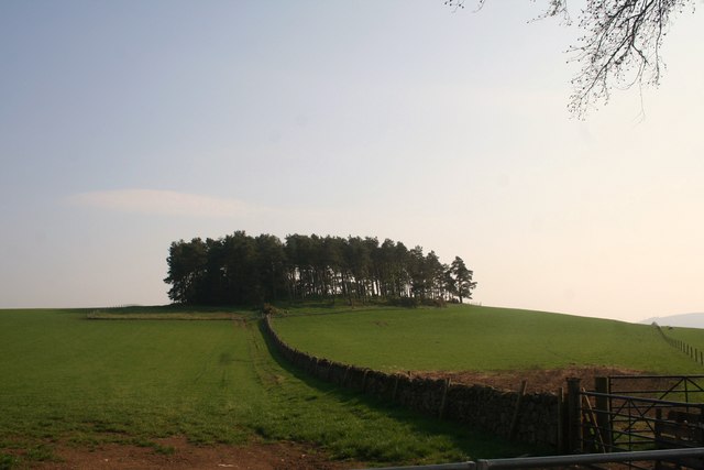
Old Reservoir Wood is a picturesque forest located in Aberdeenshire, Scotland. Spread across an area of approximately 100 acres, this woodland is known for its stunning natural beauty and diverse range of flora and fauna. Situated near the town of Insch, the wood is easily accessible to both locals and tourists.

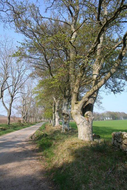
The forest is characterized by a mixture of deciduous and coniferous trees, creating a vibrant and colorful landscape throughout the year. Majestic oak, beech, and birch trees dominate the area, while spruces and pines provide a contrasting green backdrop. The dense canopy of the trees provides shelter and nesting sites for a variety of bird species, including woodpeckers, owls, and songbirds.

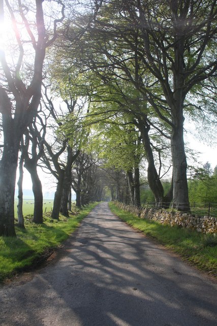
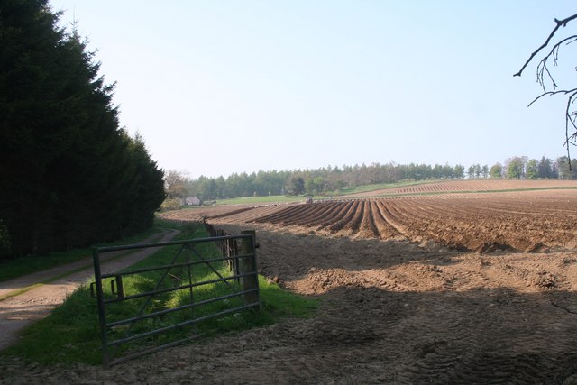
Old Reservoir Wood also boasts a network of well-maintained walking trails, allowing visitors to explore the forest at their own pace. The trails wind through the wood, offering glimpses of small streams, moss-covered rocks, and enchanting clearings. The peaceful atmosphere and tranquil surroundings make it an ideal spot for nature lovers and those seeking a respite from the hustle and bustle of everyday life.

The wood is also home to a diverse range of wildlife, including red squirrels, roe deer, and foxes. Visitors may be lucky enough to spot these creatures as they go about their daily activities. The wood is managed with conservation in mind, ensuring the preservation of the natural habitat and the protection of the species that call it home.

Overall, Old Reservoir Wood in Aberdeenshire is a haven of natural beauty, providing a peaceful and immersive experience for anyone seeking a connection with nature.

If you have any feedback on the listing, please let us know in the comments section below.

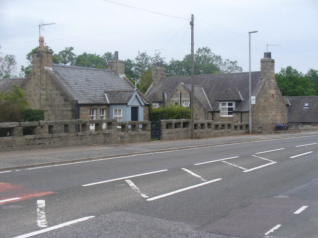
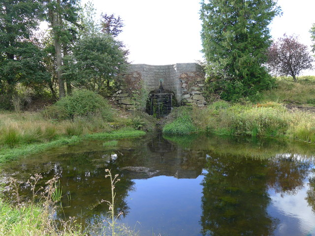
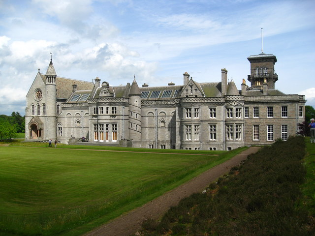
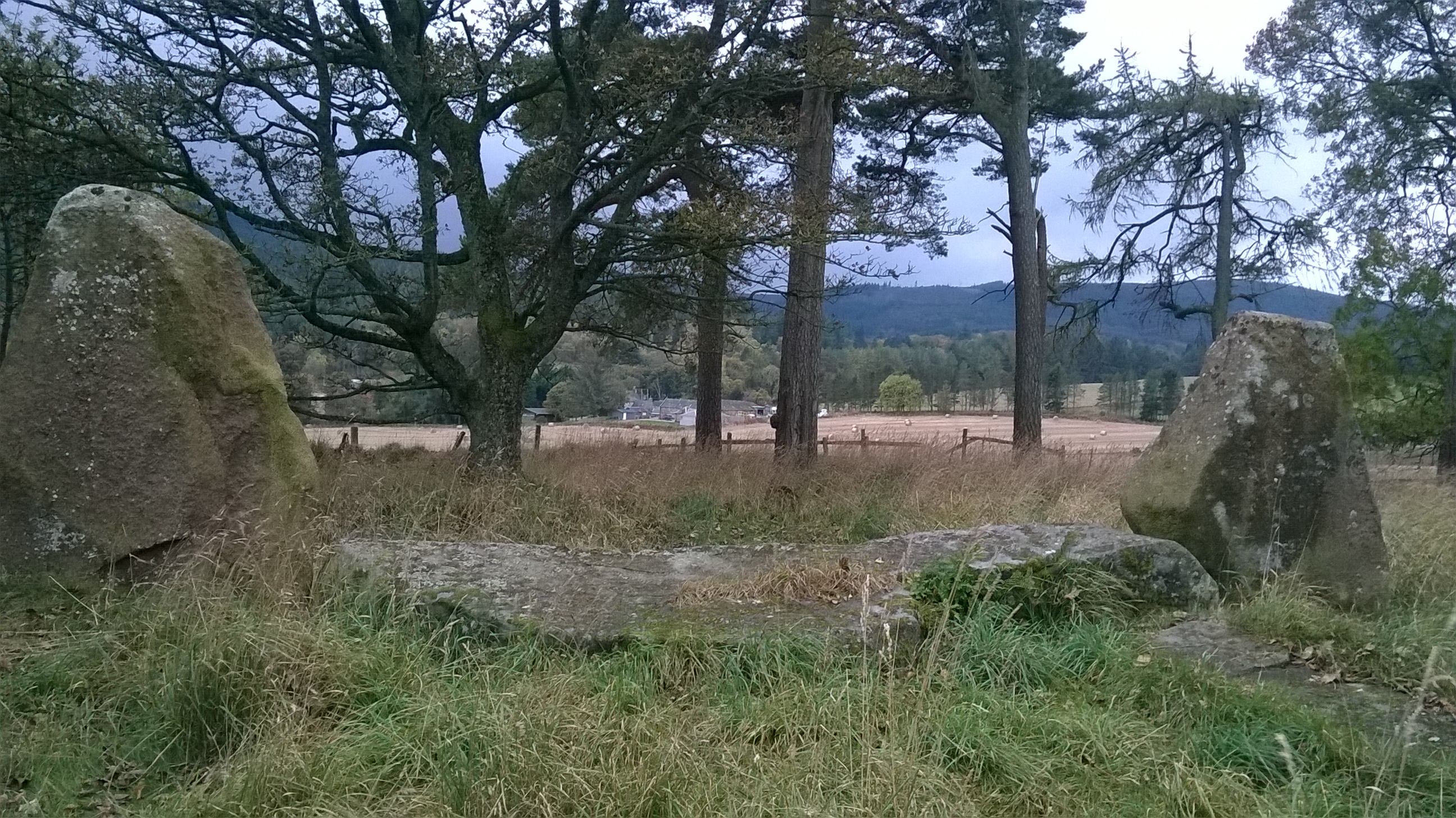
Old Reservoir Wood Images

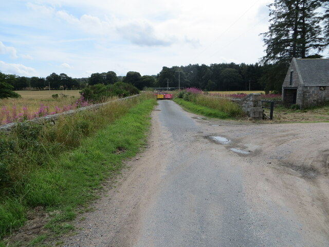
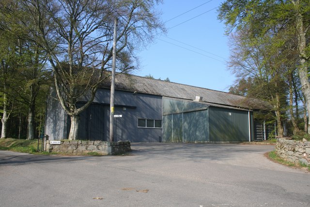
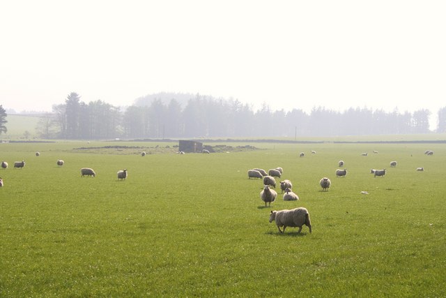
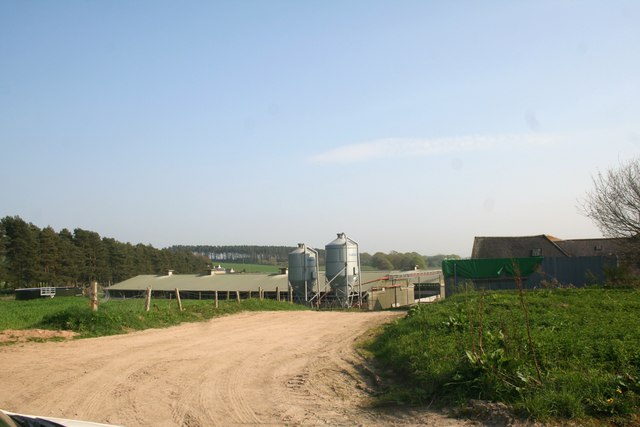
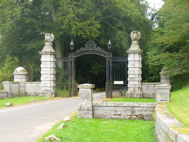
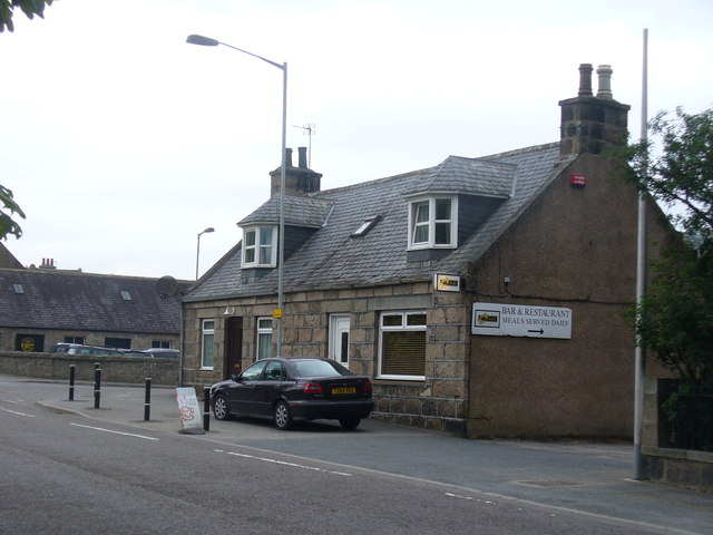
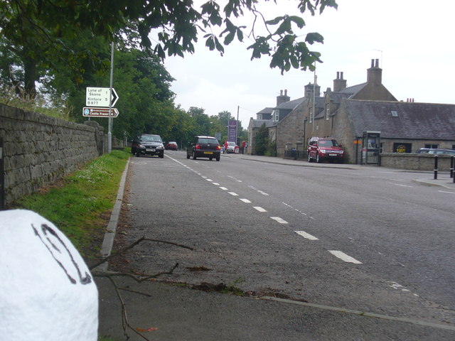
Images are sourced within 2km of 57.162773/-2.4174158 or Grid Reference NJ7408. Thanks to Geograph Open Source API. All images are credited.

Weakened bridge over Corskie Burn has resulted in the closure of a minor road at Craigiedarg Looking southward.
Weakened bridge over Corskie Burn has resulted in the closure of a minor road at Craigiedarg
Looking southward.
Tillymannoch Farm Tillymannoch,meaning the middle hill, by Echt.
Tillymannoch Farm
Tillymannoch,meaning the middle hill, by Echt.
Road by Tillymannoch The tree lined road leading to the B977 with Tillymannoch Wood on the right.
Road by Tillymannoch
The tree lined road leading to the B977 with Tillymannoch Wood on the right.
Sheep by Tillymannoch Sheep grazing by Tillymannoch on the Dunecht estate.
Sheep by Tillymannoch
Sheep grazing by Tillymannoch on the Dunecht estate.
Monecht Copse A small copse by Monecht.
Monecht Copse
A small copse by Monecht.
Culfosie Fields Fields by Culfosie tilled and planted presumably with potatoes a tree belt shelters the farm road on the left.
Culfosie Fields
Fields by Culfosie tilled and planted presumably with potatoes a tree belt shelters the farm road on the left.
Roadside Trees by Culfosie The tree lined road by Easter Culfosie.Culfosie means nok of rest ,apt on this day at least.
Roadside Trees by Culfosie
The tree lined road by Easter Culfosie.Culfosie means nok of rest ,apt on this day at least.
North Mains The North Mains of Echt.
North Mains
The North Mains of Echt.
North Mains Silos Silos and farm sheds at the North Mains of Echt.
North Mains Silos
Silos and farm sheds at the North Mains of Echt.
A sign of Irony? The western entrance to Dunecht showing a rather battered roadsign.
A sign of Irony?
The western entrance to Dunecht showing a rather battered roadsign.
Gateway at Dunecht Ornate stone gateway with wrought iron arch, Dunecht. The driveway leads, through extensive grounds, to Dunecht House.
<span class="nowrap"><a title="http://www.dunechtestates.co.uk/" rel="nofollow ugc noopener" href="http://www.dunechtestates.co.uk/">Link</a><img style="margin-left:2px;" alt="External link" title="External link - shift click to open in new window" src="https://s1.geograph.org.uk/img/external.png" width="10" height="10"/></span>
Gateway at Dunecht
Ornate stone gateway with wrought iron arch, Dunecht. The driveway leads, through extensive grounds, to Dunecht House. LinkExternal link
Jaff's, Dunecht Village bar and restaurant at Dunecht, on the Alford Road west of Aberdeen.
Jaff's, Dunecht
Village bar and restaurant at Dunecht, on the Alford Road west of Aberdeen.
Dunecht, 12 Miles From Aberdeen Milestone on the A944, Aberdeen-Alford road, at Dunecht.
Dunecht, 12 Miles From Aberdeen
Milestone on the A944, Aberdeen-Alford road, at Dunecht.
Bridgend, Dunecht The east end of the village, close to where the A944 Alford road crosses the Corskie Burn.
Bridgend, Dunecht
The east end of the village, close to where the A944 Alford road crosses the Corskie Burn.
Dunecht Estate Policy Loch dam Above and behind this dam is the man made Policy loch on the Dunecht estate. It has recently been revealed due to extensive cutting back of vegetation which partially hid it from view. The gargoyle outlet feeds a pond which in turn overflows into a stream which flows through the estate and eventually into the Loch of Skene to the east.
Dunecht Estate Policy Loch dam
Above and behind this dam is the man made Policy loch on the Dunecht estate. It has recently been revealed due to extensive cutting back of vegetation which partially hid it from view. The gargoyle outlet feeds a pond which in turn overflows into a stream which flows through the estate and eventually into the Loch of Skene to the east.
Dunecht Estate Autumn Reflections Autumn colours reflected in a small lochan in Dunecht Estate.
Dunecht Estate Autumn Reflections
Autumn colours reflected in a small lochan in Dunecht Estate.
Meanecht Farm Standing Stone A standing stone in a Meanecht farm field north of Meanecht Rushes. The stone lies due east of Barmekin Hill which is 3km to the west and can clearly be seen in the background (in NJ7207).
Meanecht Farm Standing Stone
A standing stone in a Meanecht farm field north of Meanecht Rushes. The stone lies due east of Barmekin Hill which is 3km to the west and can clearly be seen in the background (in NJ7207).
Dunecht Estate Policy Loch Boat House Early morning mist on the Policy Loch showing the conical roof of the boathouse with Tillymanoch wood to the right.
Dunecht Estate Policy Loch Boat House
Early morning mist on the Policy Loch showing the conical roof of the boathouse with Tillymanoch wood to the right.
Show me another place!

Old Reservoir Wood is located at Grid Ref: NJ7408 (Lat: 57.162773, Lng: -2.4174158)

Unitary Authority: Aberdeenshire

Police Authority: North East

What 3 Words

///octagon.quantity.retraced. Near Sauchen, Aberdeenshire

Related Wikis

Nearby Amenities

Located within 500m of 57.162773,-2.4174158
Power: pole
Lat/Long: 57.1665917/-2.4169818
Power: pole
Lat/Long: 57.1667202/-2.4180616
Power: pole
Lat/Long: 57.1668558/-2.4191743
Power: pole
Lat/Long: 57.1669867/-2.4202716
Power: pole
Lat/Long: 57.1658539/-2.4169686
Power: pole
Lat/Long: 57.1650566/-2.4169467
Power: pole
Lat/Long: 57.1642141/-2.4169028
Power: pole
Lat/Long: 57.1637774/-2.4169072
Power: pole
Lat/Long: 57.1631324/-2.4168874
Power: pole
Lat/Long: 57.1625112/-2.4167031
Power: pole
Lat/Long: 57.1618971/-2.4165078
Power: pole
Lat/Long: 57.1653934/-2.417987
The data included in this document is from www.openstreetmap.org. The data is made available under ODbL.

Have you been to Old Reservoir Wood?

Leave your review of Old Reservoir Wood below (or comments, questions and feedback).