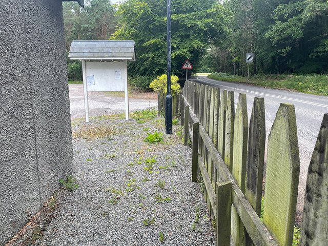
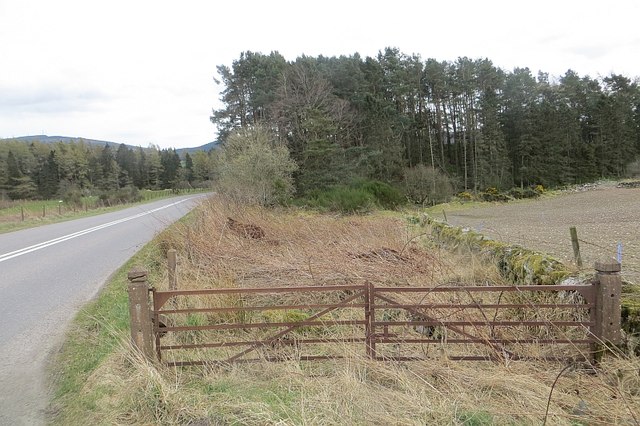
Barns Wood
Wood, Forest in Kincardineshire
Scotland
Barns Wood
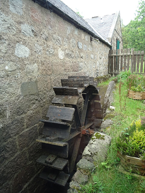
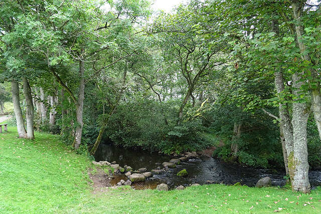
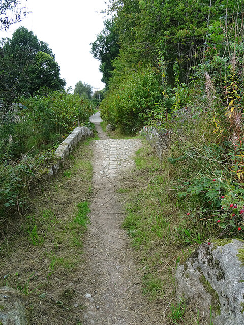
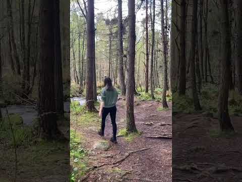
Barns Wood is a picturesque forest located in Kincardineshire, Scotland. Covering an area of approximately 100 acres, it is a popular destination for nature enthusiasts and hikers seeking a tranquil escape from the hustle and bustle of city life.
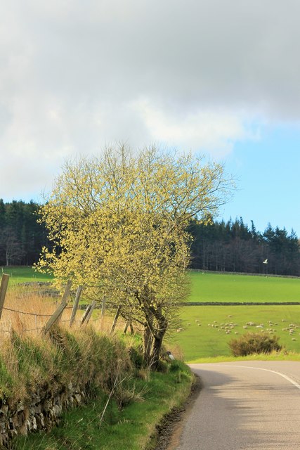
The wood is predominantly composed of native tree species such as oak, birch, and beech, creating a diverse and vibrant ecosystem. These trees provide shelter and nesting sites for a variety of bird species, including woodpeckers and owls, making it a haven for birdwatchers.
The woodland floor is adorned with a rich carpet of wildflowers, including bluebells and primroses, adding bursts of color to the landscape during the springtime. This vibrant undergrowth also attracts a range of small mammals, such as hedgehogs and foxes, which can often be spotted foraging for food.
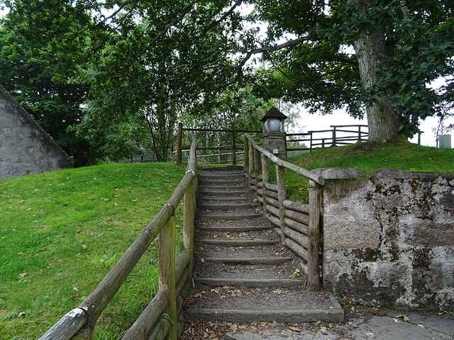
Tranquil pathways wind through the forest, offering visitors the opportunity to explore its natural beauty at their own pace. These trails are well-maintained and suitable for all levels of fitness, making it accessible to families and individuals of all ages.
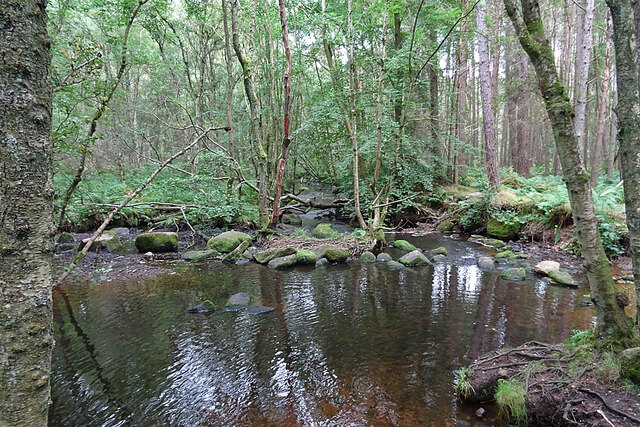
Barns Wood is also home to a small pond, which adds to the diversity of the habitat and provides a home for various aquatic species, including frogs and dragonflies. The pond is a popular spot for children to explore and learn about the delicate balance of nature.
Overall, Barns Wood is a haven of tranquility and natural beauty, offering visitors the chance to immerse themselves in the wonders of Scotland's woodlands and appreciate the rich biodiversity it supports.
If you have any feedback on the listing, please let us know in the comments section below.
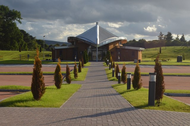
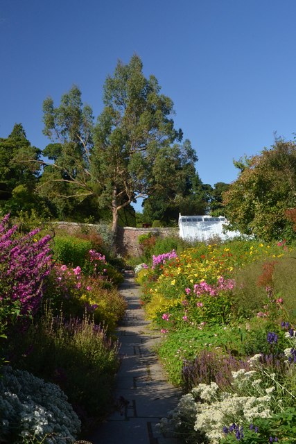
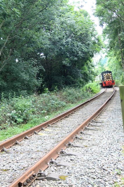
Barns Wood Images
Images are sourced within 2km of 57.044605/-2.4266365 or Grid Reference NO7494. Thanks to Geograph Open Source API. All images are credited.


Barns Wood is located at Grid Ref: NO7494 (Lat: 57.044605, Lng: -2.4266365)
Unitary Authority: Aberdeenshire
Police Authority: North East
What 3 Words
///success.surprise.rejoiced. Near Banchory, Aberdeenshire
Nearby Locations
Related Wikis

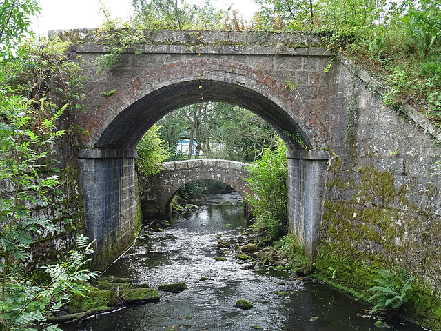
Coy Burn
Coy Burn is a stream that rises in the hills north of Banchory in Aberdeenshire, Scotland. Coy Burn discharges to the River Dee at Milton of Crathes....

Banchory St Ternan F.C.
Banchory St. Ternan Football Club are a Scottish Junior football club based in Crathes, two miles outside the town of Banchory, Aberdeenshire. The club...

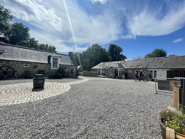
Milton of Crathes
Milton of Crathes is a complex of restored 17th-century stone buildings, associated with, and previously an outlier of, Crathes Castle in Aberdeenshire...

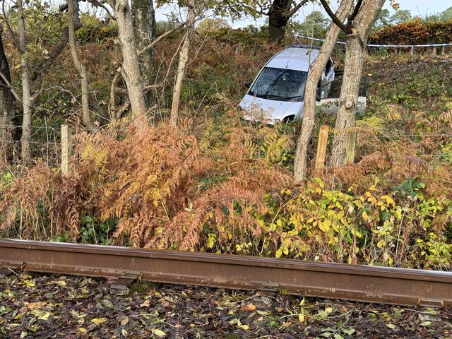
Milton of Crathes railway station
Milton of Crathes railway station is located at Milton of Crathes, three miles east of Banchory, Royal Deeside, Aberdeenshire, Scotland, United Kingdom...
Related Videos

Crathes Castle’s Gardens Walk, Scotland Travel
Crathes Castle's Gardens Walk, Scotland Travel. The video was recorded on location by DJI Pocket 2 and Zoom H5 audio ...


Crathes Castle Parkland Walk, Scotland Countryside 4K
Ley Way, Crathes Castle Parkland Walk, Scotland Countryside 4K. The video was recorded on location by DJI Pocket 2 and Zoom ...
Nearby Amenities
Located within 500m of 57.044605,-2.4266365Have you been to Barns Wood?
Leave your review of Barns Wood below (or comments, questions and feedback).