Chapelhill

Settlement in Pembrokeshire

Wales

Chapelhill

Orielton Field Centre This is Orielton Field Centre, a Georgian manor house dating from 1743 owned by the Field Studies Council.
Orielton Field Centre Credit: kathrynFSC Orielton

The requested URL returned error: 429 Too Many Requests

If you have any feedback on the listing, please let us know in the comments section below.
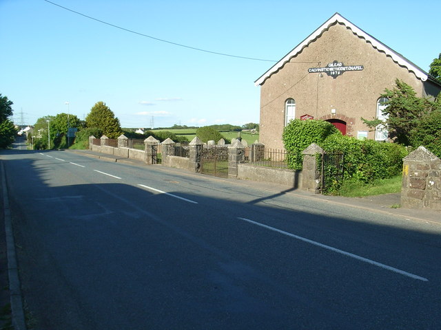
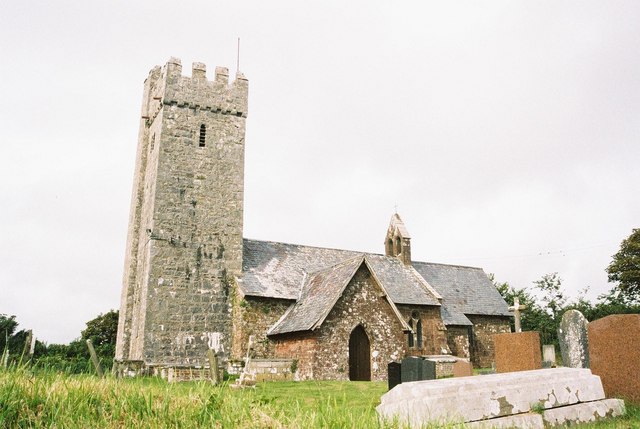
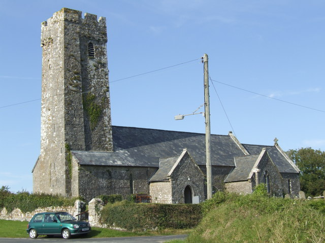
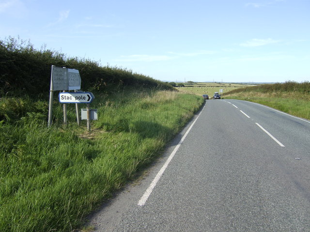
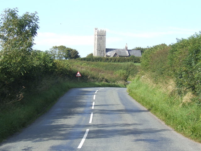
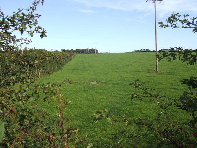
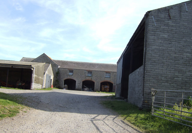
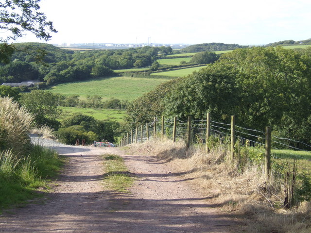
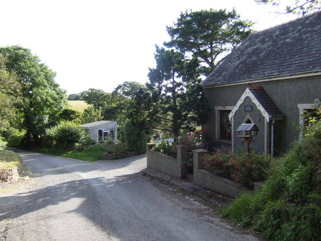
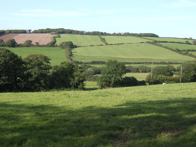
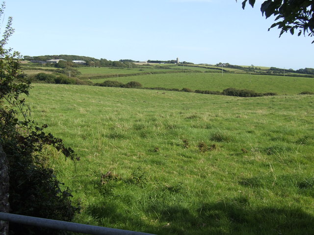
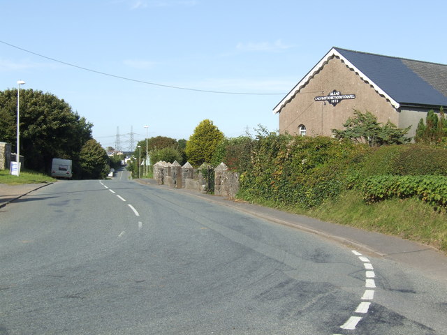
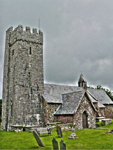
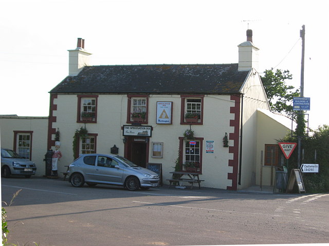
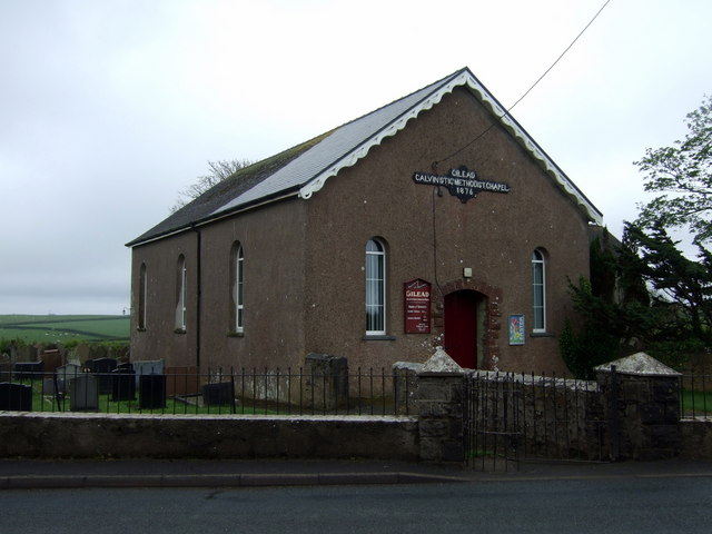
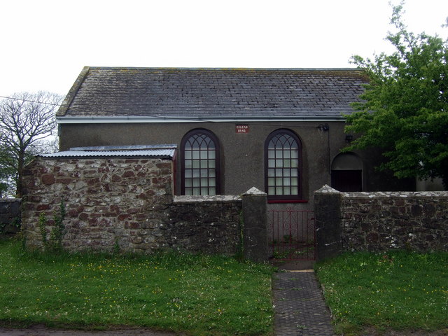
Chapelhill Images

Images are sourced within 2km of 51.644146/-4.951962 or Grid Reference SR9598. Thanks to Geograph Open Source API. All images are credited.

Orielton Field Centre This is Orielton Field Centre, a Georgian manor house dating from 1743 owned by the Field Studies Council.
Orielton Field Centre
This is Orielton Field Centre, a Georgian manor house dating from 1743 owned by the Field Studies Council.
Gilead Calvinistic Methodist Chapel 1876
St. Petrox: parish church of St. Petrox Needless to say, the village gets its name from the dedication of the church.
St. Petrox: parish church of St. Petrox
Needless to say, the village gets its name from the dedication of the church.
St. Twynnells church The tall tower must be visible from the sea only a few miles to the south.
St. Twynnells church
The tall tower must be visible from the sea only a few miles to the south.
B4319 south of Pembroke
B4319 and St. Petrox There's something about a stretch of road that points directly at a church tower!
B4319 and St. Petrox
There's something about a stretch of road that points directly at a church tower!
Pasture land by Sampson Cross
Loveston Farm South of the B4319 near St. Twynnells
Loveston Farm
South of the B4319 near St. Twynnells
View north of St. Twynnells Leading the eye to oil storage tanks at Milford Haven.
View north of St. Twynnells
Leading the eye to oil storage tanks at Milford Haven.
Old chapel on Chapelhill
Countryside north of St. Twynnells The Orielton Tower folly can be seen on the hill in the distance.
Countryside north of St. Twynnells
The Orielton Tower folly can be seen on the hill in the distance.
View to St. Petrox Pasture land near Iveston.
View to St. Petrox
Pasture land near Iveston.
Bend in the road at Gilead Adjacent to the Gilead Calvinistic Methodist Chapel, dated 1876
Bend in the road at Gilead
Adjacent to the Gilead Calvinistic Methodist Chapel, dated 1876
St Petrox Church A view of St Petrox Church.
St Petrox Church
A view of St Petrox Church.
The Speculation Inn
The Speculation Inn
Tumulus (one of Dry Barrows)
Gilead at Maiden Wells The chapel was founded in the 1840s (and rebuilt 1876) to serve the expanding population of C19 linear village of Maiden Wells.
Gilead at Maiden Wells
The chapel was founded in the 1840s (and rebuilt 1876) to serve the expanding population of C19 linear village of Maiden Wells.
Gilead 1845 This smaller building, dated 1845, stands across the road from the main Gilead chapel which is dated 1876.  It may be the original chapel?
Gilead 1845
This smaller building, dated 1845, stands across the road from the main Gilead chapel which is dated 1876. It may be the original chapel?
Show me another place!

Chapelhill is located at Grid Ref: SR9598 (Lat: 51.644146, Lng: -4.951962)

Unitary Authority: Pembrokeshire

Police Authority: Dyfed Powys

What 3 Words

///fried.wimp.crystal. Near Hundleton, Pembrokeshire

Related Wikis

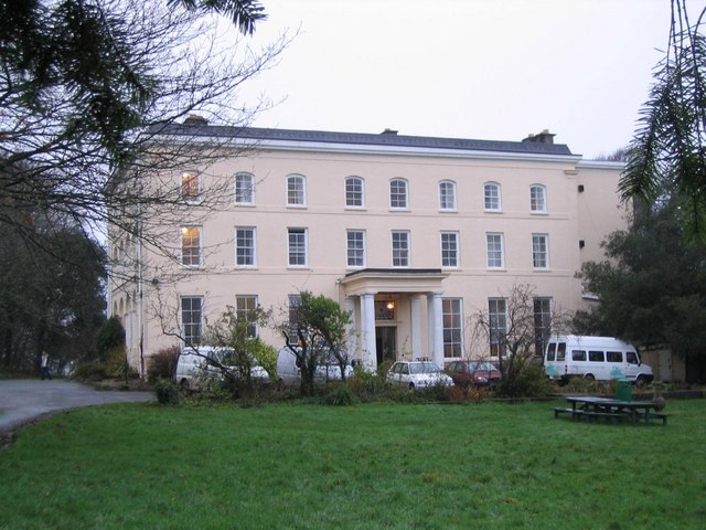
Orielton, Pembrokeshire

Orielton is a historic country house near Hundleton in Pembrokeshire, Wales. It has been used as a field studies centre for environmental sciences but...

Maiden Wells

Maiden Wells is a small village located 1.6 miles (2.6 km) south of Pembroke in Pembrokeshire, Wales. The earliest reference to Maiden Wells is 'Mayden...

Castlemartin Training Area

Castlemartin Training Area is a British Army military training area and armoured fighting vehicle range located in the Welsh county of Pembrokeshire. It...

Stackpole and Castlemartin

Stackpole and Castlemartin is a community in Pembrokeshire, Wales, 4 miles (6.4 km) south of Pembroke.It was formed in 2011 by the amalgamation of the...

Nearby Amenities

Located within 500m of 51.644146,-4.951962
Power: pole
Lat/Long: 51.6457268/-4.9451834
Power: pole
Lat/Long: 51.6447182/-4.9476349
Power: pole
Lat/Long: 51.6438227/-4.94977
Power: pole
Lat/Long: 51.6429822/-4.9517093
Power: pole
Lat/Long: 51.6427458/-4.9522698
Power: pole
Lat/Long: 51.6408566/-4.9564219
Power: pole
Lat/Long: 51.6414458/-4.9550647
Power: pole
Lat/Long: 51.6428773/-4.9514329
Power: pole
Lat/Long: 51.6435963/-4.9496305
Power: pole
Lat/Long: 51.6445051/-4.9474096
Power: pole
Lat/Long: 51.6449545/-4.9463046
Power: pole
Lat/Long: 51.6443087/-4.9455214
Power: pole
Lat/Long: 51.6439559/-4.9465352
Power: pole
Lat/Long: 51.6436097/-4.9476296
Power: pole
Lat/Long: 51.6427774/-4.9500114
Power: pole
Lat/Long: 51.6420384/-4.9523342
Power: pole
Lat/Long: 51.6415956/-4.9536914
Power: pole
Lat/Long: 51.6408333/-4.9559069
Give Way
Direction: forward
Lat/Long: 51.6416537/-4.9576162
Location Transition: yes
Power: pole
Lat/Long: 51.6421299/-4.9532434
Power: pole
Lat/Long: 51.6439026/-4.9586669
Power: pole
Lat/Long: 51.6437919/-4.956973
Power: pole
Lat/Long: 51.6433708/-4.9560155
Power: pole
Lat/Long: 51.6428249/-4.954775
Location Transition: yes
Power: pole
Lat/Long: 51.6422673/-4.9535465
Power: pole
Lat/Long: 51.6414092/-4.9564433
Power: pole
Lat/Long: 51.6418603/-4.9548098
Power: pole
Lat/Long: 51.6422465/-4.9534661
Yerbeston Chapel Hill
Brand: National Grid
Brand Wikidata: Q1465461
Operator: National Grid Electricity Distribution Plc
Operator Old: Western Power Distribution
Operator Wikidata: Q7988183
Owner: National Grid Electricity Distribution (South Wales) Plc
Owner Wikidata: Q114397937
Power: substation
Ref GB Wpd Site: 600385
Voltage: 33000
Lat/Long: 51.6435947/-4.9506484
The data included in this document is from www.openstreetmap.org. The data is made available under ODbL.

Have you been to Chapelhill?

Leave your review of Chapelhill below (or comments, questions and feedback).