Chapelknowe
Settlement in Dumfriesshire
Scotland
Chapelknowe

The requested URL returned error: 429 Too Many Requests
If you have any feedback on the listing, please let us know in the comments section below.
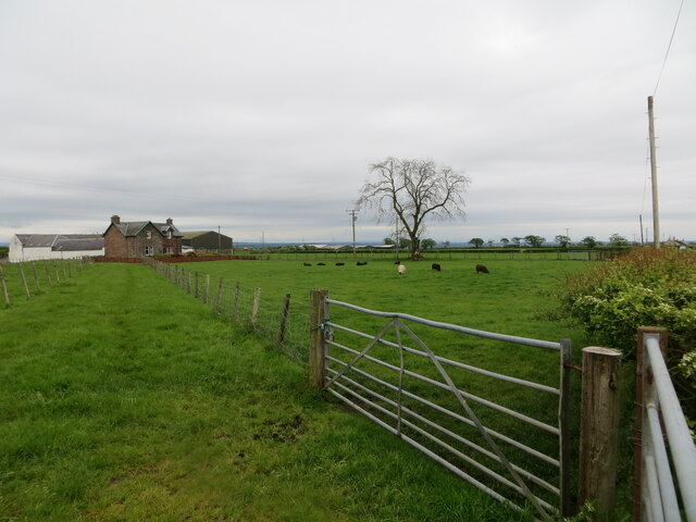
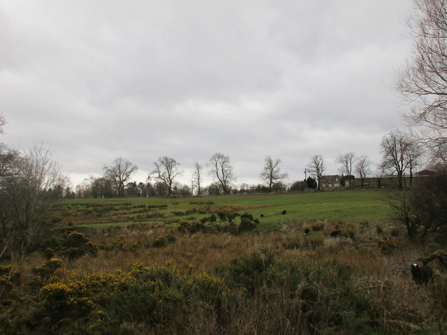
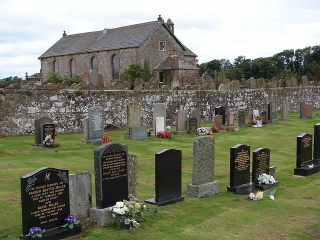
Chapelknowe Images
Images are sourced within 2km of 55.050786/-3.078386 or Grid Reference NY3173. Thanks to Geograph Open Source API. All images are credited.


Chapelknowe is located at Grid Ref: NY3173 (Lat: 55.050786, Lng: -3.078386)
Unitary Authority: Dumfries and Galloway
Police Authority: Dumfries and Galloway
What 3 Words
///awestruck.fists.mirroring. Near Gretna, Dumfries & Galloway
Nearby Locations
Related Wikis

Timpanheck
Timpanheck is a village in Annandale, Scottish Borders. == External links == Timpanheck in The Gazetteer for Scotland Geograph.org.uk

Quintinshill rail disaster
The Quintinshill rail disaster was a multi-train rail crash which occurred on 22 May 1915 outside the Quintinshill signal box near Gretna Green in Dumfriesshire...
Kirkpatrick-Fleming
Kirkpatrick-Fleming (Scottish Gaelic: Cill Phàdraig) is a village and civil parish in Dumfries and Galloway, south-west Scotland. It is located between...
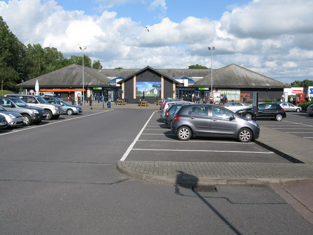
Gretna Green services
Gretna Green services is a motorway service station near the village of Gretna Green, Scotland and the town of Gretna. The service station is located next...
Nearby Amenities
Located within 500m of 55.050786,-3.078386Have you been to Chapelknowe?
Leave your review of Chapelknowe below (or comments, questions and feedback).