Chapelhall

Settlement in Lanarkshire

Scotland

Chapelhall

Newhouse roundabouts from the air Construction of the M8 motorway 'missing link' resulted in the creation of a lot of roundabouts at Newhouse. At least six roundabouts are visible in this photo.
Newhouse roundabouts from the air Credit: Thomas Nugent

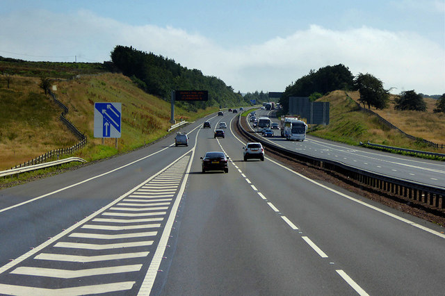
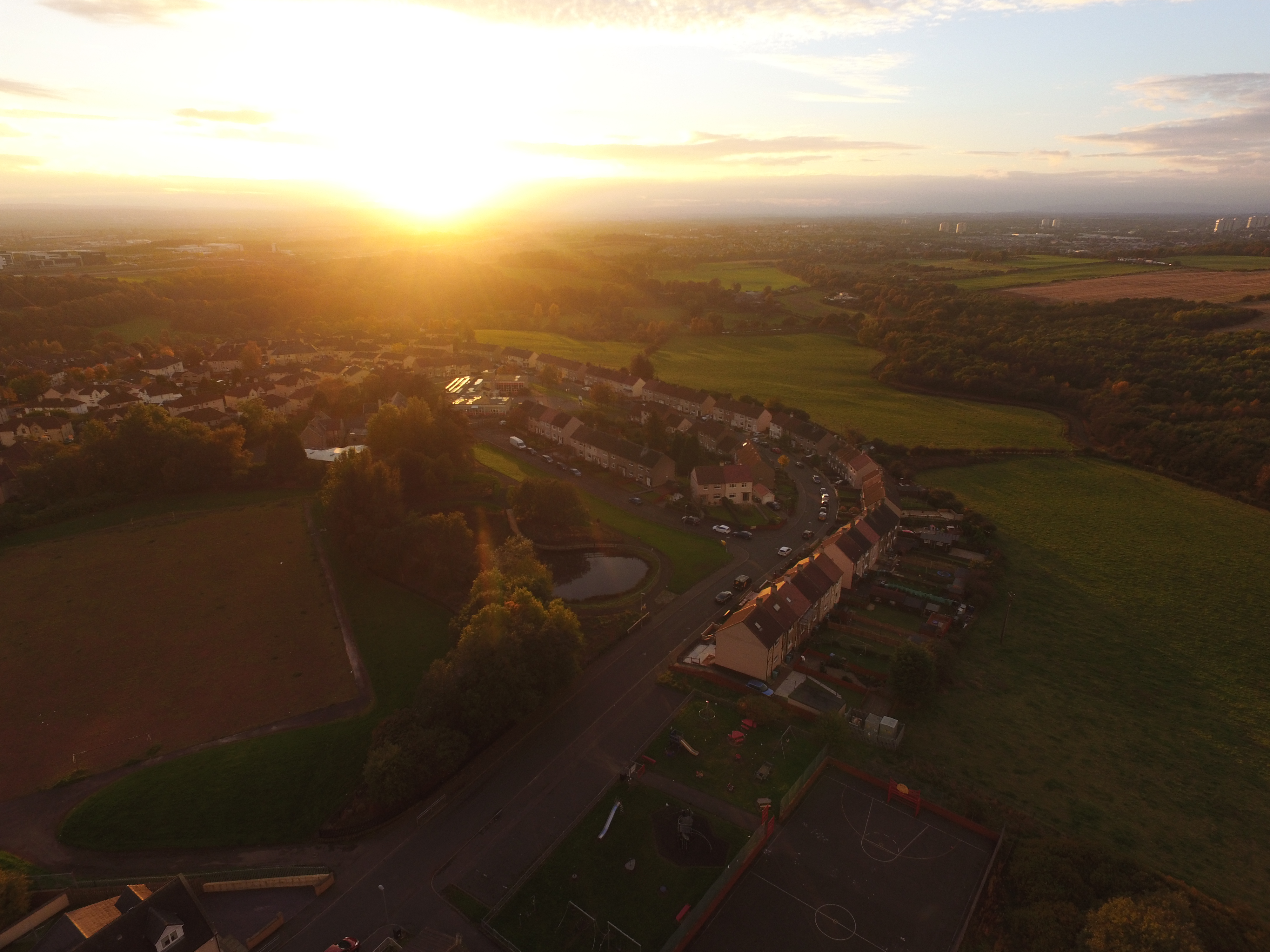
Chapelhall is a small village located in the county of Lanarkshire, Scotland. Situated approximately 10 miles east of the city of Glasgow, it falls within the North Lanarkshire council area. The village is nestled between the towns of Airdrie and Coatbridge, and is easily accessible via the M8 motorway.

Chapelhall has a rich history, with evidence of human settlement in the area dating back thousands of years. The village grew in prominence during the 19th century with the establishment of industries such as coal mining and ironworks. While these industries have since declined, the village has managed to retain its unique character and sense of community.

Today, Chapelhall is primarily a residential area, with a mix of housing options including traditional cottages, modern houses, and apartments. The village also boasts a range of amenities to cater to the needs of its residents. These include a primary school, a community center, a library, and a small shopping precinct with a variety of local businesses.

Chapelhall benefits from its proximity to nearby towns, providing residents with access to a wider range of services and recreational facilities. The village is well-connected with public transport links, making it an attractive option for those commuting to Glasgow or other neighboring towns.

Overall, Chapelhall offers a peaceful and picturesque setting for those seeking a relaxed suburban lifestyle while still enjoying the convenience of nearby urban centers.

If you have any feedback on the listing, please let us know in the comments section below.
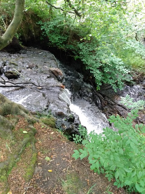
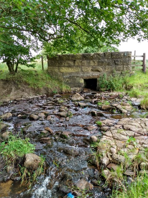
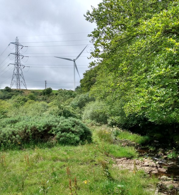
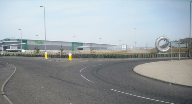
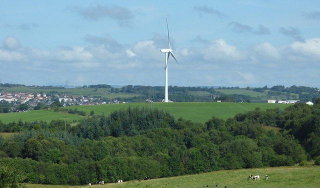
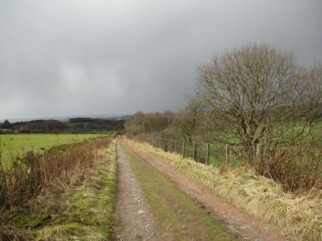
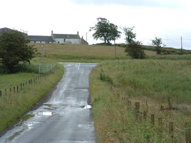
Chapelhall Images

Images are sourced within 2km of 55.84268/-3.949674 or Grid Reference NS7862. Thanks to Geograph Open Source API. All images are credited.

Newhouse roundabouts from the air Construction of the M8 motorway 'missing link' resulted in the creation of a lot of roundabouts at Newhouse. At least six roundabouts are visible in this photo.
Newhouse roundabouts from the air
Construction of the M8 motorway 'missing link' resulted in the creation of a lot of roundabouts at Newhouse. At least six roundabouts are visible in this photo.
Newhouse from the air Newhouse industrial estate by the new stretch of the M8 motorway.
Newhouse from the air
Newhouse industrial estate by the new stretch of the M8 motorway.
Chapelhall from the air Looking up Kennelburn Road to Chapelhall Primary School.
Chapelhall from the air
Looking up Kennelburn Road to Chapelhall Primary School.
M8 Junction 6 at Newhouse Looking north from the M8 along the west side of the roundabout.

See the junction under construction in June 2015 <a href="https://www.geograph.org.uk/photo/4530046">NS7961 : Junction of the M8, A8 and A73 at Newhouse</a>.
M8 Junction 6 at Newhouse
Looking north from the M8 along the west side of the roundabout. See the junction under construction in June 2015 NS7961 : Junction of the M8, A8 and A73 at Newhouse.
M8 Junction 6 at Newhouse Looking north from the eastbound M8.
M8 Junction 6 at Newhouse
Looking north from the eastbound M8.
Waterfall: Clattering Burn Side view
Waterfall: Clattering Burn
Side view
Bridge: Craigens Road Taking road over Clattering Burn
Bridge: Craigens Road
Taking road over Clattering Burn
View from Craigens Road With electricity pylon and wind turbine
View from Craigens Road
With electricity pylon and wind turbine
B799 Bridge crossing the Eastbound M8 The M8 motorway is one of the most significant roads in Scotland. Running for approximately 61 miles in length, the M8 connects Scotland’s two largest cities, Glasgow and Edinburgh, and serves other large communities including Airdrie, Coatbridge, Greenock, Livingston and Paisley. Of national economic importance, it provides a vital connection between the east and west of Scotland and, until the completion of the M74 in 2011, was the only motorway connection across the City of Glasgow.

The M8 is the busiest motorway in Scotland and one of the busiest in the United Kingdom; some sections of the route are used by up to 180,000 vehicles per day making it one of the most used motorways in Europe. It is notorious for traffic jams, especially its Central Glasgow section.
B799 Bridge crossing the Eastbound M8
The M8 motorway is one of the most significant roads in Scotland. Running for approximately 61 miles in length, the M8 connects Scotland’s two largest cities, Glasgow and Edinburgh, and serves other large communities including Airdrie, Coatbridge, Greenock, Livingston and Paisley. Of national economic importance, it provides a vital connection between the east and west of Scotland and, until the completion of the M74 in 2011, was the only motorway connection across the City of Glasgow. The M8 is the busiest motorway in Scotland and one of the busiest in the United Kingdom; some sections of the route are used by up to 180,000 vehicles per day making it one of the most used motorways in Europe. It is notorious for traffic jams, especially its Central Glasgow section.
Eastbound M8 near to Newhouse The M8 motorway is one of the most significant roads in Scotland. Running for approximately 61 miles in length, the M8 connects Scotland’s two largest cities, Glasgow and Edinburgh, and serves other large communities including Airdrie, Coatbridge, Greenock, Livingston and Paisley. Of national economic importance, it provides a vital connection between the east and west of Scotland and, until the completion of the M74 in 2011, was the only motorway connection across the City of Glasgow.

The M8 is the busiest motorway in Scotland and one of the busiest in the United Kingdom; some sections of the route are used by up to 180,000 vehicles per day making it one of the most used motorways in Europe. It is notorious for traffic jams, especially its Central Glasgow section.
Eastbound M8 near to Newhouse
The M8 motorway is one of the most significant roads in Scotland. Running for approximately 61 miles in length, the M8 connects Scotland’s two largest cities, Glasgow and Edinburgh, and serves other large communities including Airdrie, Coatbridge, Greenock, Livingston and Paisley. Of national economic importance, it provides a vital connection between the east and west of Scotland and, until the completion of the M74 in 2011, was the only motorway connection across the City of Glasgow. The M8 is the busiest motorway in Scotland and one of the busiest in the United Kingdom; some sections of the route are used by up to 180,000 vehicles per day making it one of the most used motorways in Europe. It is notorious for traffic jams, especially its Central Glasgow section.
Eastbound M8 at Junction 6 The M8 motorway is one of the most significant roads in Scotland. Running for approximately 61 miles in length, the M8 connects Scotland’s two largest cities, Glasgow and Edinburgh, and serves other large communities including Airdrie, Coatbridge, Greenock, Livingston and Paisley. Of national economic importance, it provides a vital connection between the east and west of Scotland and, until the completion of the M74 in 2011, was the only motorway connection across the City of Glasgow.

The M8 is the busiest motorway in Scotland and one of the busiest in the United Kingdom; some sections of the route are used by up to 180,000 vehicles per day making it one of the most used motorways in Europe. It is notorious for traffic jams, especially its Central Glasgow section.
Eastbound M8 at Junction 6
The M8 motorway is one of the most significant roads in Scotland. Running for approximately 61 miles in length, the M8 connects Scotland’s two largest cities, Glasgow and Edinburgh, and serves other large communities including Airdrie, Coatbridge, Greenock, Livingston and Paisley. Of national economic importance, it provides a vital connection between the east and west of Scotland and, until the completion of the M74 in 2011, was the only motorway connection across the City of Glasgow. The M8 is the busiest motorway in Scotland and one of the busiest in the United Kingdom; some sections of the route are used by up to 180,000 vehicles per day making it one of the most used motorways in Europe. It is notorious for traffic jams, especially its Central Glasgow section.
A775  Edinburgh Road Passing the birthplace of James Keir Hardie, a founder of the Labour Party. Terex factory behind.
A775 Edinburgh Road
Passing the birthplace of James Keir Hardie, a founder of the Labour Party. Terex factory behind.
Cottages: Newhouse With former Newhouse Hotel beyond. Now a Premier Inn and restaurant.
Cottages: Newhouse
With former Newhouse Hotel beyond. Now a Premier Inn and restaurant.
Distribution Warehouse Brakes Food Wholesalers beside M8 Junction 6
Distribution Warehouse
Brakes Food Wholesalers beside M8 Junction 6
Wind turbine near Chapelhall Viewed from the M8 motorway, just east of Junction 6.
Wind turbine near Chapelhall
Viewed from the M8 motorway, just east of Junction 6.
Track between Calderbank and the Monkland Canal A shower of hail and rain is moving in from the south-west.
Track between Calderbank and the Monkland Canal
A shower of hail and rain is moving in from the south-west.
Faskine Farm View over newly cultivated field
Faskine Farm
View over newly cultivated field
Bridge over Monkland Canal One of two giving access to Faskine Farm
Bridge over Monkland Canal
One of two giving access to Faskine Farm
Show me another place!

Chapelhall is located at Grid Ref: NS7862 (Lat: 55.84268, Lng: -3.949674)

Unitary Authority: North Lanarkshire

Police Authority: Lanarkshire

What 3 Words

///energetic.washed.cigar. Near Chapelhall, North Lanarkshire

Nearby Locations

Chapelhall

Related Wikis

Chapelhall railway station

Chapelhall railway station served the village of Chapelhall, North Lanarkshire, Scotland from 1887 to 1930 on the Airdrie to Newhouse Branch. == History... ==

Chapelhall

Chapelhall (from the Gaelic Seipeal Allt - Chapel by a burn) is a village outside the town of Airdrie in North Lanarkshire, Scotland. With house building...

Newhouse Research Site

The Newhouse Research Site is a drug research facility situated 15 miles (24 km) east of Glasgow in central Scotland. It is located beside the M8 motorway...

Calderbank railway station

Calderbank railway station served the village of Calderbank, North Lanarkshire, Scotland, from 1887 to 1930 on the Airdrie to Newhouse Branch. == History... ==

Calderbank

Calderbank is a village outside the town of Airdrie, North Lanarkshire, Scotland. It lies west of the M73, on the west bank of the North Calder Water....

Newhouse, North Lanarkshire

Newhouse is a hamlet and major road interchange located in North Lanarkshire, Scotland, sited immediately east of the Eurocentral industrial park, two...

Newhouse railway station

Newhouse railway station served the hamlet of Newhouse, North Lanarkshire, Scotland from 1888 to 1930 on the Airdrie to Newhouse Branch. == History... ==

Excelsior Stadium

The Excelsior Stadium is a football stadium in Airdrie, North Lanarkshire, Scotland. It is the home ground of Airdrieonians of the Scottish Professional...
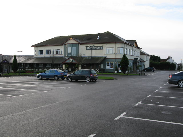
Nearby Amenities

Located within 500m of 55.84268,-3.949674
Chapelhall
Is In: North Lanarkshire, Scotland, UK
Place: town
Postal Code: ML6
Wikidata: Q5073132
Wikipedia: en:Chapelhall
Lat/Long: 55.8445286/-3.948302
Natural: peak
Lat/Long: 55.844333/-3.9522498
Post Office
Chapelhall Post Office
Addr Postcode: ML6 8SW
Branch: Chapelhall
Brand: Post Office
Brand Wikidata: Q1783168
Check Date: 2020-02-20
Contact Website: https://www.postoffice.co.uk/branch-finder/182855x/chapelhall
Ref Pol Id: 5498
Lat/Long: 55.8432928/-3.948637
Traffic Calming: table
Lat/Long: 55.8418063/-3.9425323
Turning Circle
Lat/Long: 55.8424996/-3.9437094
Noexit: yes
Lat/Long: 55.8460606/-3.9467296
Turning Circle
Lat/Long: 55.8453739/-3.9455494
Noexit: yes
Lat/Long: 55.8447352/-3.9454244
Barrier: cycle_barrier
Lat/Long: 55.8457261/-3.9548316
Power: tower
Lat/Long: 55.8420543/-3.9422001
Noexit: yes
Lat/Long: 55.8448924/-3.9457416
Noexit: yes
Lat/Long: 55.8450168/-3.9462885
Noexit: yes
Lat/Long: 55.8440786/-3.947863
Noexit: yes
Lat/Long: 55.8451501/-3.9483736
Noexit: yes
Lat/Long: 55.8451395/-3.9475029
Noexit: yes
Lat/Long: 55.8447578/-3.9473802
Noexit: yes
Lat/Long: 55.8447863/-3.9480668
Give Way
Direction: forward
Lat/Long: 55.8442421/-3.9457437
School
Chapelhall Primary School
Addr Postcode: ML6 8XW
Email: ht@chapelhall.n-lanark.sch.uk
Operator: North Lanarkshire Council
Operator Wikidata: Q99229584
Phone: +44 1236 757654
Ref GB Uprn: 118167577
Ref Seedcode: 8511527
Religion: none
School: primary
Website: https://blogs.glowscotland.org.uk/nl/Enterprise/
Lat/Long: 55.8417935/-3.948566
School
St Aloysius' Primary School
Addr Postcode: ML6 8XW
Denomination: roman_catholic
Email: ht@st-aloysius.n-lanark.sch.uk
Operator: North Lanarkshire Council
Operator Wikidata: Q99229584
Phone: +44 1236 757711
Ref GB Uprn: 118181184
Ref Seedcode: 8511624
Religion: christian
School: primary
Website: https://www.northlanarkshire.gov.uk/directories/schools/st-aloysius%27-primary
Lat/Long: 55.8414812/-3.9486018
Post Box
Source: survey
Lat/Long: 55.8402239/-3.954635
Dentist
Healthcare: dentist
Lat/Long: 55.8433119/-3.9491323
Noexit: yes
Lat/Long: 55.8462081/-3.9465655
Noexit: yes
Lat/Long: 55.8448989/-3.9450909
Turning Circle
Lat/Long: 55.8465347/-3.9457856
Chapelhall
Historic Railway: station
Railway: site
Wikidata: Q101003874
Wikipedia: en:Chapelhall railway station
Lat/Long: 55.8435436/-3.950368
Noexit: yes
Lat/Long: 55.8414258/-3.9457668
Traffic Calming: cushion
Lat/Long: 55.8407671/-3.9432695
Traffic Calming: cushion
Lat/Long: 55.842427/-3.9431459
Bus Stop
Chapelhall, Lauchope Street opp Smiths Butchers
Bus: yes
Departures Board: timetable
Naptan AtcoCode: 6160702
Naptan NaptanCode: 65234695
Public Transport: platform
Shelter: yes
Lat/Long: 55.8441335/-3.9485349
Crossing
Crossing: traffic_signals
Crossing Ref: pelican
Lat/Long: 55.8439/-3.9485259
Generator Method: photovoltaic
Generator Output Electricity: yes
Generator Source: solar
Generator Type: solar_photovoltaic_panel
Power: generator
Lat/Long: 55.8439804/-3.9469438
Generator Method: photovoltaic
Generator Output Electricity: yes
Generator Source: solar
Generator Type: solar_photovoltaic_panel
Power: generator
Lat/Long: 55.8437009/-3.9469472
Give Way
Direction: forward
Lat/Long: 55.8436489/-3.9453241
Give Way
Direction: forward
Lat/Long: 55.8443196/-3.9460087
Generator Method: photovoltaic
Generator Output Electricity: yes
Generator Source: solar
Generator Type: solar_photovoltaic_panel
Power: generator
Lat/Long: 55.8463991/-3.9466333
Noexit: yes
Lat/Long: 55.8470534/-3.9481068
Bus Stop
Chapelhall, Lauchope Street opp Woodneuk Street
Bus: yes
Departures Board: timetable
Naptan AtcoCode: 6160697
Naptan NaptanCode: 65232738
Public Transport: platform
Shelter: no
Lat/Long: 55.8387924/-3.9537087
Bus Stop
Chapelhall, Lauchope Street before Kennelburn Road
Bus: yes
Departures Board: timetable
Naptan AtcoCode: 6160699
Naptan NaptanCode: 65237378
Public Transport: platform
Shelter: yes
Lat/Long: 55.8407073/-3.9517363
Bus Stop
Chapelhall, Lauchope Street opp Gibb Street
Bus: yes
Departures Board: timetable
Naptan AtcoCode: 6160700
Naptan NaptanCode: 65232375
Public Transport: platform
Shelter: yes
Lat/Long: 55.8414333/-3.9507753
Bus Stop
Chapelhall, Lauchope Street before Honeywell Crescent
Bus: yes
Departures Board: timetable
Naptan AtcoCode: 6160701
Naptan NaptanCode: 65234364
Public Transport: platform
Shelter: no
Lat/Long: 55.8428924/-3.9492446
Bus Stop
Chapelhall, Russell Street before Main Street
Bus: yes
Departures Board: no
Naptan AtcoCode: 61601853
Naptan NaptanCode: 65239898
Public Transport: platform
Shelter: no
Lat/Long: 55.842129/-3.9475385
Bus Stop
Chapelhall, Main Street before Honeywell Crescent
Bus: yes
Departures Board: no
Naptan AtcoCode: 61601854
Naptan NaptanCode: 65239679
Public Transport: platform
Shelter: no
Lat/Long: 55.8404089/-3.9443192
Bus Stop
Chapelhall, Honeywell Crescent before Woodhall Street
Bus: yes
Departures Board: no
Public Transport: platform
Shelter: no
Lat/Long: 55.8403587/-3.9491983
Bus Stop
Chapelhall, Gibb Street before Crogal Crescent
Bus: yes
Departures Board: no
Naptan AtcoCode: 61601849
Naptan NaptanCode: 65239293
Public Transport: platform
Shelter: no
Lat/Long: 55.8434494/-3.9525111
Bus Stop
Chapelhall, Gibb Street opp Queen's Crescent
Bus: yes
Departures Board: no
Naptan AtcoCode: 61601850
Naptan NaptanCode: 65238525
Public Transport: platform
Shelter: no
Lat/Long: 55.8449918/-3.9556203
Bus Stop
Chapelhall, Sherdale Avenue before Centre Street
Bus: yes
Departures Board: no
Naptan AtcoCode: 61601851
Naptan NaptanCode: 65238737
Public Transport: platform
Shelter: no
Lat/Long: 55.8424584/-3.9570407
Bus Stop
Chapelhall, Kennelburn Road before Woodside Street
Bus: yes
Departures Board: no
Naptan AtcoCode: 61601852
Naptan NaptanCode: 65239236
Public Transport: platform
Shelter: no
Lat/Long: 55.8404899/-3.9539467
Bus Stop
Chapelhall, Lauchope Street at Smiths Butchers
Bus: yes
Departures Board: no
Naptan AtcoCode: 61601508
Naptan NaptanCode: 65236563
Public Transport: platform
Shelter: no
Lat/Long: 55.8441507/-3.9483861
Bus Stop
Bus: yes
Departures Board: timetable
Public Transport: platform
Shelter: no
Lat/Long: 55.8445655/-3.9460774
Bus Stop
Chapelhall, Carlisle Road before Burniebrae Road
Bus: yes
Departures Board: timetable
Public Transport: platform
Shelter: yes
Lat/Long: 55.8466247/-3.9484627
Bus Stop
Chapelhall, Carlisle Road opp Burniebrae Road
Bus: yes
Departures Board: timetable
Naptan AtcoCode: 6160704
Naptan NaptanCode: 65236967
Public Transport: platform
Shelter: no
Lat/Long: 55.8462086/-3.9481922
The data included in this document is from www.openstreetmap.org. The data is made available under ODbL.

Have you been to Chapelhall?

Leave your review of Chapelhall below (or comments, questions and feedback).