Chapelgate
Settlement in Lincolnshire South Holland
England
Chapelgate
Chapelgate is a quaint village located in the county of Lincolnshire, England. Situated in the East Midlands region, it lies approximately 10 miles south of the city of Lincoln. The village is known for its picturesque countryside, charming cottages, and rich history.
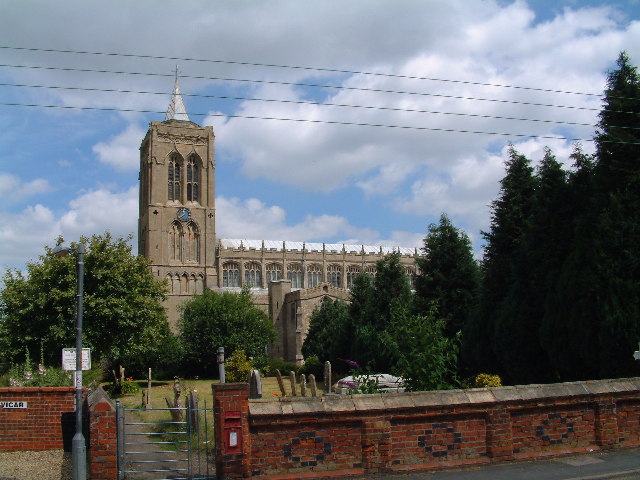
One of the standout features of Chapelgate is its beautiful 12th-century church, St. Mary's Church. This historic landmark is a prominent attraction in the area, with its stunning architecture and intricate stained glass windows. The church has been well-preserved over the centuries and serves as a reminder of the village's long-standing heritage.
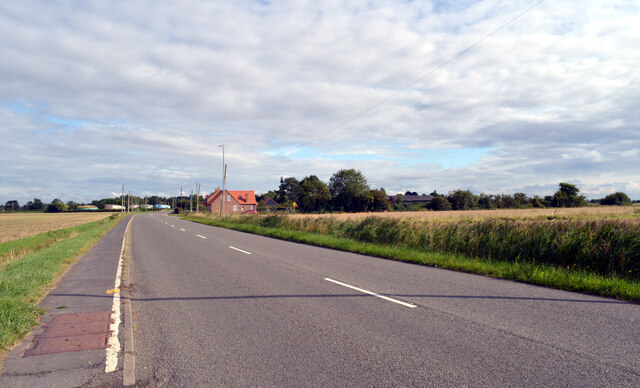
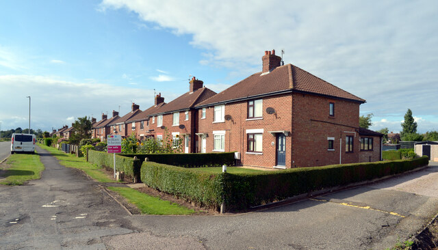
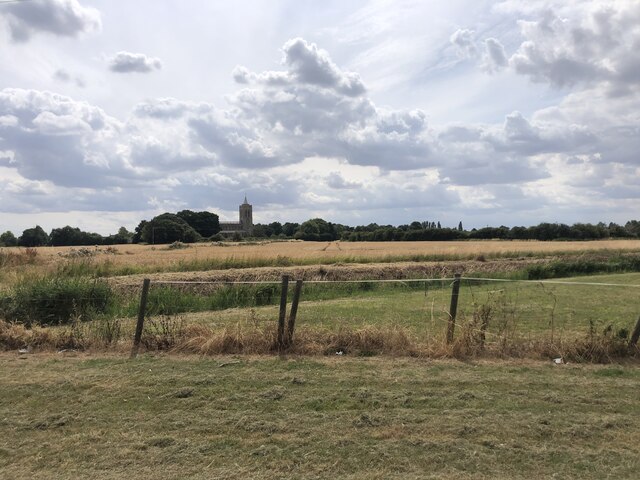
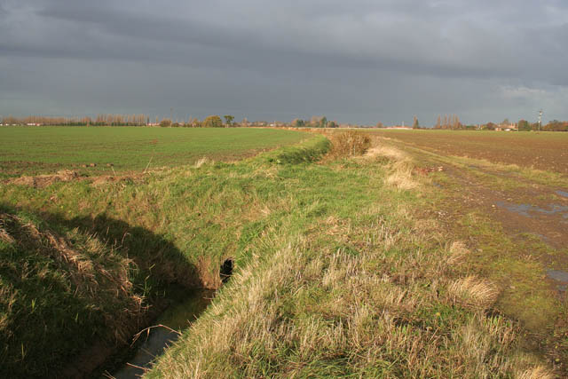
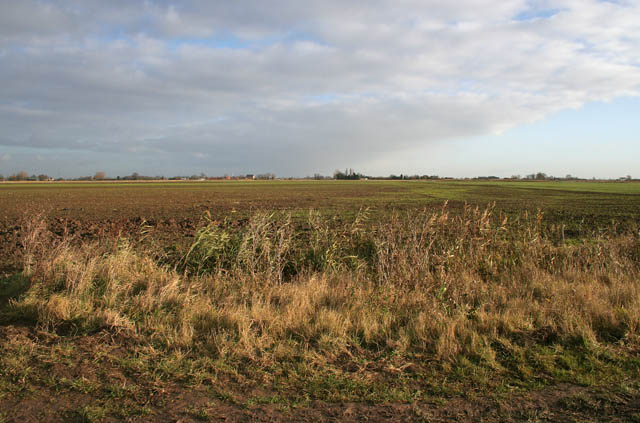
The village itself is relatively small, with a close-knit community that takes pride in its rural surroundings. The rolling hills and lush green fields that surround Chapelgate make it an ideal location for those seeking a peaceful and idyllic lifestyle. The area is popular with walkers and nature enthusiasts, who can explore the numerous walking trails and enjoy the breathtaking views of the countryside.
Despite its tranquil ambiance, Chapelgate is conveniently located near the city of Lincoln, offering residents easy access to a range of amenities and services. Lincoln provides a variety of shopping centers, restaurants, and cultural attractions, including the famous Lincoln Cathedral and Lincoln Castle.
Overall, Chapelgate in Lincolnshire offers a perfect blend of rural charm and proximity to urban conveniences. Its rich history, stunning landscapes, and welcoming community make it an appealing destination for both visitors and those looking to settle in a peaceful English village.
If you have any feedback on the listing, please let us know in the comments section below.
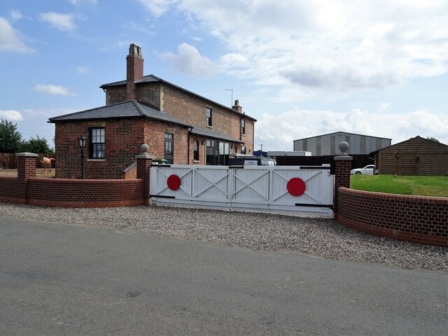
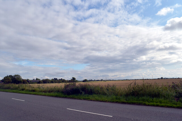
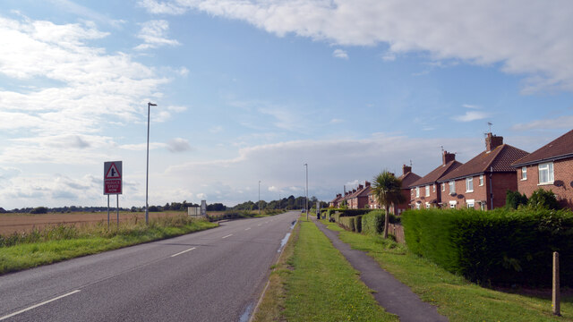
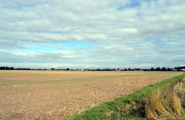
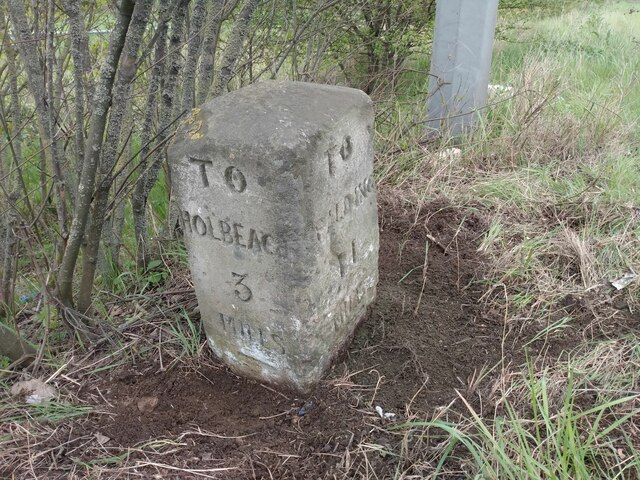
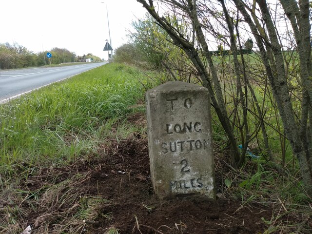
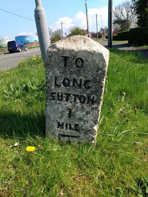
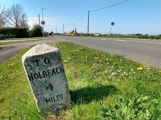
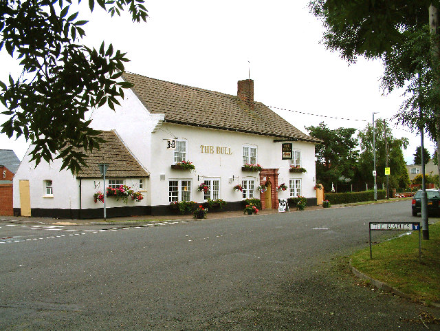
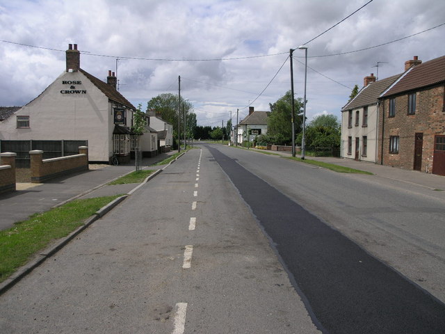
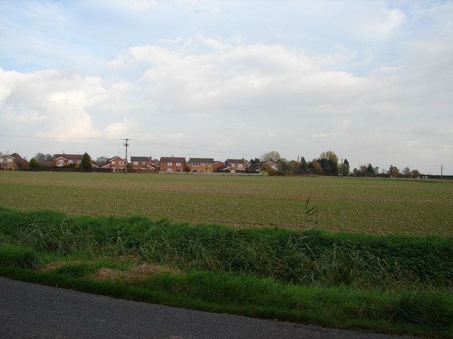
Chapelgate Images
Images are sourced within 2km of 52.7997/0.0929 or Grid Reference TF4124. Thanks to Geograph Open Source API. All images are credited.
Chapelgate is located at Grid Ref: TF4124 (Lat: 52.7997, Lng: 0.0929)
Division: Parts of Holland
Administrative County: Lincolnshire
District: South Holland
Police Authority: Lincolnshire
What 3 Words
///chop.code.cubic. Near Fleet, Lincolnshire
Nearby Locations
Related Wikis

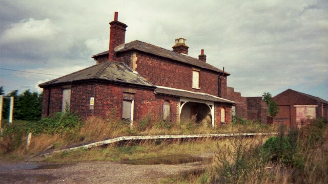
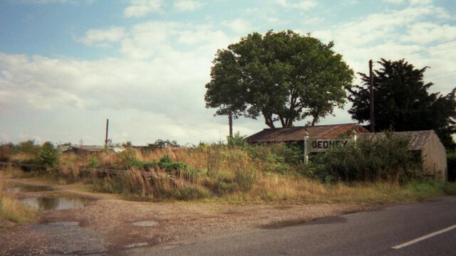
Gedney railway station
Gedney railway station was a station in Gedney, Lincolnshire. It was a station on the Midland and Great Northern Joint Railway network. It opened on 1...
Gedney, Lincolnshire
Gedney is a village, civil parish and electoral ward in the South Holland district of Lincolnshire, England. It is just to the south of the A17 Boston...
St Mary Magdalene Church, Gedney
St Mary Magdalene Church is an Anglican parish church of medieval origin in Gedney, Lincolnshire. Renowned for its large size in the surrounding low-lying...

Gedney Dyke
Gedney Dyke is a village in the civil parish of Gedney and the South Holland district of Lincolnshire, England. It is 40 miles (64 km) south-east from...

Fleet Hargate
Fleet Hargate is a village in the South Holland district of Lincolnshire, England. It is situated 2 miles (3.2 km) east from Holbeach, and just south from...

Fleet railway station (Lincolnshire)
Fleet railway station was a station in Fleet, Lincolnshire. It opened in 1862 and closed to passengers in 1959, with the goods yard closing on 3 February...
Long Sutton railway station
Long Sutton railway station was a station in Long Sutton, Lincolnshire, England. It was part of the Midland and Great Northern Joint Railway which closed...

Gedney Broadgate
Gedney Broadgate is a hamlet in the civil parish of Gedney and the South Holland district of Lincolnshire, England. It is situated west from the A17 road...
Nearby Amenities
Located within 500m of 52.7997,0.0929Have you been to Chapelgate?
Leave your review of Chapelgate below (or comments, questions and feedback).