Bloodylaws Plantation
Wood, Forest in Roxburghshire
Scotland
Bloodylaws Plantation
Bloodylaws Plantation, located in Roxburghshire, is a sprawling woodland area known for its natural beauty and rich history. Covering a vast expanse, the plantation is home to a diverse range of flora and fauna, making it a haven for nature enthusiasts and wildlife lovers.
The name "Bloodylaws" is believed to have originated from a dark event that took place in the area during the medieval times. However, the plantation itself has a much more serene atmosphere today. It is characterized by dense forests, towering trees, and a network of well-maintained trails that allow visitors to explore the area at their own pace.
The woodland is primarily composed of a mix of native tree species, including oak, birch, beech, and pine. These trees provide a suitable habitat for a variety of wildlife, such as red squirrels, deer, and numerous bird species. The vibrant colors of the changing leaves in autumn make Bloodylaws Plantation particularly enchanting during this season.
In addition to its natural beauty, the plantation also offers recreational activities for visitors. The trails are popular among hikers, joggers, and cyclists, providing an opportunity to immerse oneself in the tranquil surroundings. Picnic areas and viewpoints are scattered throughout the plantation, allowing visitors to relax and enjoy the breathtaking views.
Bloodylaws Plantation is not only a place of natural splendor but also a site of historical significance. Its combination of lush greenery, diverse wildlife, and intriguing past make it a must-visit destination for anyone seeking a peaceful escape into nature.
If you have any feedback on the listing, please let us know in the comments section below.
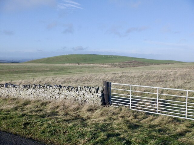
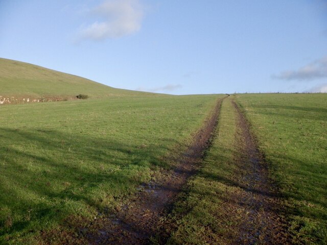
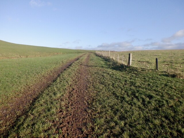
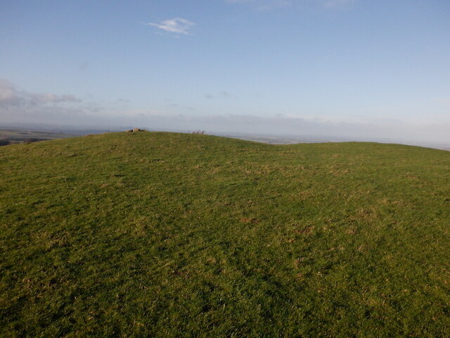
Bloodylaws Plantation Images
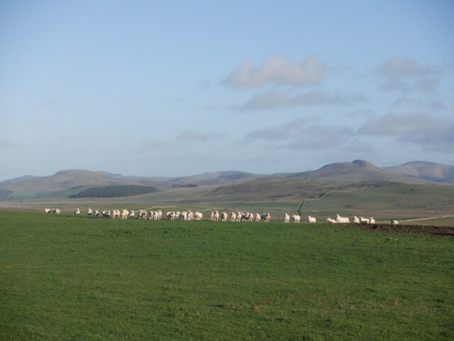
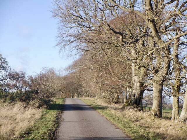
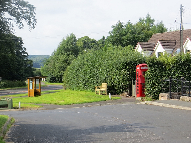
Images are sourced within 2km of 55.45351/-2.4419404 or Grid Reference NT7217. Thanks to Geograph Open Source API. All images are credited.


Bloodylaws Plantation is located at Grid Ref: NT7217 (Lat: 55.45351, Lng: -2.4419404)
Unitary Authority: The Scottish Borders
Police Authority: The Lothians and Scottish Borders
What 3 Words
///dislikes.skunks.avid. Near Jedburgh, Scottish Borders
Nearby Locations
Related Wikis

Oxnam
Oxnam (Scots: Owsenam) is a village near Jedburgh, in Roxburghshire in the Scottish Borders area of Scotland. It is a primarily residential village. The...

Crailinghall
Crailinghall is a village near Oxnam in the Scottish Borders area of Scotland, in the former Roxburghshire. Crailinghall is on the route of the St. Cuthbert...

Pennymuir Roman camps
The Pennymuir Roman camps are situated southeast of Jedburgh in the Scottish Borders area of Scotland, near the Anglo-Scottish border, in the former Roxburghshire...

Hownam
Hownam or Hounam is a small village and parish situated 8 miles east of Jedburgh in the Scottish Borders area of Scotland, near the Anglo-Scottish border...

Cessford, Scottish Borders
Cessford is a hamlet and former barony about a mile south of the B6401 road, in the Scottish Borders area of Scotland. The placename is from Gaelic 'ceis...

Camptown, Scottish Borders
Camptown is a small settlement on the A68, in the Scottish Borders area of Scotland, 5m (8 km) south of Jedburgh, and the same distance south to Carter...

Cessford Castle
Cessford Castle is a large ruined mid-15th century L-plan castle near the village of Cessford, midway Jedburgh and Kelso, in the historic county of Roxburghshire...
Crailing
Crailing is a village on the A698, in Teviotdale, 4m east of Jedburgh in the Scottish Borders area of Scotland, in the historic county of Roxburghshire...
Nearby Amenities
Located within 500m of 55.45351,-2.4419404Have you been to Bloodylaws Plantation?
Leave your review of Bloodylaws Plantation below (or comments, questions and feedback).