Woodenhill Covert

Wood, Forest in Roxburghshire

Scotland

Woodenhill Covert

Field of Potatoes, Kalemouth
Field of Potatoes, Kalemouth Credit: Lisa Jarvis

The requested URL returned error: 429 Too Many Requests

If you have any feedback on the listing, please let us know in the comments section below.

Woodenhill Covert Images

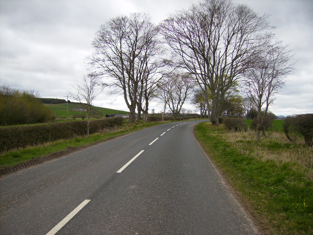
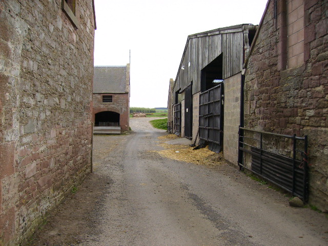
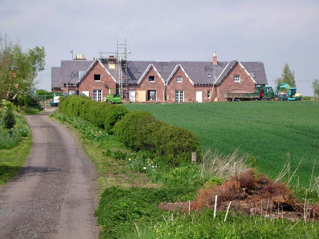
Images are sourced within 2km of 55.522445/-2.4426339 or Grid Reference NT7225. Thanks to Geograph Open Source API. All images are credited.

Field of Potatoes, Kalemouth
Haughhead Kip The mound known as Houghhead Kip crowns a natural hummock which rises from the plateau on the left bank of Kale Water opposite Grahamslaw. It has been planted with trees. On the summit there stands a modern stone "altar", in the top of which an inscribed slab of red sandstone, repaired and restored by Lady John Scott in 1854, has been inserted for its better preservation.
Haughhead Kip
The mound known as Houghhead Kip crowns a natural hummock which rises from the plateau on the left bank of Kale Water opposite Grahamslaw. It has been planted with trees. On the summit there stands a modern stone "altar", in the top of which an inscribed slab of red sandstone, repaired and restored by Lady John Scott in 1854, has been inserted for its better preservation.
River Kale south of Grahamslaw Interesting rock strata form the river bank.
River Kale south of Grahamslaw
Interesting rock strata form the river bank.
Coach House at Marlefield, near Morebattle
The jetty at Wooden Loch near Eckfordmoss
Looking down the unclassified road from Eckford that joins up with the A698 after 0.5km
An overgrown track leads to arable fields at Eckfordmoss
The B6401 road near Marlefield
Tarmac track through farm buildings at Easter Wooden
Wooden Hill Wooden Hill: forested area, taken from 'T' junction track shown on Outdoor Leisure 16 Map (1:25000)
Wooden Hill
Wooden Hill: forested area, taken from 'T' junction track shown on Outdoor Leisure 16 Map (1:25000)
Back Strip Wood Burn at Back Strip Wood: shown on Outdoor Leisure 16 Map (1:25000)
Back Strip Wood
Burn at Back Strip Wood: shown on Outdoor Leisure 16 Map (1:25000)
Wooden Hill and Back Strip Near 90 degree angle between the two portions of woodland
Wooden Hill and Back Strip
Near 90 degree angle between the two portions of woodland
Blindwells Plantation Taken beside field boundary (wall) shown on Outdoor Leisure 16 (1:25000)
Blindwells Plantation
Taken beside field boundary (wall) shown on Outdoor Leisure 16 (1:25000)
Fox Covert North east edge
Fox Covert
North east edge
Cottages at Eckford Currently undergoing refurbishment
Cottages at Eckford
Currently undergoing refurbishment
Eckford Village Hall Complete with Gilbert Scott red telephone box
Eckford Village Hall
Complete with Gilbert Scott red telephone box
Junction on A698 The road for Brownrigg and Crailinghall off the A698.
Junction on A698
The road for Brownrigg and Crailinghall off the A698.
Hamlet of Eckford in Roxburghshire. Just off the A698 on the way to Kelso.
Hamlet of Eckford in Roxburghshire.
Just off the A698 on the way to Kelso.
Show me another place!

Woodenhill Covert is located at Grid Ref: NT7225 (Lat: 55.522445, Lng: -2.4426339)

Unitary Authority: The Scottish Borders

Police Authority: The Lothians and Scottish Borders

What 3 Words

///drag.broadcast.lifts. Near Maxwellheugh, Scottish Borders

Nearby Locations

Woodenhill Covert

Related Wikis

Eckford, Scottish Borders

Eckford is a small village located between the larger towns of Kelso and Jedburgh in the Scottish Borders. The village is in close proximity to both the...

Kale Water

The Kale Water is a 20 miles (32 km) long tributary of the River Teviot in the Scottish Borders area of Scotland. Its feeder burns in the Cheviot Hills...

Kalemouth

Kalemouth is a place in the Scottish Borders area of Scotland, where the Kale Water joins the River Teviot, near to Eckford, Cessford, Crailing, Kelso...

Cessford, Scottish Borders

Cessford is a hamlet and former barony about a mile south of the B6401 road, in the Scottish Borders area of Scotland. The placename is from Gaelic 'ceis...

Nearby Amenities

Located within 500m of 55.522445,-2.4426339
Power: pole
Lat/Long: 55.5267993/-2.4413116
Power: pole
Lat/Long: 55.5266681/-2.4402249
Barrier: stile
Material: wood
Stile: stepover
Lat/Long: 55.5197957/-2.4479022
Bench
Backrest: yes
Colour: brown
Material: wood
Seats: 4
Lat/Long: 55.5198262/-2.4478735
The data included in this document is from www.openstreetmap.org. The data is made available under ODbL.

Have you been to Woodenhill Covert?

Leave your review of Woodenhill Covert below (or comments, questions and feedback).