Bloodylaws Hill
Hill, Mountain in Roxburghshire
Scotland
Bloodylaws Hill
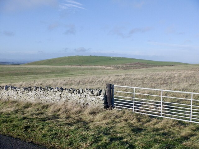
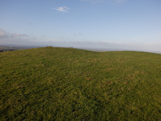
Bloodylaws Hill is a prominent landmark located in Roxburghshire, a historic county in the Scottish Borders region of Scotland. This hill stands proudly at an elevation of 312 meters (1,023 feet) above sea level, making it a notable feature in the surrounding landscape.
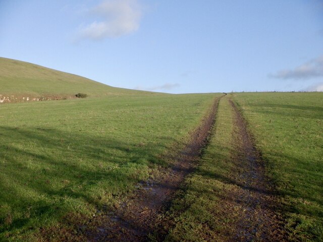
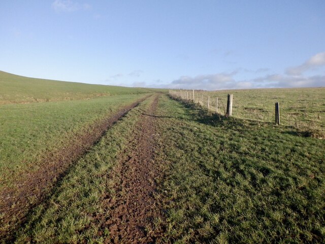
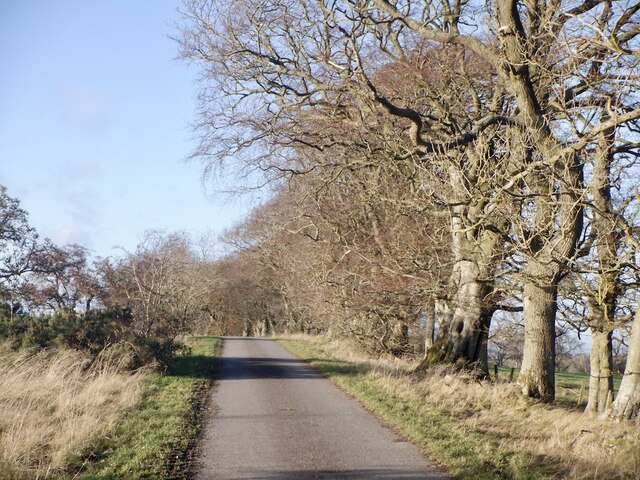
Situated near the village of Hawick, Bloodylaws Hill offers breathtaking panoramic views of the picturesque countryside. Its location in an area known for its rolling hills and lush greenery adds to its charm and appeal. The hill is easily accessible by foot, with several walking trails leading to its summit.
The origin of the name "Bloodylaws" is shrouded in history and folklore. Some believe it may be related to violent incidents that occurred in the area long ago, while others suggest it derives from the Scottish term "law" meaning a hill or small mountain. Regardless of its name's origin, Bloodylaws Hill remains an intriguing destination for nature enthusiasts, hikers, and those seeking to immerse themselves in Scotland's natural beauty.
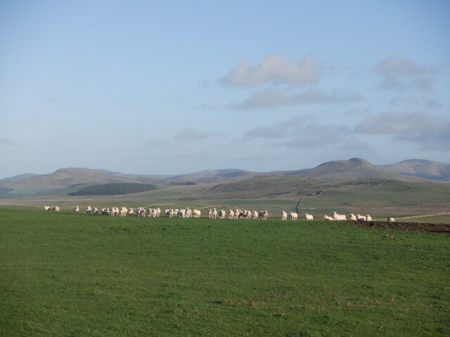
The hill's diverse flora and fauna make it an ideal spot for wildlife enthusiasts and birdwatchers. Visitors may encounter various species of birds, including raptors such as buzzards and kestrels. The hill's slopes are adorned with heather, wildflowers, and grasses, creating a vibrant and colorful landscape in the warmer months.
In conclusion, Bloodylaws Hill is a captivating hill located in Roxburghshire, Scotland. With its stunning views, rich history, and abundant wildlife, it is a must-visit destination for those seeking to explore the natural wonders of the area.
If you have any feedback on the listing, please let us know in the comments section below.
Bloodylaws Hill Images
Images are sourced within 2km of 55.451076/-2.4367432 or Grid Reference NT7217. Thanks to Geograph Open Source API. All images are credited.


Bloodylaws Hill is located at Grid Ref: NT7217 (Lat: 55.451076, Lng: -2.4367432)
Unitary Authority: The Scottish Borders
Police Authority: The Lothians and Scottish Borders
What 3 Words
///coiling.submitted.record. Near Jedburgh, Scottish Borders
Nearby Locations
Related Wikis

Oxnam
Oxnam (Scots: Owsenam) is a village near Jedburgh, in Roxburghshire in the Scottish Borders area of Scotland. It is a primarily residential village. The...

Pennymuir Roman camps
The Pennymuir Roman camps are situated southeast of Jedburgh in the Scottish Borders area of Scotland, near the Anglo-Scottish border, in the former Roxburghshire...

Crailinghall
Crailinghall is a village near Oxnam in the Scottish Borders area of Scotland, in the former Roxburghshire. Crailinghall is on the route of the St. Cuthbert...

Hownam
Hownam or Hounam is a small village and parish situated 8 miles east of Jedburgh in the Scottish Borders area of Scotland, near the Anglo-Scottish border...

Camptown, Scottish Borders
Camptown is a small settlement on the A68, in the Scottish Borders area of Scotland, 5m (8 km) south of Jedburgh, and the same distance south to Carter...

Cessford, Scottish Borders
Cessford is a hamlet and former barony about a mile south of the B6401 road, in the Scottish Borders area of Scotland. The placename is from Gaelic 'ceis...

Cessford Castle
Cessford Castle is a large ruined mid-15th century L-plan castle near the village of Cessford, midway Jedburgh and Kelso, in the historic county of Roxburghshire...
Crailing
Crailing is a village on the A698, in Teviotdale, 4m east of Jedburgh in the Scottish Borders area of Scotland, in the historic county of Roxburghshire...
Nearby Amenities
Located within 500m of 55.451076,-2.4367432Have you been to Bloodylaws Hill?
Leave your review of Bloodylaws Hill below (or comments, questions and feedback).