Bohill Wood
Wood, Forest in Kincardineshire
Scotland
Bohill Wood

Bohill Wood is a picturesque forest located in Kincardineshire, Scotland. Covering an area of approximately 100 hectares, it is a haven of natural beauty and abundant biodiversity. The wood is situated on the southern slopes of the Grampian Mountains, offering stunning panoramic views of the surrounding countryside.
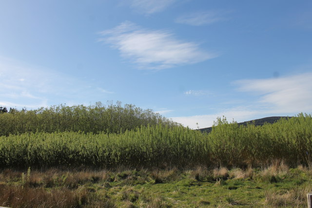
The forest is predominantly composed of native broadleaf trees, including oak, birch, and rowan, which create a diverse and vibrant woodland habitat. These trees, along with the lush undergrowth and wildflowers, provide a sanctuary for numerous species of birds, mammals, and insects.
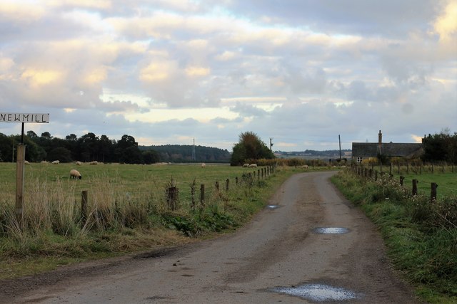
The wood is crisscrossed by a network of well-maintained trails, allowing visitors to explore its wonders at their leisure. Nature enthusiasts can enjoy a leisurely stroll along the paths, immersing themselves in the tranquil atmosphere and listening to the calming sounds of nature. The trails offer various levels of difficulty, catering to both casual walkers and more experienced hikers.
Bohill Wood also boasts a small but enchanting waterfall, known as Bohill Falls, which cascades over a rocky outcrop, adding to the woodland's charm. The falls provide an idyllic spot for photography or simply a peaceful place to relax and enjoy the soothing sound of running water.
The forest is easily accessible by car or public transportation, with ample parking available nearby. It is a popular destination for both locals and tourists, offering a perfect escape from the hustle and bustle of everyday life. Whether you are a nature lover seeking tranquility or an adventurer looking for a challenging hike, Bohill Wood is a hidden gem waiting to be discovered.
If you have any feedback on the listing, please let us know in the comments section below.
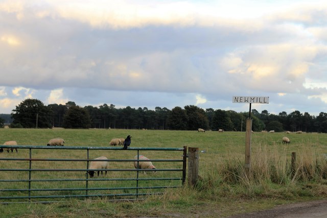
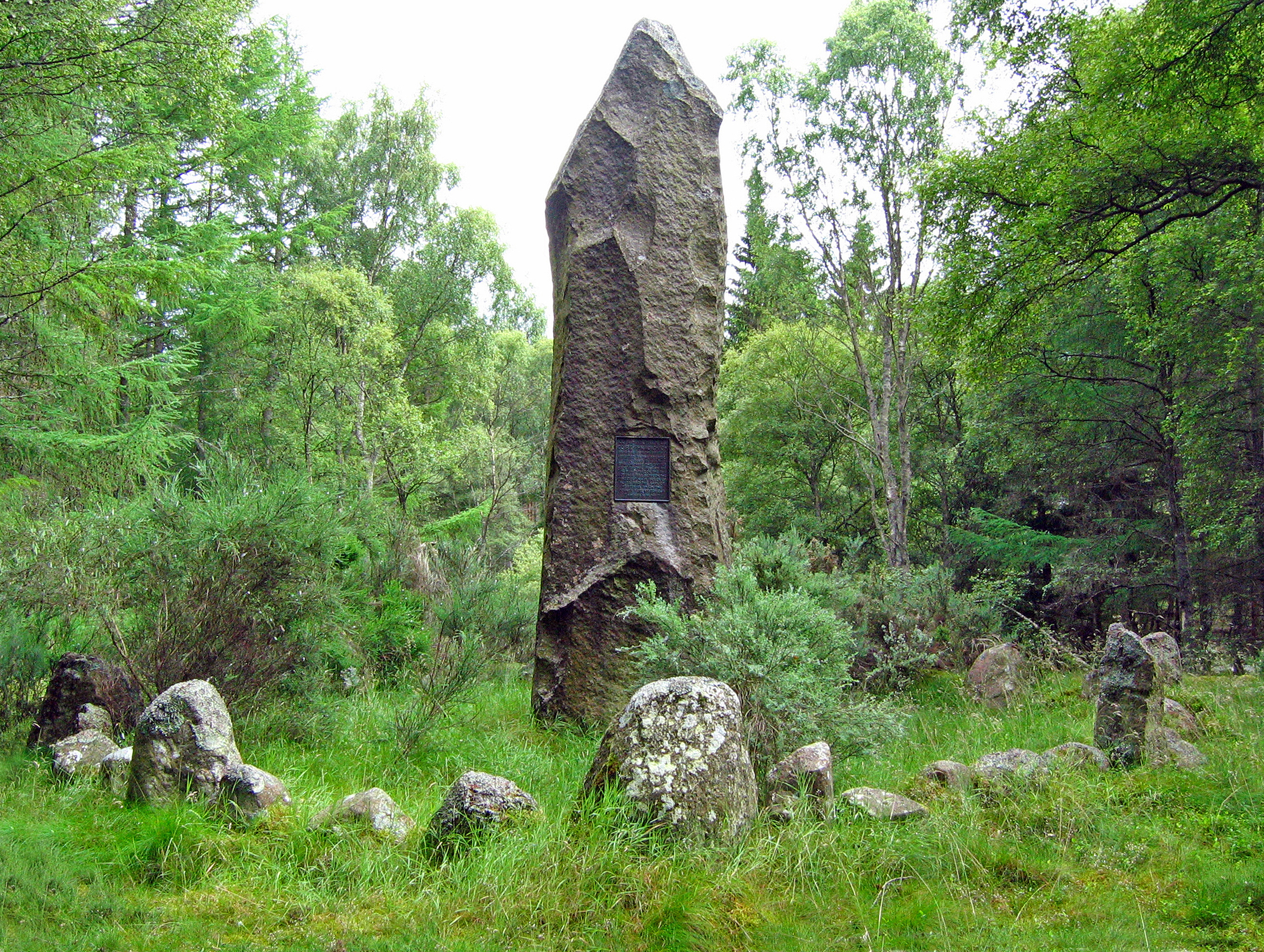
Bohill Wood Images
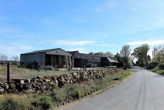
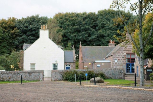
Images are sourced within 2km of 57.08644/-2.4692072 or Grid Reference NO7199. Thanks to Geograph Open Source API. All images are credited.


Bohill Wood is located at Grid Ref: NO7199 (Lat: 57.08644, Lng: -2.4692072)
Unitary Authority: Aberdeenshire
Police Authority: North East
What 3 Words
///decisive.toenail.palettes. Near Banchory, Aberdeenshire
Nearby Locations
Related Wikis

Raemoir House
Raemoir House is a Category B listed Georgian mansion house located in Banchory, Aberdeenshire, Scotland. Its origins date back to the Ha'Hoose (Hall House...

Cluny Crichton Castle
Cluny Crichton Castle (also known as Clounie Crighton Castle) is a ruined 3-story tower house on the southern slopes of the Hill of Fare in Aberdeenshire...

Crathes Castle
Crathes Castle (pronounced KRATH-iss) is a castle, built in the 16th-century, near Banchory in Aberdeenshire, Scotland. It is in the historic county of...
Battle of Corrichie
The Battle of Corrichie was fought on the slopes of the Hill of Fare in Aberdeenshire, Scotland, on 28 October 1562. It was fought between the forces of...
Nearby Amenities
Located within 500m of 57.08644,-2.4692072Have you been to Bohill Wood?
Leave your review of Bohill Wood below (or comments, questions and feedback).