Cairneywhin Belt

Wood, Forest in Kincardineshire

Scotland

Cairneywhin Belt

Access to Craigton (March) Across B977, from near Hattonburn (off right).
Access to Craigton (March) Credit: Stanley Howe

Cairneywhin Belt is a scenic woodland area located in Kincardineshire, Scotland. Stretching across approximately 200 acres, it is renowned for its natural beauty and rich biodiversity. The belt is situated on the southern slopes of Cairneywhin Hill, which reaches a height of around 300 meters.

The woodland is predominantly composed of native tree species, including oak, birch, and rowan. These trees provide a dense canopy and create a vibrant and tranquil atmosphere within the belt. The forest floor is covered with a diverse range of flora, such as bluebells, wood sorrel, and wild garlic, adding a splash of color to the landscape.

Cairneywhin Belt is home to a variety of wildlife, making it a popular destination for nature enthusiasts. Red squirrels can be spotted darting between the trees, while buzzards and owls soar overhead. The area also supports a rich bird population, with species such as woodpeckers, tits, and finches frequently seen and heard.

The woodland is intersected by several walking trails, allowing visitors to explore its wonders. These paths provide stunning views of the surrounding countryside, including the nearby North Sea coastline. The area is also well-maintained, with picnic areas and information boards providing visitors with additional amenities and knowledge about the flora and fauna of the belt.

Cairneywhin Belt offers a peaceful retreat from the hustle and bustle of modern life, providing an opportunity to connect with nature and appreciate the beauty of Scotland's woodlands.

If you have any feedback on the listing, please let us know in the comments section below.

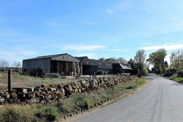
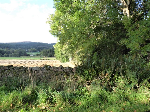
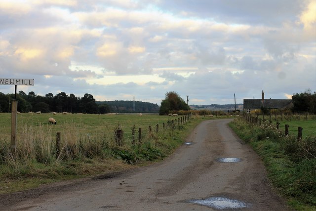
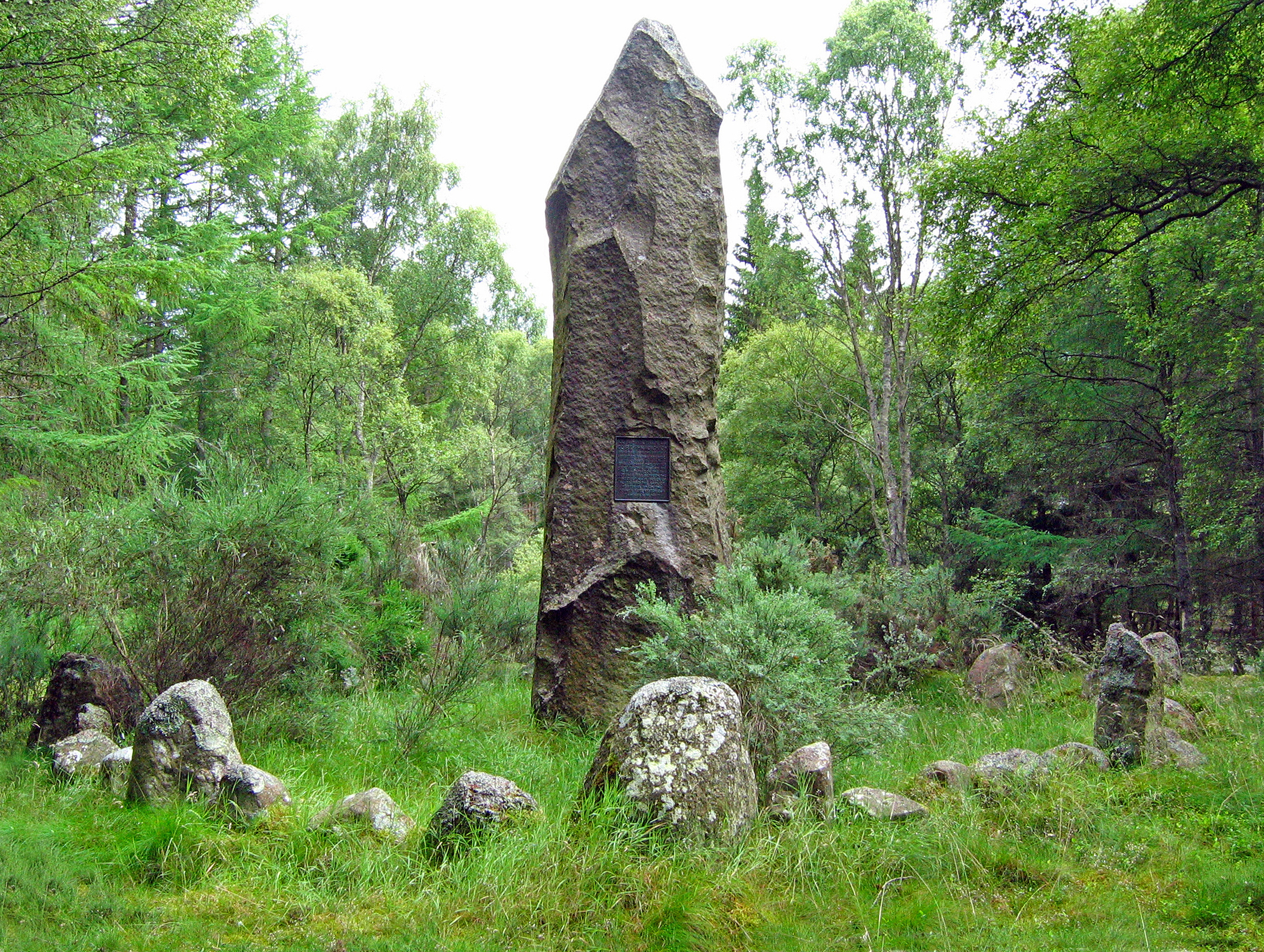
Cairneywhin Belt Images

Images are sourced within 2km of 57.086978/-2.4742959 or Grid Reference NO7199. Thanks to Geograph Open Source API. All images are credited.

Access to Craigton (March) Across B977, from near Hattonburn (off right).
Access to Craigton (March)
Across B977, from near Hattonburn (off right).
Hattonburn farmstead and access track From minor road to Craigton (B977).
Hattonburn farmstead and access track
From minor road to Craigton (B977).
Wide field gates Off minor road near Hattonburn; 6-bat steel gates.
Wide field gates
Off minor road near Hattonburn; 6-bat steel gates.
A gate and stone-wall field boundary On minor road south of Hattonburn.
A gate and stone-wall field boundary
On minor road south of Hattonburn.
Kilduthie Field A field by Kilduthie with a pheasant foraging and stands of Willow, grown for biomass, behind.
Kilduthie Field
A field by Kilduthie with a pheasant foraging and stands of Willow, grown for biomass, behind.
North Hirn The farmyard of North Hirn with its barn and steading.
North Hirn
The farmyard of North Hirn with its barn and steading.
South Hirn The rear ,working, side of South Hirm steading.
South Hirn
The rear ,working, side of South Hirm steading.
Hirn Barn The bale stacked barn at South Hirn Farm.
Hirn Barn
The bale stacked barn at South Hirn Farm.
South Hirn Farm The working farm of South Hirn from the east.
South Hirn Farm
The working farm of South Hirn from the east.
View from SW corner of Hawthorn Wood Towards the 'Burnside Belts' of trees near Raemoir, by the B977 (centre left).
View from SW corner of Hawthorn Wood
Towards the 'Burnside Belts' of trees near Raemoir, by the B977 (centre left).
Kilduthie Gold A harvest ripening at Kilduthie.
Kilduthie Gold
A harvest ripening at Kilduthie.
SW corner of Hawthorn Wood On minor road between Crathes and Raemoir Mill in autumn.
SW corner of Hawthorn Wood
On minor road between Crathes and Raemoir Mill in autumn.
Track leading to Hattonburn Looking north-eastward.
Track leading to Hattonburn
Looking north-eastward.
Track between Kilduthie Belt and arable fields Looking westward
Track between Kilduthie Belt and arable fields
Looking westward
Raemoir House Hotel
Raemoir House Hotel
Stubble field with stone wall, east of Hawthorn Wood With the Hill of Fare in the background.
Stubble field with stone wall, east of Hawthorn Wood
With the Hill of Fare in the background.
Burnside at Raemoir
Burnside at Raemoir
Newmill Road Newmill farm road by Crathes.
Newmill Road
Newmill farm road by Crathes.
Show me another place!

Cairneywhin Belt is located at Grid Ref: NO7199 (Lat: 57.086978, Lng: -2.4742959)

Unitary Authority: Aberdeenshire

Police Authority: North East

What 3 Words

///tabloid.dignity.sparkles. Near Banchory, Aberdeenshire

Related Wikis

Raemoir House

Raemoir House is a Category B listed Georgian mansion house located in Banchory, Aberdeenshire, Scotland. Its origins date back to the Ha'Hoose (Hall House...

Cluny Crichton Castle

Cluny Crichton Castle (also known as Clounie Crighton Castle) is a ruined 3-story tower house on the southern slopes of the Hill of Fare in Aberdeenshire...

Battle of Corrichie

The Battle of Corrichie was fought on the slopes of the Hill of Fare in Aberdeenshire, Scotland, on 28 October 1562. It was fought between the forces of...

Crathes Castle

Crathes Castle (pronounced KRATH-iss) is a castle, built in the 16th-century, near Banchory in Aberdeenshire, Scotland. It is in the historic county of...

Nearby Amenities

Located within 500m of 57.086978,-2.4742959
Power: pole
Lat/Long: 57.0851966/-2.4803614
Power: pole
Lat/Long: 57.0852292/-2.4787329
Power: pole
Lat/Long: 57.0850113/-2.4775425
Power: pole
Lat/Long: 57.08478/-2.4763128
Power: pole
Lat/Long: 57.084534/-2.4756742
Power: pole
Lat/Long: 57.0843184/-2.4750873
Power: pole
Lat/Long: 57.0841253/-2.4745809
Power: pole
Lat/Long: 57.0839006/-2.4739775
Material: wood
Power: pole
Lat/Long: 57.090987/-2.4742337
Material: wood
Power: pole
Lat/Long: 57.0912419/-2.4731735
Post Box
Brand: Royal Mail
Brand Wikidata: Q638098
Check Date: 2022-06-20
Collection Times: Mo-Sa 11:00; Su off
Manufacturer: WT Allen
Operator: Royal Mail
Operator Wikidata: Q638098
Post Box Design: type_b
Post Box Type: wall
Ref: AB31 223
Royal Cypher: VR
Royal Cypher Wikidata: Q33102356
Source: survey
Lat/Long: 57.0910136/-2.4740135
The data included in this document is from www.openstreetmap.org. The data is made available under ODbL.

Have you been to Cairneywhin Belt?

Leave your review of Cairneywhin Belt below (or comments, questions and feedback).