South Belt

Wood, Forest in Kincardineshire

Scotland

South Belt

A waterfall in the forest Found this while out geocaching and I think only geocachers will have seen it
A waterfall in the forest Credit: Ralph Greig

South Belt is a small, picturesque village located in the county of Kincardineshire, Scotland. Situated amidst a dense forest, the village is renowned for its natural beauty and tranquil atmosphere. The name "South Belt" is derived from the old English word "belt," meaning a strip of land or a wooded area.

The village is surrounded by a vast forest that provides an enchanting backdrop for residents and visitors alike. The dense woodland comprises a variety of tree species, including oak, birch, and pine, creating a lush and verdant environment. This woodland is not only visually stunning but also serves as a haven for local wildlife, making it a popular destination for nature enthusiasts and birdwatchers.

South Belt is a close-knit community, with a small population that primarily relies on forestry and agriculture for their livelihoods. The village has a few charming cottages and houses scattered throughout, giving it a quaint and idyllic charm.

Despite its rural location, South Belt is conveniently connected to neighboring towns and cities by well-maintained roads, ensuring easy accessibility for residents and visitors. The village also benefits from basic amenities such as a local school, a village hall, and a small convenience store.

The natural surroundings of South Belt offer an array of outdoor activities for residents and tourists. Hiking trails meander through the forest, allowing for leisurely walks and more adventurous hikes. The area is also popular for mountain biking, with numerous trails catering to different skill levels.

Overall, South Belt in Kincardineshire is an enchanting village nestled within a beautiful forest, offering a peaceful and picturesque setting for those seeking a tranquil retreat amidst nature.

If you have any feedback on the listing, please let us know in the comments section below.
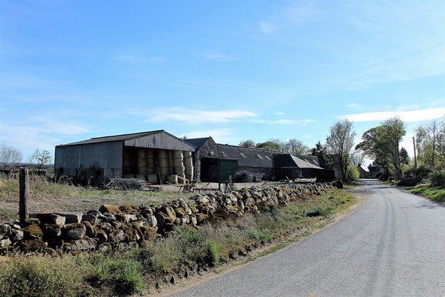
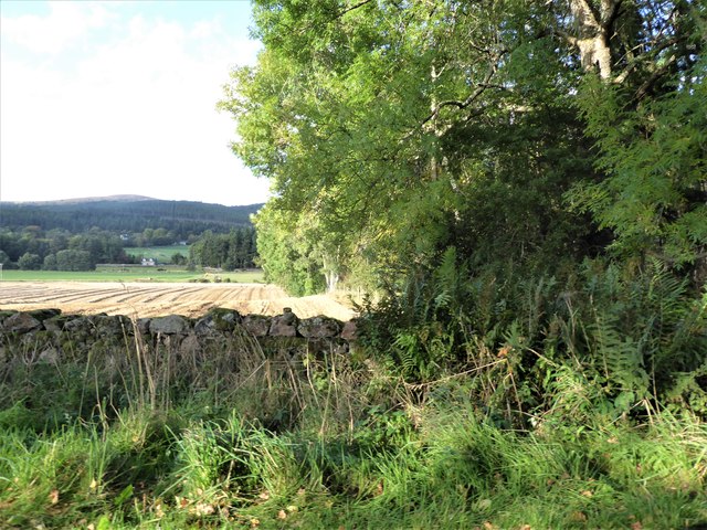
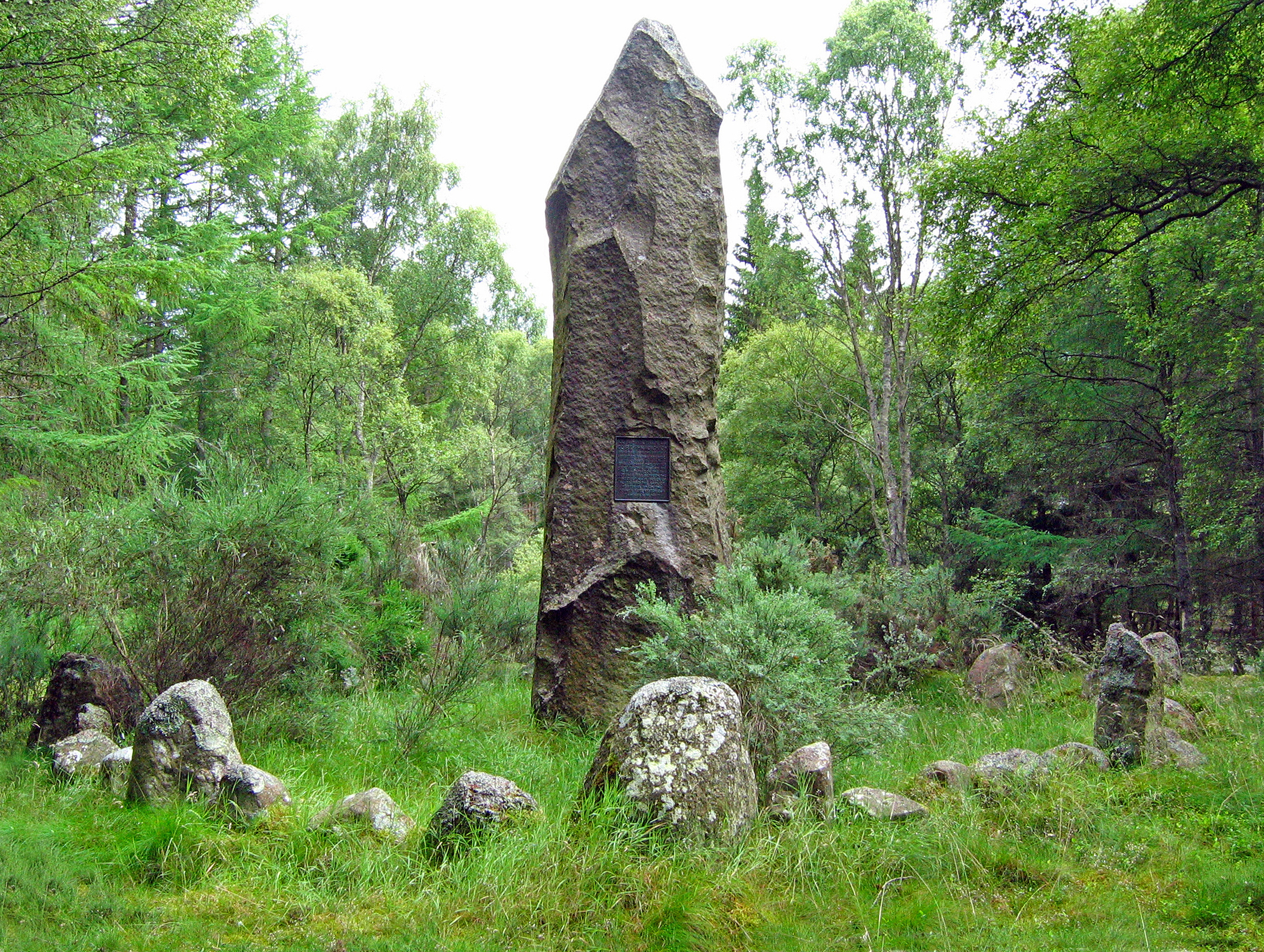
South Belt Images

Images are sourced within 2km of 57.089533/-2.4756486 or Grid Reference NO7199. Thanks to Geograph Open Source API. All images are credited.

A waterfall in the forest Found this while out geocaching and I think only geocachers will have seen it
A waterfall in the forest
Found this while out geocaching and I think only geocachers will have seen it
Access to Craigton (March) Across B977, from near Hattonburn (off right).
Access to Craigton (March)
Across B977, from near Hattonburn (off right).
Hattonburn farmstead and access track From minor road to Craigton (B977).
Hattonburn farmstead and access track
From minor road to Craigton (B977).
Wide field gates Off minor road near Hattonburn; 6-bat steel gates.
Wide field gates
Off minor road near Hattonburn; 6-bat steel gates.
A gate and stone-wall field boundary On minor road south of Hattonburn.
A gate and stone-wall field boundary
On minor road south of Hattonburn.
Kilduthie Field A field by Kilduthie with a pheasant foraging and stands of Willow, grown for biomass, behind.
Kilduthie Field
A field by Kilduthie with a pheasant foraging and stands of Willow, grown for biomass, behind.
North Hirn The farmyard of North Hirn with its barn and steading.
North Hirn
The farmyard of North Hirn with its barn and steading.
South Hirn The rear ,working, side of South Hirm steading.
South Hirn
The rear ,working, side of South Hirm steading.
Hirn Barn The bale stacked barn at South Hirn Farm.
Hirn Barn
The bale stacked barn at South Hirn Farm.
South Hirn Farm The working farm of South Hirn from the east.
South Hirn Farm
The working farm of South Hirn from the east.
View from SW corner of Hawthorn Wood Towards the 'Burnside Belts' of trees near Raemoir, by the B977 (centre left).
View from SW corner of Hawthorn Wood
Towards the 'Burnside Belts' of trees near Raemoir, by the B977 (centre left).
Trees Felled The corner trees have been cleared exposing Kilduthie farm buildings to view.
Trees Felled
The corner trees have been cleared exposing Kilduthie farm buildings to view.
Kilduthie Gold A harvest ripening at Kilduthie.
Kilduthie Gold
A harvest ripening at Kilduthie.
SW corner of Hawthorn Wood On minor road between Crathes and Raemoir Mill in autumn.
SW corner of Hawthorn Wood
On minor road between Crathes and Raemoir Mill in autumn.
Track leading to Hattonburn Looking north-eastward.
Track leading to Hattonburn
Looking north-eastward.
Track between Kilduthie Belt and arable fields Looking westward
Track between Kilduthie Belt and arable fields
Looking westward
Raemoir House Hotel
Raemoir House Hotel
Stubble field with stone wall, east of Hawthorn Wood With the Hill of Fare in the background.
Stubble field with stone wall, east of Hawthorn Wood
With the Hill of Fare in the background.
Show me another place!

South Belt is located at Grid Ref: NO7199 (Lat: 57.089533, Lng: -2.4756486)

Unitary Authority: Aberdeenshire

Police Authority: North East

What 3 Words

///fractions.seagull.shoppers. Near Banchory, Aberdeenshire

Related Wikis

Raemoir House

Raemoir House is a Category B listed Georgian mansion house located in Banchory, Aberdeenshire, Scotland. Its origins date back to the Ha'Hoose (Hall House...

Cluny Crichton Castle

Cluny Crichton Castle (also known as Clounie Crighton Castle) is a ruined 3-story tower house on the southern slopes of the Hill of Fare in Aberdeenshire...

Battle of Corrichie

The Battle of Corrichie was fought on the slopes of the Hill of Fare in Aberdeenshire, Scotland, on 28 October 1562. It was fought between the forces of...

Crathes Castle

Crathes Castle (pronounced KRATH-iss) is a castle, built in the 16th-century, near Banchory in Aberdeenshire, Scotland. It is in the historic county of...

Nearby Amenities

Located within 500m of 57.089533,-2.4756486
Power: pole
Lat/Long: 57.0907085/-2.4833839
Power: pole
Lat/Long: 57.0909668/-2.4823341
Power: pole
Lat/Long: 57.0912172/-2.4813028
Power: pole
Lat/Long: 57.0914462/-2.4802219
Power: pole
Lat/Long: 57.0916753/-2.479139
Power: pole
Lat/Long: 57.0919043/-2.4780622
Power: pole
Lat/Long: 57.0921828/-2.4769442
Power: pole
Lat/Long: 57.0924691/-2.4758509
Power: pole
Lat/Long: 57.0927397/-2.4752371
Power: pole
Lat/Long: 57.0930574/-2.4745386
Power: pole
Lat/Long: 57.0933303/-2.4739144
Material: wood
Power: pole
Lat/Long: 57.0927217/-2.4703164
Material: wood
Power: pole
Lat/Long: 57.090987/-2.4742337
Material: wood
Power: pole
Lat/Long: 57.0912419/-2.4731735
Power: pole
Lat/Long: 57.091572/-2.4724357
Material: wood
Power: pole
Lat/Long: 57.0919268/-2.4716711
Material: wood
Power: pole
Lat/Long: 57.0922861/-2.4709209
Material: wood
Power: pole
Lat/Long: 57.09256/-2.4703546
Post Box
Brand: Royal Mail
Brand Wikidata: Q638098
Check Date: 2022-06-20
Collection Times: Mo-Sa 11:00; Su off
Manufacturer: WT Allen
Operator: Royal Mail
Operator Wikidata: Q638098
Post Box Design: type_b
Post Box Type: wall
Ref: AB31 223
Royal Cypher: VR
Royal Cypher Wikidata: Q33102356
Source: survey
Lat/Long: 57.0910136/-2.4740135
The data included in this document is from www.openstreetmap.org. The data is made available under ODbL.

Have you been to South Belt?

Leave your review of South Belt below (or comments, questions and feedback).