Henlaw Wood

Wood, Forest in Berwickshire

Scotland

Henlaw Wood

Minor road near Longformacus
Minor road near Longformacus Credit: Steven Brown

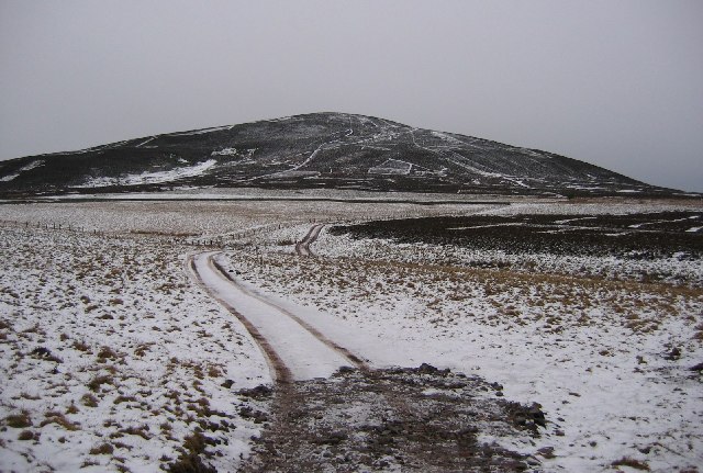
Henlaw Wood is a picturesque forest located in the heart of Berwickshire, a historic county in the Scottish Borders region of Scotland. Covering an area of approximately 200 hectares, the wood is an enchanting blend of native trees, including oak, birch, and beech, which have been growing undisturbed for centuries.

The wood is a haven for wildlife, providing a diverse habitat for numerous species. Bird enthusiasts can spot a variety of feathered creatures, such as woodpeckers, owls, and wrens, while those with a keen eye may even catch a glimpse of elusive red squirrels and roe deer. The forest floor is carpeted with a rich tapestry of wildflowers, adding bursts of color to the serene landscape.

Visitors to Henlaw Wood can explore its numerous trails and pathways, which wind through the dense foliage, offering breathtaking views of the surrounding countryside. The wood is a popular destination for hikers, nature lovers, and families seeking a peaceful retreat. The tranquil atmosphere and the soothing sounds of nature make it an ideal location for picnics and leisurely walks.

Henlaw Wood is also steeped in history, with remnants of ancient settlements and archaeological sites scattered throughout the forest. These remnants serve as a reminder of the wood's significance and the generations of people who have coexisted with its natural beauty.

In summary, Henlaw Wood is a captivating woodland in Berwickshire, offering a sanctuary for wildlife and a serene escape for visitors. Its diverse flora and fauna, coupled with its rich history, make it a must-visit destination for anyone seeking to immerse themselves in the beauty of nature.

If you have any feedback on the listing, please let us know in the comments section below.
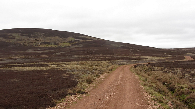
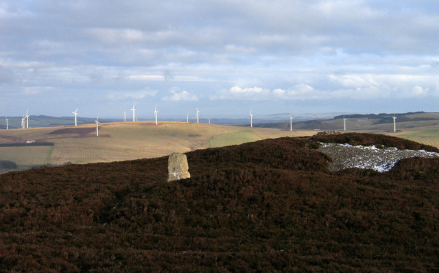
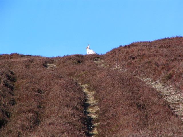
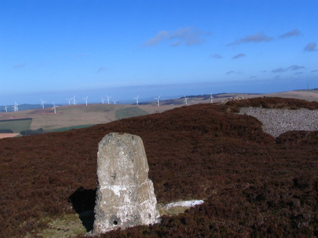
Henlaw Wood Images

Images are sourced within 2km of 55.784694/-2.4608477 or Grid Reference NT7154. Thanks to Geograph Open Source API. All images are credited.

Minor road near Longformacus
Dirrington Great Law Moorland slopes of Dirrington Great Law. The hill is quite steep.
Dirrington Great Law
Moorland slopes of Dirrington Great Law. The hill is quite steep.
Butt, Dirrington Great Law One of a line of grouse butts on the steep slopes of Dirrington Great Law.  The ballot for the guns will be interesting here, get the top butt and expect some exercise.
Butt, Dirrington Great Law
One of a line of grouse butts on the steep slopes of Dirrington Great Law. The ballot for the guns will be interesting here, get the top butt and expect some exercise.
Triangulation pillar, Dirrington Great Law Since my last visit, the pillar has been dug up and has fallen over.
Triangulation pillar, Dirrington Great Law
Since my last visit, the pillar has been dug up and has fallen over.
Dyke, Dirrington Great Law A dyke and electric fence runs over the southern shoulder of Dirrington Great Law.
Dyke, Dirrington Great Law
A dyke and electric fence runs over the southern shoulder of Dirrington Great Law.
Track on Dirrington Great Law The track goes to the summit, but by spiraling around the west side of the hill and finishing from the south. This avoids steep ground. Black Hill power station is in the background.
Track on Dirrington Great Law
The track goes to the summit, but by spiraling around the west side of the hill and finishing from the south. This avoids steep ground. Black Hill power station is in the background.
Kippetlaw road Surfaced in the local red stone, a newish road.
Kippetlaw road
Surfaced in the local red stone, a newish road.
Summit area of Dirrington Great Law Dirrington Great Law's summit is heather covered and has cairns 'of antiquity' one of which is in view. The trig point is deteriorating and is no longer recorded on OS maps.
Summit area of Dirrington Great Law
Dirrington Great Law's summit is heather covered and has cairns 'of antiquity' one of which is in view. The trig point is deteriorating and is no longer recorded on OS maps.
Moorland beneath Dirrington Great Law Dark clouds, rain never seems to be far off.
Moorland beneath Dirrington Great Law
Dark clouds, rain never seems to be far off.
Dirrington Great Law, summit The triangulation pillar has been toppled.
Dirrington Great Law, summit
The triangulation pillar has been toppled.
Dirrington Great Law Third Lammermuir top of the day from SE of Dronsheil, dry and clear with view of toppled unloved trig to true summit heathery mound 25 metres to the east.
Name: Dirrington Great Law
Hill number: 1825
Height: 398m / 1306ft
Area: 28A: Firth of Forth to the River Tweed
Class: Ma
Grid ref: NT 69835 54920
Summit feature: small cairn on heathery mound
Drop: 157m
Col: 241m  NT694539
Dirrington Great Law
Third Lammermuir top of the day from SE of Dronsheil, dry and clear with view of toppled unloved trig to true summit heathery mound 25 metres to the east. Name: Dirrington Great Law Hill number: 1825 Height: 398m / 1306ft Area: 28A: Firth of Forth to the River Tweed Class: Ma Grid ref: NT 69835 54920 Summit feature: small cairn on heathery mound Drop: 157m Col: 241m NT694539
Dirrington Great Law Summit Looking eastward. There is another cairn and a badly damaged trig pillar up here as well.
Dirrington Great Law Summit
Looking eastward. There is another cairn and a badly damaged trig pillar up here as well.
Kippetlaw Burn Burn running below Dirrington Great Law on a scorching July morning.
Kippetlaw Burn
Burn running below Dirrington Great Law on a scorching July morning.
Trig Point, Dirrington Great Law Heather-clad summit, looking west.
Trig Point, Dirrington Great Law
Heather-clad summit, looking west.
Which way to Kippetlaw? A track junction - go left to Kippetlaw Farm - go right to Longformacus. The old route went left but now goes straight on & curves round later on.
Which way to Kippetlaw?
A track junction - go left to Kippetlaw Farm - go right to Longformacus. The old route went left but now goes straight on & curves round later on.
Good for the gizzard Gravel set out for the grouse. They need this in their gizzards to grind down the heather shoots they eat. The wee white sticks mark out the various piles around the hills. This bit of the grouse moor is shown as Hallywell Rig.
Good for the gizzard
Gravel set out for the grouse. They need this in their gizzards to grind down the heather shoots they eat. The wee white sticks mark out the various piles around the hills. This bit of the grouse moor is shown as Hallywell Rig.
Hare today A hare on the track just below the summit of Dirrington Great Law. Still in white coat despite it being April & warm, the days cannot have lengthened enough yet.
Hare today
A hare on the track just below the summit of Dirrington Great Law. Still in white coat despite it being April & warm, the days cannot have lengthened enough yet.
Decrepit and Unloved A trig point gradually falls apart. This one is not even marked on the map and will gradually disappear.
Decrepit and Unloved
A trig point gradually falls apart. This one is not even marked on the map and will gradually disappear.
Show me another place!

Henlaw Wood is located at Grid Ref: NT7154 (Lat: 55.784694, Lng: -2.4608477)

Unitary Authority: The Scottish Borders

Police Authority: The Lothians and Scottish Borders

What 3 Words

///oiled.parts.riskiest. Near Duns, Scottish Borders

Nearby Locations

Henlaw Wood

Related Wikis

Nearby Amenities

Located within 500m of 55.784694,-2.4608477
Henlaw Cottage
Place: isolated_dwelling
Lat/Long: 55.7858317/-2.4536175
The data included in this document is from www.openstreetmap.org. The data is made available under ODbL.

Have you been to Henlaw Wood?

Leave your review of Henlaw Wood below (or comments, questions and feedback).