Stichill Brae

Wood, Forest in Roxburghshire

Scotland

Stichill Brae

B6364 north of Stitchill
B6364 north of Stitchill Credit: Richard Webb

Stichill Brae is a picturesque woodland located in Roxburghshire, Scotland. Nestled in the southern uplands of the country, this enchanting forest covers a vast area, boasting an array of natural wonders and captivating landscapes.

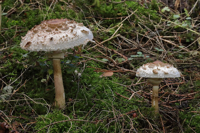
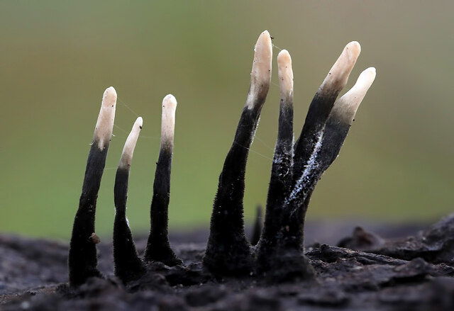
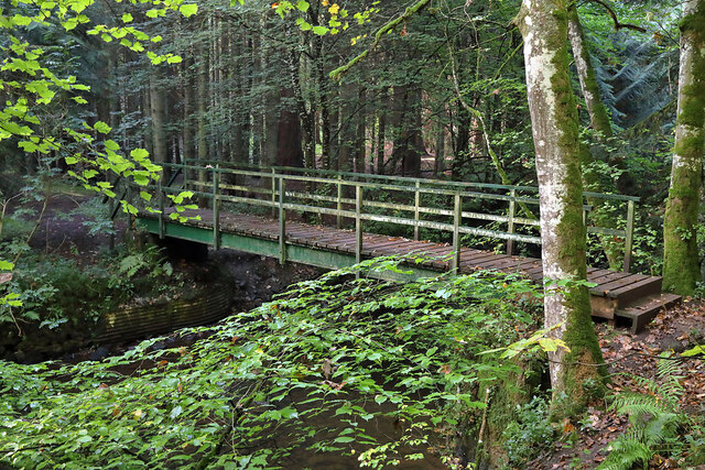
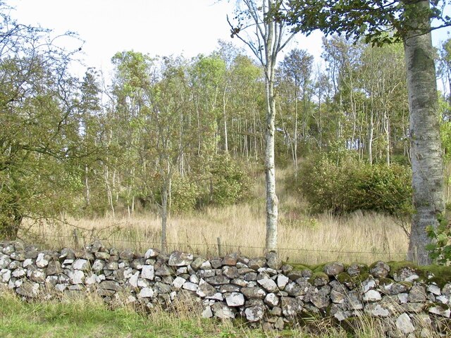
The woodland is predominantly composed of a mix of deciduous and coniferous trees, creating a diverse and vibrant ecosystem. Towering oak, beech, and birch trees provide a stunning canopy overhead, while the aromatic scents of pine and spruce fill the air. The forest floor is adorned with a rich carpet of mosses, ferns, and wildflowers, adding a splash of color to the surroundings.

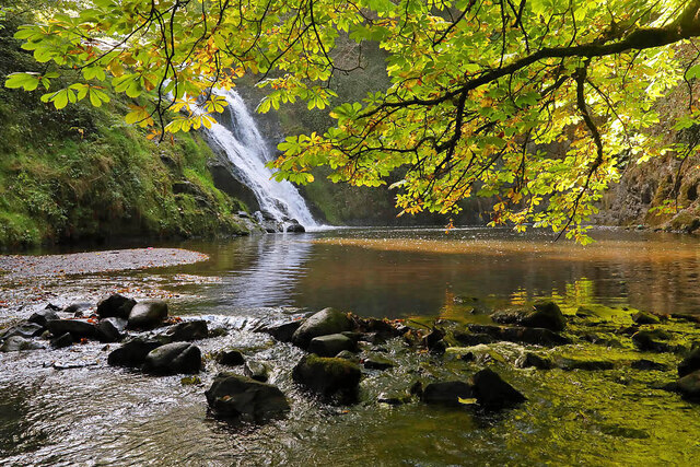
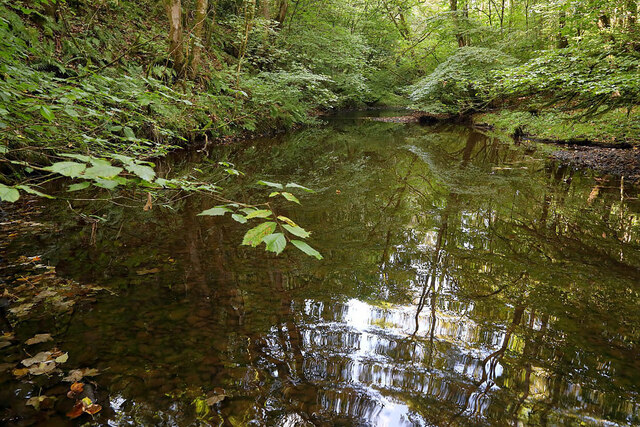
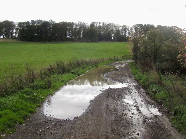
Stichill Brae offers a tranquil escape for nature enthusiasts and outdoor enthusiasts alike. The forest is crisscrossed with well-maintained paths, allowing visitors to explore its hidden nooks and crannies. As they venture deeper into the woods, they may stumble upon babbling brooks, cascading waterfalls, and tranquil ponds, creating a serene and calming atmosphere.

The woodland is also home to a diverse range of wildlife. Keen observers may spot red squirrels darting between the trees, while woodpeckers drum away in search of insects. The forest is also a haven for birdwatchers, with species such as owls, buzzards, and finches frequently spotted.

Stichill Brae is not only a natural treasure but also holds historical significance. The remnants of ancient settlements and burial sites can be found within the woodland, offering a glimpse into the area's rich past.

Overall, Stichill Brae is a magical woodland that captivates visitors with its beauty and tranquility. Whether it is for a leisurely stroll, birdwatching, or a peaceful picnic, this forest provides an idyllic escape from the bustling modern world.

If you have any feedback on the listing, please let us know in the comments section below.

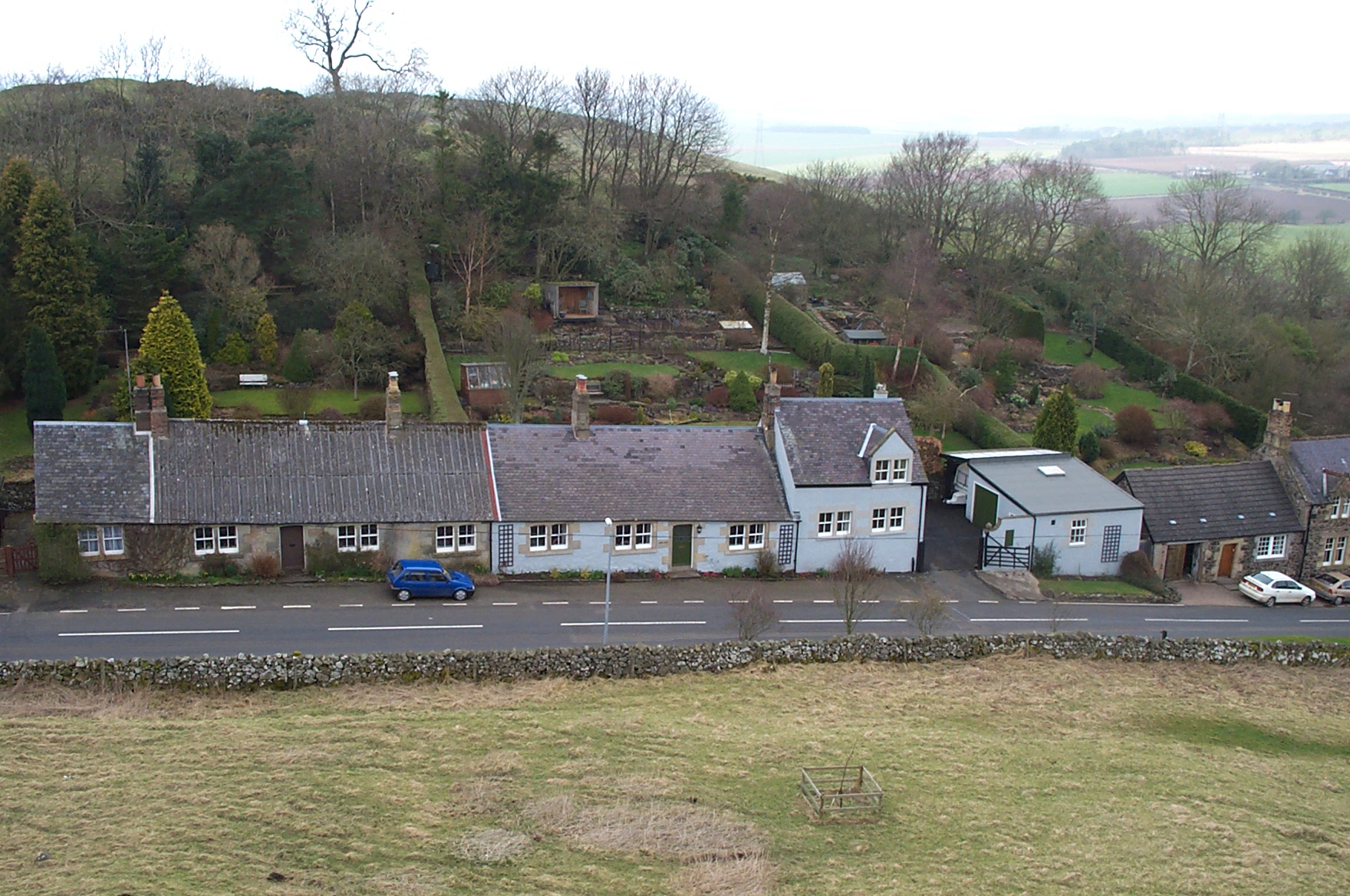
Stichill Brae Images

Images are sourced within 2km of 55.636948/-2.4591585 or Grid Reference NT7138. Thanks to Geograph Open Source API. All images are credited.

B6364 north of Stitchill
Roadside rowans Road to Humebyres.
Roadside rowans
Road to Humebyres.
View towards Hume Castle
Sweethope to Stitchill road
Road passing Laird's Hill A route between Sweethope and Stitchill.
Road passing Laird's Hill
A route between Sweethope and Stitchill.
Sweethope Hill View from Ednam Hill. The tree by the summit is quite a landmark.
Sweethope Hill
View from Ednam Hill. The tree by the summit is quite a landmark.
Parkend A rural byway near Parkend, west of Stichill.
Parkend
A rural byway near Parkend, west of Stichill.
Shaggy parasol mushrooms (Chlorophyllum rhacodes) The mushrooms were photographed at Mill Haugh on the Newton Don Estate.
Shaggy parasol mushrooms (Chlorophyllum rhacodes)
The mushrooms were photographed at Mill Haugh on the Newton Don Estate.
Stichill Linn The pool below the waterfall is popular with wild swimmers.
Stichill Linn
The pool below the waterfall is popular with wild swimmers.
The Eden Water This upstream view is at Newton Don.
The Eden Water
This upstream view is at Newton Don.
Candlesnuff fungus (Xylaria hypoxylon) With a white tip and black base this fungus looks like a snuffed candle wick, hence its name. The 20mm high fruiting bodies were on a piece of dead wood.
Candlesnuff fungus (Xylaria hypoxylon)
With a white tip and black base this fungus looks like a snuffed candle wick, hence its name. The 20mm high fruiting bodies were on a piece of dead wood.
A footbridge over the Eden Water The bridge links up with a path to Stichill Linn on the Newton Don Estate.
A footbridge over the Eden Water
The bridge links up with a path to Stichill Linn on the Newton Don Estate.
New houses, Stitchil The fierce fence is protecting children in the park from the road.
New houses, Stitchil
The fierce fence is protecting children in the park from the road.
Ploughed field, Stitchil
Telephone exchange, Stichill Entrance to Queenscairn Farm.
Telephone exchange, Stichill
Entrance to Queenscairn Farm.
Woodland, Queenscairn Hill
Road passing Laird's Hill A route between Sweethope and Stitchill.
Road passing Laird's Hill
A route between Sweethope and Stitchill.
Bank Park to Stitchill
Show me another place!

Stichill Brae is located at Grid Ref: NT7138 (Lat: 55.636948, Lng: -2.4591585)

Unitary Authority: The Scottish Borders

Police Authority: The Lothians and Scottish Borders

What 3 Words

///uncle.hotel.tides. Near Kelso, Scottish Borders

Related Wikis

Nearby Amenities

Located within 500m of 55.636948,-2.4591585
Stichill
Place: village
Wikidata: Q7616164
Wikipedia: en:Stichill
Lat/Long: 55.6380573/-2.4580826
Church
Naptan AtcoCode: 69001187
Naptan Bearing: W
Naptan BusStopType: CUS
Naptan CommonName: Church
Naptan Indicator: o/s
Naptan Landmark: Church
Naptan NaptanCode: 72726846
Naptan Street: B6363 junction
Naptan Verified: no
Source: naptan_import
Lat/Long: 55.6375129/-2.4601579
Bus Stop
Stichill Church
Bus: yes
Naptan AtcoCode: 6900796
Naptan Bearing: NE
Naptan CommonName: Stichill Church
Naptan Indicator: opp
Naptan Landmark: Church
Naptan NaptanCode: 72724585
Naptan Street: B6364
Operator: Scottish Borders Council
Public Transport: platform
Ref: 6900796
Source: NaPTAN
Lat/Long: 55.637746/-2.4598392
Noexit: yes
Lat/Long: 55.6374788/-2.4558761
Shelter
Shelter Type: public_transport
Lat/Long: 55.6384535/-2.4577662
Post Box
Operator: Royal Mail
Post Box Mounting: wooden_post
Post Box Type: lamp
Ref: TD5 20
Royal Cypher: scottish_crown
Lat/Long: 55.6388023/-2.4571871
Shelter
Shelter: yes
Shelter Type: public_transport
Lat/Long: 55.63776/-2.4598576
Noexit: yes
Lat/Long: 55.6386662/-2.4566621
Baillieknowe
Place: hamlet
Lat/Long: 55.637169/-2.4565341
Noexit: yes
Lat/Long: 55.640016/-2.4557912
Noexit: yes
Lat/Long: 55.6397949/-2.4557099
Give Way
Direction: backward
Lat/Long: 55.6403935/-2.4559401
Power: pole
Lat/Long: 55.6389255/-2.4530214
Power: pole
Lat/Long: 55.638212/-2.4545819
Power: pole
Lat/Long: 55.6375153/-2.4561402
Power: pole
Lat/Long: 55.6370605/-2.4573149
Power: pole
Lat/Long: 55.6366093/-2.4584596
Power: pole
Lat/Long: 55.6393972/-2.4537974
Power: pole
Lat/Long: 55.637756/-2.4569056
Power: pole
Lat/Long: 55.6379593/-2.4572168
Power: pole
Lat/Long: 55.6384033/-2.4578627
Power: pole
Lat/Long: 55.6388076/-2.4584191
Heritage Operator: Historic Environment Scotland
Heritage Website: https://portal.historicenvironment.scot/designation/LB19626
Historic: memorial
Inscription: To the men who fell in the Great War
Listed Status: Category C
Material: stone
Memorial: war_memorial
Ref GB Hs: LB19626
Start Date: 1920
Lat/Long: 55.6386785/-2.4576759
Bench
Backrest: yes
Material: wood
Lat/Long: 55.6386702/-2.4576907
Defibrillator
Access: yes
Defibrillator Location: outside Stichill Village Hall
Emergency: defibrillator
Indoor: no
Ref GB The Circuit: CDFF48D8-4CEB-4901-9016-EEDACE82043D
Lat/Long: 55.6394067/-2.4550664
Entrance: yes
Lat/Long: 55.6393709/-2.4552748
The data included in this document is from www.openstreetmap.org. The data is made available under ODbL.

Have you been to Stichill Brae?

Leave your review of Stichill Brae below (or comments, questions and feedback).