Black Wood
Wood, Forest in Kincardineshire
Scotland
Black Wood
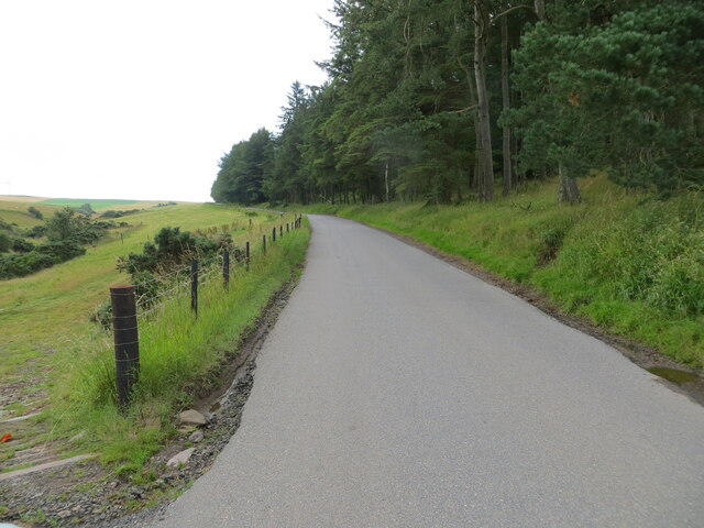
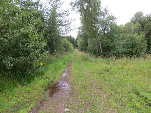
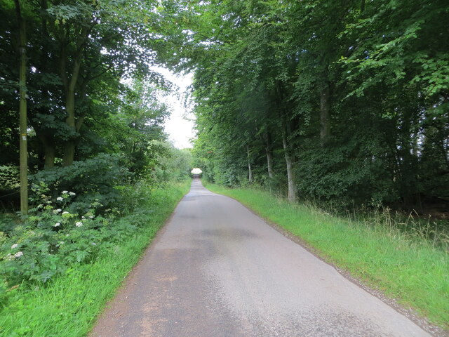
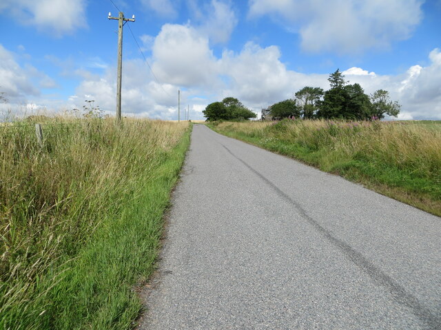
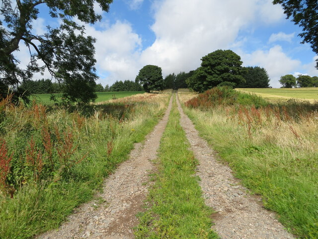
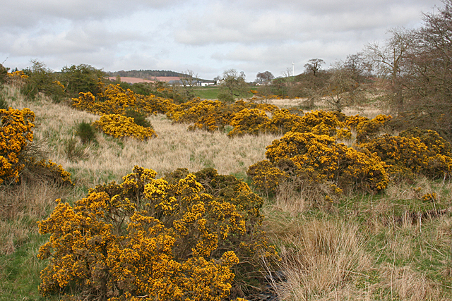
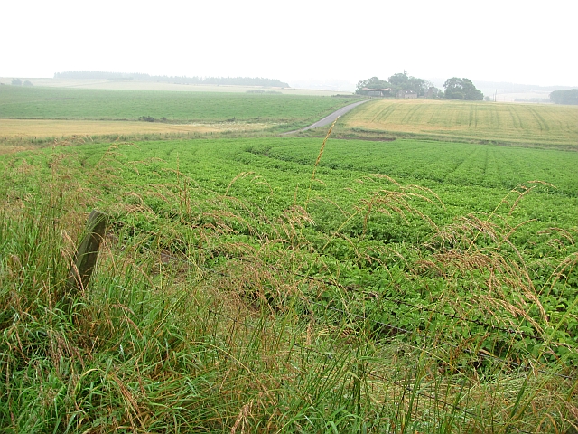
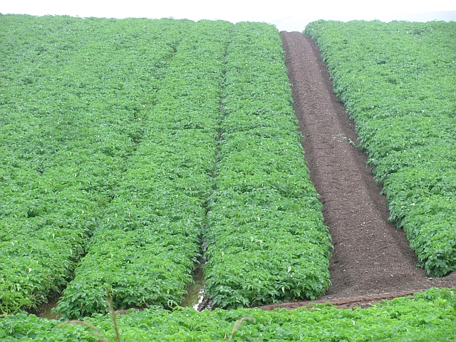
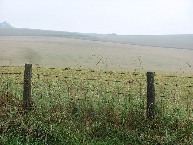
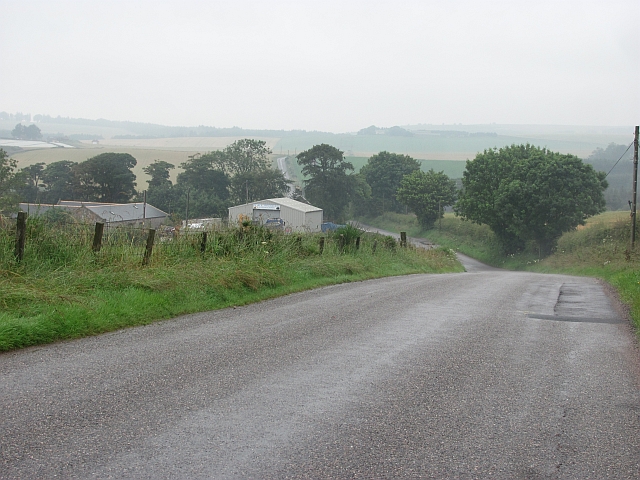
Black Wood, located in Kincardineshire, Scotland, is a captivating forest renowned for its rich biodiversity and historical significance. Spanning an area of approximately 100 hectares, this woodland is predominantly composed of ancient oak trees, with a few scattered birch and rowan trees. The forest's name is derived from the dark hue of the bark on the majestic oaks that dominate the landscape.
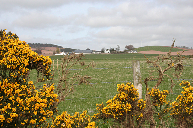
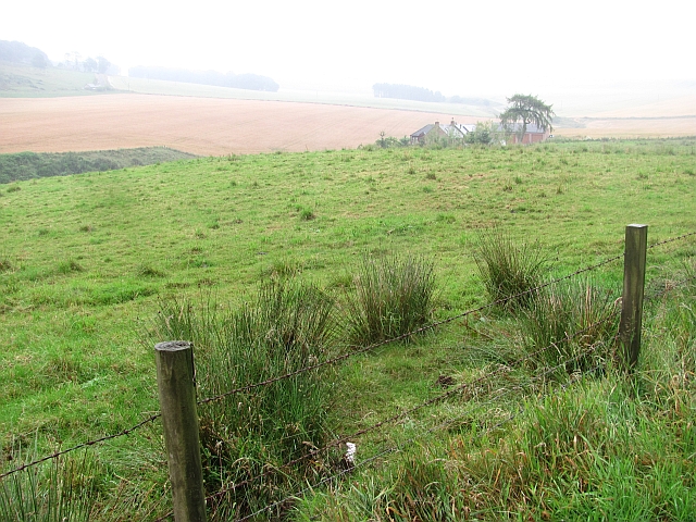
The forest floor is blanketed with a diverse array of flora, including bluebells, wood sorrel, and wild garlic, creating a vibrant and enchanting atmosphere. The wood is home to a wide range of wildlife, with red squirrels, badgers, and roe deer among the many species that call this ancient woodland their home. Bird enthusiasts flock to Black Wood to catch a glimpse of the rare capercaillie, as well as other native species such as woodpeckers, owls, and various songbirds.
Black Wood holds great historical significance, with remnants of old settlements and stone circles scattered throughout the area. The forest has served as a source of inspiration for countless artists and writers over the years, with its mystical ambiance and breathtaking beauty.
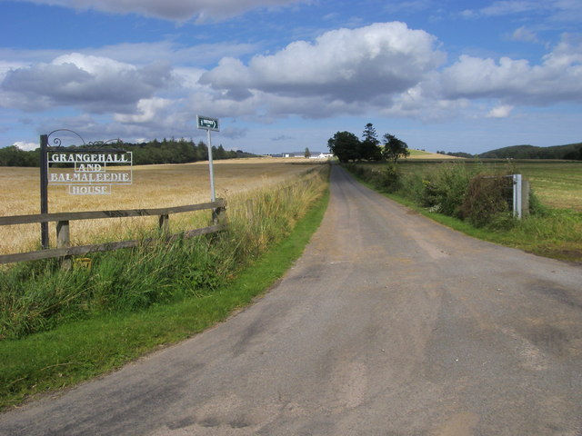
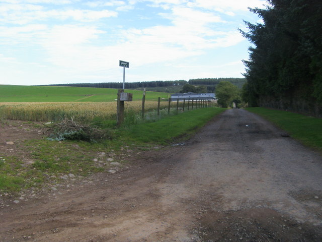
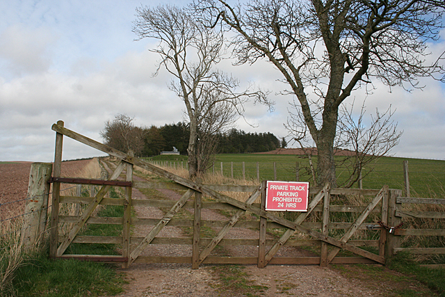
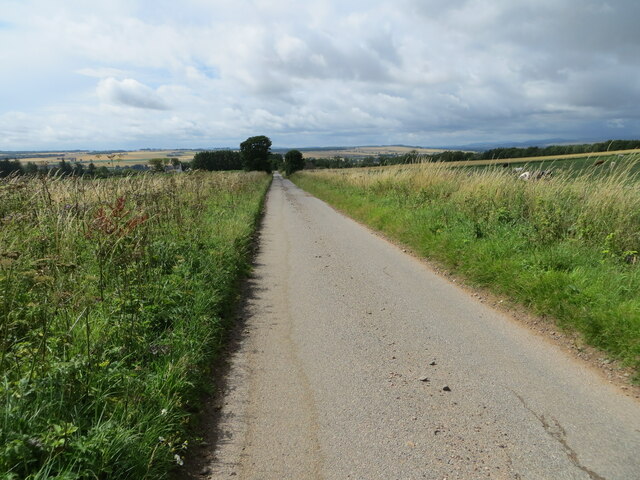
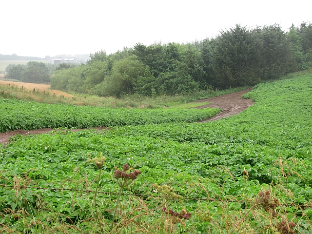
Visitors to Black Wood can explore its numerous walking trails, which wind through the towering trees, providing breathtaking views and opportunities for peaceful contemplation. The wood is managed by a local conservation trust, ensuring the preservation of its natural beauty and the protection of its diverse ecosystem.
Overall, Black Wood in Kincardineshire is a captivating destination for nature lovers, history enthusiasts, and those seeking tranquility amidst the ancient oaks and captivating wildlife.
If you have any feedback on the listing, please let us know in the comments section below.
Black Wood Images
Images are sourced within 2km of 56.786163/-2.4731921 or Grid Reference NO7166. Thanks to Geograph Open Source API. All images are credited.

Black Wood is located at Grid Ref: NO7166 (Lat: 56.786163, Lng: -2.4731921)
Unitary Authority: Aberdeenshire
Police Authority: North East
What 3 Words
///grid.blanket.worthy. Near St Cyrus, Aberdeenshire
Nearby Locations
Related Wikis
Marykirk
Marykirk (Scottish Gaelic: Obar Luathnait) is a village in the Kincardine and Mearns area of Aberdeenshire, Scotland, next to the border with Angus at...

Marykirk railway station
Marykirk railway station served the village of Marykirk, Kincardineshire, Scotland from 1849 to 1956 on the Aberdeen Railway. == History == The station...
Craigo
Craigo is a village in Angus, Scotland. It lies about 5 miles (8.0 km) northwest of Montrose, and 1 mile (1.6 km) south of Marykirk, which is across the...

Craigo railway station
Craigo railway station served the village of Craigo, Angus, Scotland from 1851 to 1956 on the Aberdeen Railway. == History == The station opened in 1851...
Mill of Morphie
The Mill of Morphie is a historic waterwheel in Aberdeenshire, Scotland. The Mill of Morphie is situated nearby to the Stone of Morphie, an unshaped extant...

Stone of Morphie
The Stone of Morphie (sometimes known as the Stone of Morphy) is a standing stone about 700 metres west of the Coast Highway (A92 road) bridge of the River...
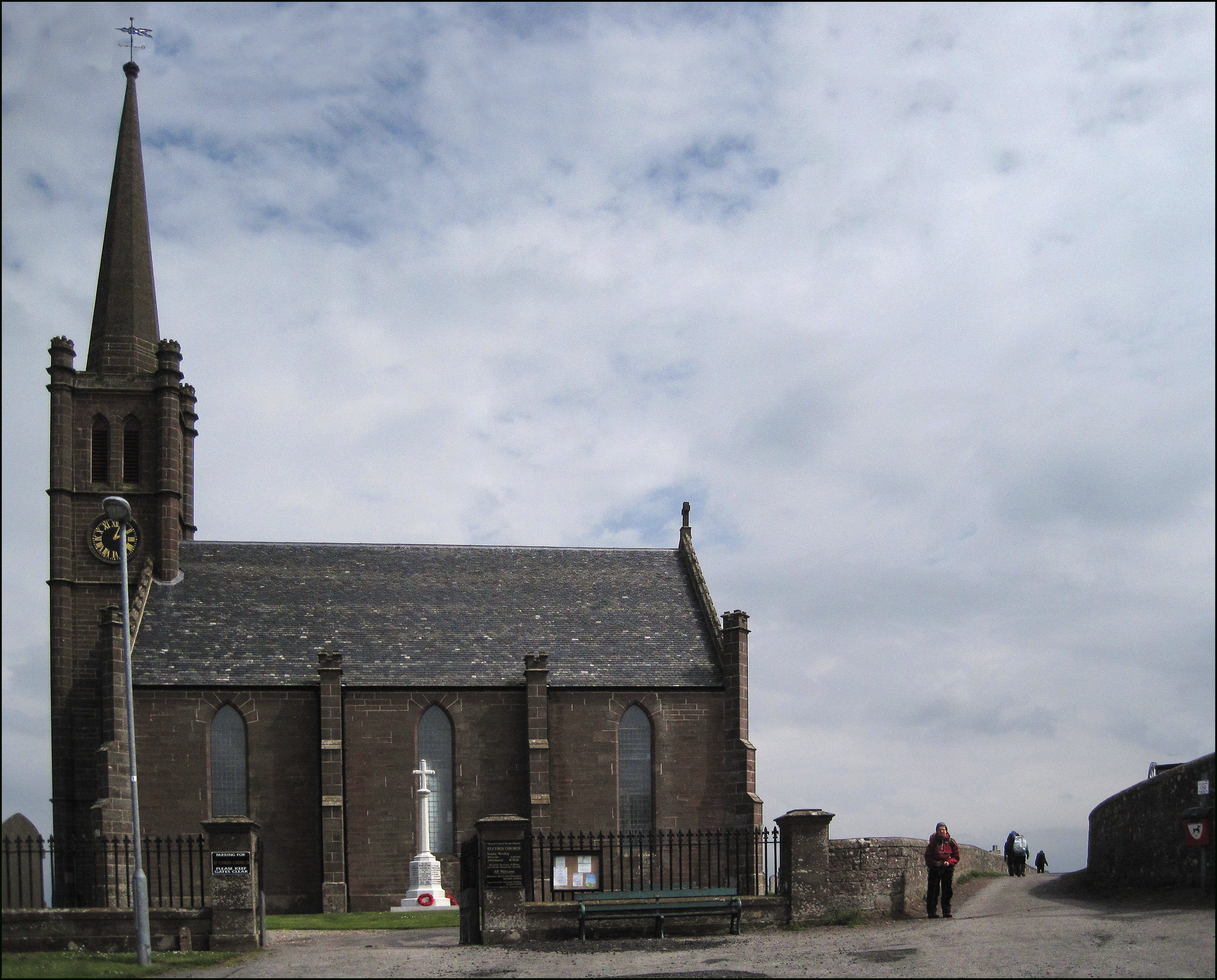
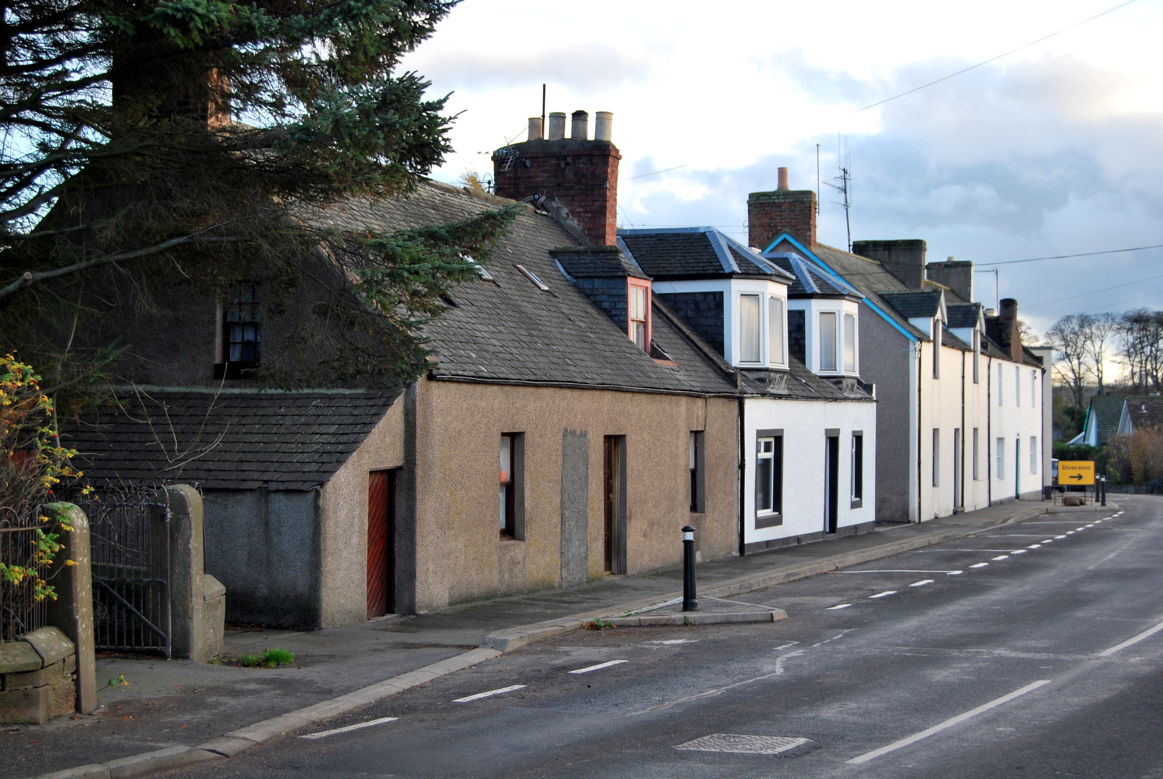
St Cyrus
St Cyrus or Saint Cyrus (Scots: Saunt Ceerus), formerly Ecclesgreig (from Scottish Gaelic: Eaglais Chiric) is a village in the far south of Aberdeenshire...

St Cyrus railway station
St Cyrus railway station served the village of St Cyrus, Aberdeenshire, Scotland from 1865 to 1951. == History == The station was opened on 1 November...
Nearby Amenities
Located within 500m of 56.786163,-2.4731921Have you been to Black Wood?
Leave your review of Black Wood below (or comments, questions and feedback).