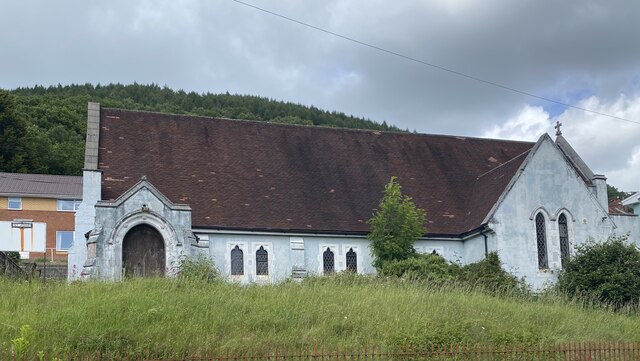
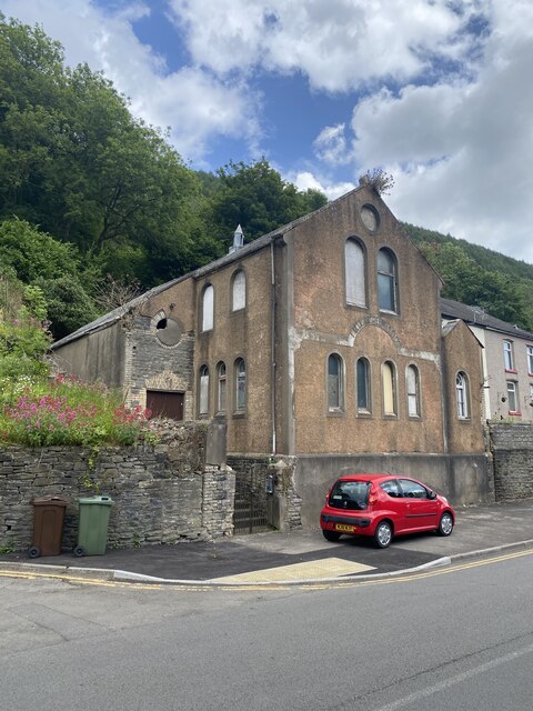
Chapel of Ease
Settlement in Monmouthshire
Wales
Chapel of Ease
The Chapel of Ease is a historic place located in Monmouthshire, a county in southeast Wales. Situated in a picturesque rural setting, this charming chapel dates back to the 13th century and stands as a testament to the region's rich architectural and religious heritage.
Constructed in the Gothic architectural style, the Chapel of Ease features a stone exterior adorned with intricate details and carvings. The interior is equally impressive, boasting vaulted ceilings, stained glass windows, and ornate furnishings that transport visitors back in time.
Originally built as a place of worship for the local community, the Chapel of Ease served as a satellite chapel for a larger parish church nearby. Its purpose was to provide a more convenient location for those living in remote areas, allowing them to attend religious services without having to travel long distances.
Over the centuries, the Chapel of Ease has witnessed significant historical events and has withstood the test of time. Today, it serves as a popular tourist attraction, drawing visitors from near and far who are eager to explore its historical and architectural significance.
Visitors to the Chapel of Ease can enjoy a peaceful and reflective atmosphere, as well as admire the exquisite craftsmanship and design of the building. The site also offers a glimpse into the religious practices and traditions of the local community throughout the centuries.
If you have any feedback on the listing, please let us know in the comments section below.
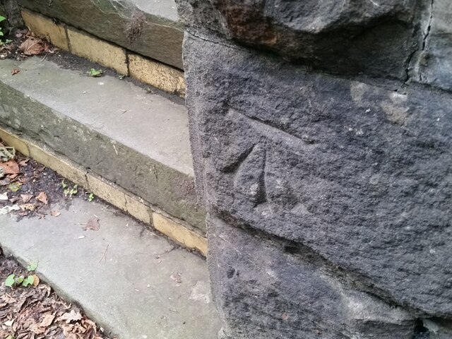
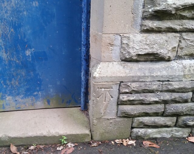
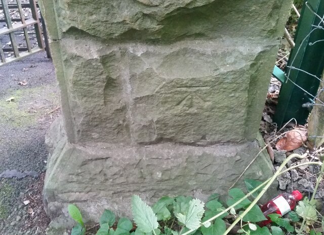
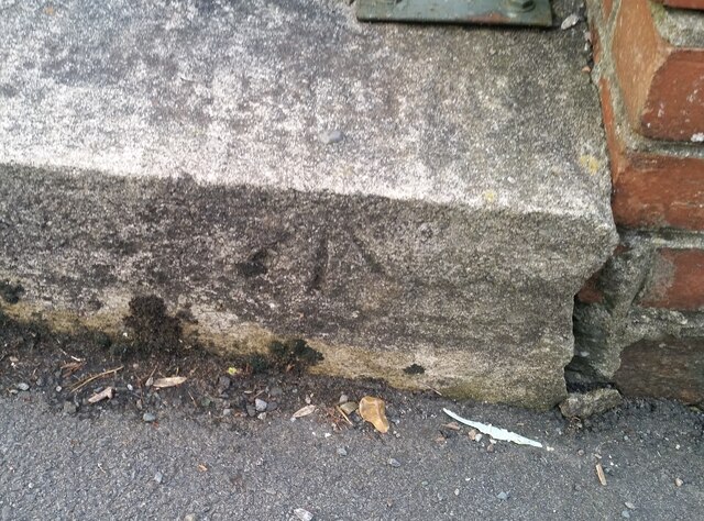
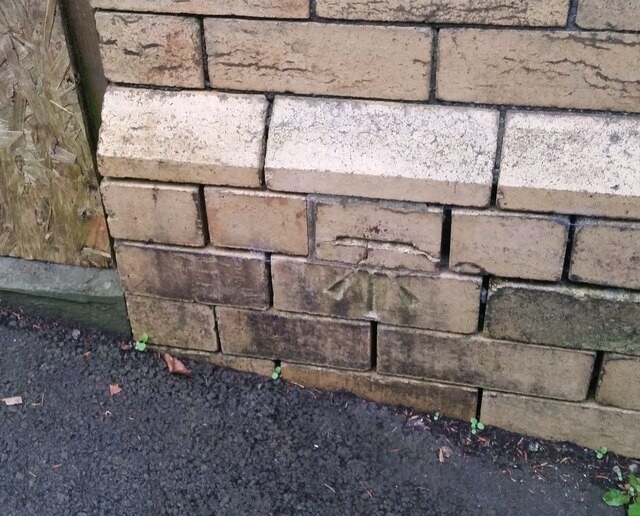
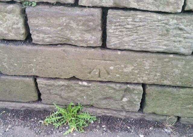
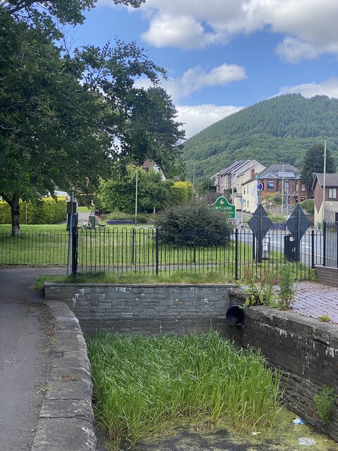
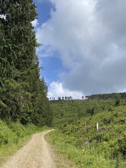
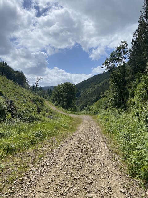
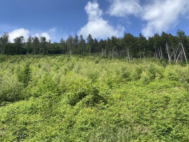
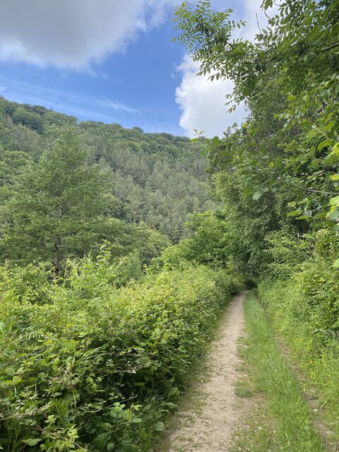
Chapel of Ease Images
Images are sourced within 2km of 51.648363/-3.1287584 or Grid Reference ST2295. Thanks to Geograph Open Source API. All images are credited.

Chapel of Ease is located at Grid Ref: ST2295 (Lat: 51.648363, Lng: -3.1287584)
Unitary Authority: Caerphilly
Police Authority: Gwent
What 3 Words
///trap.orbited.parkway. Near Abercarn, Caerphilly
Nearby Locations
Related Wikis

Abercarn colliery disaster
The Abercarn colliery disaster was a catastrophic explosion within the Prince of Wales Colliery in the Welsh village of Abercarn (then in the county of...
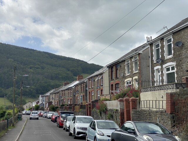
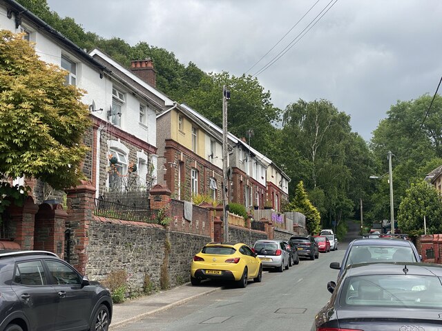
Abercarn
Abercarn is a town and community in Caerphilly county borough, Wales. It is 10 miles (16 km) northwest of Newport on the A467 between Cwmcarn and Newbridge...
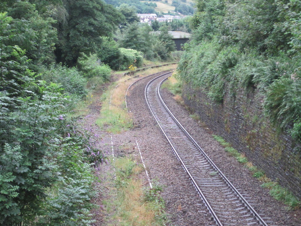
Abercarn railway station
Abercarn railway station served the village of Abercarn, in the county of Monmouthshire. == History == The station was opened by the Monmouthshire Railway...

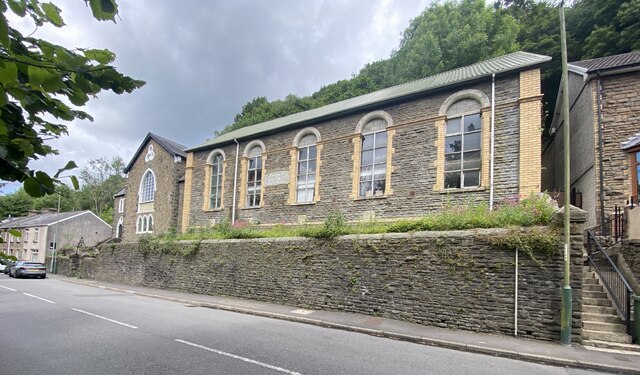
English Baptist Church, Abercarn
The English Baptist Church is a Grade II-listed Baptist church in the town of Abercarn, Caerphilly, Wales. It was built in the mid-nineteenth century to...
Abercarn United A.F.C.
Abercarn United Football Club is a Welsh football team based in Abercarn, Caerphilly county borough, Wales. They currently play in the Ardal SE, the...
Cwmcarn railway station
Cwmcarn railway station served the village of Cwmcarn, Monmouthshire from 1855 to 1962 on the Ebbw Valley Railway. == History == The station opened in...
Cwmcarn
Cwmcarn is a village situated in the Ebbw valley in south Wales, in the historic boundaries of Monmouthshire. It grew with 19th-century coal mining, but...

Islwyn
The Borough of Islwyn was one of five local government districts of Gwent from 1974 to 1996. == History == The borough was formed in 1974 as a local government...
Related Videos

31 May 2023
nature #summer #travel #picnic #familydayout Very good day.

Travel Together Cwmcarn Forrest - Cymru ( Wales ) United kingdom
Interested in the Items of the video ? - Anstore Picnic Blanket - https://amzn.to/3RUBA94 eBoutik pillow - https://amzn.to/3Ve5l7N ...
Crumlin Navigation #shorts
Crumlin Navigation: https://youtu.be/Yvq57MmD5dk To donate and support our channel: ...

Hiking for Health - Cwm Carn Forest & Mynydd Twyn-Glas - REALISATION
22/03/23 I went to Cwm Carn Forest & immersed myself in Nature to release some stress & gather my thoughts. Cwm Carn Forest ...
Nearby Amenities
Located within 500m of 51.648363,-3.1287584Have you been to Chapel of Ease?
Leave your review of Chapel of Ease below (or comments, questions and feedback).