Abercarn
Community in Monmouthshire
Wales
Abercarn
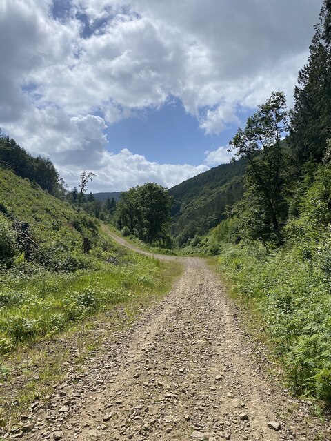
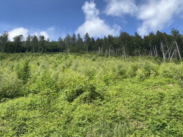
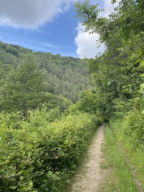
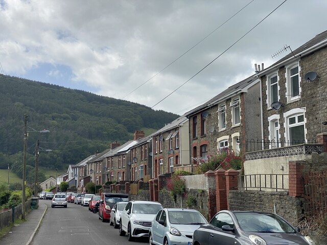
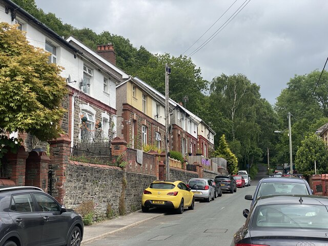
Abercarn is a community located in the county of Monmouthshire, Wales. Situated in the eastern part of the county, it lies within the historic boundaries of the former county of Gwent. Abercarn is positioned near the Ebbw River and is surrounded by picturesque landscapes and rolling hills.
The community is composed of several smaller villages, including Abercarn, Cwmcarn, and Newbridge. With a population of approximately 7,000 residents, Abercarn is a vibrant and close-knit community.
Abercarn has a rich industrial history, particularly in the coal mining sector. In the 19th and early 20th centuries, coal mining was a major industry in the area, attracting a large number of workers to the community. However, the decline of the coal industry in the mid-20th century significantly impacted Abercarn's economy.
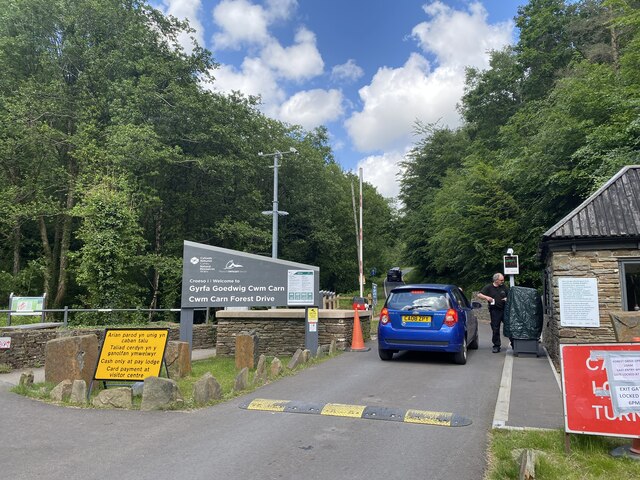
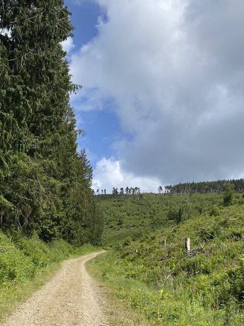
Despite the challenges faced, Abercarn has seen efforts towards regeneration and diversification. The community offers a range of amenities and services, including schools, shops, and leisure facilities. Cwmcarn Forest Drive, a nearby attraction, provides opportunities for outdoor activities such as cycling, walking, and picnicking.
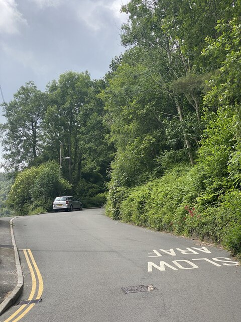
Transportation in Abercarn is facilitated by road connections, with the A467 passing through the community, linking it to nearby towns and cities. The community also benefits from regular bus services, providing convenient access to neighboring areas.
Overall, Abercarn is a community with a storied past, striving to adapt and thrive in the face of changing economic circumstances, while maintaining its strong sense of community and natural beauty.
If you have any feedback on the listing, please let us know in the comments section below.
Abercarn Images
Images are sourced within 2km of 51.649163/-3.118541 or Grid Reference ST2295. Thanks to Geograph Open Source API. All images are credited.

Abercarn is located at Grid Ref: ST2295 (Lat: 51.649163, Lng: -3.118541)
Unitary Authority: Caerphilly
Police Authority: Gwent
What 3 Words
///chum.applies.meant. Near Abercarn, Caerphilly
Nearby Locations
Related Wikis

Abercarn colliery disaster
The Abercarn colliery disaster was a catastrophic explosion within the Prince of Wales Colliery in the Welsh village of Abercarn (then in the county of...

Abercarn
Abercarn is a town and community in Caerphilly county borough, Wales. It is 10 miles (16 km) northwest of Newport on the A467 between Cwmcarn and Newbridge...

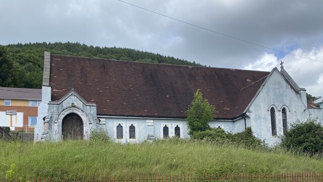
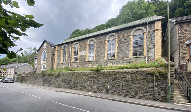
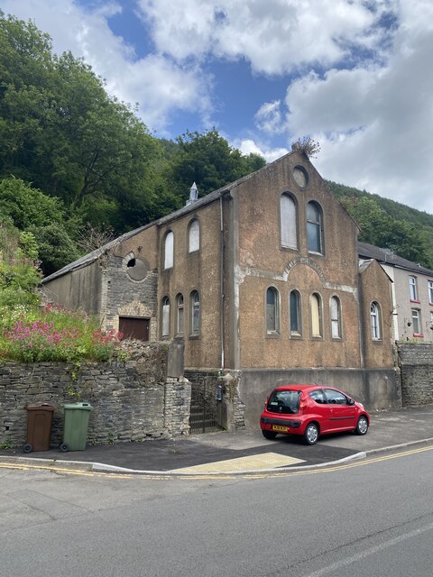
English Baptist Church, Abercarn
The English Baptist Church is a Grade II-listed Baptist church in the town of Abercarn, Caerphilly, Wales. It was built in the mid-nineteenth century to...
Abercarn railway station
Abercarn railway station served the village of Abercarn, in the county of Monmouthshire. == History == The station was opened by the Monmouthshire Railway...
Nearby Amenities
Located within 500m of 51.649163,-3.118541Have you been to Abercarn?
Leave your review of Abercarn below (or comments, questions and feedback).