Llanfach
Settlement in Monmouthshire
Wales
Llanfach
Llanfach is a small village located in Monmouthshire, Wales. Situated on the banks of the River Usk, it is nestled in the beautiful countryside of the Brecon Beacons National Park. With a population of around 500 people, Llanfach exudes a peaceful and idyllic charm.
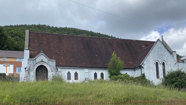
The village is steeped in history, with evidence of human presence dating back to the Bronze Age. Ruins of a Norman motte-and-bailey castle can still be seen, serving as a reminder of the area's medieval past. Llanfach is also known for its historic church, St. Fachtna's, which dates back to the 13th century. The church's architecture is a mix of Norman and Gothic styles, making it a noteworthy landmark.
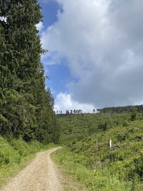
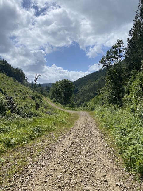
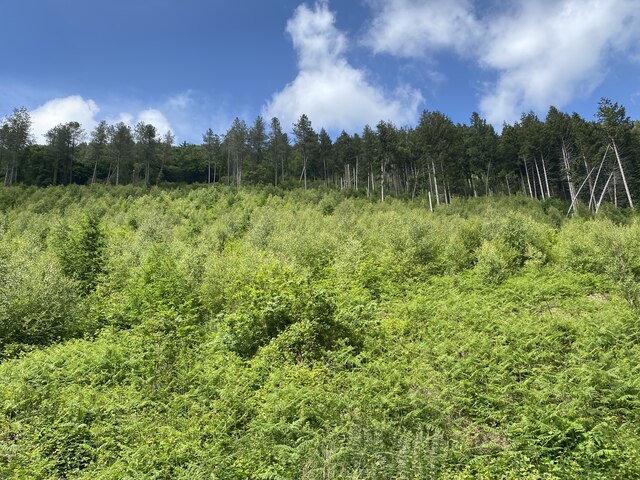
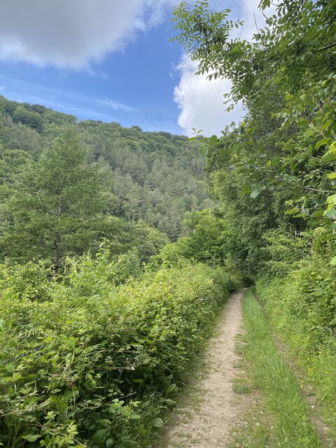
Nature enthusiasts will find plenty to explore in Llanfach. The surrounding countryside offers picturesque walking trails, allowing visitors to take in the natural beauty of the area. The River Usk is popular for fishing, attracting anglers from far and wide. The lush green fields and rolling hills provide a tranquil backdrop for those seeking a break from the bustle of city life.
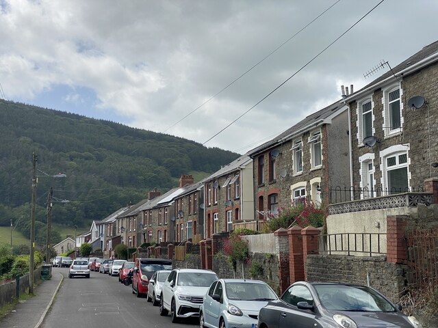
Despite its small size, Llanfach is a close-knit community that prides itself on its warm and welcoming atmosphere. The village has a local pub, The Red Lion, where residents and visitors can gather for a drink or a meal. The annual village fete and other community events bring everyone together, fostering a strong sense of community spirit.
In summary, Llanfach offers a serene and scenic retreat for those seeking a peaceful escape in the heart of the Welsh countryside. Its rich history, natural beauty, and tight-knit community make it a hidden gem worth exploring.
If you have any feedback on the listing, please let us know in the comments section below.
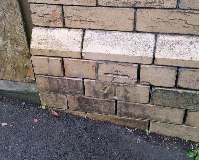
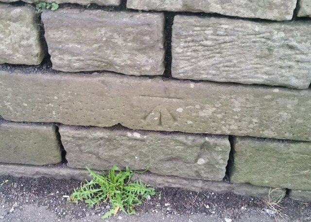
Llanfach Images
Images are sourced within 2km of 51.649786/-3.125798 or Grid Reference ST2295. Thanks to Geograph Open Source API. All images are credited.


Llanfach is located at Grid Ref: ST2295 (Lat: 51.649786, Lng: -3.125798)
Unitary Authority: Caerphilly
Police Authority: Gwent
What 3 Words
///taxi.innovator.crush. Near Abercarn, Caerphilly
Nearby Locations
Related Wikis

Abercarn colliery disaster
The Abercarn colliery disaster was a catastrophic explosion within the Prince of Wales Colliery in the Welsh village of Abercarn (then in the county of...

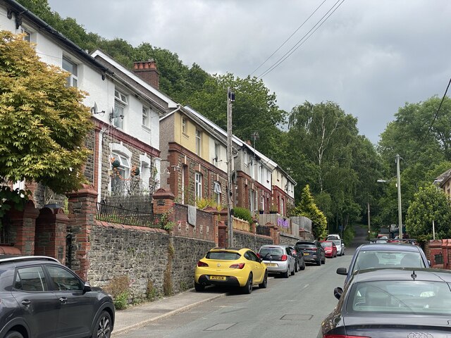
Abercarn
Abercarn is a town and community in Caerphilly county borough, Wales. It is 10 miles (16 km) northwest of Newport on the A467 between Cwmcarn and Newbridge...
Abercarn railway station
Abercarn railway station served the village of Abercarn, in the county of Monmouthshire. == History == The station was opened by the Monmouthshire Railway...

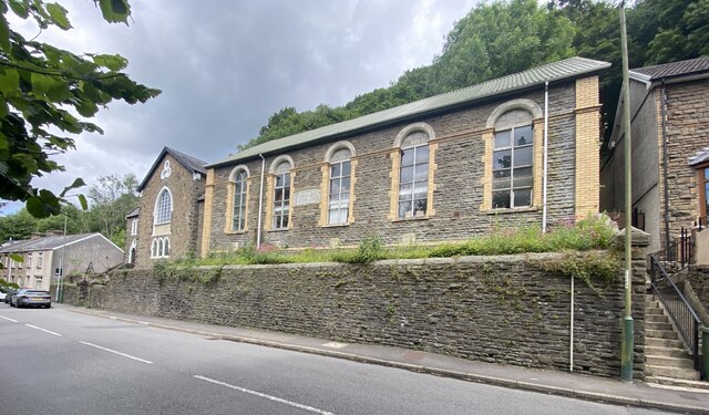
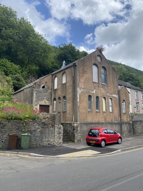
English Baptist Church, Abercarn
The English Baptist Church is a Grade II-listed Baptist church in the town of Abercarn, Caerphilly, Wales. It was built in the mid-nineteenth century to...
Nearby Amenities
Located within 500m of 51.649786,-3.125798Have you been to Llanfach?
Leave your review of Llanfach below (or comments, questions and feedback).